Northeast
Curonian Spit National Park
Exploring the narrow peninsula landscape of Lithuania
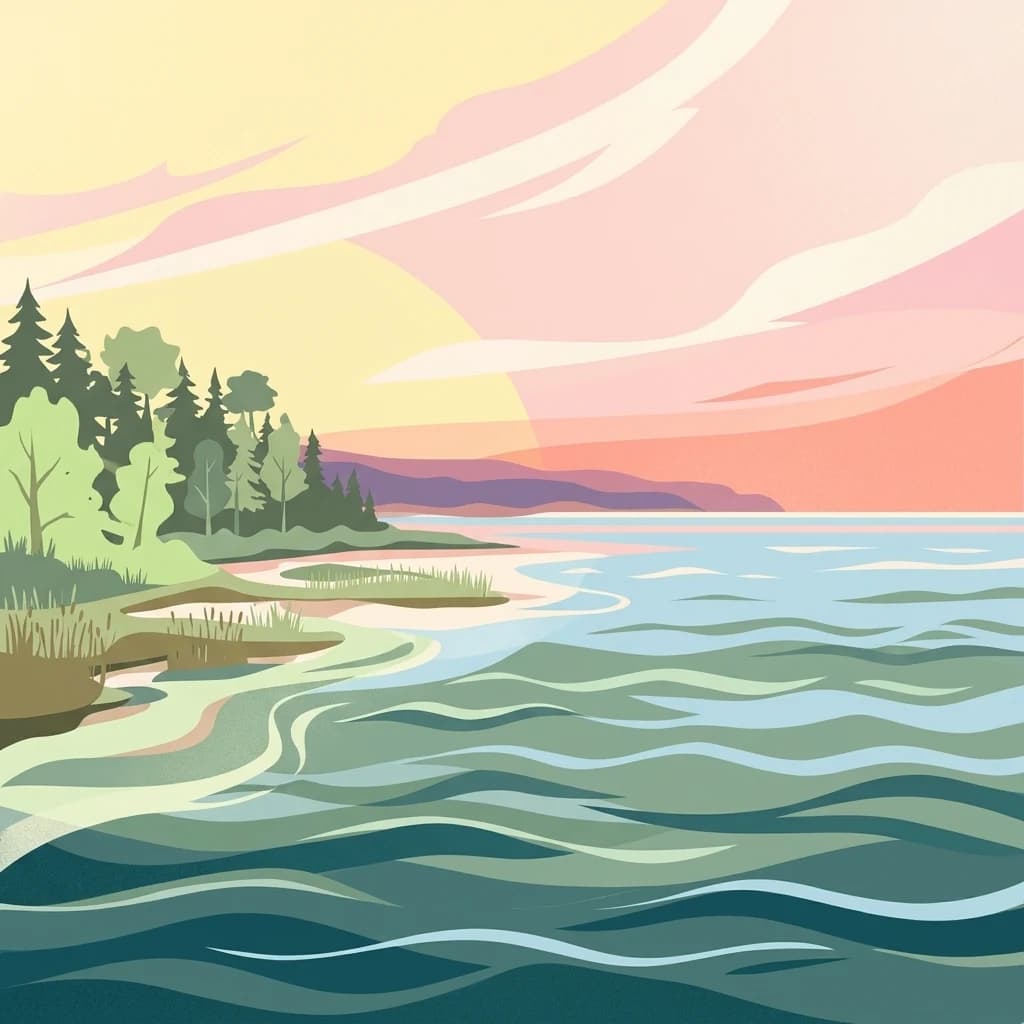
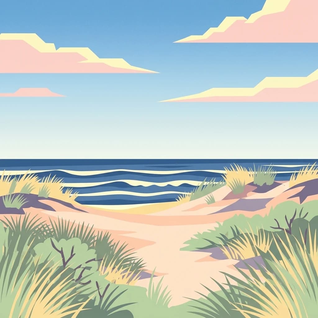
Curonian Spit National Park, in Lithuania. Landscapes: dunes, beaches, and coasts.
- Area
- 264.74 km²
- Established
- 1991
- IUCN
- II
- Visitors
- 400K annual
Regional map analysis and spatial distribution of surrounding coastal and dune landscapes.
Compare protected areas near Curonian Spit National Park, ordered by geographic distance. They include Curonian Spit and Curonian Spit National Park.

A UNESCO World Heritage landscape of shifting dunes and coastal ecosystems on Europe's longest sand spit
Curonian Spit National Park protects the Russian-owned southern portion of the Curonian Spit, one of the world's longest sand spits, stretching 98 kilometers along the Baltic coast. Established in 1987, this 6,621-hectare protected area encompasses a remarkable array of coastal and transitional ecosystems where the Baltic Sea meets the Curonian Lagoon. The spit, formed approximately 15,000 years ago as glaciers receded, creates a dynamic landscape of shifting sand dunes reaching heights of 35 meters, beach ridges, wetlands, meadows, and forests in close proximity to one another. This unique depositional landform is recognized as a UNESCO World Heritage Site shared between Russia and Lithuania, representing one of the Baltic region's most significant natural and cultural landscapes.
See the ranked park cluster in its geographic setting
Distance ranked regional park geography and surrounding protected landscapes

Northeast
Exploring the narrow peninsula landscape of Lithuania
Curonian Spit National Park, in Lithuania. Landscapes: dunes, beaches, and coasts.

Northeast
Explore the complex hydrology and floodplain geography of this Ramsar-listed regional park
Nemunas Delta Regional Park protects a unique river delta landscape shaped by seasonal floods and intricate water channels. Covering the lowlands where the Nemunas River reaches the Baltic Sea, the park is a primary site for ornithological research and wetland conservation, home to Rusnė Island and Lake Krokų Lanka. This protected area offers profound insight into coastal delta formation and the ecological importance of lowland floodplains.
Southwest
Geography of a distinctive morainic plateau in northern Poland
Investigate the natural landscape of Park Krajobrazowy Wysoczyzny Elbląskiej, a protected area in the Warmian-Masurian Voivodeship. Focus on the interplay between stream valleys, morainic ridges, and rare plant communities. This mapping resource details the ecological significance of the upland terrain and its transition toward coastal lowland borders.

Northeast
Explore protected areas and natural geography in Northwestern Lithuania.
Žemaitija National Park is a protected natural reserve in Lithuania, defined by its distinctive glacially sculpted landscape. This park preserves over 217 square kilometers of hilly terrain, featuring significant lake systems like Lake Plateliai and substantial forest cover interspersed with wetlands. Users can explore the park's unique topographic character, its mapped geographic features, and its role as a vital protected area within the Samogitian region, offering a rich context for atlas-based discovery.

Southwest
Nature reserve within the Warmian-Masurian Voivodeship
Rezerwat przyrody Dolina Stradanki is a critical protected area in northern Poland, known for its intricate system of side valleys and mature beech forest. This reserve integrates hydrological and biological values, functioning as a key ecological unit within the Elbląg Upland Landscape Park. Explore the map of this glacial valley, which provides a high-quality habitat for diverse avifauna and protected flora.

Southeast
Wetland ecosystems in the Warmian-Masurian Voivodeship
Examine the geographic layout of Rezerwat przyrody Jezioro Siedmiu Wysp, encompassing Lake Oświn, the Oświnka River corridor, and extensive peat-forming marshes. This protected area offers insight into Masurian wetland dynamics, including the interplay between open water, meadow grazing by konik polski horses, and critical habitats for diverse waterfowl populations across the Polish border region.
South
Lowland marshland habitat in the Warmian-Masurian Voivodeship of Poland
This nature reserve preserves a shallow, boggy depression surrounded by agricultural plains. It is recognized for its bird-rich ecosystem, containing open water, reedbeds, and willow shrubs that returned after the collapse of historic drainage works. Use this atlas resource to understand the park's terrain, mapped boundaries, and environmental role within the local geography.

Southwest
A coastal mosaic of lagoon waters, sand dunes, and bog forests
Understand the physical landscape of Zalew Wiślany i Mierzeja Wiślana, featuring an aquatic environment where three quarters of the territory consists of brackish water. Trace the geography of the Vistula Sandspit as it transitions through dune successions, pine-birch woodlands, and sensitive estuarine meadows along the Polish coast.
South
A preserved lowland beech woodland within the Warmian-Masurian Voivodeship
Rezerwat przyrody Dębowo stands as a vital representative of mixed lowland forest ecosystems at the eastern edge of their natural range. The reserve protects a complex, multi-layered canopy and a rich herb layer including species like the Martagon lily and wild garlic. By safeguarding these veteran beech stands, the site provides a primary reference for understanding forest development and biogeographical boundaries within the broader Mrągowski Lakeland landscape.

Southwest
Dynamic Baltic sandbars and migratory bird habitat in Pomerania
Rezerwat przyrody Mewia Łacha occupies a vital coastal strip where river discharge meets the Gulf of Gdańsk. This nature reserve serves as an essential site for migratory waterfowl and nesting terns, defined by its shifting sandbars, dune slacks, and brackish pools. It stands as a key example of the varied estuarine geography found within the Pomeranian Voivodeship.
Southeast
Mapping the raised bog and forest ecosystems of the Romincka Forest.
Mechacz Wielki Nature Reserve represents a critical example of raised bog geography and peat-forming processes in Poland. This record details the reserve as a core feature of the Romincka Forest, focusing on its transition from open moss-dominated surfaces to complex boggy pine forests and wetland habitats. Gain insight into the regional landscape characteristics that shape this unique northeastern protected area.

West
Pomeranian Voivodeship coastal dune and marsh landscape exploration
Investigate the protected topography of Mechelińskie Łąki Nature Reserve, where saline meadows meet the Baltic shoreline of Puck Bay. This faunistic reserve preserves an essential mosaic of dunes, marshes, and reedbeds in northern Poland, serving as a significant habitat for nesting shorebirds and rare amphibian species within the Pomeranian Voivodeship.

Southwest
A historic Baltic fortification and vital ecological site in Pomeranian Voivodeship.
Explore the layered masonry and water-influenced landscape of Twierdza Wisłoujście, a coastal fortress established on the delta of the Vistula River. This site bridges the history of maritime defense and modern ecological conservation as a designated Natura 2000 area. Examine how shifting river channels and centuries of construction define the current defensive perimeters and moated surroundings within the Pomeranian Voivodeship.

South
An expansive lowland wilderness featuring unique sinkhole terrain.
Spanning over 117,000 hectares, Puszcza Napiwodzko-Ramucka stands as a massive pine-dominated forest complex in the Warmian-Masurian Voivodeship. The terrain is a masterclass in glacial history, defined by sandr plains, moraine hills, and a dense network of post-glacial lakes. This protected area functions as a critical sanctuary for raptor species and large mammals, while its distinct geology, marked by active suffosion processes, distinguishes it as a key subject for landscape-level study.
Southeast
Regional geography of the Ełk Lake District and Masurian water landscapes.
This nature reserve safeguards a 388-hectare water and forest mosaic in the Warmian-Masurian Voivodeship. It offers a detailed look at glacial lake ecosystems, forested islands on Lake Piłwąg, and mature mixed deciduous forest stands that represent the classic character of the Masurian landscape.

Southwest
Riparian floodplain forest in the Pomeranian Voivodeship of Poland
Kacze Łęgi functions as a crucial nature reserve that maintains an unusually well-preserved fragment of elm and alder floodplain forest. Nestled along the Kacza River valley in Gdynia, this site offers a concentrated look at the original vegetation of Baltic river valleys. It remains a key component of the regional protected landscape, providing a deep study of moisture-loving woodland within the larger context of the Pomeranian coastal lowlands.

Southwest
Historic brick architecture meeting urban bat conservation zones
Built in 1869, this historic underground reservoir in the Orunia district of Gdańsk combines rare Prussian engineering with a vital role as a Natura 2000 protected habitat. The site serves as a key component of the regional water trail, offering a look into the complex relationship between industrial infrastructure, urban landscape development, and the protection of essential wildlife hibernation cycles.

Southwest
Exploring the forested moraine upland near the Baltic coast
Covering nearly 20,000 hectares, Trójmiejski Park Krajobrazowy forms an essential green belt along the Kashubian moraine. Its terrain is defined by dramatic erosion, including 80-meter deep ravines and extensive pine-beech forests that host rare relic plant species and protected peatland habitats.

Southwest
Natural riparian forest in Pomeranian Voivodeship
Explore the geographic profile of Dolina Strzyży Nature Reserve, a protected valley woodland in the Pomeranian Voivodeship of Poland. This reserve maintains dense oak-hornbeam habitats and stream-side ecosystems, functioning as a vital green connection between urban Gdańsk and the expansive Trójmiejski Park Krajobrazowy, preserving historic forest remnants.

Southeast
Mapping the post-glacial geography of Podlaskie Voivodeship
Suwalski Park Krajobrazowy represents a highly distinct glacial environment within the Polish lowlands. Explore the distribution of its iconic morainic landforms, extensive boulder reserves, and the deep basin of Lake Hańcza. The park provides critical geographic context for understanding the interplay between ice-transported geology and local hydrological features in northeastern Poland.
Geographic measurements, not driving distances
Calculated between the nearest points of both park boundaries.
Estimated from one mapped park location to the nearest boundary of the other park.
Estimated between the mapped locations of both parks.
Explore the map, landscapes, and protection details for Curonian Spit National Park.