Mori Atlas logo
Nearby park discovery

Mapping the geographic distribution of protected landscapes in the southern region

Protected Areas and National Parks Near Fitzgerald River National Park in Western Australia

Explore the wider regional geography and mapped distribution of protected areas situated in proximity to Fitzgerald River National Park. This resource provides a clear perspective on the surrounding terrain and the spatial relationship between diverse conservation landscapes across Southern Western Australia.

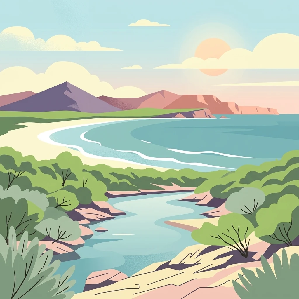
Illustration of a coastal river estuary with sandy beach, turquoise water, mountains, and green vegetation under a partly cloudy sky

Biodiversity hotspot of southwestern Australia with rare flora and whale calving grounds

Fitzgerald River National Park

Fitzgerald River National Park is a vast protected area in the southern Esperance region of Western Australia, approximately 419 kilometres southeast of Perth. Encompassing nearly 3,000 square kilometres of diverse terrain, the park occupies a remarkable position along Australia's southwestern coast, protecting an extraordinary concentration of plant diversity that is unmatched anywhere else on the continent. The park is recognised on Australia's National Heritage List for its outstanding universal values, containing 75 plant species found nowhere else in the world and hosting approximately 20 percent of Western Australia's described plant species despite covering just 0.2 percent of the state's land area. The landscape encompasses rugged mountain ranges, coastal cliffs, estuaries, inland waterways, and extensive heathlands that together form the Fitzgerald Biosphere, an internationally recognised UNESCO Biosphere Reserve.

Location
Australia
Park type
National park
Established
1973
Area
2,972.1 km²
Fitzgerald River National Park Protected Area
Regional park map

See the ranked park cluster in its geographic setting

Nearby parks around Fitzgerald River National Park

This regional map shows the same 20 nearby parks ranked below around Fitzgerald River National Park. Select a ranked marker to highlight that park’s boundary where boundary data is available.
Reference park: Fitzgerald River National ParkRanked nearby parkSelected boundary: Fitzgerald River National Park20 nearby parks shown
20 nearby parks

Explore surrounding regional park geography and measured distance separation across Australia

Ranked Parks and Protected Areas Geographically Near Fitzgerald River National Park

Browse the collection of protected areas ranked by geographic proximity to Fitzgerald River National Park using boundary measurements. Evaluate surrounding landscape patterns and regional environmental context through structured comparison signals.
Marine protected areaWestern Australia
5.5 km away#1 closest

South

Bremer Marine Park: An Offshore Atlas of Western Australia's Protected Marine Geography

Submarine canyon mapping and regional marine environment

Bremer Marine Park protects a vast, complex submarine landscape off the south coast of Western Australia. Dominated by the deep Bremer Canyon system, this protected area serves as a primary hub for studying deep sea geomorphology, coral gardens, and the nutrient-rich upwelling processes that define this unique section of the Southern Ocean.

Area
4,472 km²
Established
2013
IUCN
II
Relief
Mixed relief
Nature reserveWestern Australia
21 km away#2 closest

West

Beringa Reserve Nature Reserve: Western Australia Protected Woodland Geography

Restoration landscapes and riparian corridors near Peniup Creek

Beringa Reserve serves as a significant private nature reserve in Western Australia, focusing on the restoration of eucalyptus woodland and mallee heath. This landscape acts as a functional buffer within the Gondwana Link, protecting riparian vegetation along Peniup Creek and fostering the recovery of native mammal habitats through intensive revegetation efforts.

Area
25.06 km²
Established
2007
Relief
Lowland
Climate
Mediterranean
Nature reserveWestern Australia
32 km away#3 closest

West

Chereninup Creek Reserve: Geographic Identity and Protected Land Context

Explore the landscape and regional geography of this Western Australian nature reserve.

Chereninup Creek Reserve represents a key site within the Gondwana Link initiative of Western Australia. This nature reserve serves as an important ecological connection, featuring a diverse patchwork of eucalypt woodlands and Kwongan heath. Gain insight into its role as a protected area that restores former farmland into a continuous landscape for local flora and fauna.

Area
8.77 km²
Established
2003
Relief
Upland
Scope
Terrestrial
Marine protected areaWestern Australia
52 km away#4 closest

East

South-west Corner Marine Park: An Atlas of Deep-Sea Landscapes and Marine Protected Areas

Western Australia offshore marine and seabed geography

South-west Corner Marine Park represents one of the most ecologically diverse marine reserves in Australian Commonwealth waters. Stretching from the coast of Western Australia into the depths of the Southern Ocean, the park protects unique underwater terrain including extensive reef systems, submarine canyons, and isolated plateaus. This area serves as a primary migratory corridor for whales and provides a vital, mapped environment for threatened shark and seabird populations within the regional marine food web.

Area
271,833 km²
Established
2013
Climate
Temperate
Access
Remote access
Nature reserveWestern Australia
About 69 km away#5 closest

West

Yarrabee Wesfarmers Reserve: Mapping Woodland Conservation and Regional Geography

A vital protected nature reserve in Western Australia

Yarrabee Wesfarmers Reserve forms a significant link in the regional landscape of Western Australia, protecting marri and jarrah woodland adjacent to the Stirling Range. Through ongoing restoration, the area maintains a mosaic of mallee and Banksia habitats, supporting regional species and contributing to broader environmental connectivity.

Area
9.23 km²
Established
2006
Relief
Upland
Climate
Mediterranean
National parkWestern Australia
70 km away#6 closest

Northeast

Frank Hann National Park: Explore Its Protected Area Geography and Mapped Boundaries

Western Australia's protected national park landscape.

Frank Hann National Park is a designated national park providing crucial insight into Western Australia's protected natural landscapes. This entry focuses on its precise geographic scope and mapped boundaries, allowing for detailed atlas-based exploration. Understand the park's identity as a protected area and its position within the broader regional geography of this large Australian state, ideal for focused landscape discovery.

Area
675.5 km²
Established
1970
IUCN
II
Relief
Lowland
Watercolor illustration showing a landscape with mountains, a winding river, and grassy fields.
National parkWestern Australia
70 km away#7 closest

West

Stirling Range National Park: National Park Protected Area and Geographic Mapping

Discover its mapped boundaries and regional landscape context.

Stirling Range National Park is a protected national park in Western Australia, offering critical insights into regional geography and landscape mapping. This page provides structured information on the park's protected area status, its geographic setting, and its value for atlas-based exploration. Understand the extent of its mapped boundaries and discover its unique natural terrain within the broader context of Western Australia's vast geography.

Area
1,159.2 km²
Established
1913
IUCN
II
Relief
Mountain
National parkWestern Australia
75 km away#8 closest

Southwest

Hassell National Park National Park: Mapped Protected Landscape in Western Australia

Explore the geographic identity and park boundaries of Hassell National Park.

Hassell National Park offers a focused view of protected natural landscapes within Western Australia. This atlas entry details the park's specific geographic scope and its designation as a national park, providing essential context for understanding its mapped features and regional landscape. Explore how Hassell National Park contributes to the protected area geography of the state.

Area
12.65 km²
Established
1971
IUCN
II
Scope
Mixed
National parkWestern Australia
85 km away#9 closest

East

Stokes National Park National Park: Mapped Boundaries and Regional Geography

Western Australia's protected landscape identity.

Stokes National Park represents a significant protected entity within the expansive geography of Western Australia. This detailed page provides users with essential mapping information, focusing on the park's designated boundaries and its role within the broader atlas of Australian conservation landscapes. Explore the specific geographic context that defines this national park and understand its natural landscape features.

Area
97.26 km²
Established
1976
IUCN
II
Relief
Lowland
National parkWestern Australia
96 km away#10 closest

Southwest

Waychinicup National Park: National Park Protected Landscape Atlas Entry

Explore Western Australia's mapped natural landscapes and park geography.

Gain a structured understanding of Waychinicup National Park as a key protected landscape within Western Australia. This detailed atlas entry focuses on its geographic distribution and mapped boundaries, providing essential context for regional park and natural landscape exploration. Discover the unique characteristics of this national park's setting and its place within the broader mapped terrain.

Area
39.82 km²
Established
1990
IUCN
II
Relief
Mixed relief
National parkWestern Australia
124 km away#11 closest

Northeast

Peak Charles National Park: A National Park in Western Australia's Mapped Landscape

Discover its protected area status and geographic setting.

Peak Charles National Park is a vital component of Western Australia's protected natural areas. This dedicated page provides an atlas-centric view, focusing on the park's geographic scope, its mapped boundaries, and the surrounding regional landscape context. It serves as an essential resource for understanding the park's protected land identity and its contribution to the broader geography of Western Australia.

Area
399.59 km²
Established
1979
IUCN
II
Relief
Mountain
National parkWestern Australia
126 km away#12 closest

Southwest

Porongurup National Park: Ancient Granite Peaks and Karri Forest Protected Landscape

Mapped terrain and geologic history in Western Australia.

Delve into Porongurup National Park, a protected landscape in Western Australia characterized by its ancient, billion-year-old granite peaks and a rare outlier of towering karri forest. This national park offers a unique geographic perspective, showcasing dramatic mountain terrain that has stood for eons. Explore the mapped boundaries and the distinct ecosystems that thrive within this ancient mountain system, providing rich context for regional atlas discovery and understanding the park's geological significance.

Area
26.21 km²
Established
1971
IUCN
II
Relief
Mountain
National parkWestern Australia
131 km away#13 closest

Southwest

Gull Rock National Park: Protected Landscape and Geographic Atlas Exploration

Discover mapped boundaries and natural terrain in Western Australia.

Gull Rock National Park serves as a key protected area for exploring the geographic diversity of Western Australia. As a national park, it offers a focal point for understanding mapped landscape features, conservation boundaries, and the unique natural terrain of the region. This entry provides essential context for atlas-based discovery of protected lands across Australia.

Area
21.04 km²
Established
2006
IUCN
II
Relief
Lowland
National parkWestern Australia
140 km away#14 closest

Southwest

Torndirrup National Park National Park: Mapped Boundaries and Regional Landscape Context

Explore protected lands within Western Australia's geography.

Torndirrup National Park serves as a significant protected natural area, offering valuable insights into the geographic character of Western Australia. This detailed entry focuses on its mapped boundaries and its role as a protected landscape, providing essential context for atlas-based exploration of Australia's diverse regions and natural terrains.

Area
39.36 km²
Established
1918
IUCN
II
Visitors
250K annual
National parkGreat Southern
160 km away#15 closest

Southwest

Mount Lindesay National Park: Australian National Park Protected Landscape Details

Explore mapped boundaries and regional geographic context in Great Southern.

Gain a structured understanding of Mount Lindesay National Park, a designated national park in Australia's Great Southern region. This detail view focuses on its protected landscape identity, mapped geographic features, and its place within the nation's network of conservation areas. Discover the specific terrain and regional atlas context that makes this park a distinct element of Australia's natural geography.

Area
395.73 km²
Established
2004
IUCN
II
Relief
Mountain
Watercolor illustration of rolling hills, mountains, and a coastal body of water
National parkWestern Australia
168 km away#16 closest

Southwest

West Cape Howe National Park: Western Australia's Southernmost Coastal Protected Landscape

Explore dramatic sea cliffs, ancient karri forests, and Torbay Head.

West Cape Howe National Park offers a distinct protected landscape experience in Western Australia, highlighted by its position at mainland Australia's southernmost point, Torbay Head. This park showcases a rugged 23-kilometer stretch of the Southern Ocean coastline, featuring towering sea cliffs that descend to pristine beaches and rocky shores. Inland, visitors find ancient karri forests and diverse vegetation types, contributing to a rich mosaic of protected habitats. Its geographic significance and unique coastal terrain make it a key destination for understanding regional protected area geography.

Area
36.05 km²
Established
1985
IUCN
II
Relief
Lowland
Nature reserveWestern Australia
175 km away#17 closest

West

Kojonup Reserve: A Protected Wandoo Woodland Refuge in Western Australia

Mapping protected bushland within the Shire of Kojonup

Kojonup Reserve represents an essential conservation landscape in south-west Western Australia, specifically managed to safeguard dwindling wandoo woodland communities. This 389-hectare nature reserve offers a look at native woodland terrain and provides a necessary sanctuary for regional fauna within a predominantly agricultural landscape.

Area
3.89 km²
Established
1996
Relief
Upland
Climate
Mediterranean
National parkGreat Southern
176 km away#18 closest

West

Mount Roe National Park: Detailed Protected Landscape and Geographic Exploration

Mapped boundaries and natural terrain of this national park.

Mount Roe National Park offers a distinct protected landscape for atlas exploration, situated within the geographic scope of the Great Southern region. This detail page provides a structured view of the park's mapped boundaries and its natural terrain. Understand how Mount Roe National Park contributes to the regional geography and the overall map of protected areas in Australia.

Area
1,278 km²
Established
2004
IUCN
II
Scope
Terrestrial
National parkWestern Australia
186 km away#19 closest

East

Cape Le Grand National Park: Western Australia National Park Geographic Context and Landscape Exploration

Mapped protected area boundaries and regional natural terrain discovery.

Cape Le Grand National Park is an important national park in Western Australia, providing a distinct focus for geographic and atlas-based discovery. Understanding its protected landscape identity and its placement within the state's natural geography offers valuable insight into regional conservation areas. This page serves as a canonical entry point for exploring the mapped features and the broader geographic significance of Cape Le Grand National Park, detailed for structured atlas exploration.

Area
318.01 km²
Established
1966
IUCN
II
Relief
Mixed relief
Watercolor illustration of a coastal landscape with green vegetation, pink rock formations, and a calm body of water
National parkWestern Australia
196 km away#20 closest

Southwest

William Bay National Park: Mapped Protected Area in Western Australia's Geography

Explore its national park boundaries and regional landscape context.

Delve into the protected landscape of William Bay National Park, a designated national park situated within the diverse geography of Western Australia. This resource provides critical information on its mapped boundaries and its role as a protected natural area. Understand the park's specific geographic setting and its contribution to the regional atlas of conservation landscapes, essential for detailed park and landscape discovery.

Area
17.34 km²
Established
1971
IUCN
II
Visitors
238K annual
Distance methodology

Geographic measurements, not driving distances

How nearby park distances are calculated

Distances use park boundaries whenever the available geometry allows it. When one or both boundaries are missing, the mapped park locations provide a clearly labelled estimate. Every value represents straight-line geographic separation and does not use roads or routing.

Boundary distance

Calculated between the nearest points of both park boundaries.

Location-to-boundary estimate

Estimated from one mapped park location to the nearest boundary of the other park.

Mapped-location estimate

Estimated between the mapped locations of both parks.

MoriAtlas Explorer

Continue Exploring Fitzgerald River National Park's Geographic and Landscape Context

Delve deeper into the mapped terrain and unique protected landscape of Fitzgerald River National Park, a key site for botanical discovery in Western Australia. Understanding its regional geography and the extent of its protected boundaries provides critical context for appreciating this vital natural asset. Continue your exploration to uncover more about the specific geographic features and ecological importance of this remarkable national park.