
Lakes
Park geography
Structured data on landscape features, terrain points, and regional park geometry
Ichkeul National Park: geography
Location: Tunisia.
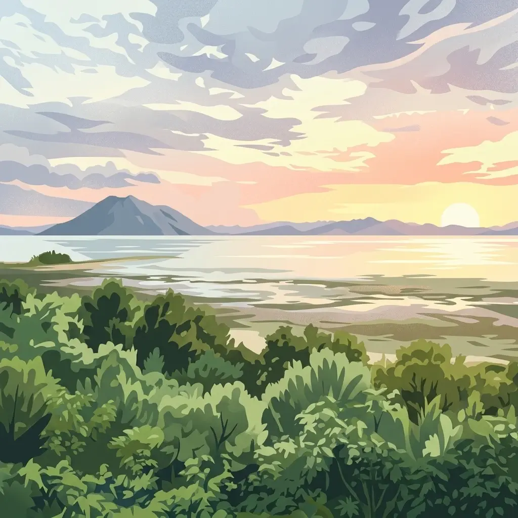
Wetland sanctuary for migratory birds in northern Tunisia
Ichkeul National Park
Ichkeul National Park is a protected wetland area in northern Tunisia centered around Lake Ichkeul, the largest lake in the country and one of the most important wetland ecosystems in North Africa. The park encompasses the lake and its surrounding marshes, forests, and hills, creating a diverse habitat complex that supports exceptional bird populations. Established as a national park in 1980, Ichkeul serves as a critical waypoint for migratory birds traveling between Europe and Africa along the Mediterranean flyway. The park's ecological significance has been recognized internationally through its designation as a Ramsar wetland site and a UNESCO Biosphere Reserve.
- Location
- Tunisia
- Park type
- National park
Location overview
Country-level positioning and administrative records for Tunisian parks
Mapping the Geographic Location of Ichkeul National Park in Tunisia
Ichkeul National Park is positioned within the national territory of Tunisia. Country relationship profiles establish the administrative setting and high-level geographic records for the protected area.
- Countries
- Tunisia
- Primary location
- Tunisia
Boundary and coordinates
Spatial measurements and extent covering 129.611 square kilometers.
Ichkeul National Park Boundary Mapping and Geographic Limits
Mapped spatial outlines clarify the physical footprint and shape of the protected conservation landscape. Accompanying data records supply estimated total area, center coordinates, and spatial spans.
- Boundary area
- 129.6 km²
- Boundary perimeter
- 58 km
- Northernmost point
- 37.2018° N
- Southernmost point
- 37.088° N
- Easternmost point
- 9.7578° E
- Westernmost point
- 9.5612° E
- Geographic centre
- 37.147° N, 9.6602° E
- North–south span
- 12.6 km
- East–west span
- 17.5 km
Terrain and natural features
Recorded peaks, lakes, and streams mapped across protected terrain
Ichkeul National Park Terrain Geography and Named Natural Features
Stored records detail natural features located within Ichkeul National Park, including designated lakes, peaks, and streams. Associated cards display feature names, types, and spatial relationships where documented.
Selected named natural features
Peaks
Jabal Ishkul
511 m
Streams
وادي جومين
Environmental setting
Interpreting stored landscape, habitat, and climatic classifications across the protected terrain
Ichkeul National Park Environmental Setting and Physical Geography
Recorded environmental classifications organize the physical setting of Ichkeul National Park into distinct interpretive categories. Connected database links provide direct navigation to related geographic entries across the broader protected area network.
Park atlas
Trace nearby protected landscapes and wetland ecosystems, comparing the regional park geography surrounding Ichkeul National Park.
Discover Other Protected Areas Near Ichkeul National Park and Surrounding Wetland Geography
Explore additional national parks and protected areas, tracing conservation landscapes geographically connected to Ichkeul National Park. Compare diverse wetland ecosystems, regional park geography, and mapped terrain to understand broader protected-area contexts in North Africa.
National parkBizerte Governorate
About 52 km away#1 closest
West

Jebel Chitana-Cap Négro National Park: National Park Protected Area & Landscape Identity
Explore the mapped geography of Jebel Chitana-Cap Négro National Park.
As a designated national park, Jebel Chitana-Cap Négro National Park represents a key protected area for understanding the regional geography of Bizerte Governorate. This entry provides structured information focused on the park's geographic scope, its mapped boundaries, and its significance as a protected landscape. It is designed for users seeking detailed, atlas-style context on Jebel Chitana-Cap Négro National Park's natural setting and its place within Tunisia's protected lands network.
- Area
- 101.2 km²
- Established
- 2010
- Relief
- Mountain
- Scope
- Terrestrial
National parkTunisia
About 66 km away#2 closest
Southwest
Oued Zeen National Park: Tunisia's National Park Entry for Geographic and Landscape Atlas Exploration
Explore the mapped protected area and regional geography of Oued Zeen National Park.
Oued Zeen National Park is a designated national park in Tunisia, offering a crucial point for geographic exploration within the country's atlas. This page details its protected landscape identity, contributing to a structured understanding of regional natural areas and park boundaries. Users can examine its geographic setting and landscape context to deepen their appreciation of Tunisia's protected lands.
- Area
- 67 km²
- Established
- 2010
- Scope
- Terrestrial
- Water
- Major water bodies
National parkTunisia
About 76 km away#3 closest
Southeast
Boukornine National Park: A Protected Mediterranean Mountain Landscape in Tunisia
Explore its mapped terrain and unique protected ecosystem.
Boukornine National Park in Tunisia represents a significant protected landscape, notable for its central granite peak, Jebel Boukornine, which rises sharply above the surrounding coastal plains. This national park, covering approximately 1,939 hectares, preserves a distinctive Mediterranean mountain ecosystem. Its rugged terrain, rocky slopes, and the presence of Aïn Zargua spring support a unique concentration of species, including notable flora and fauna. Understanding Boukornine National Park provides insight into the regional geography and the importance of conserving these mountainous protected areas within Tunisia.
- Area
- 19.39 km²
- Established
- 1987
- IUCN
- II
- Relief
- Mountain
National parkEl Tarf Province
85 km away#4 closest
West

El Kala National Park
Explore its mapped geography and vital ecosystem context.
El Kala National Park, in El Taref Province, Algeria. Landscapes: hills, forests, and wetlands.
- Area
- 764 km²
- Established
- 1993
- IUCN
- II
- Visitors
- 30K annual

National parkJendouba Governorate
About 91 km away#5 closest
Southwest
El Feidja National Park: National Park Mapping and Protected Landscape Discovery
Explore geographic context within Jendouba Governorate.
Gain a clear understanding of El Feidja National Park's protected status and its geographic footprint. This page offers detailed insights into the park's mapped boundaries and landscape characteristics, situated within the Jendouba Governorate. It serves as a primary resource for atlas exploration, highlighting the natural terrain and regional significance of this Tunisian national park.
- Area
- 27.65 km²
- Established
- 1990
- IUCN
- II
- Relief
- Mountain
National parkTunisia
About 93 km away#6 closest
East
Zembra National Park: A Protected Island Landscape in Tunisia's Mediterranean Waters
Explore its unique geography and mapped protected area boundaries.
Zembra National Park safeguards a rugged, mountainous island environment characterized by dramatic limestone cliffs plunging into the Mediterranean Sea. This national park is renowned for its exceptional avian populations, including the endangered Eleonora's falcon, and its preserved Mediterranean maquis ecosystem, supporting endemic plant species. The park's geographic isolation contributes to its status as a significant biodiversity hotspot, offering a distinct lens for understanding island ecosystems and conservation efforts within the broader Tunisian geography.
- IUCN
- II

National parkTunisia
About 128 km away#7 closest
South
Jebel Serj National Park: Central Tunisia's Distinctive Mountain Protected Area
Explore its terrain and protected landscape context.
Jebel Serj National Park, established in 2010, safeguards a significant mountainous territory in central Tunisia, distinguishing itself from the broader semi-arid plains. This protected landscape showcases the Djebel Serj massif, a unique topographical feature that serves as an ecological bridge between Tunisia's northern and southern regions. Users exploring this page can gain an atlas-level understanding of the park's mapped boundaries, its geological character, and its contribution to the conservation of representative natural diversity within North Africa's transitional ecosystems.
- Area
- 17.2 km²
- Established
- 2010
- IUCN
- II
- Scope
- Terrestrial
National parkItaly
197 km away#8 closest
East

Pantelleria National Park: A Protected Landscape within Italy's Atlas
Mapped boundaries and regional geographic context.
Pantelleria National Park is a designated national park in Italy offering a distinct protected landscape for exploration. This page provides essential geographic context, highlighting the park's mapped boundaries and its significance within the regional atlas. Understand the terrain and protected land features that define this important natural area.
- Area
- 66.4 km²
- Established
- 2016
- IUCN
- II
- Relief
- Highland
MoriAtlas Explorer
Ichkeul National Park
Explore the map, landscapes, and protection details for Ichkeul National Park.
Browse next
Global natural geography
Explore related park routes
Explore MoriAtlas Global ParksBrowse All MoriAtlas ParksGlobal Park Map DiscoveryMoriAtlas: Browse All CountriesBrowse All MoriAtlas ContinentsNational Park Environment AtlasGrand Canyon National Park AtlasYellowstone National Park AtlasYosemite National Park Atlas and GeographySerengeti National Park AtlasGalápagos National Park Protected LandscapeBanff National Park Geography and AtlasKruger National Park Atlas EntryExplore Uluru-Kata Tjuta National Park GeographyPlitvice Lakes National Park AtlasFiordland National Park Protected LandscapeGreat Smoky Mountains National Park AtlasZion National Park Protected Landscape AtlasAfghanistan National Parks and Protected AreasAlbania National Parks and Protected AreasAlgeria National Parks and Protected AreasAmerican Samoa National Parks and Protected AreasAndorra National Parks and Protected AreasAngola National Parks and Protected AreasAntarctica National Parks and Protected AreasAntigua and Barbuda Park List