Mori Atlas logo
Nearby park discovery

Geographic landscape context and regional distribution of surrounding protected lands

Parks and Protected Natural Areas Situated Near Osceola National Forest in Florida

Examine the geographic distribution of protected lands and natural areas located within the vicinity of Osceola National Forest in northern Florida. This regional atlas view provides a clear perspective on the spatial relationship between surrounding forest ecosystems, wilderness areas, and preserved landscapes across the coastal plain.

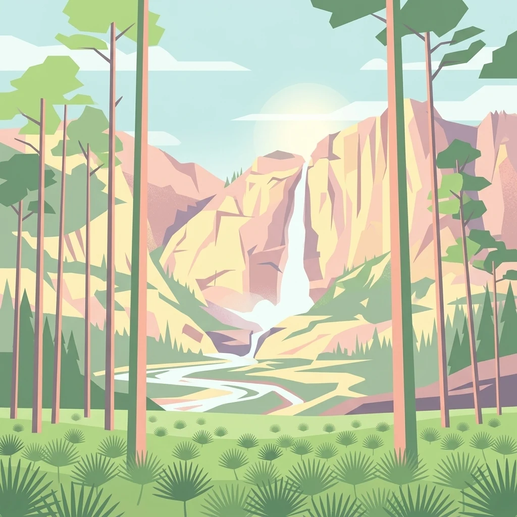
A graphic illustration showing tall pine trees in the foreground with a waterfall cascading down rocky cliffs in the background.

Pine flatwoods and cypress swamps of northeast Florida, named for the Seminole warrior Osceola.

Osceola National Forest

Osceola National Forest is a large national forest in northeastern Florida, located roughly 50 miles west of Jacksonville. The forest is named in honor of the Seminole warrior Osceola and occupies parts of Columbia, Baker, Bradford, and Hamilton counties. The landscape is dominated by pine flatwoods and cypress-hardwood swamps, a classic mosaic of the North Florida coastal plain. Beyond its ecological character, the forest carries historical layers: Indigenous presence long before European settlement, an American Civil War battlefield at Olustee within its bounds, and a long history of wildfire management that continues to shape the forest today. Osceola is managed by the U.S. Forest Service, with administrative headquarters in Tallahassee and a ranger district office in the small community of Olustee. It supports recreational activities such as hiking, horseback riding, hunting, and fishing, and is traversed by a long section of the Florida National Scenic Trail.

Location
United States of America
Park type
Protected landscape
Established
1931
Area
772.7 km²
Highest point
60 m
Osceola National Forest Protected Area Map
Regional park map

See the ranked park cluster in its geographic setting

Nearby parks around Osceola National Forest

This regional map shows the same 20 nearby parks ranked below around Osceola National Forest. Select a ranked marker to highlight that park’s boundary where boundary data is available.
Reference park: Osceola National ForestRanked nearby parkSelected boundary: Osceola National Forest20 nearby parks shown
20 nearby parks

Distance-ranked regional park geography and surrounding protected landscapes

Parks and Protected Areas Geographically Near Osceola National Forest

Examine the ranked collection of protected areas situated geographically near Osceola National Forest to evaluate spatial separation and regional proximity. Compare recorded environmental characteristics and country context to understand broader protected-landscape patterns across the surrounding terrain.
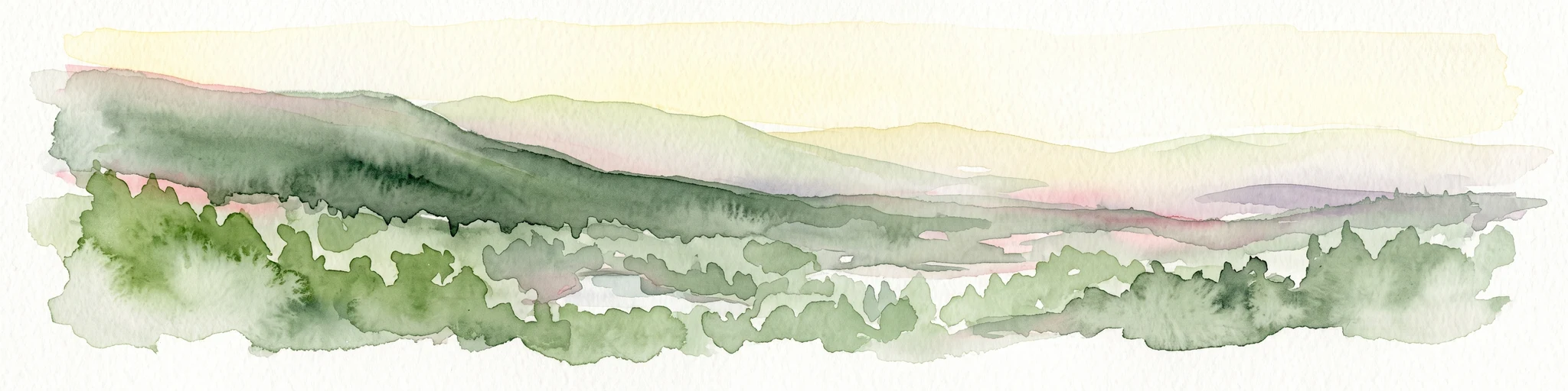
A horizontal watercolor painting depicting a soft-toned, light-filled forest landscape with a calm body of water in the foreground and rolling treed hills in the background.
Protected landscapeFlorida
39 km away#1 closest

South

Ocala National Forest: A Comprehensive Look at Florida's Largest National Forest Landscape

Protected scrub ecosystems and hydric river networks

Explore the geographic expanse of Ocala National Forest, the oldest national forest east of the Mississippi. This protected area features the vast Big Scrub, a unique sand pine ecosystem that anchors a diverse terrain of longleaf pine, blackwater rivers, and crystal-clear springs across multiple Florida counties.

Area
1,741.96 km²
Established
1908
Relief
Lowland
Climate
Subtropical
Nature reserveFlorida
About 71 km away#2 closest

East

Guana Tolomato Matanzas National Estuarine Research Reserve: Florida Nature Reserve Atlas

Protected estuarine geography and coastal river convergence

Discover the geographic complexity of this research-driven protected area, where freshwater and saltwater environments converge along the Florida coastline. The reserve features an intricate network of tidal creeks, pine flatwoods, and coastal dunes, providing a unique look into the regional ecology of the Carolinian marine bioregion and its significant role in maritime conservation science.

Area
296.46 km²
Established
1999
IUCN
IV
Relief
Lowland
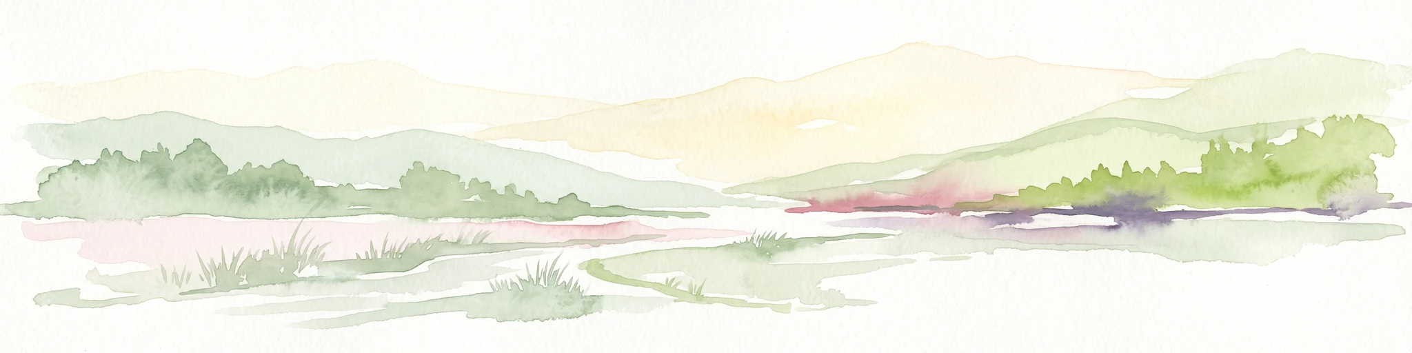
A pale watercolor landscape painting featuring silhouetted dead trees against a soft, light-colored prairie background.
Wildlife reserveMarion County
72 km away#3 closest

Southeast

Juniper Prairie Wilderness: Wildlife Reserve Geography and Mapped Protected Landscapes

Central Florida ecological preserve in Marion County

Covering over 13,000 acres, Juniper Prairie Wilderness preserves a transition of ecosystems from dry pine scrub to wet sawgrass flats. This wildlife reserve in Marion County provides essential protection for the Juniper River drainage basin and its first-magnitude springs, offering a dense study of central Florida natural history and terrain.

Area
54 km²
Established
1984
IUCN
Ib
Relief
Lowland
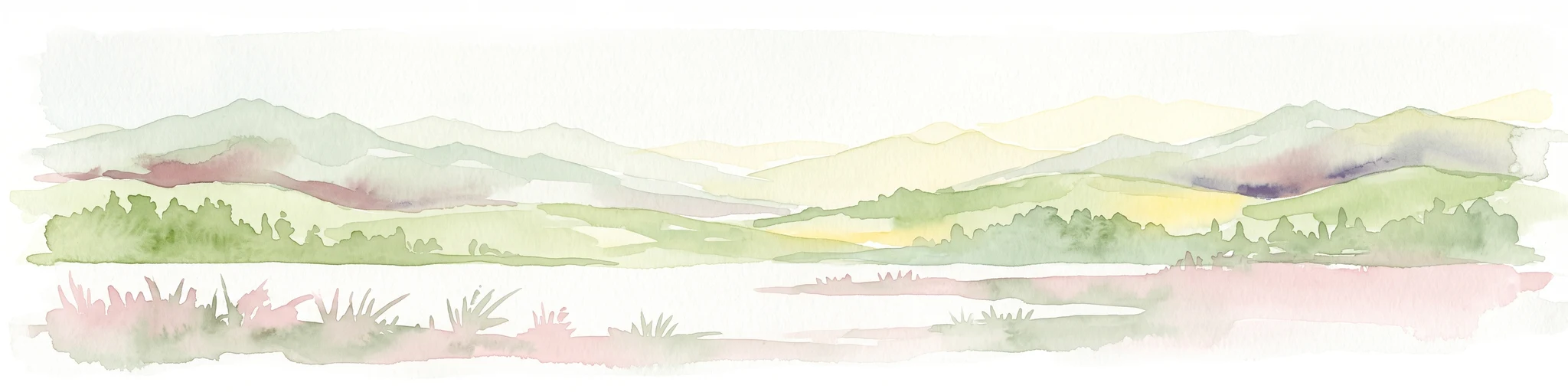
A soft watercolor painting of a coastal scene with sandy dunes, pine trees, and palmetto bushes against a pale, warm-toned sky.
Protected areaGeorgia
75 km away#4 closest

Northeast

Cumberland Island National Seashore: Protected Barrier Island Geography and Mapping

A wild coastal landscape on the southeastern Georgia shoreline

Cumberland Island National Seashore stands as a significant protected area on the Atlantic coast, defined by its lack of paved roads and vehicle-free status. The geography spans a complex array of habitats, including maritime forests, tidal creeks, and salt marshes, anchored by historic estates. This protected landscape represents an essential case study in coastal barrier island ecology and preserved historic environments.

Area
147.368 km²
Established
1972
IUCN
II
Visitors
60.3K annual
Marine protected areaGeorgia
163 km away#5 closest

Northeast

Gray's Reef National Marine Sanctuary: Continental Shelf Geography and Reef Mapping

Submerged sandstone ridges and Atlantic marine habitat

Gray's Reef National Marine Sanctuary protects one of the largest near-shore live-bottom reefs in the southeastern United States. This submerged landscape consists of sandstone ledges rising above the sandy seafloor, fostering a unique three-dimensional habitat that supports a diverse range of marine invertebrates and fish species across its 22-square-mile protected boundary.

Area
57 km²
Established
1981
IUCN
IV
Relief
Lowland
A minimalist watercolor illustration showing green rolling hills and a shoreline against a pale background, representing the natural coastal landscape.
Protected landscapeFlorida
About 171 km away#6 closest

Southeast

Canaveral National Seashore Protected Landscape and Barrier Island Geography

Coastal ecosystems of the Florida Atlantic shore

Canaveral National Seashore stands as a significant protected landscape on the Florida coast, offering a cross section of barrier island geography. This protected area connects the dynamic Atlantic oceanfront with the calm, biodiverse waters of the Mosquito Lagoon, forming a vital refuge of dunes, maritime hammocks, and estuarine wetlands.

Area
233.35 km²
Established
1975
IUCN
V
Visitors
2.5M annual
Watercolor painting of a meandering river flowing through a green marshland with rolling hills in the background under a pale sky.
Nature reserveFlorida
About 194 km away#7 closest

West

Apalachicola National Estuarine Research Reserve: Florida Protected Estuary and Coastal Geography

Exploring the tidal marshes and benthic habitats of Florida's Gulf Coast.

Apalachicola National Estuarine Research Reserve offers a deep look into the coastal geography of the Florida panhandle. As a protected area, it manages the complex intersection of estuarine food chains, commercial fishing zones, and vital wetland habitats, utilizing advanced GIS capabilities to map the bay's submerged reefs and tidal channels.

Relief
Lowland
Climate
Subtropical
Scope
Marine
Water
Water-dominated
A minimalist watercolor painting showing a vast coastal marshland with meandering tidal creeks and green islands under a bright, open sky.
Nature reserveSouth Carolina
About 280 km away#8 closest

Northeast

Ashepoo Combahee Edisto Basin National Estuarine Research Reserve: Mapped Protected Area

Coastal river convergence and tidal marsh geography

Spanning 140,000 acres of the South Carolina Lowcountry, this estuarine reserve protects a unique intersection of blackwater river systems and Atlantic coastal marshlands. The area provides a vital habitat for various species, where historic plantation lands, cypress swamps, and productive salt marshes form one of the largest undeveloped estuarine complexes on the United States eastern seaboard.

Area
570 km²
Relief
Lowland
Climate
Subtropical
Access
Access unknown
A watercolor illustration of a coastal landscape with a sandy shoreline, soft green dunes, and a gentle pink horizon against a white background.
Protected landscapeFlorida
325 km away#9 closest

West

Gulf Islands National Seashore: Mapped Landscapes and Protected Coastal Geography

Coastal terrain across Florida, Alabama, and Mississippi.

Spanning diverse units across the Gulf Coast, Gulf Islands National Seashore preserves dynamic barrier islands and mainland reserves. This geographic profile traces the quartz-sand beaches, maritime ecosystems, and historic defense networks that form this protected landscape, providing context on its unique geologic and environmental evolution.

Area
548.179 km²
Established
1971
IUCN
V
Visitors
8.3M annual
Protected landscapeMacon County
About 326 km away#10 closest

Northwest

Tuskegee National Forest: A Protected Landscape in Macon County, Alabama

Mapped geography and forest terrain in the American South

Tuskegee National Forest represents a concentrated pocket of protected land in Macon County, Alabama. As the smallest national forest in the country, it provides a dense network of trails and stream terraces that demonstrate how compact forests sustain regional biodiversity and outdoor recreation.

Area
45.54 km²
Established
1959
Relief
Upland
Climate
Subtropical
Protected landscapeSouth Carolina
333 km away#11 closest

North

Sumter National Forest: Mapping Protected Landscapes and Terrain in South Carolina

Bridging Piedmont forests and Appalachian mountain foothills

Sumter National Forest offers a study in geographic contrast, as its three districts span the transition from South Carolina Piedmont ridges to the rugged spurs of the Blue Ridge Mountains. This protected area features the Chattooga Wild and Scenic River corridor, expansive hardwood-conifer mosaics, and complex mountain watersheds. The forest provides a window into regional land restoration, where reclaimed farmland and mountain ridges now form a continuous network of protected natural terrain.

Area
1,500.98 km²
Established
1936
Relief
Mixed relief
Climate
Temperate
National parkSouth Carolina
383 km away#12 closest

North

Congaree National Park: A Protected National Park in South Carolina's Geographic Landscape

Explore mapped boundaries and regional park geography.

Congaree National Park represents a vital protected national park entity within South Carolina, offering rich opportunities for geographic discovery and landscape exploration. Its designation as a National Park underscores its importance in mapping protected areas and understanding regional terrain. This entry provides essential context for exploring the park's specific geographic features and its position within the broader atlas of conservation landscapes.

Area
108.021 km²
Established
2003
IUCN
Ib
Visitors
287.8K annual
A pale, soft-focus watercolor painting showing a river with gentle banks and distant hills, with tree branches hanging in the top right corner.
Protected landscapeGeorgia
400 km away#13 closest

Northwest

Chattahoochee River National Recreation Area: Protected Landscape Map and Regional Geography

River corridors, Piedmont forest, and historic tributary gorges

This protected landscape in northern Georgia preserves a vital 48-mile corridor along the Chattahoochee River. The terrain shifts from vertical palisade cliffs to wide shoals and forested tributary gorges, weaving through the metropolitan landscape of Atlanta. The area serves as a significant regional anchor for natural river ecosystems and historic industrial remnants.

Area
42.69 km²
Established
1978
IUCN
V
Visitors
3.5M annual
Watercolor illustration depicting a panoramic view of a coastal estuary with green mangrove islands, tidal channels, and a soft pink sunset sky.
Marine protected areaFlorida
About 429 km away#14 closest

South

Rookery Bay National Estuarine Research Reserve: Coastal Geography and Protected Estuarine Waters

Subtropical mangrove landscapes within the Florida Gulf Coast region.

This marine protected area encompasses a vast sweep of sheltered coastal waters and tidal forests at the northern edge of the Ten Thousand Islands. The reserve stands as a prime example of an undisturbed subtropical estuary, characterized by continuous mangrove shorelines and intricate hydrologic networks that provide critical habitat for numerous estuarine dependent species.

Area
445.15 km²
Established
1980
Relief
Lowland
Climate
Subtropical
Protected landscapeAlabama
About 439 km away#15 closest

Northwest

Talladega National Forest: Geography and Protected Appalachian Forest Maps

Mapping Alabama high country and southern Appalachian forest recovery

Talladega National Forest is a primary protected landscape in Alabama, offering a detailed look at the transition from central pine-oak ridges to northeastern mixed mesophytic hardwood slopes. This forest manages a diverse range of terrain, including the highest peaks in the state, and represents a major achievement in regional ecological restoration across hundreds of thousands of acres of federally protected land.

Area
1,588.66 km²
Established
1936
Relief
Mixed relief
Climate
Temperate
National parkFlorida
440 km away#16 closest

South

Everglades National Park: Protected Landscape Identity and Regional Geographic Context

Explore its unique natural terrain and mapped boundaries.

Understand Everglades National Park as a distinct protected landscape with significant geographic features within Florida. This page offers an atlas-driven view of its protected area, detailing its mapped boundaries and the surrounding regional natural terrain. Discover the core identity of this national park through its landscape and geographic setting, providing context for broader atlas exploration.

Area
6,106.61 km²
Established
1947
IUCN
II
Visitors
1.2M annual
Watercolor painting of a mountain landscape with soft layers of green hills, trees, and a foreground area, rendered in a pale and minimalist style.
Wildlife reserveAlabama
444 km away#17 closest

Northwest

Dugger Mountain Wilderness: Mapping Alabama's Appalachian Ridge and Forest Landscapes

Protected mountain terrain and regional Appalachian geography

Dugger Mountain Wilderness acts as a primary anchor for ecological preservation in Alabama. This wildlife reserve preserves over 9,000 acres of steep, roadless ridges near the Appalachian margin. By studying the topographic boundaries and forest cover of this area, observers can better understand the regional mountain characteristics and the critical role this terrain plays in maintaining intact, uninterrupted natural corridors.

Area
37 km²
Established
2000
IUCN
Ib
Relief
Mountain
National parkBahamas
About 457 km away#18 closest

Southeast

Walker's Cay National Park: Bahamas National Park Featuring a Premier Barrier Reef Ecosystem

Explore mapped underwater geography and marine protected boundaries.

Walker's Cay National Park is a vital marine protected area located in the Bahamas, safeguarding approximately 3,840 acres of coastal and ocean waters. Its most distinguishing feature is the expansive barrier reef, a complex underwater geography teeming with diverse marine species that draws attention for diving and snorkeling. This park serves as a crucial element within the atlas of Bahamian protected lands, offering structured insights into marine conservation and the mapped distribution of critical reef habitats.

Area
16 km²
Established
2002
IUCN
II
Relief
Lowland
A pale, minimalist watercolor painting showing layers of soft green hills and a gentle stream against a white background.
Wildlife reserveGeorgia
467 km away#19 closest

North

Raven Cliffs Wilderness: Exploring the Appalachian Ridges and Protected Forest Landscapes

High-elevation wilderness area in northern Georgia.

Spanning steep ridges and narrow valleys, Raven Cliffs Wilderness represents a significant protected area within the Chattahoochee National Forest. The landscape transitions from high, exposed ridgelines to dense hardwood forest, offering a compact yet varied study in Appalachian mountain geography.

Area
36.89 km²
Established
1986
IUCN
Ib
Relief
Mountain
A soft watercolor illustration depicting a landscape of rolling hills and mountain silhouettes in shades of green, yellow, and faint red against a white background.
Protected landscapeGeorgia
About 473 km away#20 closest

North

Ed Jenkins National Recreation Area and Southern Appalachian Mountain Geography

Protected forested ridges and trail gateway in northern Georgia

Covering over 23,000 acres, this protected area features the iconic southern terminus of the Appalachian Trail at Springer Mountain. The unit preserves a dense tapestry of hardwood forests, rolling ridges, and spring-fed stream valleys, representing a core portion of the Blue Ridge mountain range's continuous landscape in northern Georgia.

Area
94.4 km²
Established
1991
Relief
Mountain
Climate
Temperate
Distance methodology

Geographic measurements, not driving distances

How nearby park distances are calculated

Distances use park boundaries whenever the available geometry allows it. When one or both boundaries are missing, the mapped park locations provide a clearly labelled estimate. Every value represents straight-line geographic separation and does not use roads or routing.

Boundary distance

Calculated between the nearest points of both park boundaries.

Location-to-boundary estimate

Estimated from one mapped park location to the nearest boundary of the other park.

Mapped-location estimate

Estimated between the mapped locations of both parks.

MoriAtlas Explorer

Continue Exploring the Protected Landscapes and Geography of Osceola National Forest

Access the full geographic profile of Osceola National Forest to understand its role in Florida's protected land system. MoriAtlas provides detailed context on the forest's pine flatwoods, swamp ecosystems, and historical wilderness boundaries for deeper terrain exploration.