Mori Atlas logo
Park earthquake history

Examine documented seismic event records mapped by proximity to high Andean mountain terrain.

Historical Catalogue of Recorded Earthquakes Associated with San Guillermo National Park

Review a structured compilation of historical earthquake records identified within proximity to the rugged Andean landscape of San Guillermo National Park. This catalogue provides transparent access to recorded seismic events by including data points such as event magnitude, depth, and calculated epicentre distance from the park boundaries. These records offer geographic and historical context for seismic activity across the surrounding San Juan Province high-altitude environment.

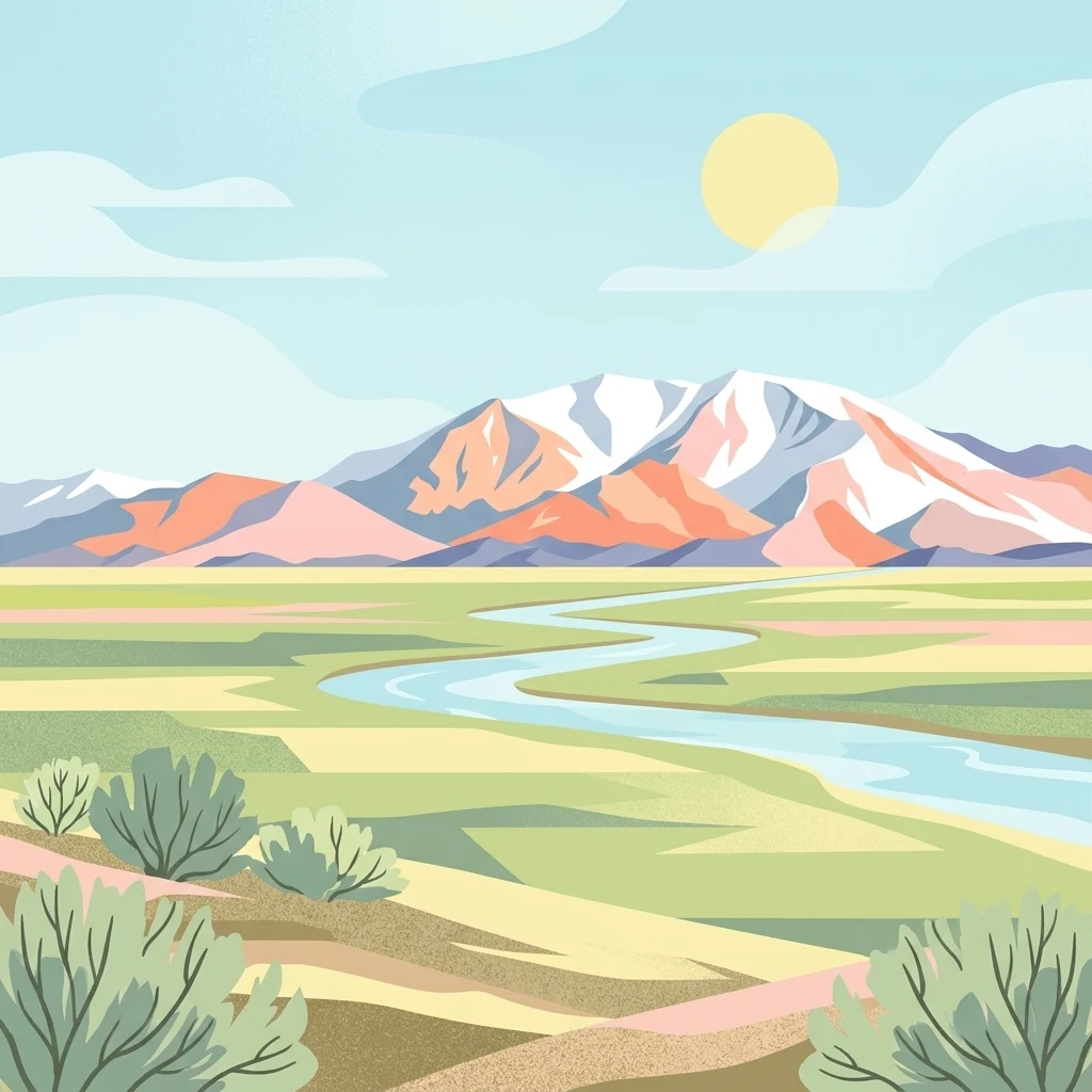
Illustration showing mountains, river, and plains with vegetation

High-altitude Andean wilderness protecting the vicuña in San Juan Province

San Guillermo National Park

San Guillermo National Park is a protected wilderness area in the northern highlands of San Juan Province, Argentina, within the Iglesia Department near the town of Rodeo. Established in 1998 as part of the larger San Guillermo Biosphere Reserve, the park encompasses 166,000 hectares of rugged Andean terrain spanning elevations from 2,100 to 6,380 metres. The landscape consists of arid mountain ranges, puna grasslands, and scattered wetlands set within the high, dry Andes. The park serves as a critical refuge for vicuñas, whose preservation was the primary motivation for establishing the biosphere reserve. Beyond vicuñas, the ecosystem supports guanacos, culpeo foxes, Andean mountain cats, cougars, and the iconic Andean condor, creating a remarkable high-altitude biodiversity zone in South America.

Location
Argentina
Park type
National park
Established
1998
Area
1,660 km²
San Guillermo National Park Map & Atlas

Explore San Guillermo National Park records by depth and distance

Search historical earthquakes in the area near San Guillermo National Park

Historical earthquakes near San Guillermo National Park are organised using their mapped epicentres and distance from the park, not claimed as events within it. Search dates, magnitudes, depths, location descriptions, distance figures, and supporting records without inferring seismic causes from highland or park features, declaring current danger, or forecasting activity.

Sort by
Magnitude
Location

This page describes catalogued earthquakes associated with the park by epicentre location and distance. It does not establish causation, assess current danger, or predict future earthquakes.

No earthquake records match the current filters

Park atlas

Go beyond San Guillermo National Park earthquake observations

Explore additional parks after San Guillermo National Park

The San Guillermo National Park earthquake observations are followed by an independent range of protected destinations. Those choices do not assert common highland landscapes, national park status, wildlife, geology, seismic history, proximity, hazards, risk, or uniform evidence quality.
National parkLa Rioja Province
87 km away#1 closest

East

Talampaya National Park: Argentinian National Park with Dramatic Desert Canyons

Explore protected landscape and mapped geography in La Rioja Province.

Talampaya National Park, a significant national park in Argentina's La Rioja Province, offers a profound exploration of a dramatic desert canyon environment. This protected area is renowned for its rich paleontological sites, yielding crucial dinosaur fossils, and for its well-preserved indigenous petroglyphs carved into ancient rock formations. Understanding Talampaya National Park provides vital context for the region's geography and its place within Argentinian protected lands and mapped natural landscapes.

Area
2,150 km²
Established
1997
IUCN
II
Relief
Mountain
A watercolor painting showing a panoramic view of rolling hills with soft green, yellow, and pink hues on a white background.
State or regional parkSan Juan Province
About 128 km away#2 closest

Southeast

Ischigualasto Provincial Park: A Detailed Atlas of Argentina's Triassic Fossil Landscapes

Geological mapping of wind-eroded badlands in San Juan Province

Ischigualasto Provincial Park is a globally significant protected area that offers a rare view into the Late Triassic period. Known as the Valley of the Moon, its arid desert basin and exposed rock sequences document the emergence of the first dinosaurs. This destination provides an intensive look at how extreme aridity and constant winds have sculpted a distinctive, colorful badlands landscape in the foothills of the Central Sierras.

Area
603.7 km²
Established
1971
Relief
Upland
Climate
Arid
National parkAtacama Region
163 km away#3 closest

North

Nevado Tres Cruces National Park: National Park in Atacama Region's Mapped Geography

Explore protected landscapes and regional park context.

Nevado Tres Cruces National Park is a significant protected national park situated within the Atacama Region of Chile. This entry provides essential geographic context, detailing the park's mapped boundaries and its contribution to the region's conservation landscape. Understand its place within the broader atlas of protected areas, focusing on the natural terrain and the distinct geography that characterize this important national park.

Area
591 km²
IUCN
II
Relief
Mountain
Climate
Alpine
National parkAtacama Region
169 km away#4 closest

Northwest

Llanos de Challe National Park: Unique Coastal Desert and Lomas Ecosystem

Atacama Region National Park with Dramatic Terrain and Wildlife

Llanos de Challe National Park presents a rare protected coastal desert environment within the Atacama Region. Its unique lomas ecosystem, sustained by coastal fog, supports a surprising diversity of life. The park encompasses striking geographic features, from unspoiled white-sand beaches to rugged mountainous terrain, offering a clear example of a vital protected landscape with significant guanaco populations and unique flora, all mapped within its regional context.

IUCN
II
Relief
Mixed relief
Climate
Arid
Scope
Mixed
National parkArgentina
239 km away#5 closest

South

El Leoncito National Park: High-Altitude Andean Puna and Steppe Protected Landscape

Explore mapped boundaries and unique geographic context in San Juan Province.

El Leoncito National Park in Argentina's San Juan Province preserves critical high-altitude ecosystems, including the Central Andean Puna and Southern Andean steppe. This protected landscape spans dramatic mountain terrain, with elevations reaching over 6,000 meters, providing a unique geographic setting. The park's conservation value is underscored by its representative ecological samples and stark natural beauty, offering a distinct regional geography for exploration.

Area
897.06 km²
Established
2002
IUCN
II
Relief
Mountain
Watercolor illustration of a river winding through a valley with rolling hills and green vegetation in the foreground.
National parkCoquimbo Region
253 km away#6 closest

Southwest

Bosque de Fray Jorge National Park: National Park Protected Landscape & Geographic Atlas

Explore mapped boundaries and regional natural landscape context.

Bosque de Fray Jorge National Park is a key protected area offering unique insights into Chile's natural landscapes. This entry provides detailed geographic context, focusing on its status as a national park and its mapped boundaries within the Coquimbo Region. Discover its place in the regional atlas and understand its protected landscape identity for focused geographic exploration.

Area
100 km²
Established
1941
IUCN
II
Visitors
13.1K annual
National parkChile
323 km away#7 closest

North

Pan de Azúcar National Park: Chile's Protected Natural Landscape and Atlas Context

Discover mapped boundaries and regional geography for this national park.

Pan de Azúcar National Park is a protected area situated within Chile's diverse geography. This page provides detailed information on its status as a national park, focusing on its mapped boundaries and its contribution to the regional landscape context. Users can explore its geographic significance and understand its place within the broader atlas of protected areas.

Area
437.54 km²
Established
1985
IUCN
II
Relief
Mixed relief
National parkTucumán Province
350 km away#8 closest

Northeast

Aconquija National Park: Southern Andean Yungas Protected Landscape in Tucumán Province

Explore its montane forest and mapped geographic context.

Aconquija National Park is a significant federal protected area located in Tucumán Province, Argentina. This national park is dedicated to conserving the diverse Southern Andean Yungas montane forest ecosystem, characterized by a dramatic elevational gradient. Its landscapes transition from cloud forest to high alpine terrain, offering a unique opportunity to study and appreciate a well-preserved montane environment within a critical geographic region. Discover the mapped extent and ecological importance of this protected area.

Area
700 km²
Established
1995
IUCN
II
Relief
Mountain
MoriAtlas Explorer

Continue Exploring San Guillermo National Park's Geography and Protected Land

Delve deeper into the atlas context of San Guillermo National Park to understand its mapped boundaries and unique Andean landscape. By examining its protected terrain and regional geography, you can build a comprehensive understanding of this significant national park's ecological significance and its role in wildlife conservation. This exploration provides valuable insight for structured geographic discovery.