Mori Atlas logo
Nearby park discovery

Map the geographic proximity of protected reserves and montane landscapes in Coahuila

Regional Protected Areas and Surrounding Natural Landscapes Near Serranía de Zapalinamé

View the geographic context of protected lands surrounding the mountain range of Serranía de Zapalinamé. This mapping of regional conservation areas illustrates the distribution of adjacent ecosystems, from high-altitude montane forests to arid desert plains, providing a clear overview of the protected landscape framework across this part of northern Mexico.

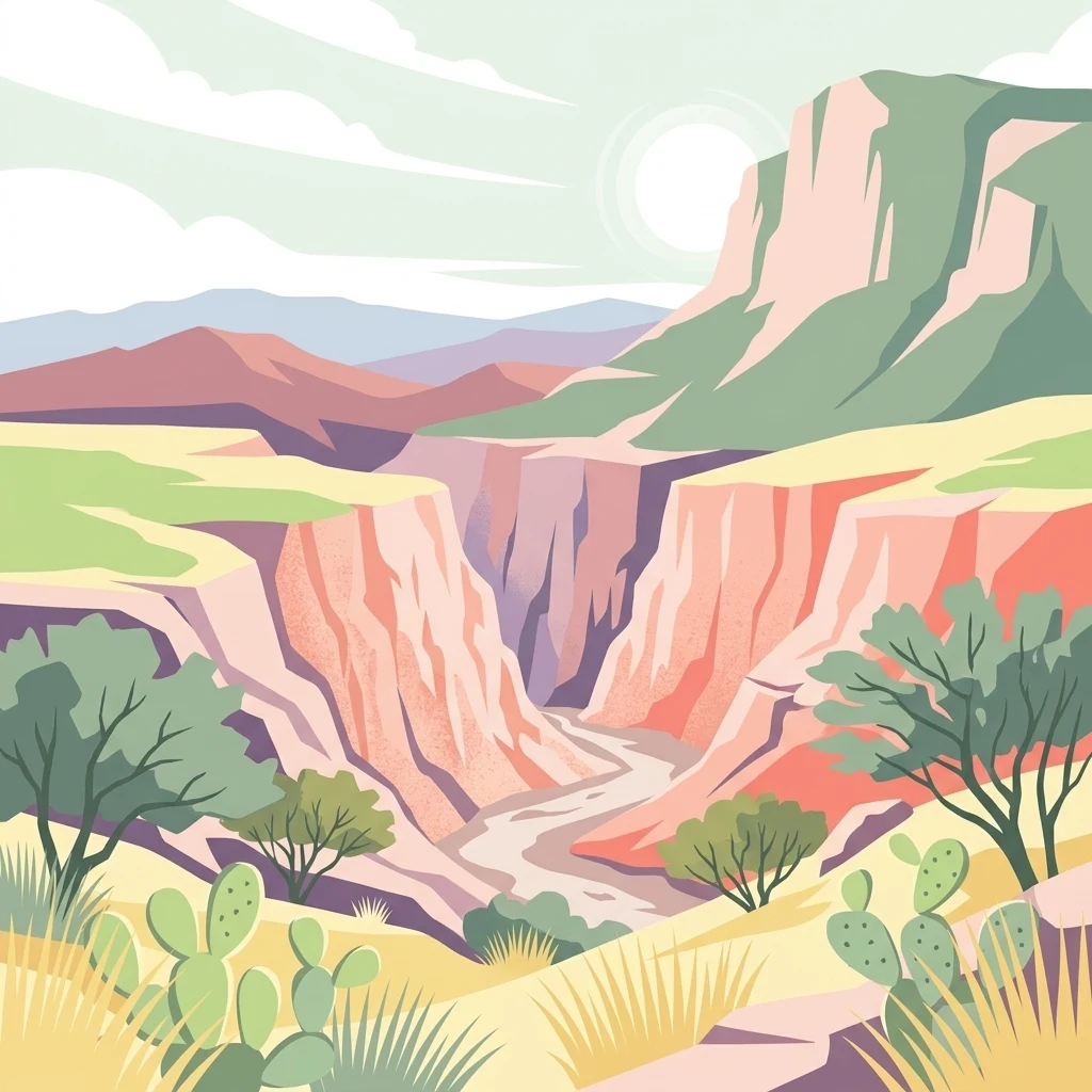
A digital illustration of a desert canyon landscape with rocky cliffs, sparse trees, and cacti in the foreground under a pale sky.

A pine-clad Sierra Madre Oriental frontier above Saltillo, where Chihuahuan desert meets high-elevation forest.

Serranía de Zapalinamé

The Serranía de Zapalinamé is a protected mountain range in northeastern Mexico, rising just south of the city of Saltillo in the state of Coahuila. It forms a westward extension of the Sierra Madre Oriental, where the folded ridges and peaks of the great eastern cordillera give way to the interior highlands of northern Mexico. The range marks an important ecological frontier, separating the Chihuahuan Desert plains to the west from the pine and oak forests climbing toward the summits of the eastern Sierra Madre. Beyond its geographic position, the Serranía is recognized for its role in supplying and protecting water for downstream communities. Its forests capture rainfall, recharge aquifers, and feed springs at the base of the mountains, making the range a vital natural infrastructure for Saltillo and surrounding settlements. In 1996 the state of Coahuila designated it an ecological conservation area, and in 2017 it was reclassified as a State Natural Reserve, reflecting its significance for biodiversity, watershed protection, and landscape conservation. The protected area encompasses diverse ecosystems within a relatively compact footprint, including Chihuahuan desert scrub, submontane shrubland, montane forest, native grasslands, and riparian vegetation along rivers and springs. This ecological mosaic supports a rich mix of plant and animal life, including endemic fish, endangered black bears, and rare birds such as the endangered Maroon-fronted Parrot.

Location
Mexico
Park type
Protected area
Established
1996
Area
253.7 km²
Highest point
3,150 m
Serranía de Zapalinamé Protected Area
Regional park map

See the ranked park cluster in its geographic setting

Nearby parks around Serranía de Zapalinamé

This regional map shows the same 20 nearby parks ranked below around Serranía de Zapalinamé. Select a ranked marker to highlight that park’s boundary where boundary data is available.
Reference park: Serranía de ZapalinaméRanked nearby park20 nearby parks shown
20 nearby parks

Ranked distance relationships and regional conservation geography surrounding the protected range

Parks and Protected Areas Geographically Near Serranía de Zapalinamé

Examine the ranked collection of nearby protected areas measured outward from Serranía de Zapalinamé to understand regional spatial patterns. Compare recorded environmental characteristics across surrounding landscapes to evaluate broader conservation contexts in northern Mexico.
Protected areaCoahuila
About 46 km away#1 closest

East

Cuenca Alimentadora del Distrito Nacional de Riego 026 Bajo Rio San Juan Protected Landscape

Mountain watershed and forest habitat in Coahuila

An expansive protected area encompassing the upper catchments of the San Juan River. The terrain features a significant altitudinal gradient, ranging from semi-arid matorral shrublands to rare high-altitude conifer groves including Mexican Douglas-fir, defining the regional water supply landscape.

Area
1,971.57 km²
Established
1949
IUCN
VI
Relief
Mountain
National parkMexico
About 64 km away#2 closest

East

Cumbres de Monterrey National Park: National Park Protected Landscape Discovery

Explore Mexico's Mapped Terrain and Regional Geography

Understand Cumbres de Monterrey National Park as a distinct protected landscape within Mexico. This page provides detailed atlas-oriented information focused on its geographic boundaries, mapped terrain, and its role in regional conservation. It serves as a valuable entry point for exploring the park's natural context and understanding its place in the national geography.

Area
1,773.96 km²
Established
1939
IUCN
II
Relief
Mountain
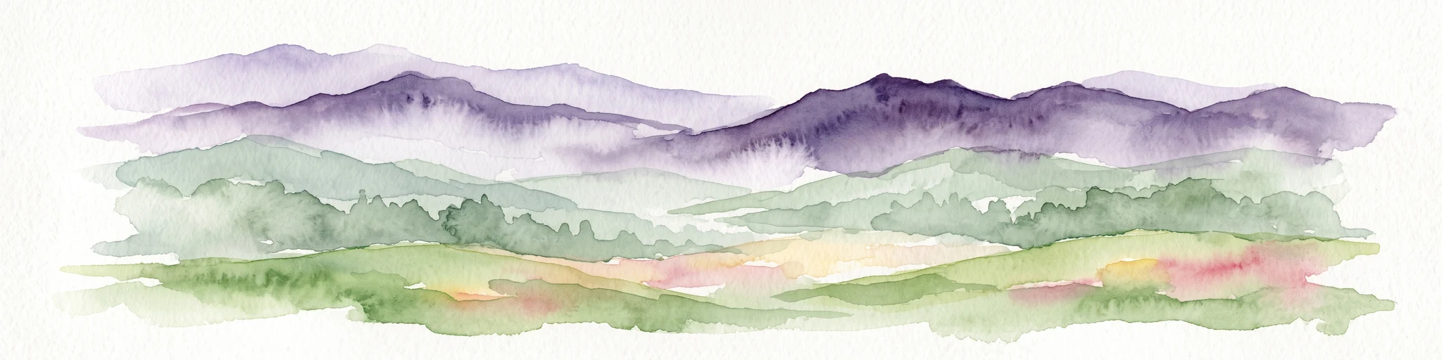
Watercolor illustration of layered mountain ranges with purple peaks fading into a green and yellow foreground.
Natural monumentNuevo León
About 76 km away#3 closest

Northeast

Cerro de la Silla: Protected Natural Monument Geography and Regional Map Context

A rugged mountain landscape in Nuevo León, Mexico

Cerro de la Silla is defined by its unmistakable saddle-shaped silhouette and its status as a vital protected area within the urban matrix of Monterrey. The mountain features complex folded limestone geology and a diverse habitat mosaic that transition from arid scrubland to forested peaks. Use this atlas resource to understand its topographical boundaries, summit formations, and regional environmental significance within the Sierra Madre Oriental fold belt.

Area
60 km²
Established
1991
Relief
Mountain
Climate
Subtropical
Protected areaNuevo León
About 158 km away#4 closest

Northeast

Sierra de Picachos Protected Area: Geographic Boundaries and Regional Landscapes

Mountain geography in northern Nuevo León

Sierra de Picachos represents a vital conservation zone spanning north of Monterrey. The landscape is defined by its dramatic elevation changes, moving from desert-like plains to cool coniferous slopes. This atlas entry focuses on the physical boundaries, ecological zones, and the rugged, peak-studded terrain that distinguish the range from the surrounding Sierra Madre Oriental.

Area
1,405 km²
Established
2000
Relief
Mountain
Climate
Subtropical
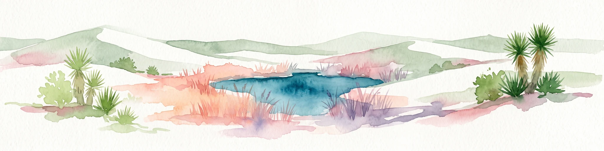
Watercolor painting of a desert landscape with white gypsum dunes, a central turquoise blue pool, and yucca plants.
Wildlife reserveCoahuila
About 209 km away#5 closest

Northwest

Área de Protección de Flora y Fauna Cuatrociénegas: Protected Landscape and Atlas Map

Desert wetlands and gypsum dune geography in Coahuila, Mexico

This wildlife reserve in Coahuila represents a globally significant desert wetland complex. Featuring hundreds of spring-fed pozas and the second-largest gypsum dune field in the Americas, the reserve offers a unique look at isolated ecosystems and specialized biodiversity within the Chihuahuan Desert.

Area
843.47 km²
Established
1994
Relief
Lowland
Climate
Arid
State or regional parkDurango
About 275 km away#6 closest

West

Cañon de Fernández State Park: A Protected Wetland and Canyon Landscape in Durango

Geography and riparian forest mapping in northern Mexico

Cañon de Fernández State Park is an ecologically vital protected area in Durango, defined by the Nazas River corridor. Spanning desert canyons and ancient riparian forests, this site serves as a crucial Ramsar wetland in the Chihuahuan Desert. Learn about its unique geographic boundaries and the centuries-old cypress trees that define this rare northern Mexican landscape.

Area
170.19 km²
Established
2004
Relief
Mixed relief
Climate
Arid
Protected areaCoahuila
About 281 km away#7 closest

North

Cuenca Alimentadora del Distrito Nacional de Riego 004 Don Martín Protected Area Geography

A vast watershed and mountain corridor in central Coahuila

This expansive protected area in northern Mexico functions as the primary catchment for the Don Martín irrigation district. The terrain ranges from dry shrubland and grasslands in the Coahuila interior to the rugged, forested heights of the Sierra Madre Oriental. It remains a key case study in river conservation and the complex interplay between arid ecosystems and mountainous watershed systems.

Area
15,193.8 km²
Established
1949
IUCN
VI
Relief
Mountain
Wildlife reserveTamaulipas
About 335 km away#8 closest

East

Laguna Madre Wildlife Reserve: Geography and Protected Coastal Landscapes of Tamaulipas

Mapping the hypersaline lagoons and barrier island chains of Mexico

Laguna Madre represents a singular coastal ecosystem characterized by its extreme salinity, expansive seagrass meadows, and sheltered barrier island configuration. As a vital protected wetland, the area serves as a primary migratory flyway and habitat for diverse shorebirds and sea turtles, revealing a distinct arid coastal landscape along the Tamaulipas shore.

Area
5,728.08 km²
Established
2005
IUCN
VI
Relief
Lowland
National parkSombrerete Municipality
About 335 km away#9 closest

Southwest

Sierra de Órganos National Park National Park: Mapped Protected Landscape Details

Explore geographic context and park boundaries within Sombrerete Municipality.

Sierra de Órganos National Park stands as a vital national park, offering a unique opportunity for geographic and atlas-based discovery. This dedicated entry focuses on its protected landscape identity, providing detailed insights into its mapped boundaries and its place within the regional geography of Sombrerete Municipality. Understand the park's role as a protected natural area through structured data and landscape context, essential for comprehensive geographic exploration.

Area
11.25 km²
Established
2000
IUCN
II
Relief
Mountain
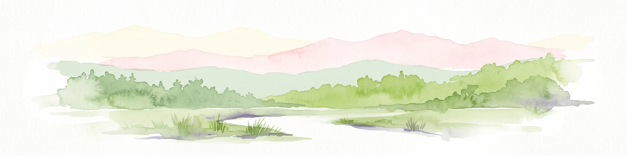
Watercolor illustration showing a river flowing through green forest with pink mountains in the background on a white background
Protected areaTamaulipas
About 345 km away#10 closest

Southeast

Sierra de Tamaulipas Protected Area: Geography, Karst Terrain, and Sky Island Ecosystems

Mapping the natural features of a remote Mexican mountain massif.

The Sierra de Tamaulipas offers a unique study in vertical geography and isolated ecosystems. Rising dramatically above the plains of Tamaulipas, this protected area features a complex mosaic of tropical deciduous forests and pine-oak summits. The range also hosts notable karst features, including the world's deepest water-filled sinkhole, El Zacatón, set within a landscape of immense historical and biological value.

Area
3,339 km²
Established
2016
Relief
Mountain
Climate
Subtropical
National parkMexico
About 372 km away#11 closest

South

El Gogorrón National Park: National Park Protected Landscape and Geography

Mapped boundaries and regional atlas context in Mexico

El Gogorrón National Park is a protected natural area designated as a National Park within Mexico. This entry provides essential details for understanding its geographic significance, mapped boundaries, and its role in the country's conservation landscape. Discover the park's contribution to regional geography and its structured representation within the MoriAtlas exploration platform.

Area
250 km²
Established
1936
IUCN
II
Relief
Mountain
Protected areaAguascalientes
About 378 km away#12 closest

Southwest

Cuenca Alimentadora del Distrito Nacional de Riego 01 Pabellón Protected Area Overview

Highland watershed and Sierra Fría landscape geography

Spanning two distinct blocks in the Sierra Fría, this reserve protects a vital ecological mosaic of matorral shrublands and pine oak forests. As a central watershed, it serves both as a habitat for golden eagles and pumas and as a source for regional irrigation, representing a key managed landscape in the Mexican highlands.

Area
977 km²
Established
2002
IUCN
VI
Relief
Mountain
National parkSan Luis Potosí
About 385 km away#13 closest

South

El Potosí National Park: Detailed Protected Area Geography and Landscape Context

Explore its mapped boundaries within San Luis Potosí.

Uncover the protected landscape of El Potosí National Park, a designated national park situated in San Luis Potosí, Mexico. This entry offers a detailed perspective on its geographic significance, providing insights into its mapped boundaries and regional natural terrain. Understand how this protected area contributes to the broader atlas of natural landscapes in Mexico, ideal for geographic discovery.

Area
20 km²
Established
1936
IUCN
II
Relief
Mountain
Biosphere reserveSan Luis Potosí
About 399 km away#14 closest

Southeast

Sierra del Abra-Tanchipa Biosphere Reserve: Geography and Protected Area Map Context

Rugged sierra terrain in the Huasteca Potosina region of Mexico

Sierra del Abra-Tanchipa forms a continuous block of protected natural territory in eastern San Luis Potosí, featuring steep ridges and limestone-influenced karst topography. As an established biosphere reserve, this area serves as a primary example of conservation within the Huasteca Potosina, preserving an important transition zone of tropical vegetation and complex mountain landforms.

Area
214.64 km²
Established
1994
Scope
Terrestrial
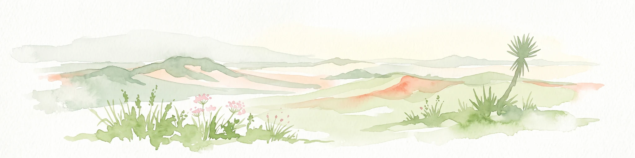
A soft, watercolor-style illustration of a landscape with rolling dunes, sparse grasses, and a lone yucca plant.
Protected landscapeTexas
About 399 km away#15 closest

Northeast

Padre Island National Seashore: Protected Barrier Island Geography and Mapping

Coastal landscapes and hypersaline lagoon ecosystems in South Texas

Padre Island National Seashore serves as a critical protected landscape on the Texas Gulf Coast, characterized by seventy miles of undeveloped shoreline and the hypersaline Laguna Madre. This atlas entry provides geographic context on the barrier island terrain, including active dune fields, tidal flats, and the diverse habitats that support significant migratory bird populations and sea turtle recovery efforts.

Area
527.85 km²
Established
1962
IUCN
V
Visitors
573.3K annual
Wildlife reserveCoahuila
About 435 km away#16 closest

Northwest

Ocampo Flora and Fauna Protection Area: Mapping Desert and Riverine Geography in Coahuila

A vital transboundary wildlife reserve in northern Mexico

Ocampo Flora and Fauna Protection Area provides a massive, contiguous block of protected wilderness characterized by rugged mountain foothills and desert flats. As a cornerstone of the El Carmen Big Bend Complex, the reserve offers a unique look at how river-cut canyons and arid scrublands support diverse life forms in the northern Chihuahuan Desert of Coahuila.

Area
3,442.38 km²
Established
2009
IUCN
VI
Relief
Mixed relief
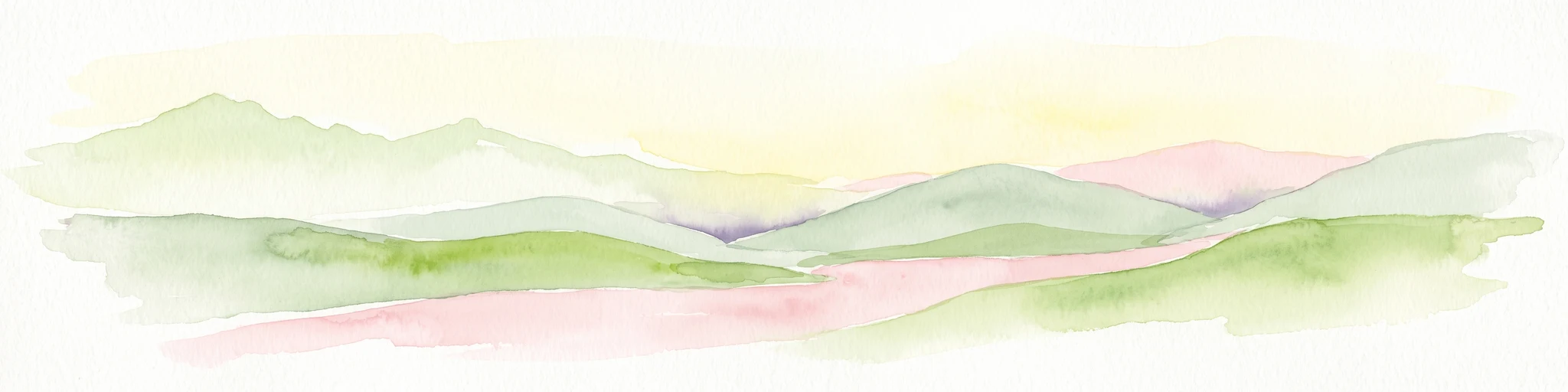
A soft watercolor painting of layered green and pink hills under a pale yellow sky.
Protected areaGuanajuato
About 449 km away#17 closest

South

Sierra de Lobos Protected Area: Mountain Geography and Watershed Mapping in Guanajuato

An ecological transition zone between the Bajío and the Mexican Plateau

Sierra de Lobos stands as a complex mountain range and sustainable use area in Guanajuato, Mexico. Its unique physiographic location provides a habitat bridge for diverse wildlife and a necessary water source for regional communities. This profile maps its transition from tropical dry forest foothills to pine-oak forests at higher altitudes, highlighting its role as a core protected landscape.

Area
1,270.58 km²
Established
1997
Relief
Mountain
Climate
Subtropical
Protected landscapeTexas
About 455 km away#18 closest

North

Amistad National Recreation Area: Mapped Protected Landscapes in Texas

Desert reservoir geography and canyon ecosystems

Amistad National Recreation Area represents a distinct protected landscape located in Val Verde County, Texas. Centered on the expansive Amistad Reservoir at the United States-Mexico border, the area features rugged limestone canyons and extensive water-based terrain where the Rio Grande, Devils, and Pecos rivers meet. The site offers deep insight into desert canyon geography and historic rock art distributions.

Area
237 km²
Established
1965
Visitors
912.3K annual
Relief
Upland
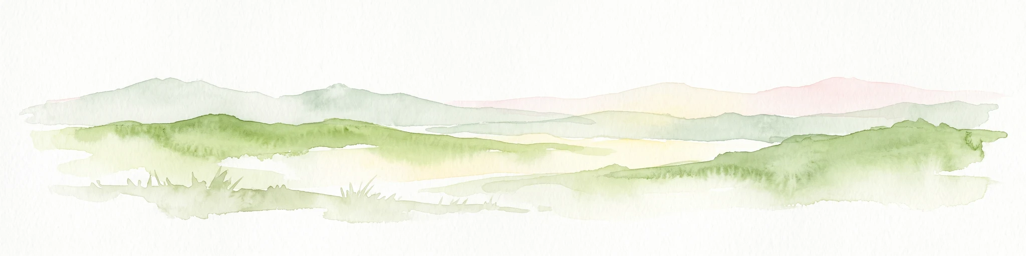
Watercolor painting of soft, layered green mountain silhouettes against a pale sky.
Wildlife reserveCoahuila
About 456 km away#19 closest

North

Área de protección de flora y fauna Maderas del Carmen: Protected Desert Mountain Geography

Rugged limestone ranges and conservation corridors in northern Coahuila

The Área de protección de flora y fauna Maderas del Carmen protects an expansive, high-elevation desert mountain landscape. Featuring the Sierra del Carmen and Sierra el Jardín, the reserve bridges arid desert basins with forested upland terrain, creating one of northern Mexico's most significant ecological corridors for scientific study and wilderness preservation.

Area
2,083.81 km²
Established
1994
Relief
Mountain
Climate
Arid
National parkBrewster County
About 459 km away#20 closest

Northwest

Big Bend National Park: National Park, Mapped Protected Landscape, and Regional Geography

Explore Brewster County's protected natural terrain.

Big Bend National Park is a prominent national park defined by its protected landscape and geographic features within Brewster County. This destination provides users with detailed atlas-style information, focusing on the park's mapped boundaries and its contribution to the understanding of regional natural geography. Delve into the specific context of this protected area to enhance your geographic discovery.

Area
3,242.19 km²
Established
1944
IUCN
II
Visitors
568.1K annual
Distance methodology

Geographic measurements, not driving distances

How nearby park distances are calculated

Distances use park boundaries whenever the available geometry allows it. When one or both boundaries are missing, the mapped park locations provide a clearly labelled estimate. Every value represents straight-line geographic separation and does not use roads or routing.

Boundary distance

Calculated between the nearest points of both park boundaries.

Location-to-boundary estimate

Estimated from one mapped park location to the nearest boundary of the other park.

Mapped-location estimate

Estimated between the mapped locations of both parks.

MoriAtlas Explorer

Explore the Mountain Geography and Protected Boundaries of Serranía de Zapalinamé

Continue mapping the ecological features and watershed importance of this vital Coahuila range. MoriAtlas provides detailed context on the terrain and diverse ecosystems that make Serranía de Zapalinamé a landmark of conservation in northern Mexico.