Mori Atlas logo
Nearby park discovery

Regional landscape mapping and geographic distribution of surrounding protected areas

National Parks and Protected Areas Surrounding Sibiloi National Park in Kenya

Explore the geographic distribution of protected lands and national parks situated within the vicinity of Sibiloi National Park in northern Kenya. This regional overview highlights the spatial relationships between diverse natural landscapes and volcanic terrain across the Rift Valley province. Gain a clearer understanding of local topography and the connected network of nearby conservation areas through structured map-based discovery.

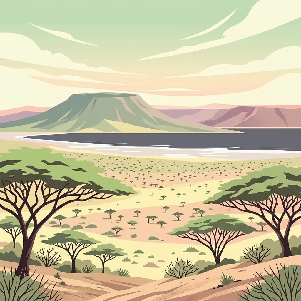
A flat-style digital illustration depicting a dry, rocky desert landscape with acacia trees in the foreground and a calm lake with distant hills in the background under a soft, pastel-colored sky.

Lake Turkana shoreline preserving the cradle of mankind

Sibiloi National Park

Sibiloi National Park occupies a dramatic position along the northeastern shoreline of Lake Turkana in northern Kenya, within the country's Rift Valley region. Established in 1973 primarily for the protection of significant paleontological sites and wildlife, the park covers approximately 1,570 square kilometers of semi-desert terrain, open plains, and volcanic landscapes. The area holds exceptional significance as one of the most important repositories of fossil evidence relating to human evolution anywhere on the African continent, earning it recognition as a UNESCO World Heritage Site since 1997 as part of the Lake Turkana National Parks complex. The park's name derives from Mount Sibiloi, a prominent volcanic peak that rises along the southern boundary of the protected area, visible from Alia Bay on the park's southern perimeter.

Location
Kenya
Park type
National park
Established
1973
Area
1,570.9 km²
Sibiloi National Park Protected Area
Regional park map

See the ranked park cluster in its geographic setting

Nearby parks around Sibiloi National Park

This regional map shows the same 17 nearby parks ranked below around Sibiloi National Park. Select a ranked marker to highlight that park’s boundary where boundary data is available.
Reference park: Sibiloi National ParkRanked nearby park17 nearby parks shown
17 nearby parks

Explore distance-ranked surrounding protected landscapes and regional park geography

Parks and Protected Areas Geographically Near Sibiloi National Park

Examine the ranked collection of nearby protected areas measured by direct geographic separation from Sibiloi National Park. Analyzing surrounding regional terrain and environmental characteristics provides structured comparison signals across neighboring conservation zones.
An illustrative aerial view of an island with multiple volcanic craters and crater lakes surrounded by a large body of water, depicted in a stylized graphic art style.
National parkKenya
About 62 km away#1 closest

Southwest

Central Island National Park: Kenya National Park Atlas and Protected Landscape

Discover the mapped geography and protected area context.

Central Island National Park is a designated national park in Kenya, offering a distinct protected landscape within the country's expansive Rift Valley. This detailed entry focuses on the park's geographic identity and its significance as a protected area, providing users with clear information on its mapped boundaries and regional landscape context. Dive into the specific geography and natural terrain that distinguish Central Island National Park for comprehensive atlas-style exploration.

IUCN
II
Scope
Mixed
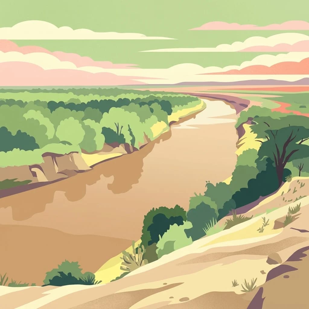
A flat-style digital illustration showing a wide, brown, winding river flowing through a lush green valley bordered by sandy slopes and low trees under a pastel sky.
National parkEthiopia
About 170 km away#2 closest

North

Omo National Park: Ethiopia's Remote Protected Landscape with Rich Wildlife Spectacles

Mapped boundaries, savannah plains, and Maji Mountains terrain.

Omo National Park is a remote protected area in Ethiopia renowned for its expansive savannah, riverine woodlands, and remarkable wildlife concentrations. Covering over 4,000 square kilometers, this national park presents a landscape of sweeping plains, the vital Omo River corridor, and the dramatic Maji Mountains. The park's protected status safeguards exceptional populations of large mammals, offering a glimpse into an untamed African wilderness. Explore the mapped geography and the unique ecological zones that contribute to its significant conservation value.

Area
4,068 km²
Established
1980
IUCN
II
Relief
Mixed relief
A flat-style digital illustration of an open, dry savanna landscape with sparse vegetation, a winding dirt path in the foreground, and arid hills under a blue sky with clouds.
National parkSouth Ethiopia Regional State
About 190 km away#3 closest

North

Mago National Park

Discover the unique landscapes and wildlife habitats mapped within this national park.

Mago National Park, in South Ethiopia Regional State, Ethiopia. Landscapes: rivers, forests, and wetlands.

Area
2,220 km²
Established
1979
IUCN
II
Relief
Mixed relief
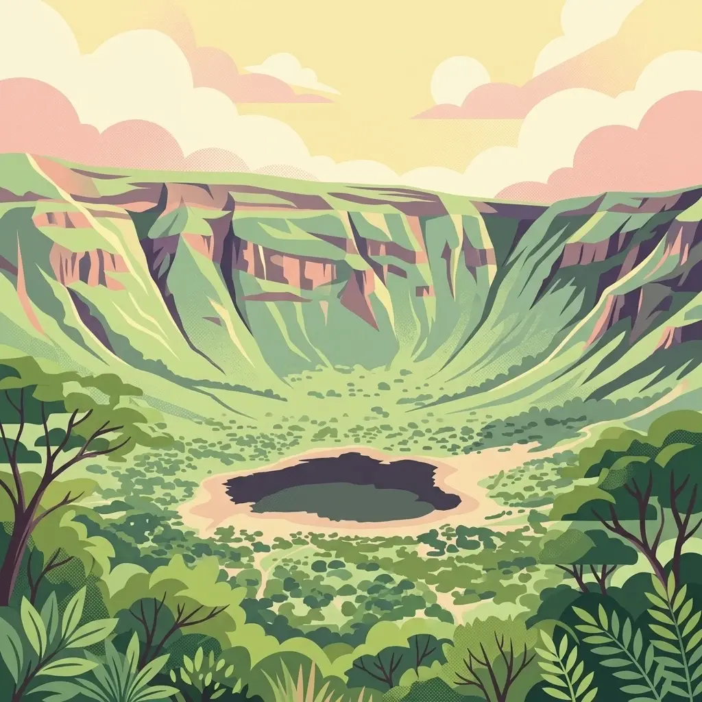
A digital illustration of a bowl-shaped volcanic crater with a dark lake at the bottom, surrounded by steep cliffs and lush vegetation under a soft pastel sky.
National parkEthiopia
About 248 km away#4 closest

East

Borena National Park: Ethiopia's Protected Landscape and National Park Geography

Discover mapped boundaries and regional landscape context.

Borena National Park is an important protected area in Ethiopia, offering a detailed view of its natural landscape and geographic setting. As a national park, it serves as a key entity for exploring regional geography and understanding protected land distribution within the Horn of Africa. This resource provides structured information on its mapped boundaries and overall landscape character, crucial for atlas-based discovery of Ethiopian natural areas.

Area
45,366 km²
Established
1986
IUCN
II
Relief
Mountain
A flat-style digital illustration showing a circular crater lake surrounded by forested slopes and rocky terrain under a soft sun, with an expansive arid plain and distant hills in the background.
National parkMarsabit County
About 252 km away#5 closest

Southeast

Marsabit National Park: Protected Area Identity and Geographic Setting in Kenya

Explore mapped landscape and regional park geography.

Marsabit National Park represents a critical protected area within the geographic expanse of Marsabit County, Kenya. This entry provides essential context for understanding the park's specific identity as a national park, its delineated boundaries, and its place within the natural landscape. For those interested in atlas-style exploration, this park detail offers foundational geographic information and insights into its protected status, anchoring its role in a broader discovery of Kenya's natural heritage.

Area
1,554 km²
Established
1949
Relief
Mountain
Climate
Subtropical
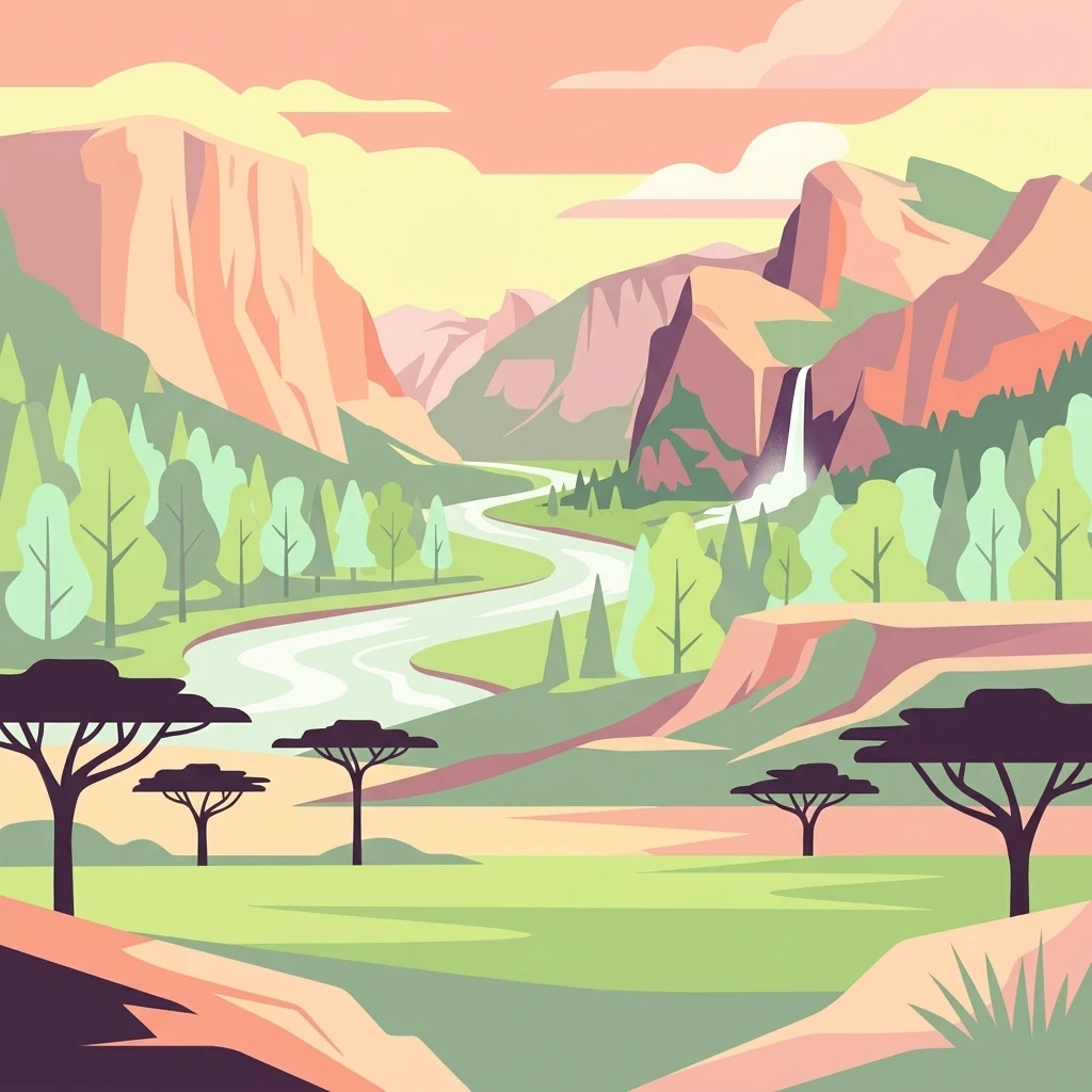
Illustrated landscape with winding river, mountains, acacia trees, and green savannah
National parkKaramoja
About 254 km away#6 closest

West

Kidepo Valley National Park

Explore Uganda's expansive national park mapped geography and wildlife

Kidepo Valley National Park, in Karamoja, Uganda. Landscapes: grasslands and rivers.

Area
1,442 km²
Established
1958
IUCN
II
Visitors
2.3K annual
A stylized digital illustration of a golden savanna landscape under a soft pastel sunset, featuring rolling grassy hills, scattered shrubs, and distant mountain peaks.
National parkSouth Ethiopia Regional State
About 267 km away#7 closest

Northeast

Nechisar National Park: Protected Natural Landscape in South Ethiopia Regional State

Explore the mapped geography and protected area context of this Ethiopian park.

Nechisar National Park is designated as a national park, serving as a critical protected natural area within the South Ethiopia Regional State. This MoriAtlas entry provides detailed geographic context, focusing on the park's mapped boundaries and its place within the regional landscape. Users can explore the park's identity as a protected territory, offering a foundation for understanding Ethiopia's natural protected areas through a geographic lens.

Area
1,030 km²
Established
1974
IUCN
II
Relief
Mixed relief
National parkEthiopia
About 289 km away#8 closest

North

Maze National Park: Ethiopia's Essential National Park for Swayne's Hartebeest and Geothermal Wonders

Discover mapped savanna ecosystems and unique montane geography within this protected Ethiopian landscape.

Maze National Park represents a significant protected area within Ethiopia, vital for the conservation of the endangered Swayne's hartebeest. Its diverse terrain includes savanna grasslands and unique geothermal features such as active geysers, all set against a distinctive montane backdrop. This national park offers a deep dive into Ethiopia's natural heritage, providing a clear geographic identity and valuable context for landscape exploration.

Area
210 km²
Established
2005
IUCN
II
Relief
Mixed relief
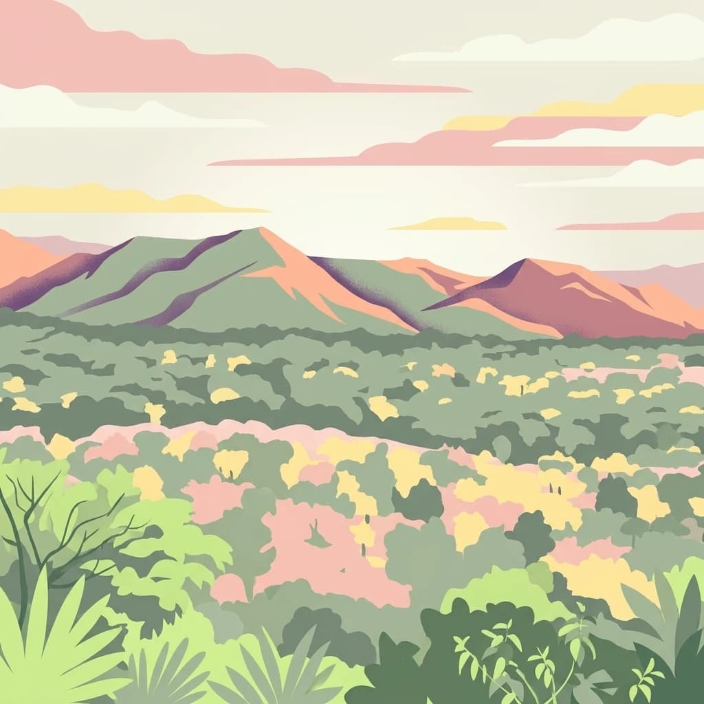
A digital illustration showing a panoramic view of layered mountains and lush forest, rendered in a palette of muted greens, pinks, and yellows.
National parkSouth West Ethiopia Peoples' Region
About 324 km away#9 closest

North

Chebera Churchura National Park: Ethiopia's National Park Protected Landscape Explorer

Mapping the protected area and regional geography of Chebera Churchura.

Chebera Churchura National Park is a key protected landscape in the South West Ethiopia Peoples' Region, designated as a national park. This page provides detailed geographic context and atlas-level information about the park's boundaries and its place within the regional terrain. Engage with the structured data that defines Chebera Churchura National Park's identity as a significant natural area for map-based discovery.

Area
1,250 km²
Established
2006
IUCN
II
Climate
Tropical
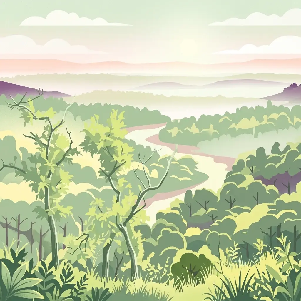
An illustration of a lush green forest with a winding river flowing through the center toward distant rolling hills under a soft pastel sky.
National parkTrans-Nzoia County
About 344 km away#10 closest

Southwest

Saiwa Swamp National Park National Park: Mapped Protected Area in Trans-Nzoia County

Explore the geographic context and protected landscape features.

Saiwa Swamp National Park serves as a vital national park within Trans-Nzoia County, Kenya, offering a unique perspective on protected lands. This page details its mapped geography and landscape characteristics, providing essential context for atlas-based exploration of its protected boundaries and regional setting. Understand the specific features that define this important conservation area.

Area
3 km²
Established
1974
IUCN
II
Relief
Lowland
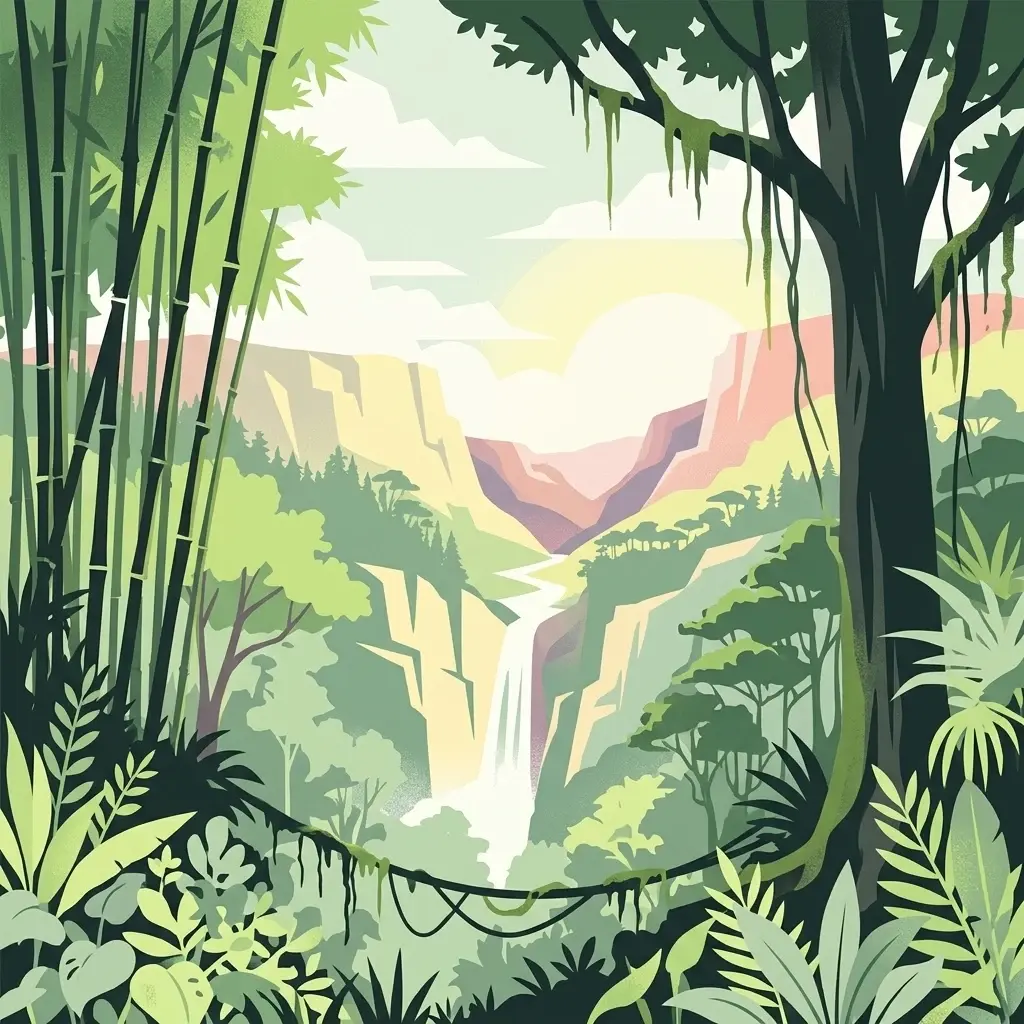
A stylized digital illustration of a lush tropical valley with a waterfall in the center, framed by bamboo stalks on the left and a large tree with hanging vines on the right.
National parkUganda
About 369 km away#11 closest

Southwest

Mount Elgon National Park

Explore volcanic terrain, unique cave systems, and diverse montane landscapes.

Mount Elgon National Park, in Uganda. Landscapes: mountains, forests, and valleys.

Area
1,279 km²
Established
1968
IUCN
II
Relief
Mountain
National parkSouth Sudan
About 389 km away#12 closest

Northwest

Boma National Park: Protected Landscape in South Sudan's East African Geography

Explore mapped boundaries and regional terrain context.

Boma National Park represents a vital protected landscape within South Sudan. As a national park, it contributes significantly to the geographic understanding of conservation areas in East Africa. Its distinct location and mapped outlines provide essential context for those exploring the regional atlas, highlighting its importance in understanding South Sudan's natural terrain and protected area network.

Area
22,800 km²
Established
1977
IUCN
II
Relief
Lowland
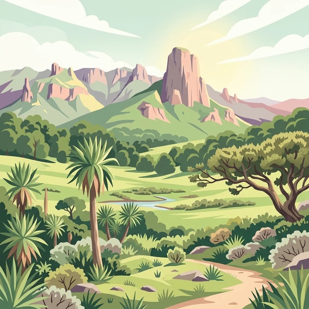
A stylized digital illustration of a mountainous landscape with a prominent peak in the center, a winding dirt path in the foreground, and lush green highland vegetation including scattered palm-like trees.
National parkBale Zone
About 456 km away#13 closest

Northeast

Bale Mountains National Park

Mapped boundaries and natural terrain context for this Ethiopian park.

Bale Mountains National Park, in Bale Zone, Ethiopia. Landscapes: mountains, plateaus, and forests.

Area
2,220 km²
Established
1970
IUCN
II
Relief
Mountain
National parkEthiopia
About 459 km away#14 closest

Northeast

Abidjatta-Shalla National Park: Ethiopian National Park and Rift Valley Bird Habitat

Mapped terrain and protected wetland ecology in the Ethiopian Rift Valley.

Explore Abidjatta-Shalla National Park, a significant protected area in Ethiopia renowned for its stunning avian spectacles, particularly the vast flamingo colonies on Lake Abijatta. This national park's landscape is defined by the distinct volcanic geology of the Rift Valley, featuring both shallow alkaline waters and deeper lakes that create diverse wetland ecosystems. Understand its geographic placement within Ethiopia and its importance as a major birdwatching destination, offering insights into unique protected natural landscapes.

Area
887 km²
Established
1974
IUCN
II
Relief
Mountain
A digital illustration of a mountainous landscape with jagged peaks in the background, a central lake, and foreground vegetation including bamboo stalks and rosette-shaped alpine plants.
National parkKenya
About 465 km away#15 closest

South

Mount Kenya National Park

Kenya's high-altitude Afro-alpine ecosystems and mapped park boundaries.

Mount Kenya National Park, in Kenya. Landscapes: mountains, forests, and rivers.

Area
715 km²
Established
1949
IUCN
II
Relief
Mountain
A soft watercolor illustration depicting a pale yellow lake shore with green trees in the foreground and rolling hills in the background.
National parkKenya
About 471 km away#16 closest

South

Lake Nakuru National Park

Geographic boundaries, terrain analysis, and ecosystem context.

Lake Nakuru National Park, in Kenya. Landscapes: lakes, wetlands, and grasslands.

Area
188 km²
Established
1961
IUCN
II
Relief
Lowland
National parkEastern Province
About 475 km away#17 closest

Southeast

Meru National Park National Park: Mapped Protected Boundaries and Eastern Province Geography

Explore regional landscape context and natural terrain.

Meru National Park represents a vital national park entity within the Eastern Province of Kenya, offering unique opportunities for structured geographic and atlas exploration. This page details its protected landscape identity, emphasizing mapped boundaries and the surrounding regional context. Users interested in conservation lands and natural terrain can find comprehensive details on Meru National Park's geographic significance and its role within the broader atlas of protected areas.

Area
870.44 km²
Established
1966
IUCN
II
Relief
Upland
Distance methodology

Geographic measurements, not driving distances

How nearby park distances are calculated

Distances use park boundaries whenever the available geometry allows it. When one or both boundaries are missing, the mapped park locations provide a clearly labelled estimate. Every value represents straight-line geographic separation and does not use roads or routing.

Boundary distance

Calculated between the nearest points of both park boundaries.

Location-to-boundary estimate

Estimated from one mapped park location to the nearest boundary of the other park.

Mapped-location estimate

Estimated between the mapped locations of both parks.

MoriAtlas Explorer

Continue Exploring Sibiloi National Park's Geographic and Protected Landscape Identity

Delve deeper into the specific mapped geography and protected landscape characteristics of Sibiloi National Park. Understanding its precise boundaries and regional context is key to appreciating its role as a national park within the Rift Valley Province. Use this information to build a more comprehensive atlas view of Kenya's protected natural areas.

Global natural geography