Mori Atlas logo
Country parks

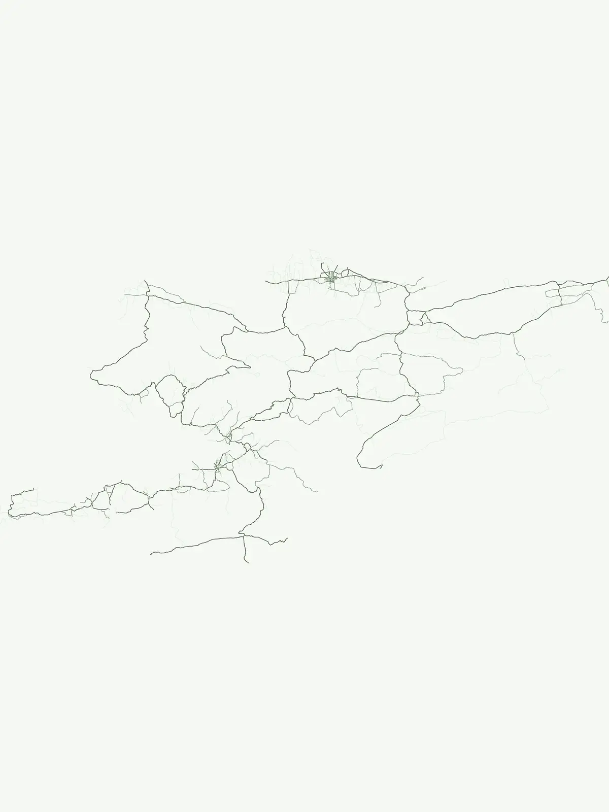
Discover the geographic spread of protected landscapes across Kyrgyzstan's mountainous terrain.

Kyrgyzstan National Parks and Protected Areas: A Comprehensive Browseable List

Kyrgyzstan, a landlocked Central Asian country nestled within the Tian Shan and Pamir mountain ranges, features a diverse array of national parks and protected areas. This dedicated country park list allows for in-depth browsing of these significant natural landscapes, offering a clear view of their distribution and regional geographic context. Explore the mapped boundaries and protected land coverage that define Kyrgyzstan's commitment to conservation across its vast, mountainous territory.

Kyrgyzstan National Parks and Protected Areas: A Comprehensive Browseable List

Browse the geographic spread of nature reserves and conservation areas across Kyrgyzstan's Tian Shan mountain ranges.

Kyrgyzstan National Parks and Protected Areas: A Comprehensive Atlas Guide

Explore a complete index of Kyrgyzstan's national parks, nature reserves, and protected landscapes, encompassing the country's diverse mountainous terrain and alpine environments. Understand the full geographic spread of conservation areas, their regional context, and plan your protected area discovery across this Central Asian nation.

Showing 1 to 17 of 17 parks

State or regional parkKyrgyzstan

Ala-Archa Nature Park

Explore its mapped terrain and geographic context.

Investigate Ala-Archa Nature Park, a distinct protected area situated in the mountainous geography of Kyrgyzstan. This state or regional park offers valuable insight into the mapped natural landscapes and regional context of Central Asia. Understanding its boundaries and geographic character provides a foundation for deeper atlas-based exploration of Kyrgyzstan's protected lands.


National parkKyrgyzstan

Besh-Tash Nature Park

Explore the natural terrain and park boundaries in Kyrgyzstan.

Discover Besh-Tash Nature Park, a designated national park located within the mountainous terrain of Kyrgyzstan. This page focuses on its role as a protected landscape, providing insight into its mapped geographic context and regional significance. Understanding Besh-Tash Nature Park involves examining its natural setting and its contribution to conservation efforts in Central Asia, offering a factual atlas perspective for explorers.

State or regional parkKyrgyzstan

Saymaluu-Tash State Nature Park

Explore its geographic setting and natural terrain.

Saymaluu-Tash State Nature Park is a designated protected area offering crucial insights into Kyrgyzstan's natural geography. This page focuses on the park's mapped boundaries and its place within the regional landscape context of Central Asia. Utilize this resource to understand the specific geographic features and protected status of this significant nature park, contributing to a comprehensive atlas of protected lands.

II
State or regional parkKyrgyzstanMountain

Khan-Tengri State Nature Park

Explore protected landscapes and geographic context.

Khan-Tengri State Nature Park is a designated protected area in Kyrgyzstan, offering unique insights into the region's mountainous geography. This page serves as a detailed atlas entry, highlighting the park's protected landscape characteristics, its mapped boundaries, and its place within the broader natural terrain of Central Asia. Understand the geographic identity of this state or regional park and its contribution to conservation landscapes.

2,758 km²2016Remote accessMinor water
National parkKyrgyzstanMountain

Karakol State Nature Park

Explore the geographic context and mapped boundaries of this Kyrgyz national park.

Delve into Karakol State Nature Park, a designated national park contributing to Kyrgyzstan's rich protected lands catalog. This entry provides essential details for understanding its protected landscape identity, its geographic setting within the Central Asian mountains, and its mapped presence within a broader atlas of natural areas. Discover the park's unique role as a mapped conservation zone and its contribution to regional geographic context.

380.95 km²1997Minor water
Protected areaKyrgyzstan

Alatay State Nature Park

Explore the protected boundaries and geographic context of this Kyrgyz natural landscape.

Alatay State Nature Park is a designated protected area within Kyrgyzstan, contributing to the country's vast network of natural landscapes. This page provides detailed geographic information, emphasizing the park's mapped boundaries and its role within the broader regional context of the Tian Shan mountains. It serves as a crucial point for understanding the park's landscape identity and its atlas-level significance as a protected natural territory in Central Asia.

Access unknown
State or regional parkKyrgyzstanMountain

Chong-Kemin Nature Park

State or Regional Park with Alpine Valleys and Glacial Lakes

Chong-Kemin Nature Park offers a rich geographic exploration of Kyrgyzstan's Tian Shan mountain region. This state or regional park encompasses approximately 123,564 hectares, defined by the extensive Chong-Kemin River valley and seven glacial lakes. Its landscape provides crucial habitat within a protected area, showcasing alpine terrain and river ecosystems. Users interested in mapped protected areas and regional park geography will find Chong-Kemin Nature Park a key point for understanding Kyrgyzstan's natural heritage.

1,235.64 km²1997AlpineModerate access
State or regional parkKyrgyzstan

Sarkent State Nature Park

Explore mapped boundaries and regional geographic context.

Sarkent State Nature Park is a key state or regional park situated within the dramatic mountain geography of Kyrgyzstan. Its designation protects a significant natural landscape, offering users a valuable point of reference for understanding regional protected areas and the intricate terrain of Central Asia. This detail entry provides context for its mapped boundaries and its place within the broader atlas of protected lands.

Nature reserveJalal-Abad RegionMountain

Padyshata State Nature Reserve

Chatkal Range ecosystems in the western Tien Shan

Covering 158 square kilometers, Padyshata State Nature Reserve is a strictly managed protected area defined by its vertical zonation, ranging from rocky mountain slopes to expansive juniper and Semenov fir forests. This geographic profile outlines the terrain, habitat structure, and the vital role of this reserve within the broader Kyrgyz forest conservation network.

158.46 km²2003AlpineAccess unknown
State or regional parkKyrgyzstan

Kara-Shoro State Nature Park

Explore its mapped boundaries and regional protected area identity.

Kara-Shoro State Nature Park is a vital protected area situated within the mountainous geography of Kyrgyzstan. This park detail page facilitates a structured exploration of its specific landscape character, mapped terrain, and its significance as a state or regional park within the Central Asian atlas. Understand the park's protected nature and its role in the country's conservation landscape through detailed geographic context.

II
Nature reserveNaryn Region

Naryn Nature Reserve

Strictly protected mountain terrain and river basin geography

Naryn Nature Reserve encompasses a vast protected area in the Naryn Region of Kyrgyzstan, showcasing the diverse ecological and geological character of the inner Tien Shan. The reserve functions as a vital anchor for regional biodiversity, spanning high plateaus, river valleys, and isolated mountain ridges that remain largely untouched by development.

1,080.23 km²1983Ia
State or regional parkKyrgyzstan

Kyrgyz-Ata State Nature Park

Discover the mapped terrain and protected area identity within Kyrgyzstan.

Delve into the protected landscape of Kyrgyz-Ata State Nature Park, a state or regional park located in Kyrgyzstan. This page highlights its geographic significance, mapped park boundaries, and its role within the country's natural terrain. Gain a deeper understanding of its protected area status and its context within the broader Central Asian geography.

State or regional parkKyrgyzstan

Kan-Achuu Nature Park

Explore mapped boundaries and regional geography in Central Asia.

Kan-Achuu Nature Park, a designated state or regional park in Kyrgyzstan, offers an opportunity for detailed geographic exploration. This protected area serves as a focal point for understanding the mapped landscape and natural terrain of Central Asia. Engage with its specific protected boundaries and its placement within the country's diverse geography, ideal for atlas-style discovery.

II
State or regional parkKyrgyzstan

Kara-Buura State Nature Park

Explore the mapped geography and protected area context.

Kara-Buura State Nature Park is a designated state or regional park within Kyrgyzstan, crucial for understanding the country's protected natural areas. Located in the Tian Shan mountain range, the park encompasses diverse alpine and semi-arid landscapes, typical of this high-altitude region. Its mapped boundaries and geographic setting provide valuable context for atlas exploration and appreciating the conservation efforts aimed at preserving Kyrgyzstan's natural heritage, offering a unique lens into the country's mountainous terrain.

II
Nature reserveOsh RegionMountain

Kulunata State Nature Reserve

Strictly protected nature reserve in the Osh Region of southern Kyrgyzstan

The Kulunata State Nature Reserve stands as a dedicated sanctuary for juniper-conifer woodlands in the Osh Region. Its status as an IUCN Category Ia site reflects a commitment to preserving the genetic diversity of high-altitude forest ecosystems across its two-cluster layout. This resource offers a clear view into its mountain boundaries and the vital role it plays in regional watershed health and landscape stability.

245.1 km²2004IaMinor water
State or regional parkKyrgyzstan

Salkyn-Tor State Nature Park

Explore its natural terrain and regional geographic context.

Salkyn-Tor State Nature Park stands as a key protected area, offering a distinct geographic identity within Kyrgyzstan's mountainous geography. This park serves as a focal point for understanding mapped protected lands in Central Asia. Delve into the park's regional context to appreciate its contribution to the natural landscape. MoriAtlas provides detailed geographic insights, enabling a structured exploration of Salkyn-Tor State Nature Park's protected boundaries and its place within the atlas of natural terrain.

II
Nature reserveJalal-Abad Region

Ryazan-Say Botanical Zakaznik

Nature reserve geography and relict plant conservation in Kyrgyzstan

Ryazan-Say Botanical Zakaznik is a concentrated nature reserve dedicated to the survival of rare, relict subtropical flora. The protected area encompasses a narrow, steep-walled gorge system that funnels moisture to sustain species like wild fig and pomegranate. This site provides a critical reference for studying how sheltered mountain canyons maintain ecological diversity within the wider landscape of western Kyrgyzstan.

1.1 km²1987SubtropicalIV
Other countries

Compare Central Asian and wider regional protected landscapes, mapping diverse park geographies from the Tian Shan.

Explore Other National Parks and Protected Areas Beyond Kyrgyzstan

Browse extensive lists of national parks and protected areas in countries neighboring Kyrgyzstan and throughout the wider Central Asian region. Expand your atlas exploration to compare varied geographic contexts and conservation landscapes, tracing the extent of protected environments across diverse terrains.

Pakistan National Parks and Protected Areas: Geographic Atlas Explorer

Navigate the geography of Pakistan's protected areas and national parks. This atlas provides a structured overview of the country's conservation landscapes, highlighting their geographic spread and key natural terrain features. Understand the regional context of protected lands, offering a clear map-based discovery experience for researchers and explorers alike.

63 parks

Kazakhstan National Parks and Protected Areas: Browse Mapped Landscapes and Geography

Delve into the geographic richness of Kazakhstan with this structured atlas entry. Discover the mapped distribution of national parks and protected areas across the country, gaining insight into the diverse natural terrain and conservation landscapes. This resource facilitates a clear understanding of regional park geography, enabling navigation to detailed information about Kazakhstan's significant protected territories.

38 parks

Nepal National Parks and Protected Areas: Geographic Atlas Overview

Access a structured atlas of Nepal's national parks and protected areas, focusing on their geographic scope and distribution. This resource facilitates understanding the country's varied natural terrain, from alpine ecosystems to mountainous protected areas. Discover the mapped boundaries of conservation landscapes, providing a clear geographic context for each protected region within Nepal.

12 parks

Bhutan's National Parks and Protected Areas: Mapped Geographic Overview

Bhutan's commitment to conservation is reflected in its network of national parks and protected areas, nestled within the dramatic Himalayan geography. This destination offers an atlas-style view of these significant natural landscapes, highlighting their geographic distribution and mapped boundaries. Users can navigate this structured data to understand the regional context of protected lands across the Kingdom of Bhutan.

11 parks

Iran National Parks and Protected Areas: Mapped Landscapes and Geographic Discovery

Access a structured atlas for discovering Iran's national parks and protected areas. This geographic resource details the locations and mapped boundaries of conservation landscapes, providing essential context for understanding the country's natural terrain and regional park distribution. Investigate the spread of protected areas and their significance within the broader geography of Iran.

9 parks

Afghanistan National Parks and Protected Areas: Geographic Atlas Explorer

Navigate the protected natural areas of Afghanistan through a structured geographic lens. This resource provides an atlas view of national parks and conservation landscapes, detailing their locations and geographic context within the country's diverse terrain. Understand the regional spread and mapped boundaries of Afghanistan's protected lands, offering a foundation for landscape exploration.

5 parks

Uzbekistan National Parks and Protected Areas: Geographic Atlas Explorer

Delve into the structured geographic exploration of Uzbekistan's protected areas and national parks. This resource provides a map-aware view of conservation landscapes, detailing their distribution and regional context. Understand the placement of protected lands across the country, offering insights into Central Asia's natural terrain and park geography through a dedicated atlas interface.

2 parks

Tajikistan National Parks: A Geographic Atlas of Protected Landscapes

Access a structured geographic database of protected lands throughout Tajikistan. This atlas provides essential mapping and landscape context for understanding the distribution of natural areas across the nation's predominantly mountainous topography, facilitating deep exploration of regional park boundaries and environmental zones.

1 park

Protected area types

Continue Exploring Kyrgyzstan's Protected Area Classifications and Geography

Deepen your understanding of Kyrgyzstan's natural heritage by continuing to explore its protected area designations. This focused route allows for a granular look at classification types like national parks and state reserves, revealing patterns in their geographic distribution. Use this structured approach to navigate into detailed information on each represented designation group, enhancing your appreciation of the country's conservation landscape and regional context.

Kyrgyzstan Protected Area Designations
MoriAtlas Explorer

Continue Your Kyrgyzstan Park Search: Refine and Compare Protected Areas

Deepen your understanding of Kyrgyzstan's protected natural territories by continuing your search. Utilize detailed filters to compare park geography, landscape context, and mapped boundaries across this mountainous Central Asian country. MoriAtlas facilitates focused exploration, allowing you to transition from broad overviews to specific conservation area details with ease.

Global natural geography