National parkBoeny
About 133 km away#1 closest
Southwest

Baie de Baly National Park: Mapped Boundaries and Protected Landscape Context
Explore the geography and natural terrain of this national park.
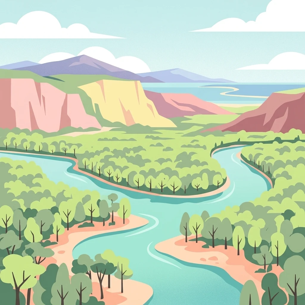
Baie de Baly National Park presents a critical focal point for understanding protected areas within the Boeny region. As a national park, it showcases specific mapped boundaries that contribute to the broader geographic understanding of Madagascar's conservation landscapes. This detailed view allows for an atlas-driven exploration of the park's natural terrain and its significance as a distinct protected landmass within its regional context.
- Area
- 571.42 km²
- Established
- 1997
- IUCN
- II
- Climate
- Tropical