Mori Atlas logo
Protected landscapeArrábida Natural Park

Discover the mapped boundaries and regional terrain of this key Portuguese protected area.

Arrábida Natural Park: A Protected Landscape within Portugal's Geographic Context

(Parque Natural da Arrábida)

Arrábida Natural Park stands as a distinct protected landscape within Portugal, offering a focused area for geographic exploration and atlas-based understanding. This page provides detailed insight into its mapped boundaries and the surrounding natural terrain, serving as a critical reference point for comprehending the park's environmental significance and its place within the broader Portuguese geography. Utilize MoriAtlas to visualize and analyze the protected landscape context of Arrábida.

Mediterranean ClimateLimestone MountainsCoastal CliffsMarine Protected AreaUNESCO Biosphere ReserveBeach Destinations

Arrábida Natural Park

Protected landscape

Park overview

Structured park overview, official facts, and landscape profile for Arrábida Natural Park

Arrábida Natural Park park facts, protected area profile, and essential visitor context
Review the core facts for Arrábida Natural Park, including designation, size, terrain, visitor scale, habitats, and operating context in one park-focused overview.

About Arrábida Natural Park

Arrábida Natural Park represents a remarkable convergence of geological, ecological, and cultural values on Portugal's southern coast. The park is centered on the Serra da Arrábida, a limestone mountain cordillera that stretches approximately 35 kilometers along the coast, creating a dramatic backdrop where white cliffs and peaks rise abruptly from the Atlantic. This landscape is geologically exceptional for the Iberian Peninsula, formed through a complex history of rifting during the fragmentation of Laurasia and the opening of the North Atlantic, with the mountainous terrain originating in the Jurassic and Miocene epochs while the surrounding plains date to the Pliocene and Quaternary periods. The resulting terrain includes notable features such as Morro de Palmela, the Montes de Azeitão including Serra do Louro and Serra de São Francisco, and the impressive coastal cliffs of Serra do Risco and Píncaro, which at approximately 380 meters represent the highest points along this section of the Portuguese coast. The park's marine component is equally significant, encompassing waters around Cape Espichel that protect diverse marine flora and fauna, coastal cliffs serving as nesting areas for seabirds, and paleontological sites of scientific importance. The park's 42 habitat types reflect the meeting of Atlantic and Mediterranean climatic influences, supporting vegetation communities that range from evergreen woodlands to coastal dune systems, with ten habitats prioritized for conservation significance. The integration of cultural heritage into this natural landscape is exemplified by the Convent of Our Lady of Arrábida, a former 16th-century monastery now managed by the Fundação Oriente, which overlooks the popular beaches below.

Quick facts and research context for Arrábida Natural Park

Arrábida Natural Park occupies the southern margin of the Setúbal Peninsula in Portugal's Setúbal District, covering 176.41 square kilometers including both terrestrial and marine areas. Thepark's defining feature is the Serra da Arrábida, a limestone mountain range rising to 501 meters with dramatic cliffs descending directly into the Atlantic. The park was established in 1976 following earlier protection efforts beginning in 1971, and was expanded in 1998 to include the Arrábida-Espichel Marine Area. The area is classified as IUCN Category V, reflecting its status as a protected landscape. The park contains 42 habitat types, ten of which are prioritized for conservation, and supports 213 vertebrate species on land plus approximately 1400 marine species.

Park context

Deeper park guide and search-rich context for Arrábida Natural Park

Arrábida Natural Park history, landscape, wildlife, and travel context
Explore Arrábida Natural Park through its history, landscape character, ecosystems, wildlife, conservation priorities, cultural context, and seasonal travel timing in a structured park guide built for atlas discovery and search intent.

Why Arrábida Natural Park stands out

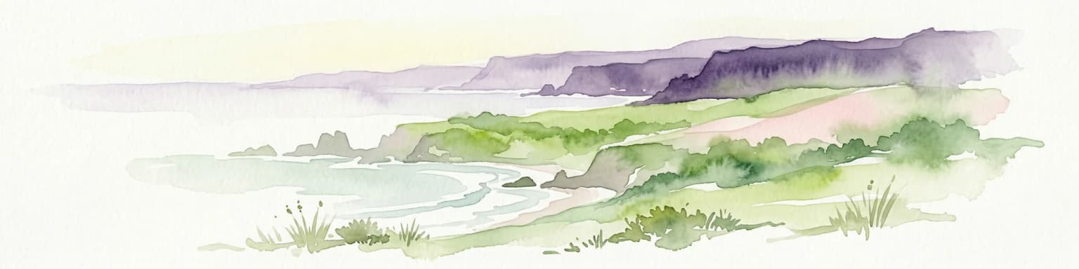
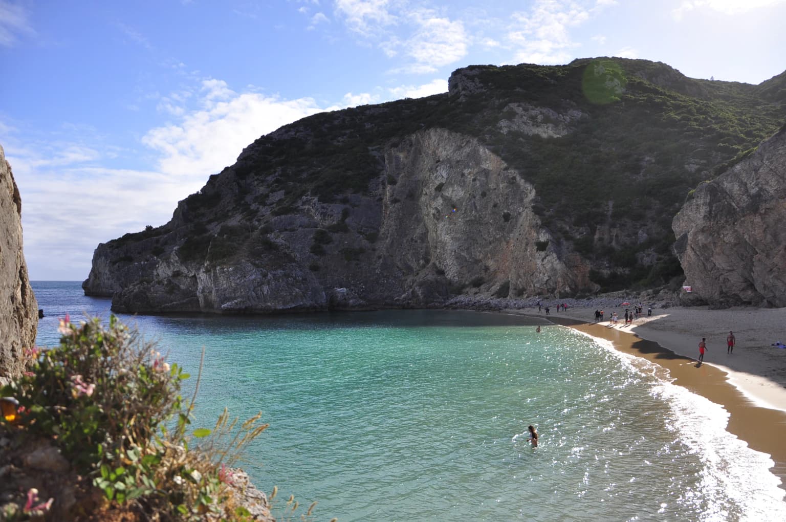
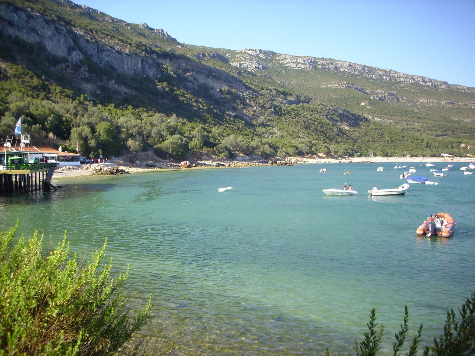
Arrábida Natural Park is best known for its unique geological character where a Mediterranean-type limestone mountain range meets the Atlantic Ocean, creating dramatic cliffs,Hidden coves, and beaches that contrast sharply with the typical Portuguese coastline. The park's three popular beachesGalapinhos, Portinho da Arrábida, and Figueirinhaare among the most scenic in the region. The Convent of Our Lady of Arrábida, a 16th-century monastery perched above the beaches, adds cultural significance to the natural landscape. The park is also notable for its fossil deposits, particularly dinosaur remains at Cape Espichel, and for the Gruta do Frade, an extensive karst cave system. The area gained additional recognition in 2025 when it was designated as a UNESCO biosphere reserve.

Arrábida Natural Park history and protected-area timeline

The protection of Arrábida's unique landscape began in the mid-20th century as recognition grew of the area's exceptional geological and ecological values. Initial attempts to protect the region started in the 1940s, culminating in the creation of the Arrábida Reserve through Decree 355/71 on August 16, 1971, which covered the southern flanks of the mountains and the cliffs of Risco. However, this initial protection was soon recognized as insufficient for the area's comprehensive conservation needs. On July 28, 1976, Decree 622/76 established the Parque Natural da Arrábida, a classification that envisioned not only the protection of geological, forest, wildlife, and landscape values but also the cultural and historical resources within the area. This establishment reflected a broader Portuguese movement in the 1970s to formalize protection for significant natural areas. A significant expansion of the park's scope came with Regulatory Decree 23/98 on October 14, 1998, which reclassified the natural park and expanded its coastal area while establishing the Arrábida-Espichel Marine Area. This expansion was designed to support the park's objectives, particularly regarding the diverse marine flora and fauna, and included the discontiguous zone of Cape Espichel to protect coastal cliffs, endemic flora species, seabird nesting areas, and paleontological fossil sites. Most recently, in 2025, the park achieved international recognition when UNESCO designated it as a biosphere reserve through the World Network of Biosphere Reserves, acknowledging both its ecological significance and its role in sustainable development.

Arrábida Natural Park landscape and geographic character

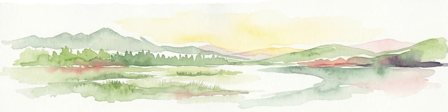
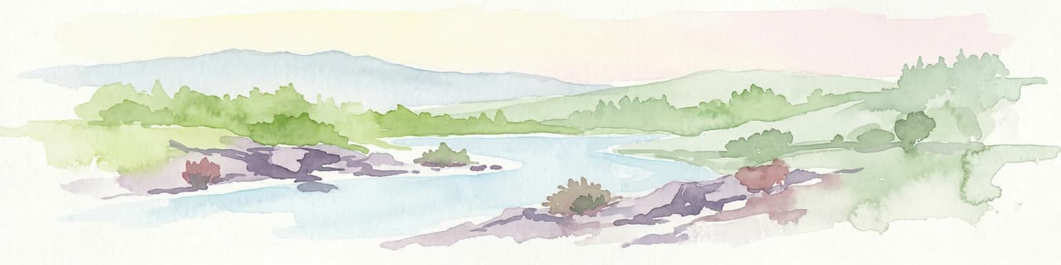
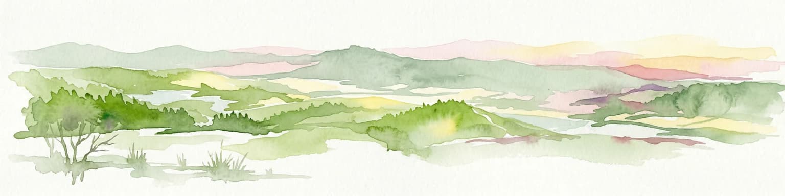
The Arrábida landscape is defined by the dramatic encounter between a limestone mountain range and the Atlantic Ocean, creating one of Portugal's most visually distinctive coastal environments. The Serra da Arrábida cordillera, the park's namesake, rises as a white ridge of limestone and dolomite that reaches 501 meters at Formosinho, the highest point in the park. This mountain range, oriented roughly east-northeast to west-southwest, stretches about 35 kilometers with a maximum width of 6 kilometers, forming a geological barrier that has shaped both the terrestrial and marine environments. The mountains feature frequent rocky outcroppings and sheer cliffs that drop directly into the sea, particularly along the dramatic section from Sesimbra to Cape Espichel where the coast reaches 380 meters at Alto do Píncaro. Along this elevated stretch, beaches are rare and small, accessible primarily by boat, while the area from Alpertuche to Outão offers more accessible beaches including the popular Portinho da Arrábida. The interior of the park includes productive plains on the northern edge and several valleys such as Picheleiros, Solitário, and Vitória. Notable geological features include karst cavities, with the Gruta do Frade being particularly significant for its uniqueness and scenic beauty. The landscape also features ornamental breccia, commonly known as Arrábida Marble, formed from the alternating layers of limestone, sandstone, and breccia that accumulated during the Jurassic period when the area was submerged beneath shallow seas. The hydrological system includes both seasonal watercourses that flow primarily during winter months and perennial ravines, with the Ribeira da Ajuda being the only waterway within the park that maintains year-round flow.

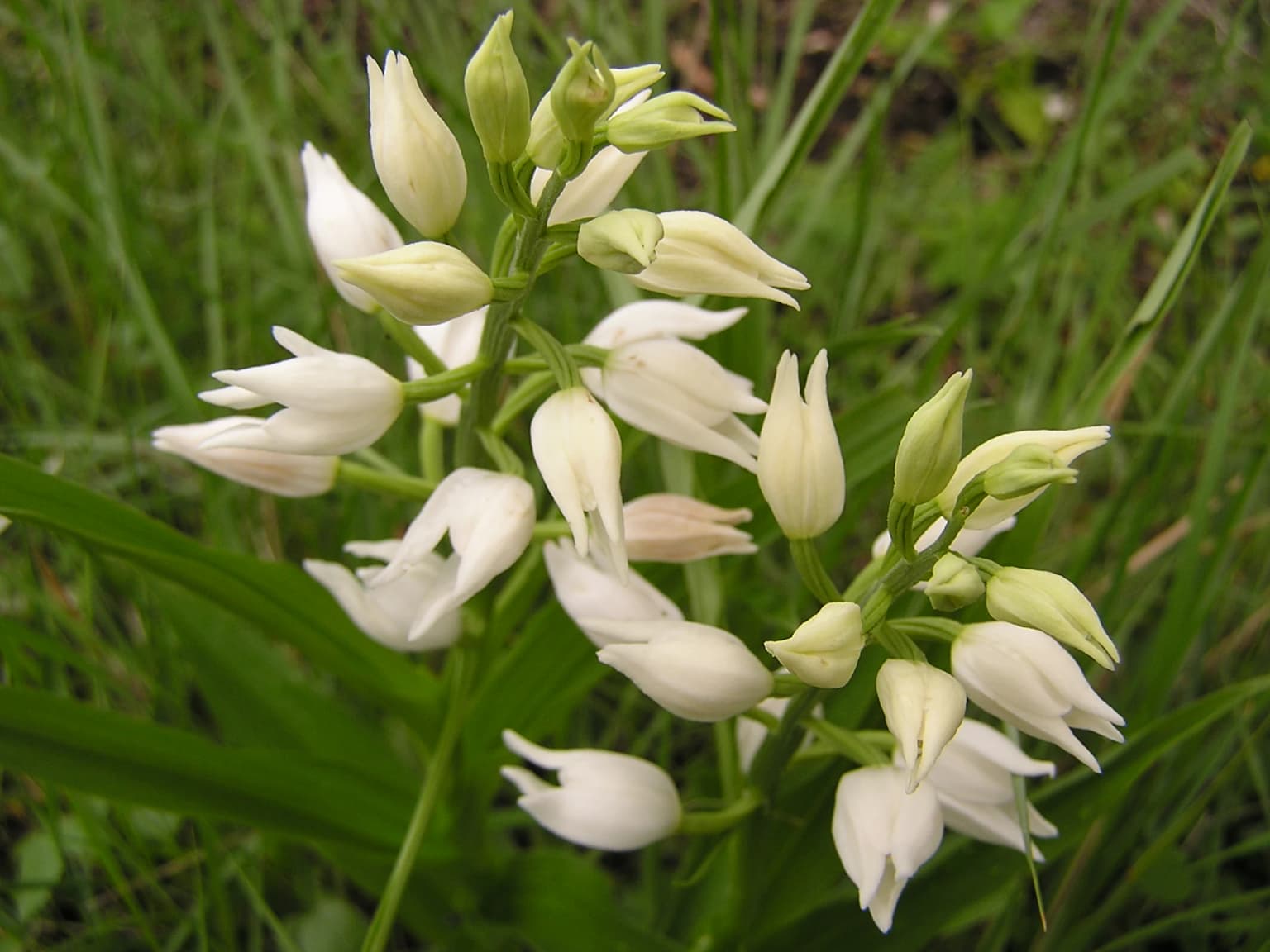
Arrábida Natural Park ecosystems, habitats, and plant life

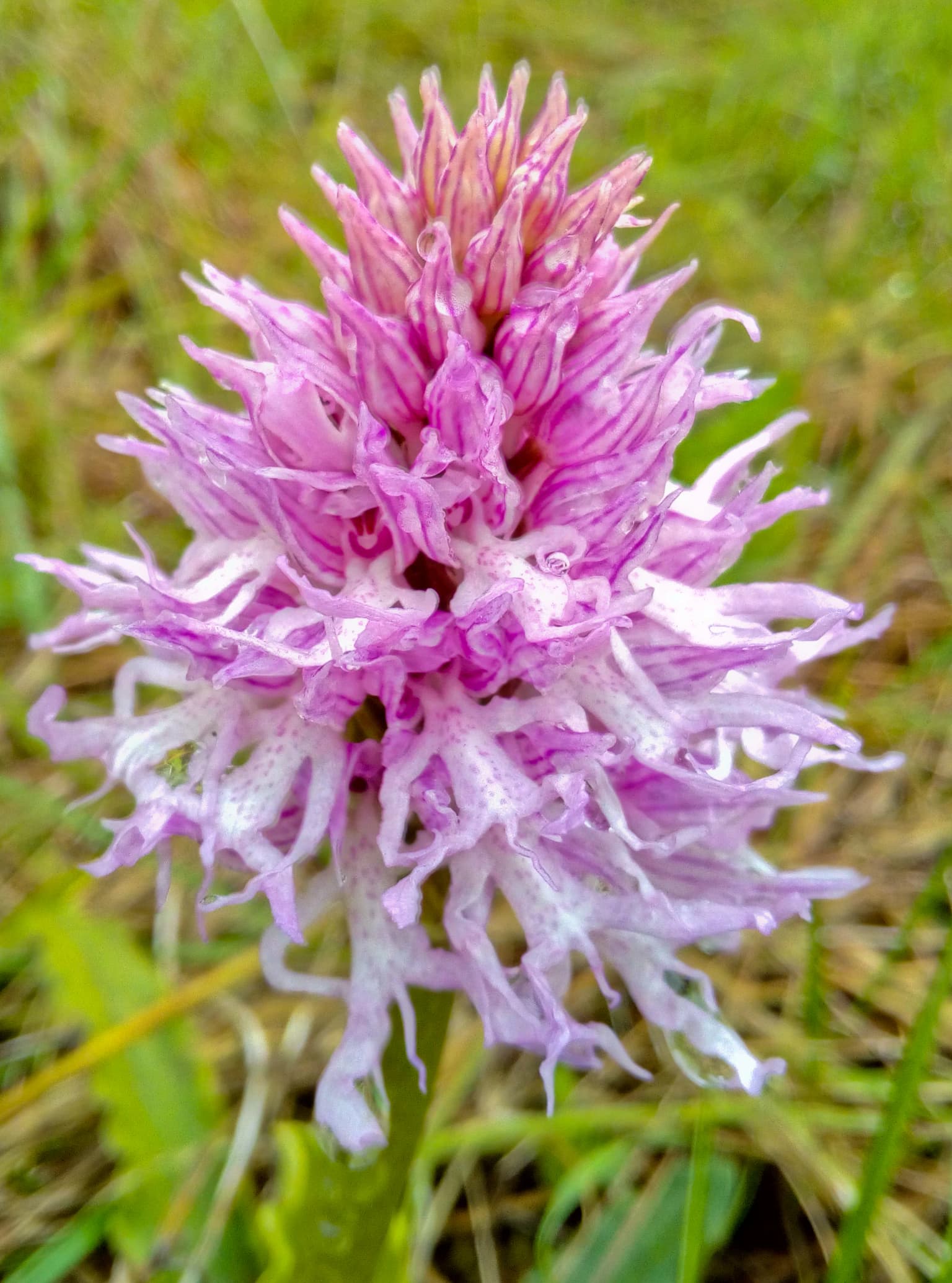
Arrábida Natural Park supports an exceptional diversity of habitats resulting from the convergence of Mediterranean and Atlantic climatic influences across varied terrain. The park contains 42 types and subtypes of vegetation habitats, of which ten are prioritized as important for conservation. The vegetation is organized around three convergent floral elements: Euro-Atlantic vegetation dominating north-facing slopes in cooler, humid, or shaded areas; Mediterranean vegetation occupying south-facing exposures in warmer, drier conditions; and Macaronesian vegetation along the maritime cliffs and coastal walls. This ecological mixing creates a complex mosaic where evergreen, deciduous, and semi-deciduous trees occur in close association. The park preserves some of the last vestiges of Mediterranean vegetation in Portugal and was included early in conservation planning to preserve these ecosystems. Notable habitat types include Atlantic and Mediterranean coastal dune systems with herbaceous vegetation and pine forests of stone pine and maritime pine, Mediterranean arborescent thickets of bay laurel, calcareous grasslands, and temperate alluvial forests of common alder and European ash. The marine environment contributes significantly to the park's biodiversity, with approximately 1400 registered marine species inhabiting the waters around Arrábida and Cape Espichel, making it a genuine biodiversity hotspot.

Arrábida Natural Park wildlife and species highlights

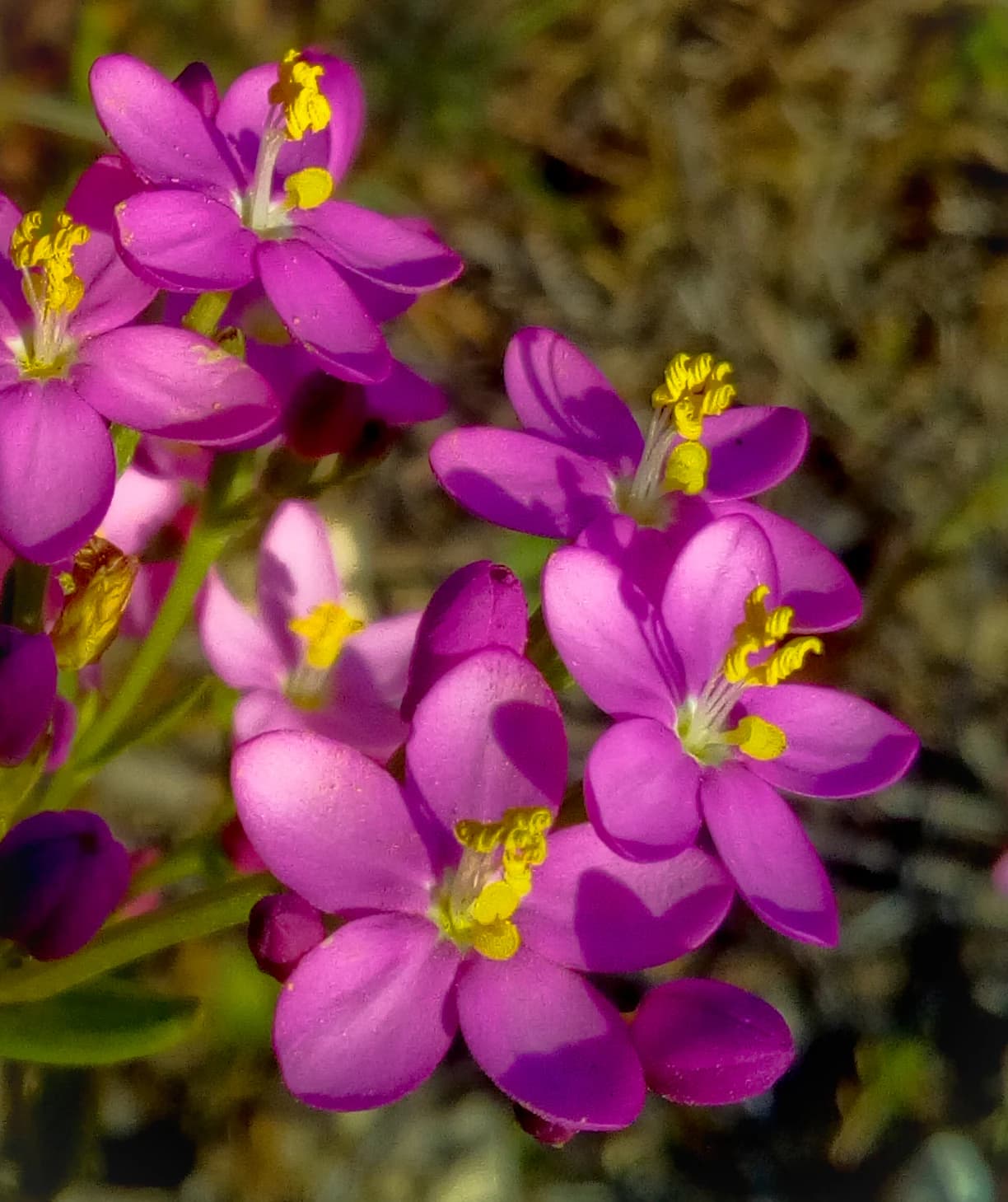
The terrestrial fauna of Arrábida Natural Park includes 213 vertebrate species distributed across 8 amphibians, 16 reptiles, 154 birds, and 35 mammals. This vertebrate diversity is complemented by the exceptional marine biodiversity, with around 1400 species recorded in the park's waters. The park's position along the coast and its variety of habitats make it significant for birdlife, with the coastal cliffs at Cape Espichel serving as important nesting areas for marine birds. The Macaronesian vegetation on the coastal cliffs also supports nesting species of maritime and raptor birds protected by international convention. Among the notable species present is the Portuguese endemic Ulex densus, a dwarf gorse that is one of the few places in Portugal where this plant occurs. The mammalian fauna includes species such as the red fox, while the reptile and amphibian communities reflect the Mediterranean character of the park. The marine environment supports diverse communities including species associated with the rocky substrates and coastal waters, with the 1998 expansion of marine protection specifically addressing the conservation of marine flora and fauna around Cape Espichel.

Arrábida Natural Park conservation status and protection priorities

Arrábida Natural Park holds significant conservation value at both national and international levels, reflected in its recent designation as a UNESCO biosphere reserve in 2025. The park's classification as IUCN Category V identifies it as a protected landscape where human activities are integrated with nature conservation. The area was recognized early for its importance, with the protection process beginning in the 1940s and culminating in formal protection in 1971 and 1976. The conservation framework addresses both terrestrial and marine environments, with the 1998 reclassification specifically expanding coastal and marine protection through the Arrábida-Espichel Marine Area. The park's 42 habitat types include ten that are prioritized for conservation, demonstrating the ecological significance of the area. The protection of the coastal cliffs at Cape Espichel preserves both endemic flora species and important seabird nesting areas, while also maintaining access to paleontological sites containing dinosaur fossil deposits. The integration of geological, ecological, and cultural conservation objectives reflects a comprehensive approach to landscape protection that recognizes the interconnections between natural and cultural values.

Arrábida Natural Park cultural meaning and human context

The cultural landscape of Arrábida Natural Park is exemplified by the Convent of Our Lady of Arrábida, a 16th-century monastery that stands as a prominent landmark overlooking the coastal beaches. This former religious complex, surrounded by endemic natural vegetation, is now managed by the Fundação Oriente and represents the historical human presence in this dramatic landscape. The area has also gained international cultural visibility through its use as a filming location, most notably in the 1969 James Bond film On Her Majesty's Secret Service, where a stretch of road within the park was the scene of the dramatic shooting that kills Tracy Bond at the film's conclusion. The park also appears in the video game Tom Clancy's Endwar as a theater of conflict in a fictional World War III scenario. These cultural associations add layers of recognition beyond the park's natural and ecological significance, connecting the landscape to broader cultural narratives and popular media.

Top sights and standout views in Arrábida Natural Park

Arrábida Natural Park stands out for its dramatic convergence of Mediterranean-type limestone mountains with the Atlantic Ocean, creating a landscape unlike anywhere else on the Portuguese coast. The park's three popular beachesperhaps its most recognizable feature among visitors from Lisbon and Setúbalinclude Galapinhos, Portinho da Arrábida, and Figueirinha, each offering distinct coastal experiences against the backdrop of white limestone cliffs. The Convent of Our Lady of Arrábida, perched on the slopes above the beaches since the 16th century, provides both historical depth and panoramic viewpoints. The geological significance is exceptional, with Jurassic-era limestone formations, karst cave systems including Gruta do Frade, and paleontological sites at Cape Espichel yielding dinosaur fossils. The 2025 UNESCO biosphere reserve designation recognizes the park's successful integration of terrestrial and marine conservation with sustainable use. The park's biodiversity is substantial, with 42 habitat types and 1400 marine species in its waters, supported by the meeting of Atlantic and Mediterranean influences.

Best time to visit Arrábida Natural Park

Arrábida Natural Park can be visited year-round, though the Mediterranean climate shapes the experience across seasons. The summer months from June through September bring warm, dry conditions typical of the Mediterranean, with August temperatures averaging 24-28°C during the day. This is the peak season for beach visits, with the park's three popular beaches receiving their highest use by visitors from Lisbon and Setúbal. However, summer also brings morning and evening fogs, particularly around Cape Espachel, created by upwelling in the cooler Atlantic waters. The winter months from November through February offer milder temperatures averaging 13-15°C during the day and considerably fewer visitors, making this an ideal time for those seeking a quieter experience of the park's landscapes and hiking trails. The winter period also brings the highest precipitation, with November and December typically receiving the most rainfall as humid Atlantic air masses encounter the mountains. The spring and autumn seasons offer moderate temperatures and changing conditions that may appeal to those interested in experiencing the park's seasonal transformations, though these shoulder seasons may present variable weather patterns.

Park location guide

Geography guide, regional context, and park location map for Arrábida Natural Park

Arrábida Natural Park park geography, regions, and map view in Portugal
Understand where Arrábida Natural Park sits in Portugal through a broader geographic reading of the surrounding landscape, nearby location context, and its mapped position within the national park landscape.

How Arrábida Natural Park fits into Portugal

Portugal is a developed European country on the western Iberian Peninsula. It features a coastline along the Atlantic Ocean, includes the autonomous regions of the Azores and Madeira, and is known for its maritime history during the Age of Discovery. The country has a population of over 10.7 million and operates as a semi-presidential republic with Portuguese as its official language.

Wider geography shaping Arrábida Natural Park in Portugal

Portugal occupies the western portion of the Iberian Peninsula in Southwestern Europe. The mainland borders Spain to the north and east, while the autonomous regions of Madeira and the Azores are situated in the Atlantic Ocean. The country includes Cabo da Roca, the westernmost point in continental Europe. The terrain varies from plains in the south to mountainous regions in the north.

Map view of Arrábida Natural Park

Use this park location map to pinpoint Arrábida Natural Park in Portugal, understand its exact geographic position, and read its mapped placement within the surrounding landscape more clearly.

Pigeon | © OpenStreetMap contributors

Location context for Arrábida Natural Park

Setúbal District
Park atlas

Trace Portugal's diverse protected landscapes, comparing coastal environments and mountain parks surrounding Arrábida.

Explore More Protected Areas Near Arrábida Natural Park in Portugal's Coastal Landscape
Discover other national parks and protected areas situated near Arrábida Natural Park, spanning various coastal and inland landscapes across Portugal. Compare their unique geological formations, marine environments, and conservation statuses to gain a comprehensive understanding of regional protected area geography.
Watercolor painting showing rolling coastal hills with green vegetation, a body of water, and distant mountains under a light sky
Protected landscapeLisbon District

Sintra-Cascais Natural Park: Mapped Protected Landscape in Lisbon District, Portugal

Explore Atlantic coast geography and historic palatial terrain.

The Sintra-Cascais Natural Park is a designated protected landscape in Portugal's Lisbon District, renowned for its fusion of natural beauty and historical architecture. This page offers an atlas-style exploration of its mapped boundaries, showcasing the unique Serra de Sintra mountain range meeting the Atlantic coast. Discover the protected area's geographic features, from its lush forested slopes crowned with iconic palaces to the dramatic cliffs and beaches of Cabo da Roca, providing essential context for understanding this distinctive Portuguese natural landscape.

Area
144.51 km²
Established
1981
IUCN
V
Visitors
43.5K annual
Watercolor illustration of a landscape with rolling hills, a body of water, and vegetation
Protected landscapePortugal

Aire and Candeeiros Ranges Natural Park: Protected Landscape and Regional Geographic Context

Explore the mapped boundaries and natural landscape of this Portuguese protected area.

Understand the Aire and Candeeiros Ranges Natural Park as a key protected landscape in Portugal. This page offers detailed geographic information, focusing on the park's mapped boundaries and its intrinsic connection to the surrounding regional geography. It serves as a portal for atlas exploration, providing structured data for users interested in the specific protected area and its landscape characteristics within the Iberian Peninsula.

Area
383.93 km²
Established
1979
IUCN
V
Visitors
31.9K annual
Protected landscapeAlentejo Litoral

Southwest Alentejo and Vicentine Coast Natural Park: A Protected Landscape in Alentejo Litoral

Explore its mapped boundaries and regional geographic context.

This detail page offers a deep dive into the Southwest Alentejo and Vicentine Coast Natural Park, a protected landscape situated in Portugal's Alentejo Litoral region. Understand the park's identity as a protected area through its geographic features and mapped extent. MoriAtlas facilitates a structured understanding of this natural landscape, enabling focused discovery of its protected boundaries and regional geographical significance.

Area
895.7 km²
Established
1988
IUCN
V
Visitors
12.7K annual
Watercolor illustration showing a river flowing through a valley with hills and vegetation
Protected landscapeBeja District

Guadiana Valley Natural Park: Protected Landscape Discovery in Beja District

Explore its mapped geography and protected land context.

Guadiana Valley Natural Park is identified as a protected landscape, providing a specific focus for geographic study and map-based exploration. This entry details the park's unique protected-area status and its contextual placement within the expansive Beja District of southern Portugal. Understand the mapped boundaries and landscape features that define this area, serving as a key point for regional geographic understanding on MoriAtlas.

Area
697 km²
Established
1995
IUCN
V
Visitors
749 annual
Watercolor illustration of a landscape with green hills, scattered trees, and distant mountains under a pink and yellow sky
Protected landscapePortalegre District

Serra de São Mamede Natural Park: A Protected Landscape Defined by Ecological Transition

Explore the unique mountain terrain and ecosystems of Portalegre District.

Delve into the geographic and ecological identity of Serra de São Mamede Natural Park, a significant protected landscape situated in Portugal's Portalegre District. This area is renowned for its dramatic quartzite ridges and its role as a crucial meeting point for Atlantic and Mediterranean plant communities, offering a unique atlas perspective on regional biodiversity. Examining its mapped boundaries and diverse terrain provides essential context for understanding its ecological importance and its distinct position within the Alentejo region's geography.

Area
560.6 km²
Established
1989
IUCN
V
Visitors
4.5K annual
Protected landscapeAlgarve

Ria Formosa Natural Park Protected Landscape: Algarve Regional Geography

Explore mapped protected landscapes and regional geographic context.

Examine Ria Formosa Natural Park, a protected landscape that defines a significant portion of the Algarve's natural heritage. This atlas-focused exploration details the park's geographic features, its protected status, and its position within the wider regional geography. Understand the mapped extent of this protected landscape and its contribution to the natural context of southern Portugal.

Area
179.01 km²
Established
1978
IUCN
V
Relief
Lowland
Watercolor illustration of a landscape with green mountains, a body of water, and colorful wildflowers in the foreground
Nature reservePortugal

Serra da Estrela Natural Park: Glacial Terrain and Highest Peaks in Portugal

Explore the dramatic geography of this nature reserve.

Serra da Estrela Natural Park is a significant protected landscape in Portugal, celebrated for containing the nation's highest peak and exceptional Quaternary glacial formations. The park's terrain includes dramatic valleys carved by ice, numerous glacial lakes, and a stark alpine plateau around Torre. This nature reserve preserves a unique environment shaped by both geological history and traditional pastoralism, offering rich mapped context for understanding Portugal's mountainous geography and protected areas.

Area
891.32 km²
Established
1976
IUCN
V
Visitors
7.6K annual
National parkHuelva

Doñana National Park National Park: Mapped Geography and Protected Landscape Context

Explore Huelva's key protected area and its regional geographic setting.

Delve into the structured geographic data and mapped boundaries of Doñana National Park. This entry highlights its identity as a national park within the Huelva region, providing essential context for understanding its protected landscape. MoriAtlas offers this detail to facilitate a clear, atlas-driven exploration of its natural terrain and its place in the broader geographic framework of Spain.

Area
543 km²
Established
1969
IUCN
II
Visitors
376.3K annual

Common questions about visiting, size, designation, and location context for Arrábida Natural Park

Arrábida Natural Park FAQs for park facts, access, geography, and protected area context
Find quick answers about Arrábida Natural Park, including protected-area facts, park geography, trail and visitor context, and how the park fits into its surrounding country and regional landscape.
MoriAtlas Explorer

Continue Your Protected Areas Search Across the Global Atlas

Deepen your exploration by continuing the structured search for national parks and protected areas worldwide. Utilize the comprehensive filtering capabilities to compare different conservation landscapes and refine your understanding of global park geography. Discover more about the distribution and characteristics of protected natural areas.

Global natural geography