Southwest
Limpopo National Park
Explore its mapped boundaries and transfrontier park significance.
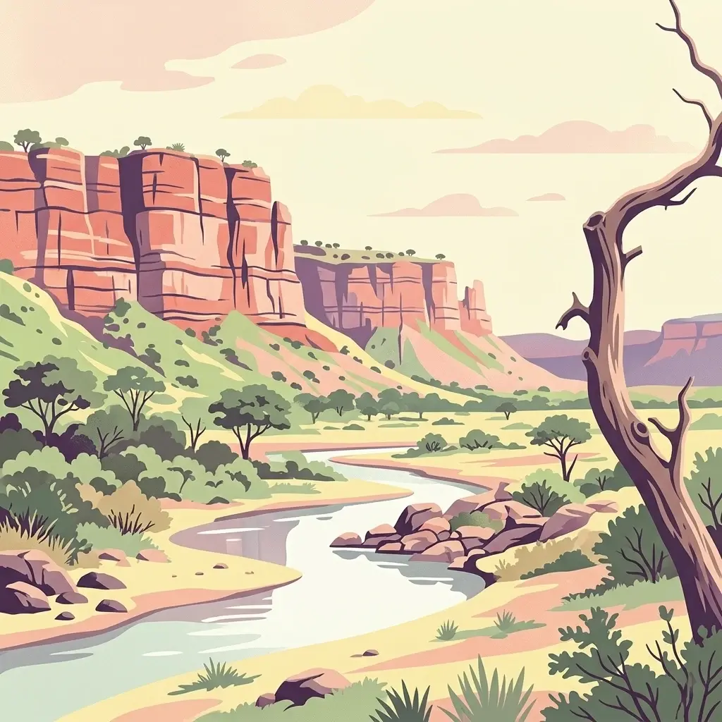
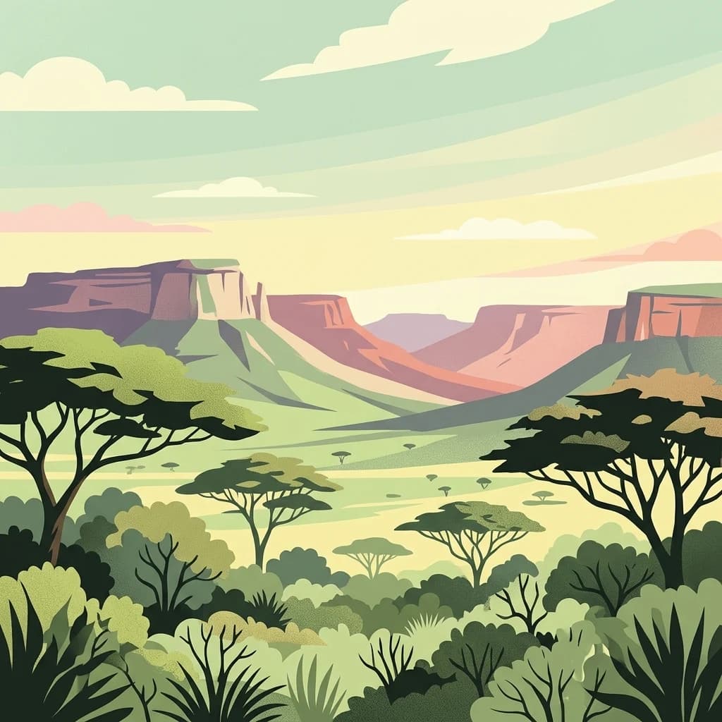
Limpopo National Park, in Mozambique. Landscapes: grasslands, rivers, and lakes.
- Area
- 10,000 km²
- Established
- 2002
- IUCN
- II
- Relief
- Lowland
Geographic overview of surrounding protected areas and regional conservation zones
Examine the regional distribution of protected lands and conservation zones located within proximity to Banhine National Park. This geographic overview highlights neighboring parks and wetlands across Gaza Province, providing context for the wider savanna and transfrontier landscape character of the region.
Related tags
Vast wetland sanctuary in southern Africa's Great Limpopo Transfrontier landscape
Banhine National Park is a sprawling protected area spanning 7,250 square kilometers in northern Gaza Province, Mozambique. Established on June 26, 1973, the park encompasses extensive inland wetlands that serve as a critical water source for the surrounding semi-arid lands. Despite receiving only about 430 millimeters of rainfall annually, the park contains over one percent wetland coverage and more than a thousand scattered pans ranging from modest depressions to hundreds of hectares in size. The park lies in an area of sparse human population but supports significant ecological diversity, forming part of the Great Limpopo Transfrontier Park network that links protected areas across Mozambique, Zimbabwe, and South Africa.
See the ranked park cluster in its geographic setting
Distance-ranked regional park geography and surrounding protected landscapes
Southwest
Explore its mapped boundaries and transfrontier park significance.
Limpopo National Park, in Mozambique. Landscapes: grasslands, rivers, and lakes.

Southwest
Explore savanna landscapes and mapped protected area boundaries.
Savanna, riverine forests, and mopane woodlands in South Africa provide habitat for elephants, lions, leopards, rhinos, and buffalo.
Northeast
Explore its mapped terrain, riverine forests, and savanna ecosystems.
Zinave National Park in Mozambique is a significant protected area spanning 4,000 square kilometers. Its landscape comprises a rich variety of ecosystems, including miombo woodlands, mopane-dominated areas, acacia savannas, and distinct riverine forests along the Save River. This national park is strategically positioned within the Greater Limpopo Transfrontier Park, highlighting its importance for regional wildlife corridors and conservation geography. The terrain offers a unique insight into the transitional ecological zones of southern Africa, showcasing diverse natural habitats and mapping potential for its protected boundaries.

Northwest
Explore mapped boundaries and regional geography
Gonarezhou National Park represents a significant protected area within the geography of Masvingo Province, Zimbabwe. This page details its specific mapped boundaries and landscape context, offering a focused view for atlas-based exploration. Understand the park's natural terrain and its positioning within the regional protected lands for comprehensive geographic discovery.

Southwest
Savanna bushveld geography in Mpumalanga, South Africa
Spanning over 534 square kilometres, Timbavati Private Nature Reserve provides a crucial habitat mosaic within the Mpumalanga region. The area is defined by its pioneering unfenced conservation model, linking private land with the Greater Kruger National Park to protect a broad spectrum of woodland habitats and diverse savanna ecosystems.

Southwest
Integrated conservation across savanna, canyon, and montane ecosystems
Covering the stretch between the Letaba and Sabie Rivers, this biosphere reserve serves as a vital conservation landscape in South Africa. Its unique geography captures the transition from rugged escarpment cliffs to open bushveld, showcasing a high density of protected land and biodiversity. Use this map-oriented resource to understand the structural role of the biosphere as a model for landscape-scale environmental management and its geographic placement within the Limpopo province.
West
A study of river confluence and woodland ecosystems in South Africa
Nwanedi Provincial Park sits at the meeting point of the Nwanedi and Luphephe Rivers in the far north of Limpopo province. This protected area features a mosaic of habitats, ranging from mountain foothills and rocky ridgelines to sheltered riverine woodlands. The presence of twin dams provides a consistent water source for the surrounding lowveld, creating a significant ecological intersection that serves as a focal point for regional biodiversity and natural terrain mapping.

Southwest
An open-system wilderness integral to the Greater Kruger ecological network.
Explore the geographic identity of Balule Nature Reserve, a vast protected area in South Africa characterized by its integration with the Greater Kruger wilderness. The terrain encompasses a rich mix of mopane-dominated woodland, riverine forest along the Olifants River, and open subtropical bushveld that supports significant wildlife migrations.
Southwest
Ecological connectivity within the Mpumalanga conservation mosaic.
Manyeleti Game Reserve offers significant insights into the Lowveld landscape of Mpumalanga. Known for its unfenced connection to neighboring wildlife areas, the reserve provides a case study in contiguous protected land management and bushveld geography that sustains large mammal populations across regional boundaries.

Southwest
Mapping riparian corridors and savanna ecosystems in eastern South Africa
Sabi Sand Game Reserve provides a foundational study in private conservation landscapes, situated within the Lowveld of Mpumalanga. The reserve is uniquely defined by the Sand and Sabie Rivers, which sculpt the local terrain and support diverse riparian habitats. This atlas-focused entry examines the reserve as a complex, unfenced entity adjacent to Kruger National Park, highlighting its role in regional conservation geography and the spatial distribution of its renowned private concessions.
Southwest
Explore the diverse terrain and riverine ecosystems of this South African wildlife reserve
Kapama Game Reserve sits within the Limpopo Lowveld, featuring a complex mix of open savanna, mixed bushveld, and dense riverine corridors shaped by the Blyde River. This record provides a detailed look at the reserve as a functional piece of the greater regional conservation landscape, highlighting its topography and its role in protecting South Africa's native habitat.

Southwest
Mapped savanna corridors and riverine ecological zones
Located in the Limpopo province of South Africa, Thornybush Game Reserve is an essential private wildlife area known for its open savanna and rich riparian vegetation. By maintaining an unfenced boundary with the neighboring national park, it acts as a critical extension of the Greater Kruger wilderness. This entry details its geographical scope, terrain features, and its function as a managed, integrated component of the regional conservation landscape.

Northeast
Explore geographic boundaries and atlas context.
Gain structured insight into Bazaruto Archipelago National Park, a significant protected national park located off the coast of Mozambique. This page provides a detailed geographic perspective, highlighting the park's mapped boundaries and its importance within the regional landscape. Understand its protected area status and how it fits into the broader atlas of Mozambique's natural heritage for focused geographic discovery.

Southwest
Mapping river-carved canyons and plateau ecosystems in Mpumalanga
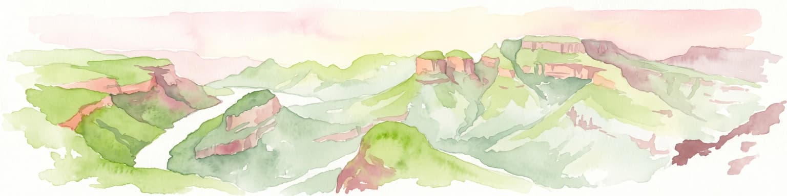
Blyde River Canyon Nature Reserve protects a vast stretch of the Mpumalanga Drakensberg, characterized by vertical cliffs, rocky massifs, and deep river gorges. This atlas-focused resource highlights the reserve's geological landmarks, including the Three Rondavels and Bourke's Luck Potholes, offering a clear view of the complex terrain and protected natural boundaries defining this northeastern South African landscape.
Southwest
Mapping the diverse Afromontane ecosystems of the Limpopo escarpment
Wolkberg Wilderness Area protects a high-altitude transition zone in South Africa, where quartzite massifs rise sharply above the surrounding plains. This reserve features a rugged, low-infrastructure environment defined by mist-influenced forests, clean mountain rivers, and steep boulder slopes. Analyze the geographic boundaries and terrain features that make this reserve a critical sanctuary for regional bird species and forest-loving plant communities.

North
A study of montane mountain terrain and transfrontier conservation geography.
Chimanimani National Park encompasses one of southern Africa's most distinctive mountain environments, where sharp ridges and deep valleys support exceptional plant endemism. The protected area forms a significant mountainous corridor within the Eastern Highlands, offering a structured look at how elevation influences local Afromontane ecology and broader landscape connectivity.

West
Explore Limpopo's unique protected area at the three-nation border.
Mapungubwe National Park, in Limpopo, South Africa. Landscapes: rivers, woodlands, and wetlands.

North
Mountain wilderness and transfrontier conservation in Manica Province
Investigate the complex topography of Chimanimani National Park, where the rugged Chimanimani Mountains create a unique highland ecosystem. This data-driven overview highlights the park's role as a major protected territory in eastern Mozambique, documenting its mountain ridges, expansive buffer zones, and role in cross-border conservation geography.
West
Limpopo Province, South Africa Wildlife Reserve
Mapesu Private Game Reserve serves as a significant conservation entity in South Africa, defined by undulating mopane plains and rocky outcrops. The reserve functions as an ecological extension of the neighbouring Mapungubwe World Heritage Site, safeguarding a mosaic of thirteen distinct plant communities and supporting a rich variety of mammal and avian populations in a remote, protected bushveld setting.
West
Mapped boundaries and natural habitat in northern South Africa
Spanning 2,800 hectares of grassy plains and bushveld, Polokwane Game Reserve serves as a critical municipal protected area near the urban core of Polokwane. This geographic overview highlights the reserve's unique eastern ridge flora, its chain of riverine waterholes, and the spatial distribution of its protected landscape within the Limpopo province.
Geographic measurements, not driving distances
Calculated between the nearest points of both park boundaries.
Estimated from one mapped park location to the nearest boundary of the other park.
Estimated between the mapped locations of both parks.
Further your understanding of Banhine National Park by examining its precise geographic placement and protected landscape characteristics. This destination offers deeper insights into the park's mapped boundaries and its role within the regional atlas of Gaza Province, Mozambique. Discover the foundational geographic data that defines this important national park.