Mori Atlas logo
Nearby park discovery

Geographic distribution of nearby protected areas and coastal environments

Regional Protected Landscapes and National Parks Near Calanques National Park

Explore the broader regional context of Calanques National Park by identifying surrounding protected lands, national parks, and coastal natural areas within Southern France. This atlas-based view facilitates the discovery of nearby geographic features and landscape boundaries, providing a clear perspective on the distribution of protected environments across the Mediterranean littoral.

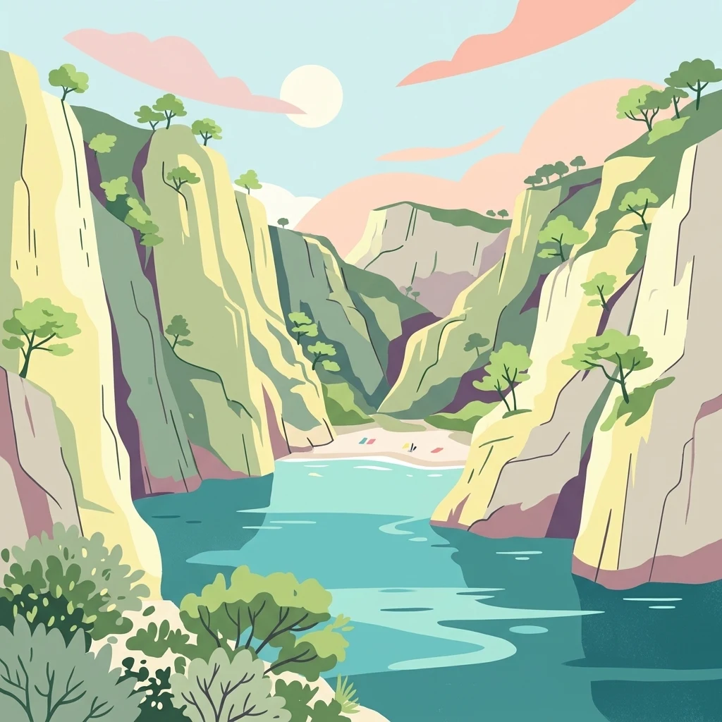
Illustration of limestone cliffs, turquoise water, and a small beach within a coastal calanque

Mediterranean limestone cliffs, coves, and marine ecosystems near Marseille

Calanques National Park

Calanques National Park is a French national park established in 2012 on the Mediterranean coast in the Bouches-du-Rhône department of Southern France. It encompasses the famous calanques—steep-walled limestone coves carved by erosion along the rugged littoral between Marseille, Cassis, and La Ciotat. The park covers approximately 520 square kilometers, of which 85 square kilometers is terrestrial land with the remaining area comprising marine environments. Notably, it is the first peri-urban national park in Europe that is both terrestrial and marine, situated immediately adjacent to France's third-largest city, Marseille. The park protects a landscape of dramatic white limestone cliffs descending into vivid blue Mediterranean waters, alongside islands, hidden beaches, and karst cave systems. Its cultural significance spans prehistoric human occupation dating back to the Lower Paleolithic, with the remarkable Cosquer Cave containing cave art from approximately 27,000 years ago.

Location
France
Park type
National park
Established
2012
Area
520 km²
Calanques National Park Protected Area
Regional park map

See the ranked park cluster in its geographic setting

Nearby parks around Calanques National Park

This regional map shows the same 20 nearby parks ranked below around Calanques National Park. Select a ranked marker to highlight that park’s boundary where boundary data is available.
Reference park: Calanques National ParkRanked nearby parkSelected boundary: Calanques National Park20 nearby parks shown
20 nearby parks

Explore distance-ranked protected landscapes and regional geography surrounding Calanques National Park.

Parks and Protected Areas Geographically Near Calanques National Park

Examine the ranked collection of nearby protected areas structured by geographic proximity and spatial separation from Calanques National Park. Compare recorded environmental characteristics and national context to understand surrounding regional park geography.
Nature reserveProvence-Alpes-Côte d'Azur
About 31 km away#1 closest

Northwest

Réserve naturelle régionale du Pourra - Domaine du Ranquet: Coastal Lagoon Protected Landscape

Regional Nature Reserve in Provence-Alpes-Côte d'Azur

Spanning over 300 hectares near Port-de-Bouc, this protected area preserves interconnected Mediterranean lagoons and surrounding marshlands. It offers a distinct geographic perspective on transitional coastal habitats situated within the heavily developed Bouches-du-Rhône department.

Area
3.153 km²
Established
2020
IUCN
IV
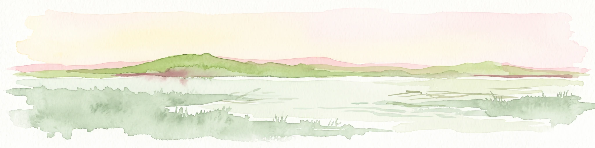
A horizontal watercolor illustration showing a marshy, grassy landscape with soft green and muted pink tones against a white background.
Regional parkProvence-Alpes-Côte d'Azur
31 km away#2 closest

Northwest

Parc naturel régional de Camargue: Mapping the Rhône Delta Protected Wetland Landscape

Regional park geography and wetland conservation zones

Parc naturel régional de Camargue is a sprawling protected landscape at the confluence of the Rhône and the Mediterranean. This regional park contains significant saline lagoons, coastal dunes, and fertile marshes that serve as a crucial site for waterbird migration. Understand the interplay between traditional salt-making, pastoral ranching, and the strictly protected nature reserves that shape this delta territory.

Area
856.9 km²
Established
1970
IUCN
V
Relief
Lowland
Marine protected areaFrance
41 km away#3 closest

East

Sanctuaire Pelagos Marine Protected Area: Mediterranean Geography and Seascape

A transboundary conservation zone spanning 87,500 square kilometers.

Sanctuaire Pelagos represents a unique collaborative effort in marine conservation across the Mediterranean. Spanning the waters between France, Italy, and Monaco, this protected maritime area is defined by its deep-sea canyons and nutrient-rich currents that sustain diverse cetacean populations. Its immense scale and international governance make it a focal point for understanding Mediterranean marine biodiversity and environmental policy.

Area
87,500 km²
Established
1999
IUCN
IV
Relief
Lowland
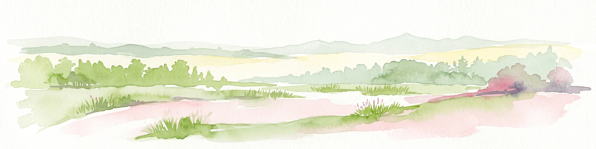
A soft watercolor illustration depicting layered rolling hills, distant mountain silhouettes, and clusters of trees in a pale color palette.
Regional parkProvence-Alpes-Côte d'Azur
42 km away#4 closest

North

Parc naturel régional du Luberon: Regional Park Boundaries and Protected Landscape Atlas

Geology, mountain ridges, and Mediterranean ecosystems of Provence

Parc naturel régional du Luberon serves as a vital protected corridor in southeastern France. The park features three parallel limestone massifs, dramatic ochre formations, and fossil-rich plateaus. Its geography offers a case study in integrating sustainable land use with rich biodiversity across the Vaucluse and Alpes-de-Haute-Provence departments.

Area
1,747.26 km²
Established
1977
IUCN
V
Visitors
350K annual
Nature reserveProvence-Alpes-Côte d'Azur
About 45 km away#5 closest

Northwest

Réserve naturelle régionale de la Poitevine-Regarde-Venir: Steppe Conservation and Geography

Protected dry steppe landscapes in the French Crau region

Delve into the geography of the Réserve naturelle régionale de la Poitevine-Regarde-Venir, a specialized nature reserve that safeguards the distinctive pebbly coussoul of the Crau plain. The area represents a fundamental piece of Mediterranean pastoral history, balancing fragile steppe ecosystems with traditional agricultural meadows.

Area
2.207 km²
Established
2009
IUCN
IV
A pale, minimalist watercolor painting showing a low-lying marshy peninsula extending into water, with distant hills on the horizon under a soft, light-filled sky.
Nature reserveVar
About 47 km away#6 closest

East

Salins d'Hyères Nature Reserve: Coastal Wetland Geography and Protected Landscape Context

Mapped salt pans and wetland habitats on the Var coast.

The Salins d'Hyères consist of a coastal wetland network of salt pans and marshes near the Giens peninsula. This area offers a unique glimpse into the geography of the Var department, where centuries of salt production have created a diverse ecosystem of hypersaline basins, dunes, and coastal pine forests.

Area
9 km²
Established
1983
IUCN
IV
Relief
Lowland
A watercolor illustration of a tranquil marshland scene with soft green and muted pink tones, depicting reeds, sparse trees, and calm water.
Nature reserveFrance
About 56 km away#7 closest

Northwest

Réserve naturelle régionale de la Tour du Valat: Mediterranean Wetland and Research Landscape Map

A critical protected area and ecological research estate in the Rhône delta of France.

Located in the Bouches-du-Rhône department, the Réserve naturelle régionale de la Tour du Valat serves as a reference point for Mediterranean wetland science. The reserve features an intricate landscape of marshes, salt meadows, and woodland patches that support diverse birdlife and habitats. This protected area demonstrates the integration of active pastoral land use with habitat management on a significant deltaic estate near Arles.

Area
18.44 km²
Established
2008
Relief
Lowland
Climate
Mediterranean
A wide watercolor painting showing a landscape with green trees and bushes in the midground, purple hills in the background, and a pinkish foreground.
Nature reserveProvence-Alpes-Côte d'Azur
61 km away#8 closest

East

Réserve naturelle nationale de la plaine des Maures: Protected Areas and Regional Landscape

Mediterranean habitats, cork oak forests, and temporary pool networks.

This nature reserve in the Var department protects a rare confluence of Mediterranean maquis, stone pines, and sandstone-based vernal pools. As a primary mainland habitat for the Hermann's tortoise, the area offers a significant study of lowland ecology and traditional Provençal land use within the broader Massif des Maures context.

Area
52.76 km²
Established
2009
IUCN
IV
Relief
Mixed relief
A horizontal watercolor painting depicting a soft-focus landscape of grassy wetlands in the foreground with gentle, rolling hills in the background.
Nature reserveProvence-Alpes-Côte d'Azur
About 62 km away#9 closest

Northwest

Réserve naturelle régionale de l'Ilon: Protected Wetland Atlas and Geographic Context

Mapping Mediterranean marshes in the Alpilles foothills.

Covering 176 hectares of diverse wetland habitat, Réserve naturelle régionale de l'Ilon preserves critical marshlands and floodable meadows. This site demonstrates the interplay between lowland water systems and the rocky Alpilles range, providing a essential refuge for diverse dragonfly and bird species within the heart of Provence.

Area
1.76 km²
Established
2012
IUCN
IV
Nature reserveProvence-Alpes-Côte d'Azur
About 62 km away#10 closest

North

Réserve naturelle nationale géologique du Luberon: Geological Atlas and Protected Park Sites

Mapping Cenozoic fossil sites and limestone terrains in Provence

This protected area consists of 28 scattered sites documenting life from the Cenozoic Era through fossil-rich limestone, marl basins, and ancient lake sediments. It serves as a vital reference for field research and earth sciences, featuring rare trace fossils and mammal trackways embedded within the wider Provençal countryside.

Area
3.12 km²
Established
1987
IUCN
III
Watercolor painting of a landscape with trees, hills, and a body of water
National parkFrance
About 65 km away#11 closest

East

Port-Cros National Park: French Mediterranean Island National Park & Marine Sanctuary

Discover mapped protected land and unique Mediterranean ecosystems.

Port-Cros National Park offers a glimpse into a pioneering model of integrated terrestrial and marine conservation within the Mediterranean. This park protects a distinctive island geography marked by rugged terrain, endemic species, and vital underwater habitats, including crucial posidonia meadows and rich marine life. Through MoriAtlas, explore the mapped boundaries and ecological significance of Port-Cros, understanding its role as a vital protected landscape in the European atlas.

Area
46 km²
Established
1963
IUCN
II
Visitors
1M annual
Nature reserveProvence-Alpes-Côte d'Azur
About 84 km away#12 closest

Northeast

Réserve naturelle régionale de Saint-Maurin: Geological Heritage in the Verdon Gorge

Travertine formations and cave habitats in Provence

Covering 25 hectares at the mouth of the Gorges du Verdon, this regional nature reserve protects a rare set of travertine terraces and tufa caves. Its geography creates a micro-refuge for specific cave-dwelling species and cliff-nesting raptors, standing as a significant example of geological and biological preservation in the Alpes-de-Haute-Provence department.

Area
0.248 km²
Established
2009
IUCN
IV
Relief
Upland
Watercolor painting of a marshy wetland scene with grassy foreground, scattered trees, and distant hills.
Nature reserveGard
About 84 km away#13 closest

Northwest

Réserve naturelle régionale du Scamandre: Mapped Boundaries and Wetland Geography in Gard

Protected marshlands and salt steppe in southern France.

Deep dive into the ecological layout of Réserve naturelle régionale du Scamandre. Situated in the Gard department, this protected site preserves a mosaic of prairie, sansouïre, and marshland, creating a high-density wetland corridor essential for regional biodiversity and landscape analysis.

Area
1.467 km²
Established
2006
IUCN
IV
Relief
Lowland
Nature reserveProvence-Alpes-Côte d'Azur
About 86 km away#14 closest

North

Réserve naturelle régionale Ermitage-Escampeaux: A Protected Landscape in the Vaucluse Department

Mapping regional nature reserves within inland Provence-Alpes-Côte d'Azur.

Located in the Villes-sur-Auzon commune, the Réserve naturelle régionale Ermitage-Escampeaux stands as a significant addition to the protected lands of Provence-Alpes-Côte d'Azur. This 252.9-hectare reserve offers a focused look at the transition between Mediterranean garrigue and the higher Provençal uplands, providing essential habitat conservation within a traditional rural mosaic.

Area
2.529 km²
Established
2026
IUCN
IV
A horizontal watercolor painting depicting a soft, washed-out landscape of wetlands with green vegetation, calm water, and gentle hills in the distance.
Nature reserveOccitanie
About 91 km away#15 closest

Northwest

Réserve naturelle régionale de Mahistre et Musette: Regional Nature Reserve and Wetland Atlas

Petite Camargue geography and protected marshland mosaic in Occitanie

Located in the Gard department of southern France, the Réserve naturelle régionale de Mahistre et Musette represents a successful case of wetland restoration. This protected area features a distinct landscape of reedbeds, saline flats, and ponds, providing critical habitat for numerous wetland species. Access detailed geographic context on how these restored marshes link to the broader Petit Camargue environmental network.

Area
2.616 km²
Established
1999
IUCN
IV
A soft watercolor painting of a winding river flowing through a gentle, rolling green valley with hills in the background.
Nature reserveOccitanie
About 102 km away#16 closest

Northwest

Réserve naturelle régionale des gorges du Gardon: Geography and Protected Area Overview

Mediterranean river valley and raptor conservation corridor

Examine the distinct topography of the Réserve naturelle régionale des gorges du Gardon. The protected area features steep limestone cliffs and a river corridor that sustains dense Mediterranean oak forests. This site remains a critical node for raptor conservation, specifically supporting nesting Egyptian vultures and Bonelli eagles within its structured valley geography.

Area
4.913 km²
Established
2007
IUCN
IV
A soft watercolor painting of a rolling hilly landscape with muted greens, yellows, and purples on a white background.
Nature reserveProvence-Alpes-Côte d'Azur
About 110 km away#17 closest

Northeast

Réserve naturelle géologique de Haute-Provence: Geological Protected Area and Map Atlas

Tracing fossil-rich outcrops across the French Pre-Alps regional landscape

Spanning 269 hectares, the Réserve naturelle géologique de Haute-Provence preserves iconic fossil sites like the Dalle aux Ammonites and diverse tectonic terrains. This repository offers insight into the reserve's unique sedimentary layers, folded mountain strata, and deeply incised river valleys that document prehistoric marine environments in France.

Area
2.69 km²
Established
1984
IUCN
III
Relief
Mountain
A soft watercolor painting of a coastal landscape with rolling hills, distant mountains, and green vegetation against a light sky.
Marine protected areaProvence-Alpes-Côte d'Azur
About 114 km away#18 closest

East

Parc maritime départemental Estérel-Théoule: Marine Protected Area and Coastal Geography

A vital Mediterranean corridor along the French Riviera coast

This marine protected area preserves a unique underwater mosaic where rocky shallows, sandy patches, and Posidonia seagrass meadows converge. Located offshore from the Estérel massif, the site provides a continuous conservation corridor between inland natural spaces and the Mediterranean Sea, offering insight into the littoral environment of the French Riviera.

Area
3.5 km²
Water
Water-dominated
Season
Seasonal
Watercolor painting of a low lying landscape with calm water, grassy wetlands in the foreground, and distant green hills under a soft sunset sky.
Protected areaHérault
About 119 km away#19 closest

West

Salins de Frontignan: An Atlas of Protected Coastal Wetlands in the Hérault Region

Explore saline landscapes and marshland geography on the Gulf of Lion.

Located in the Hérault department, Salins de Frontignan offers a fascinating study in coastal geography and ecological reclamation. This protected area features abandoned salt marshes that have evolved into a vital network of evaporation basins, salt steppes, and lagoon margins. The site serves as a crucial habitat for specialized halophytic plants, positioned uniquely between the Mediterranean shoreline and the limestone foothills of the Gardiole range.

Area
2.795 km²
Established
1980
IUCN
IV
Relief
Lowland
Watercolor painting of a park landscape with a foreground pond, grassy areas, and rolling hills in the background.
State or regional parkProvence-Alpes-Côte d'Azur
131 km away#20 closest

East

Parc de Vaugrenier: Regional Protected Area and Archaeological Landscape in France

Wetland habitats and historic trails in Alpes-Maritimes

Parc de Vaugrenier protects a diverse hundred-hectare expanse between Antibes and Villeneuve-Loubet. Its terrain bridges Mediterranean woodland and lush freshwater meadows, distinguished by a rare collection of exotic trees and remnants of the ancient Via Julia Augusta. This park provides a quiet geographic contrast to the surrounding coastal urbanization of the French Riviera.

Area
1 km²
Established
1995
Visitors
500K annual
Relief
Lowland
Distance methodology

Geographic measurements, not driving distances

How nearby park distances are calculated

Distances use park boundaries whenever the available geometry allows it. When one or both boundaries are missing, the mapped park locations provide a clearly labelled estimate. Every value represents straight-line geographic separation and does not use roads or routing.

Boundary distance

Calculated between the nearest points of both park boundaries.

Location-to-boundary estimate

Estimated from one mapped park location to the nearest boundary of the other park.

Mapped-location estimate

Estimated between the mapped locations of both parks.

MoriAtlas Explorer

Continue Exploring Calanques National Park's Geography and Map Context

Delve deeper into the protected landscape of Calanques National Park. Examine its specific geographic features, mapped boundaries, and its place within the regional context of Bouches-du-Rhône. This atlas exploration aims to provide a structured understanding of this significant national park and its unique Mediterranean environment, facilitating broader discovery of protected areas.