Mori Atlas logo
Park earthquake history

A historical record of seismic events filtered by proximity to the park landscape

Recorded Earthquake History and Seismic Activity Near Conguillío National Park

Access a detailed catalogue of historical earthquakes recorded near Conguillío National Park in the La Araucanía Region of Chile. This dataset provides structured information regarding event dates, magnitude scales, and hypocentre depths, allowing users to trace seismic records based on their proximity to the protected area boundaries. The registry supports geographic analysis of regional seismic patterns by mapping reported epicentre locations relative to the park terrain.

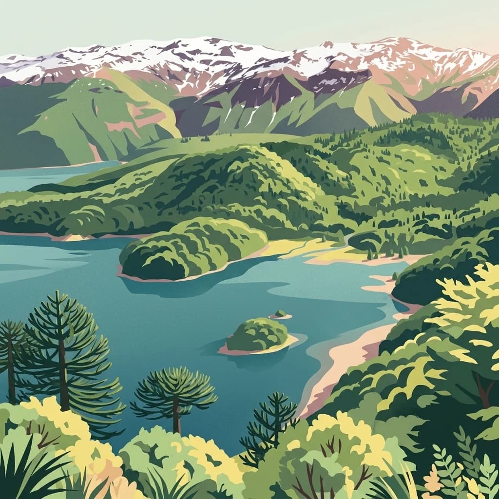
A digital illustration showing a panoramic view of a blue lake surrounded by dense green forests and distant snow-dusted mountains, with several araucaria trees visible in the foreground.

Volcanic landscapes of the Chilean Andes crowned with ancient araucaria forests

Conguillío National Park

Conguillío National Park is a protected area in the Chilean Andes, located in the Araucanía Region of south-central Chile. The park encompasses approximately 608 square kilometers of dramatic volcanic terrain, dense forests, and alpine landscapes centered around the iconic Conguillío Lake. Its name derives from the Mapudungun language, meaning "water with araucaria seeds," reflecting the park's defining feature: the ancient monkey puzzle trees that dominate its forests. The park is part of the UNESCO-designated Araucarias Biosphere Reserve and the Kütralkura Geopark, recognizing its exceptional geological and ecological significance within the Global Geoparks Network.

Location
Chile
Park type
National park
Established
1950
Area
608 km²
Conguillío National Park Protected Landscape

Inspect Conguillío National Park dates, magnitudes, depths, and park distances

Review recorded earthquakes around Conguillío National Park

Conguillío National Park is associated with earthquakes through epicentres and distance, a spatial relationship rather than a boundary claim. The catalogue preserves dates, magnitudes, depths, place descriptions, distance measurements, and source links without assigning volcanic cause, asserting lake or forest effects, describing current danger, or forecasting conditions.

Sort by
Magnitude
Location

This page describes catalogued earthquakes associated with the park by epicentre location and distance. It does not establish causation, assess current danger, or predict future earthquakes.

No earthquake records match the current filters

Park atlas

Expand discovery beyond the Conguillío National Park earthquake catalogue

Find more protected parks after Conguillío National Park

Conguillío National Park covers 608 km² of Chilean mountains, valleys, forest, lakes, rivers, waterfalls, and volcanic terrain up to 3,150 metres. Related destinations have separate earthquake evidence and should not inherit volcanic causation, effects, hazard, or prediction.
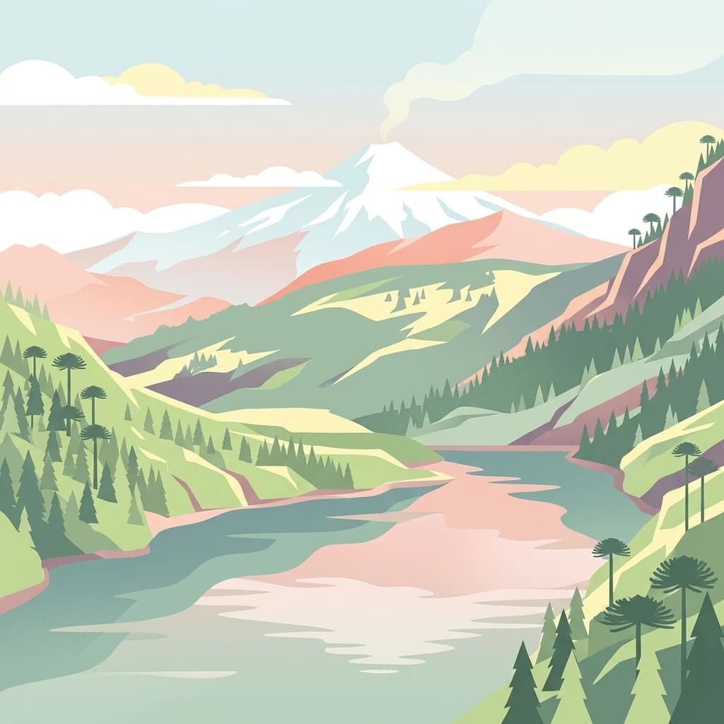
An artistic, flat-style digital illustration of a mountainous landscape with a lake in the foreground, surrounded by evergreen forests and distinct umbrella-shaped monkey puzzle trees, with a smoking snow-capped volcano in the distance.
National parkLa Araucanía Region
29 km away#1 closest

South

Huerquehue National Park: Ancient Araucaria Forests and Glacial Lakes in La Araucanía

Mapped protected area in the Andean foothills of Southern Chile.

Delve into the protected landscape of Huerquehue National Park, a key component of Chile's southern conservation efforts within the La Araucanía Region. This national park is defined by its ancient araucaria forests, home to the iconic monkey puzzle tree, and a network of clear glacial lakes including Tinquilco Lake. Its mountainous terrain, rising from 720 to 2,000 meters, showcases a vital representative of the Andean-Patagonian forest ecosystem, offering rich context for map exploration and understanding protected-area geography.

Area
125 km²
Established
1967
IUCN
II
Visitors
35.5K annual
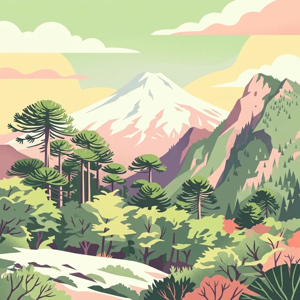
Stylized digital illustration showing a snow-capped mountain overlooking a lake surrounded by an araucaria forest in a soft pastel color palette.
National parkChile
30 km away#2 closest

North

Tolhuaca National Park National Park: Mapped Boundaries and Chilean Geography

Explore the protected landscape and regional context of this park.

Tolhuaca National Park is a protected national park located in Chile, offering a distinct point for geographic and landscape discovery. This detailed view focuses on the park's mapped boundaries, its environmental setting within Chile, and its overall protected-area identity. Engage with structured data that clarifies its position in the broader atlas of natural landscapes, providing context for regional geography and conservation efforts.

Area
64.74 km²
Established
1935
IUCN
II
Visitors
6.5K annual
National parkNeuquén Province
42 km away#3 closest

South

Lanín National Park

Explore the protected area's mapped terrain and glacial lakes.

Lanín National Park, in Neuquén Province, Argentina. Landscapes: mountains, forests, and lakes.

Area
3,790 km²
Established
1937
IUCN
II
Relief
Mountain
A stylized illustration of a snow-capped volcanic peak towering above a dense forest of Monkey Puzzle trees under a pastel sky.
National parkLa Araucanía Region
57 km away#4 closest

South

Villarrica National Park: Chile's Protected Landscape in La Araucanía Region

Mapped boundaries and regional geography exploration

Villarrica National Park represents a crucial protected area within the diverse geography of Chile's La Araucanía Region. This atlas-focused entry provides detailed geographic context and mapped park boundaries, essential for understanding the park's landscape identity. Explore the foundational elements of this national park for structured geographic discovery.

Area
630 km²
Established
1940
IUCN
II
Visitors
115.8K annual
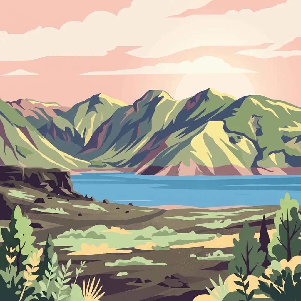
A digital illustration showing a bright, stylized sunset over a calm lake with low-lying steppe vegetation in the foreground and a flat-topped mountain in the background.
National parkNeuquén Province
103 km away#5 closest

East

Laguna Blanca National Park: National Park in Neuquén Province, Patagonia

Mapped protected area and regional landscape context.

Laguna Blanca National Park represents a key protected landscape within the expansive geography of Neuquén Province, located in the Patagonia region of Argentina. This national park entity serves as a critical node for atlas exploration, allowing users to understand its specific protected boundaries and its contribution to the regional protected-area network. Investigate Laguna Blanca National Park to gain insight into its unique geographic setting and its role within the mapped natural areas of Western Argentina.

Area
112.5 km²
Established
1940
IUCN
II
Relief
Upland
A stylized digital illustration of a mountainous landscape with a prominent lake at the base of large, green mountains under a soft pink sunset sky, with foreground vegetation.
National parkBío Bío Region
115 km away#6 closest

North

Laguna del Laja National Park: Mapped Protected Area in Chile's Bío Bío Region

Explore regional park geography and landscape context.

Laguna del Laja National Park represents a key protected area with distinct geographic attributes within the Bío Bío Region. This profile focuses on its identity as a national park, providing context for its mapped boundaries and natural landscape. Discover its place in regional geography, offering valuable insights for any atlas-focused exploration of Chile's protected lands.

Area
119 km²
Established
1958
IUCN
II
Visitors
48.8K annual
A digital illustration of snow-capped mountains above a lake, with green foreground vegetation and a sunrise background.
National parkLa Araucanía Region
132 km away#7 closest

Northwest

Nahuelbuta National Park: Ancient Araucaria Forests and Protected Highland Geography

Discover its mapped boundaries atop the Cordillera de Nahuelbuta.

Nahuelbuta National Park is a significant national park in Chile's La Araucanía Region, celebrated for its ancient monkey puzzle tree forests atop the Cordillera de Nahuelbuta. This protected area showcases a unique highland landscape with rugged terrain and exposed rocky outcrops, preserving species more typical of Andean and Patagonian environments. Understanding its mapped geography and protected landscape identity is key to appreciating its ecological importance and distinct position within South America's natural atlas.

Area
68 km²
Established
1939
IUCN
II
Relief
Mountain
A digital illustration of a lake shoreline with fallen logs in the foreground, coniferous trees on the left, and jagged mountains in the distance under a pale sky.
National parkRío Negro Province
148 km away#8 closest

South

Nahuel Huapi National Park

Explore mapped natural terrain and park boundaries within Patagonia.

Nahuel Huapi National Park, in Río Negro Province, Argentina. Landscapes: mountains, hills, and valleys.

Area
7,050 km²
Established
1934
IUCN
II
Relief
Mountain
MoriAtlas Explorer

Conguillío National Park

Explore the map, landscapes, and protection details for Conguillío National Park.