Mori Atlas logo
Park earthquake history

Review historical seismic records linked by location to the Friesland wetland landscape

Recorded Earthquake History and Seismic Activity Near De Alde Feanen National Park

Review a detailed catalogue of recorded seismic events situated within the regional proximity of De Alde Feanen National Park. This data collection offers transparent insights into historical earthquake occurrences through verified event metadata, including magnitude, depth, and epicentre location relative to the park boundaries. Each record provides essential geographic context for the wetland area without implying causal links or future risk, serving as an educational resource for studying seismic history.

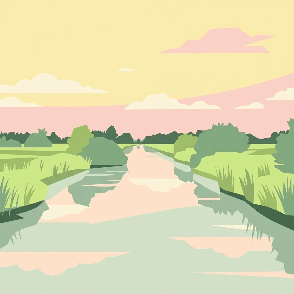
Stylized illustration of a waterway running through a landscape with green banks, vegetation, and trees under a pink and yellow sky with clouds

Friesland's historic lowland peat bog with wetlands, birdlife, and traditional windmills

De Alde Feanen National Park

De Alde Feanen National Park is a protected wetland area in the province of Friesland in the northern Netherlands. Established in 2006 as the twentieth national park in the Netherlands, the park encompasses a distinctive lowland peat bog landscape characterized by shallow lakes, marshlands, reed beds, and ancient peat extraction pools known as petgaten. The area represents one of the most significant remaining examples of low peat marshland in western Europe and forms part of a broader network of protected areas including Natura 2000 and Ramsar wetland designations. Owned and managed by the conservation organization It Fryske Gea since 1934, the park serves as an important habitat for waterbirds, breeding grounds for numerous species, and a living landscape that reflects centuries of human interaction with the wetland environment. The park is centered around the village of Earnewâld and contains notable cultural features including historic windmills and a stork breeding station.

Location
Netherlands
Park type
National park
Established
2006
Area
25 km²
De Alde Feanen National Park Protected Area

Trace regional epicentres around Friesland’s peat wetlands

De Alde Feanen National Park earthquake records

De Alde Feanen National Park’s earthquake section connects reports to the lowland peat landscape by epicentre position and calculated park distance, not by stating that events occurred in the wetland itself. The evidence available for comparison includes dates, magnitudes, depths, reported places, measured separation, and links to the underlying source records.

Sort by
Magnitude
Location

This page describes catalogued earthquakes associated with the park by epicentre location and distance. It does not establish causation, assess current danger, or predict future earthquakes.

No earthquake records match the current filters

Park atlas

Move from De Alde Feanen National Park earthquake history into wider discovery

Find additional protected parks beyond De Alde Feanen National Park

Move beyond Nationaal Park De Alde Feanen's earthquake section through a distinct collection of protected destinations; this 25 km² terrestrial lowland park in the Netherlands records major waters, lakes, forest, wetlands, and wetland, riverine, and broadleaf habitats. The following links do not promise comparable park status, water landscape, ecology, seismic history, location, hazard, or risk.
Watercolor painting of a lake surrounded by green fields and distant mountains.
National parkNetherlands
23 km away#1 closest

Northeast

Lauwersmeer National Park: Mapped Wetland Landscape and Migratory Bird Atlas

Explore protected Dutch Wadden Sea geography and terrain.

Discover Lauwersmeer National Park, a protected wetland in the Netherlands shaped by its post-enclosure transformation. This national park offers a unique glimpse into evolving ecosystems, serving as a vital corridor for migratory birds and showcasing a distinctive flat, open landscape with extensive water and reed environments. Its position within the Wadden Sea UNESCO World Heritage Site highlights its broader ecological importance. Explore the mapped geography, land-use patterns, and characteristic terrain of this dynamic protected area, known for its natural darkness and diverse avian populations.

Area
60 km²
Established
2003
IUCN
II
Relief
Lowland
Watercolor illustration of a landscape with green fields, trees, a body of water, and distant hills under a light sky
National parkDrenthe
27 km away#2 closest

Southeast

Drents-Friese Wold National Park: Protected Landscape and Geographic Exploration in Drenthe

Explore unique heathlands, drift-sands, and regional natural geography.

This entry details Drents-Friese Wold National Park, a crucial protected landscape in the Drenthe province. Understand its mapped boundaries, distinctive heath and drift-sand terrain, and its significance as a natural area. Discover the park's regional geographic setting and its role in the broader Dutch landscape atlas, providing context for its unique ecological and historical character.

Area
61 km²
Established
2000
IUCN
II
Relief
Lowland
A watercolor landscape painting of a calm, shallow body of water surrounded by grassy, low-lying shores and soft, distant hills under a pale, white sky.
Protected areaNetherlands
28 km away#3 closest

Southwest

IJsselmeer: Geography and Protected Wetland Mapping of the Netherlands

Engineered freshwater landscapes and polder geography

The IJsselmeer acts as the central freshwater reservoir for the Netherlands, providing a expansive, horizon-dominated landscape shaped by the Afsluitdijk. As an internationally recognized wetland, it supports diverse waterbird populations within its intricate system of dikes, former tidal channels, and emerging nature islands. This protected area stands as a definitive example of large-scale, adaptive hydraulic management in a low-lying coastal nation.

Area
1,133 km²
Established
1932
Relief
Lowland
Climate
Temperate
Watercolor painting of a wetland scene with a winding river, grassy areas, and distant hills
National parkOverijssel
30 km away#4 closest

South

Weerribben-Wieden National Park: A Premier Lowland Peat Bog National Park in Overijssel

Explore mapped protected wetlands and unique hydrological landscapes.

Weerribben-Wieden National Park stands as a remarkable example of a large-scale lowland peat bog ecosystem, recognized as the most extensive and well-preserved in Northwestern Europe. Located in the Overijssel province, this protected area showcases a complex mosaic of interconnected waterways, expansive reed beds, and marshy woodlands. Our platform provides structured geographic context, enabling detailed map-based discovery of the park's unique terrain and ecological significance as a vital conservation landscape.

Area
105 km²
Established
1992
IUCN
II
Relief
Lowland
Watercolor illustration of rolling hills, a winding river, and distant mountains under a pale sky
National parkFriesland
35 km away#5 closest

Northeast

Schiermonnikoog National Park: Protected Landscape and Geographic Atlas

Explore its unique dune systems, salt marshes, and Wadden Sea context.

Schiermonnikoog National Park in Friesland is a testament to actively evolving coastal geography, showcasing dynamic dune formations, extensive salt marshes, and diverse natural habitats. As a protected landscape within the UNESCO Wadden Sea, it offers a unique focus for understanding regional protected areas and the intricate interplay of wind, water, and sediment shaping the North Sea coastline. Discover the park's ecological significance and its mapped terrain through MoriAtlas's structured geographic exploration.

Area
54 km²
Established
1989
IUCN
II
Relief
Lowland
National parkDrenthe
39 km away#6 closest

East

Drentsche Aa National Park: Preserved Cultural Landscape & River Valley Geography

Explore Drenthe's unique protected lands and mapped terrain.

Drentsche Aa National Park stands as a testament to a landscape preserved from the mid-19th century, offering a rare glimpse into traditional Dutch rural life. Situated in the province of Drenthe, this protected area features one of the last relatively untouched river systems in the Netherlands, characterized by meandering brooks, ancient hedgerows, and distinctive esdorp villages. The park's geography is influenced by the Saalien ice age Hondsrug ridge, creating a unique terrain of heathlands, sand dunes, and rolling landscapes ideal for atlas-based discovery.

Area
100 km²
Established
2002
IUCN
II
Relief
Lowland
Watercolor painting depicting a body of water, trees, and distant hills under a light sky
National parkDrenthe
40 km away#7 closest

Southeast

Dwingelderveld National Park: Drenthe's Vast Wet Heathland and Unique Pingo Lakes

Explore a protected landscape of heath, bogs, and ancient geography.

Dwingelderveld National Park represents a significant protected landscape in the Drenthe region of the Netherlands, celebrated as the largest wet heathland in Western Europe. This 37-square-kilometer area provides exceptional opportunities for atlas exploration, revealing a terrain composed of sandy ridges interspersed with waterlogged depressions. The park's defining features include more than forty natural pools, known as vennen, many of which are geologically important pingo-ruins. Discover the rich archaeological heritage, including ancient Celtic fields and burial mounds, all situated within this unique natural setting. MoriAtlas offers a structured view of Dwingelderveld National Park's distinct geography and protected ecological value.

Area
37 km²
Established
1991
IUCN
II
Relief
Lowland
Nature reserveOverijssel
48 km away#8 closest

South

Zwarte Meer Nature Reserve: Exploring the Wetland Geography of the Dutch Border Lakes

A vital protected freshwater habitat in the province of Overijssel.

Zwarte Meer stands as a cornerstone of the Dutch border lake system, offering a vast expanse of open water and protected reed marshes. This nature reserve provides essential ecological continuity within the regional landscape of Overijssel, serving as a sanctuary for waterbirds and a prime example of managed wetland terrain within the European protected area network.

Area
21.62 km²
Established
1940
Relief
Lowland
Climate
Temperate
MoriAtlas Explorer

Continue Exploring De Alde Feanen National Park's Geographic Context

Deepen your understanding of De Alde Feanen National Park by examining its precise geographic setting within Friesland and its role as a protected wetland. MoriAtlas provides structured data to help you navigate the mapped terrain and protected area boundaries, revealing the interconnectedness of this unique landscape. Continue to explore the specific features and regional context that define this significant national park and its ecological importance.