Mori Atlas logo
National parkDzharylhach National Nature Park

Discover the mapped boundaries and regional context of this Ukrainian National Park.

Dzharylhach National Nature Park: Protected Landscape & Geographic Atlas Entry

Dzharylhach National Nature Park stands as a key protected area within Ukraine's Kherson Oblast. This page offers a detailed look at the park's geographic setting and its identity as a national park, providing users with essential context for map-based exploration and regional landscape understanding. Explore the mapped boundaries and discover the unique natural characteristics that define this significant protected landscape.

island parkcoastal ecosystemBlack Seawetland Ramsar sitemigratory birds
Illustration of coastal landscape featuring lighthouse on small island, sandy beach, turquoise water, cliffs, and sunset sky

Dzharylhach National Nature Park

National park

Park overview

Structured park overview, official facts, and landscape profile for Dzharylhach National Nature Park

Dzharylhach National Nature Park park facts, protected area profile, and essential visitor context
Review the core facts for Dzharylhach National Nature Park, including designation, size, terrain, visitor scale, habitats, and operating context in one park-focused overview.

About Dzharylhach National Nature Park

Dzharylhach National Nature Park represents one of Ukraine's most significant coastal protected areas, encompassing a unique island and marine ecosystem in the northern Black Sea region. The park stretches across Dzharylhach Island, a distinctive linear sand formation that runs west-to-east along Karkinit Bay, and extends into the bay's shallow waters and a coastal strip between the towns of Skadovsk and Lazurne. The island's geography is characterized by extremely shallow coastal waters, typically less than one meter deep, and at times of low water, exposed shoals can connect the island to the mainland as a natural spit. The park protects diverse habitats ranging from sandy beaches and coastal dunes to salt marshes, freshwater and saline wetlands, coastal meadows, and remnants of seaside steppe. Soils on the island are characteristic solonetz, reflecting the high salt content of the environment. The protected area is part of the broader Karkinitska and Dzharylgatska Bays Ramsar site, recognized internationally as a wetland of importance. Prior to its establishment as a national park, portions of the area had been protected as nature reserves for nearly a century, acknowledging its status as an environmentally sensitive representative of north Black Sea coastal habitats.

Quick facts and research context for Dzharylhach National Nature Park

Dzharylhach National Nature Park covers approximately 10,000 hectares across Dzharylhach Island and Karkinit Bay in Skadovsk Raion, Kherson Oblast, Ukraine. The park was established in December 2009 under a presidential decree and is managed by Ukraine's Ministry of Ecology and Natural Resources. The island is the largest in the Black Sea, characterized by sandy terrain, shallow coastal waters, and solonetz (salty) soils. The area experiences a humid continental climate with hot summers and cold winters, with January averaging minus 2.6 degrees Celsius and July averaging 22.9 degrees Celsius. The park falls within the Ramsar-designated Karkinitska and Dzharylgatska Bays wetland system and contains the Dzharylhach botanical reserve.

Park context

Deeper park guide and search-rich context for Dzharylhach National Nature Park

Dzharylhach National Nature Park history, landscape, wildlife, and travel context
Explore Dzharylhach National Nature Park through its history, landscape character, ecosystems, wildlife, conservation priorities, cultural context, and seasonal travel timing in a structured park guide built for atlas discovery and search intent.

Why Dzharylhach National Nature Park stands out

Dzharylhach is best known as the largest island in the Black Sea, featuring clean sandy beaches and mineral springs in its many small lakes. The park is famous for its shallow coastal flats with protective thickets, which support abundant crayfish, crabs, and fish populations. The adjacent Karkinit Bay is renowned for mussels and diverse fish species. The area serves as a crucial habitat for waterfowl, particularly the vulnerable red-breasted goose, which is endemic to the region. The island supports specialized plant communities including psammophytes adapted to shifting sands and halophytes thriving in saline environments, with over 500 vascular plant species recorded.

Aerial view of a narrow coastal peninsula with sandy areas, patches of vegetation, and shallow turquoise waters extending into the sea
Aerial drone view of Dzharylhach National Nature Park showing its distinctive coastal peninsula and shoreline

Dzharylhach National Nature Park history and protected-area timeline

Dzharylhach National Nature Park was established on December 11, 2009, by decree of Ukrainian President Viktor Yushchenko, with the goal of preserving valuable natural and historical-cultural complexes of the northern Black Sea region. The park incorporated approximately 10,000 hectares of state-owned land, including 805 hectares from the Skadovsk Experimental Forestry and Hunting Enterprise and 6,726 hectares of additional state land, along with 2,469 hectares of Karkinit Bay waters. The process of creating the national park had a long history, with the island first becoming part of the Askania-Nova Reserve in 1923 and later joining the State Maritime Reserves in 1927. This protected status was revoked in 1937, with the land transferred to local collective farms for cattle grazing and to forestry enterprises for protective plantings in 1960. A sanctuary protecting the rare Ukrainian Zyphoid grass (Jurinea cyanoides) was established in the northeastern part of the island in 1974, and efforts to establish a full national park resumed in 1997. During the Russian invasion of Ukraine, the region was occupied in March 2022, and in spring 2023, Russian forces created a land bridge to the island and designated the area as a military training zone. A large fire in August 2023 consumed most of the park, and in November 2023, Ukraine's Ministry of Environmental Protection reported that the park had been completely destroyed due to Russian armed aggression during the occupation of Kherson Oblast.

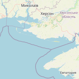
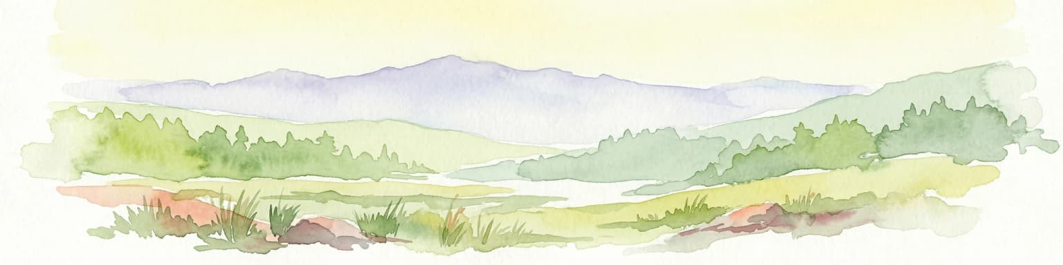
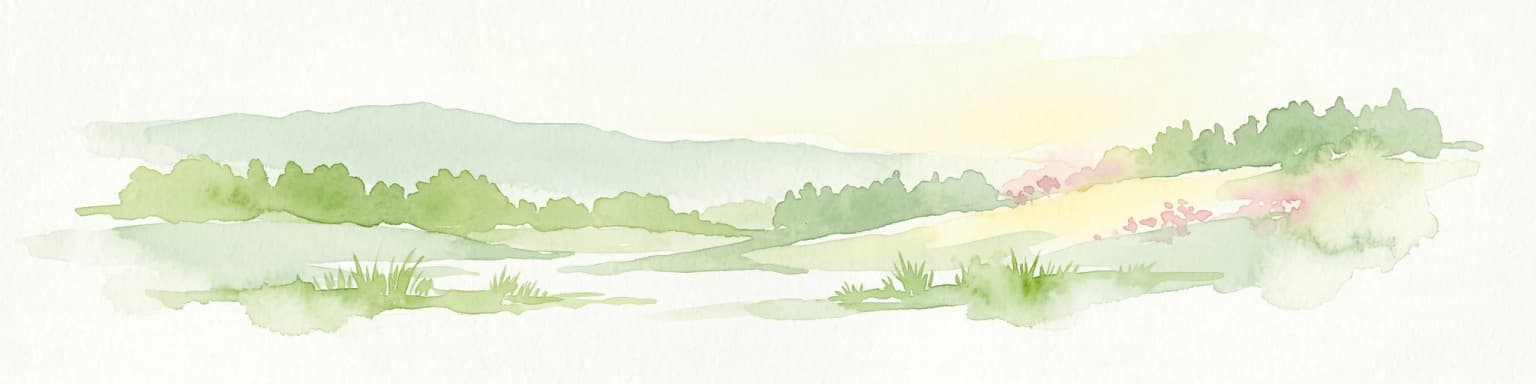
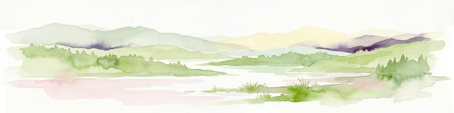
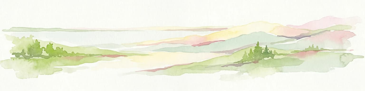
Dzharylhach National Nature Park landscape and geographic character

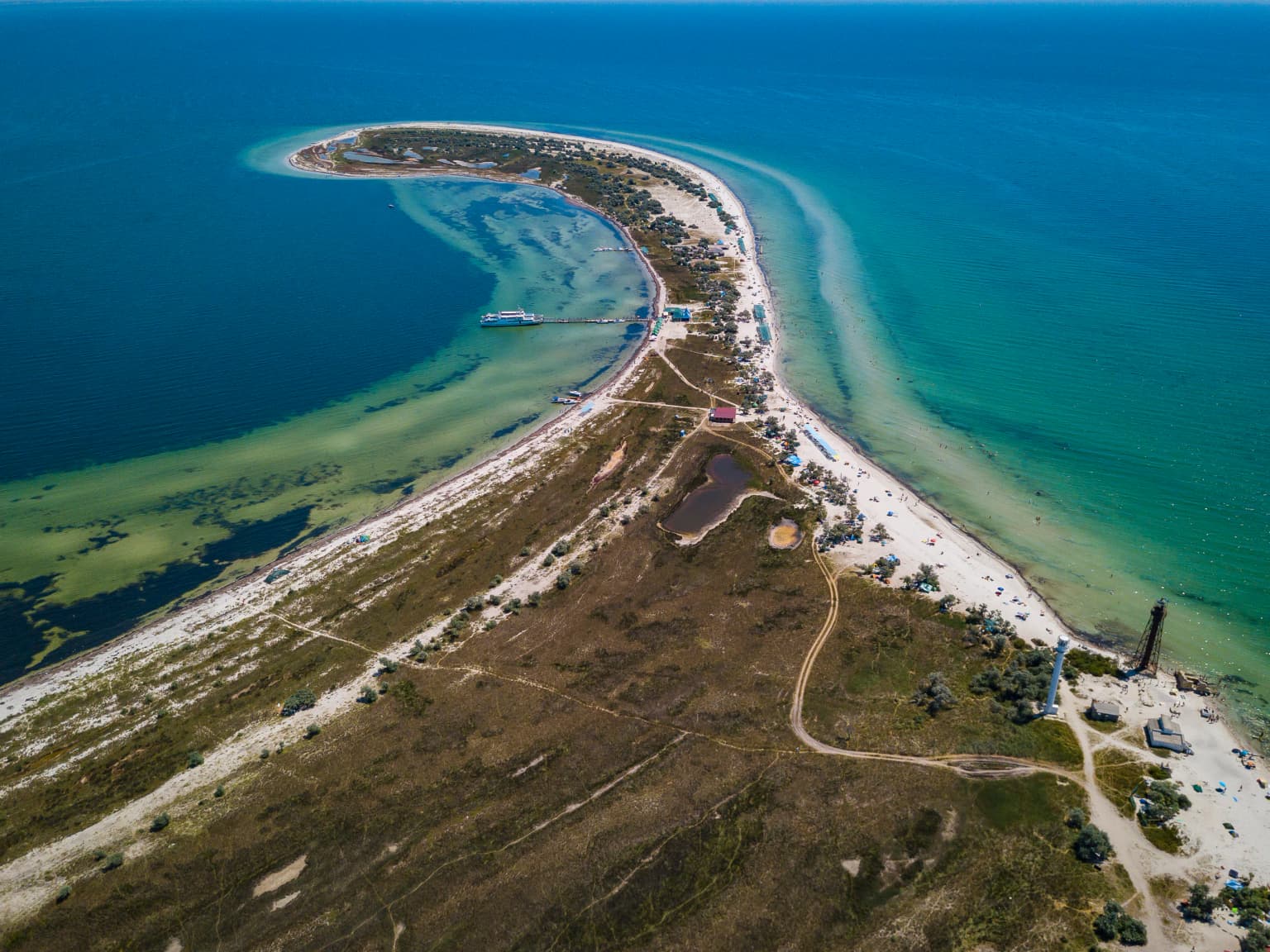
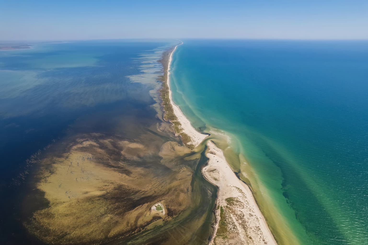
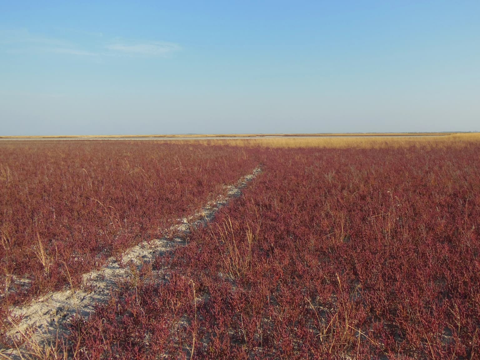
The landscape of Dzharylhach National Nature Park is defined by its island setting in the northern Black Sea, characterized by a long, narrow strip of sand and shoals extending west-to-east along Karkinit Bay. The island sits between the Crimean Peninsula to the south and the Ukrainian mainland to the north, forming a natural barrier分隔 the bay from the open sea. The terrain is predominantly flat and sandy, with a chain of shallow saltwater lakes and mineral springs dotting the island's interior. Coastal waters in the surrounding bay are exceptionally shallow, typically less than one meter deep, creating extensive mudflats and marshy areas that become exposed during low tide. The island's soils are classified as solonetz, a characteristic salty soil type that influences the types of vegetation that can survive in this environment. At various points in history, particularly during periods of low sea levels, the shoals surrounding the island have been exposed and connected to the mainland, forming natural spits. The landscape also includes man-made tree and shrub plantations that have modified portions of the island's original steppe character.

Aerial view of a narrow island with sandy beaches and clear blue water, showing the contrast between deeper ocean water and shallow coastal waters
Aerial view of Dzharylhach Island showing its sandy coastline and contrasting water colors

Dzharylhach National Nature Park ecosystems, habitats, and plant life

The nature of Dzharylhach reflects the unique ecological conditions of the northern Black Sea coast, with specialized plant communities adapted to sandy, saline, and wetland environments. The park supports five main vegetation types: psammophyte-steppe communities on sandy terraces, meadows, marshes, solonetz and salt marsh habitats, and higher aquatic vegetation. Over 500 species of vascular plants from 72 families have been recorded, with a notably high proportion of endemic and sub-endemic species, numbering 54 distinct taxa. The island supports rare halophyte communities including European glasswort (Salicornia europaea), various saltwort species (Salsola), and sea lavender (Limonium). Significant plant communities include stands of southern reed (Phragmites australis) around saltwater lakes and salt-tolerant aster species in marshy depressions. The island also contains artificial plantings of oleaster, silver berry, tamarisk, elm, poplar, and acacia. The adjacent Karkinit Bay supports diverse marine vegetation, with eelgrass (Zostera) and cystoseira algae forming important underwater communities.

Clear blue sky over calm turquoise sea meeting sandy beach with shallow coastal waters
Coastal view of Dzharylhach National Nature Park with calm turquoise sea and sandy shore

Dzharylhach National Nature Park wildlife and species highlights

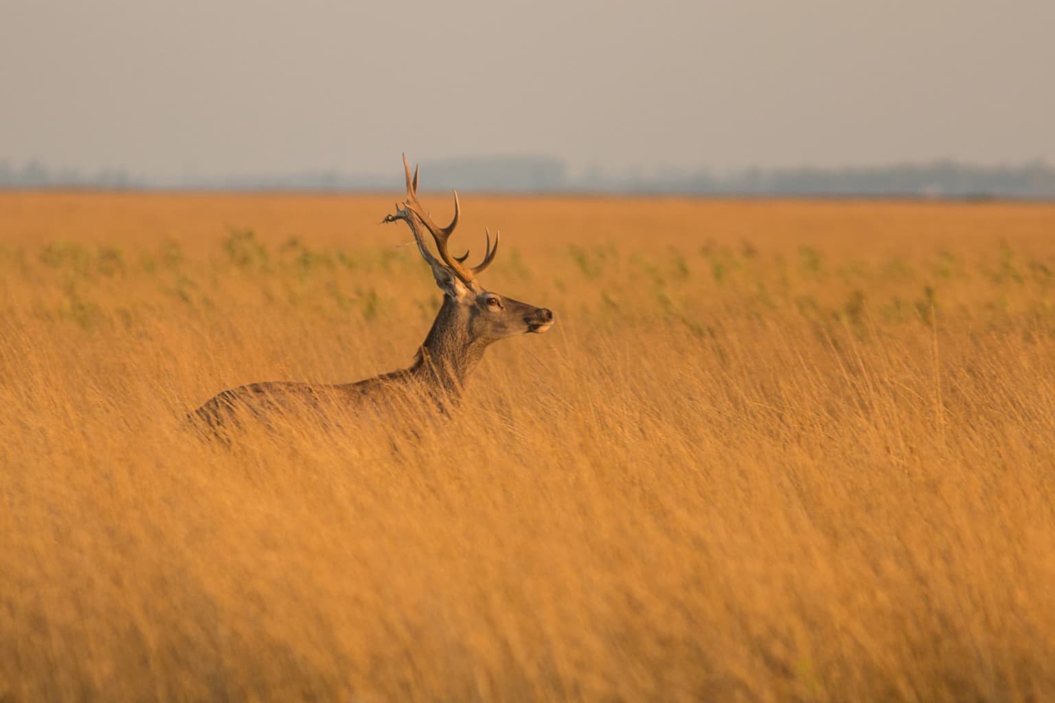
Dzharylhach National Nature Park supports remarkable wildlife diversity across marine, freshwater, and terrestrial environments. The shallow coastal waters and protective thickets support abundant populations of crayfish, crabs, and fish, while the bay itself is famous for mussels and diverse fish species including gobies, which are highly prized by recreational anglers. The island and surrounding wetlands host over 250 bird species, with 69 species listed in the Red Book of Ukraine, including the vulnerable red-breasted goose endemic to the region. Waterfowl populations are particularly significant, with the Ramsar site supporting approximately 150,000 breeding pairs in autumn and 100,000 in spring. Mammals on the island include introduced populations of red deer, mouflon (wild sheep), and European fallow deer, as well as wild boar and roe deer. The park also supports the only shark species found in the Black Sea, the spiny dogfish (Squalus acanthias ponticus), which is considered safe and does not attack humans. Marine mammals including common bottlenose dolphin, common dolphin, and harbor porpoise are found in adjacent waters and are protected under Ukrainian law.

Reddish salt marsh vegetation with a sandy path under a clear blue sky
Salt marsh landscape on Dzharylhach Island, Ukraine

Dzharylhach National Nature Park conservation status and protection priorities

Dzharylhach National Nature Park was established to preserve the unique natural complexes of the northern Black Sea coast and was recognized as part of the international Ramsar network as a wetland of importance. The park contains several protected nature reserve objects, including the Dzharylhach botanical reserve of national importance. The flora includes 21 species listed in the Red Book of Ukraine, and several plant communities are protected under Ukraine's Green Book. The area's international significance is underscored by its designation as part of the Karkinitska and Dzharylgatska Bays Ramsar site (3UA011), which also includes the Karkinitska Bay ornithological reserve and the Crimean nature reserve's Lebediny Islands. The park served as a critical habitat for 115 bird species across various protection lists, with 46 species requiring protection under the Red Book of Ukraine. Environmental damage from the 2022-2023 Russian military occupation has been significant, with Ukrainian authorities estimating biodiversity losses at over 102 billion UAH.

Dzharylhach National Nature Park cultural meaning and human context

Dzharylhach Island and the surrounding Karkinit Bay region have long held significance for the local communities of Skadovsk Raion in Kherson Oblast. The area has been known since the early 20th century for its environmental sensitivity and ecological value, attracting scientific attention as early as 1923. The park establishment process involved integrating previously protected areas, including the 1974 Dzharylhach botanical reserve, into the larger national park framework. The park management maintained educational programs for children and school groups, as well as public awareness activities and ecological tours. Prior to its destruction, the park also provided balanced recreational access to beaches, subject to small fees and protection of environmentally sensitive zones. The island supports cultural heritage through its traditional use as grazing land and its historical role in the network of northern Black Sea protected areas.

A deer with antlers standing in tall golden grass, with a flat landscape and hazy sky in the background
Deer standing in golden grassland on Dzharylhach Island

Top sights and standout views in Dzharylhach National Nature Park

Dzharylhach National Nature Park stands out as Ukraine's largest Black Sea island park, protecting a unique combination of sandy beaches, shallow bay waters, salt marshes, and steppe habitats. The park encompasses the largest island in the Black Sea, known for its clean sandy shores and mineral springs in coastal lakes. The site forms part of an internationally significant Ramsar wetland that supports major concentrations of migratory waterfowl, with seasonal populations reaching hundreds of thousands of birds. The island's specialized flora includes over 500 vascular plant species with a high proportion of endemic and rare species, including 21 Red Book species. The adjacent Karkinit Bay supports rich marine biodiversity including commercially important fish species, crustaceans, and mollusks. The park provided important ecological and educational functions before its destruction during the 2022-2023 Russian invasion.

Snow-capped mountain peaks in the distance, forested hills with green trees in the midground, rocky terrain in the foreground under a partly cloudy sky
Distant snow-capped mountain peaks visible from a forested hillside

Best time to visit Dzharylhach National Nature Park

The park experiences a humid continental climate with distinct seasons that significantly affect the character of a visit. The summer season, lasting approximately five months, brings hot conditions with average July temperatures of 22.9 degrees Celsius, making this the most popular time for beach recreation. The winter months are cold, with January averaging minus 2.6 degrees Celsius and occasional floating ice appearing in the bay for one to five days. Strong winds of six to twelve meters per second are common, occurring on average for 223 days per year, while absolute calm is very rare. For wildlife observation, the spring and autumn migration periods are particularly significant, with large concentrations of waterfowl using the area as a staging ground. However, it should be noted that the park has been reported as destroyed due to military activity during the Russian invasion of Ukraine, and access is not possible.

Park location guide

Geography guide, regional context, and park location map for Dzharylhach National Nature Park

Dzharylhach National Nature Park park geography, regions, and map view in Ukraine
Understand where Dzharylhach National Nature Park sits in Ukraine through a broader geographic reading of the surrounding landscape, nearby location context, and its mapped position within the national park landscape.

How Dzharylhach National Nature Park fits into Ukraine

Ukraine is a sovereign nation in Eastern Europe, bordered by Russia, Belarus, Poland, Slovakia, Hungary, Romania, Moldova, and the Black Sea. It is the second-largest country in Europe by area. Kyiv is the capital and largest city, followed by Kharkiv, Odesa, and Dnipro. The official language is Ukrainian. Ukraine has a population of approximately 32.9 million and operates as a unitary semi-presidential republic.

Wider geography shaping Dzharylhach National Nature Park in Ukraine

Ukraine occupies 603,628 km² in Eastern Europe, making it the second-largest country in Europe. It shares borders with Russia, Belarus, Poland, Slovakia, Hungary, Romania, and Moldova. The country has a southern coastline along the Black Sea and Sea of Azov. The terrain includes plains, steppes, and the Carpathian Mountains in the west.

Map view of Dzharylhach National Nature Park

Use this park location map to pinpoint Dzharylhach National Nature Park in Ukraine, understand its exact geographic position, and read its mapped placement within the surrounding landscape more clearly.

Pigeon | © OpenStreetMap contributors

Location context for Dzharylhach National Nature Park

Kherson OblastSkadovsk Raion

Visualize Ukraine's Largest Black Sea Island: Its Unique Coastal Terrain and Vital Wetland Environments

Dzharylhach National Nature Park Photos: Explore Island Landscapes, Coastal Scenery, and Protected Habitats
Explore Dzharylhach National Nature Park photos to visually understand its diverse island landscape, encompassing expansive sandy beaches, shallow Black Sea waters, and unique salt marshes. These images offer critical visual context for the park's protected status as Ukraine's largest Black Sea island, showcasing its distinct environment and vital role as a Ramsar wetland.

Aerial view of a narrow coastal peninsula with sandy areas, patches of vegetation, and shallow turquoise waters extending into the sea

Aerial view of a narrow coastal spit with sandy and grassy terrain surrounded by shallow blue-green waters

Aerial view of a narrow island with sandy beaches and clear blue water, showing the contrast between deeper ocean water and shallow coastal waters

Clear blue sky over calm turquoise sea meeting sandy beach with shallow coastal waters

Reddish salt marsh vegetation with a sandy path under a clear blue sky

A lake surrounded by grassy fields with patches of red vegetation under a clear blue sky

A deer with antlers standing in tall golden grass, with a flat landscape and hazy sky in the background

Snow-capped mountain peaks in the distance, forested hills with green trees in the midground, rocky terrain in the foreground under a partly cloudy sky

Black beetle pushing a ball of dung on sandy beach with dry grass in background

Two mouflons standing in tall grass with trees in the background

Shallow coastal waters with patches of exposed sand and mud bordered by sparse vegetation under a clear blue sky

Sunset over calm sea waters with a small landmass and boat visible on the horizon

Sandy beach at sunset with scattered clouds, low sun on the horizon, and sparse vegetation in the background

Sandy beach with patches of grass leading to the sea under cloudy sky

A coastal wetland scene with water channels, tall grasses, sandy shore, and a small shelter structure with people near the water

Underwater scene showing seagrass and pebbles on the sandy seabed with sunlight filtering through clear water

Park atlas

Trace the regional protected landscapes and coastal ecosystems spanning Kherson Oblast, identifying comparable Black Sea conservation areas.

Compare National Parks and Protected Areas Near Dzharylhach National Nature Park
After exploring Dzharylhach National Nature Park, browse other national parks and protected areas across the broader Kherson Oblast region and along the Black Sea coast. This allows for detailed geographic comparison of shared coastal ecosystems, wetland features, and distinct regional conservation landscapes.
Watercolor illustration of a landscape with grassy fields, trees, a river, and distant hills.
National parkKherson Oblast

Oleshky Sands National Nature Park: Mapping Ukraine's Distinctive Semi-Arid Dune Landscape

Explore protected sandy steppe, dunes, and conservation areas in Kherson Oblast.

Oleshky Sands National Nature Park is a critical protected landscape in Kherson Oblast, Ukraine, renowned for its unusual semi-arid terrain dominated by expansive sand dunes and sandy steppe. This page provides detailed geographic context for the park, highlighting its unique mapped boundaries, the contrast between its Radensk and Burkut zones, and its ecological importance as part of the Pontic-Caspian steppe. Understand the specific landscape features and regional geography that make this national park a significant natural asset within Ukraine's protected area network.

Area
80.2 km²
Established
2010
IUCN
II
Relief
Mixed relief
National parkAutonomous Republic of Crimea

Charming Harbor National Nature Park: National Park Map and Protected Landscape Identity

Explore its mapped boundaries and regional geography.

Charming Harbor National Nature Park is a key protected area contributing to the natural landscape of the Autonomous Republic of Crimea. This page details its specific geographic scope and mapped boundaries, functioning as an atlas entry to understand its role within regional conservation efforts. Discover the park's distinct protected land context and its contribution to the mapped terrain of Ukraine.

Area
109 km²
Established
2009
IUCN
II
Relief
Lowland
National parkMykolaiv Oblast

Ivory Coast of Sviatoslav National Nature Park: National Park Identity and Regional Geography

Mapped protected area in Mykolaiv Oblast, Ukraine.

Gain a structured understanding of Ivory Coast of Sviatoslav National Nature Park, a designated national park in the Mykolaiv Oblast region of Ukraine. This entry focuses on its protected landscape identity and its position within the broader regional geography. Explore the mapped outlines and discover its significance as a key protected territory for atlas-based research and geographic context.

Area
352 km²
Established
2009
IUCN
II
Relief
Lowland
National park

Azov, Syvash National Nature Park: National Park Protected Landscape and Geography

Explore mapped boundaries and regional landscape context.

Azov, Syvash National Nature Park stands as a notable protected area, offering a distinct geographic identity within Ukraine's atlas of natural landscapes. This national park's mapped boundaries provide a foundation for understanding its landscape context and regional significance. MoriAtlas enables detailed exploration of its protected terrain and its place within the country's conservation geography, serving as a gateway to structured geographic information and detailed park data for researchers and explorers.

Area
525.8 km²
Established
1993
IUCN
II
Relief
Lowland
Nature reserve

Crimean Nature Reserve: Nature Reserve with Mountain Forests and Karst Geography

Explore protected area landscapes and terrain.

The Crimean Nature Reserve is a key protected area within the Crimean Mountains, recognized for its significant mountain forests and unique karst landscapes. This nature reserve encompasses a critical span of the peninsula's rugged terrain, from high mountain ridges to dramatic southern slopes. Its designation as a protected area highlights its ecological importance and its role in preserving diverse natural habitats and geological features within a regional geographic context, making it a notable destination for landscape exploration.

Area
442 km²
Established
1991
IUCN
Ia
Relief
Mountain
National parkZaporizhzhia Oblast

Pryazovia National Nature Park: National Park Protected Landscape Atlas

Explore the mapped boundaries and regional geography of Pryazovia National Nature Park.

Pryazovia National Nature Park represents a key protected area within Zaporizhzhia Oblast, Ukraine. This MoriAtlas entry provides detailed atlas-style information, emphasizing the park's mapped boundaries and its integration into the regional geography. Understand the park's character as a protected natural landscape situated in the southeastern Ukrainian coastal zone near the Sea of Azov, offering valuable context for geographic exploration.

Area
781 km²
Established
2010
IUCN
II
Relief
Lowland
Watercolor illustration of a landscape with hills, a river, and green vegetation
National parkOdesa Oblast

Lower Dniester National Nature Park: National Park Map and Protected Landscape Atlas

Explore Odesa Oblast's protected natural geography and park boundaries.

The Lower Dniester National Nature Park is a vital component of Ukraine's protected lands, situated within the expansive Odesa Oblast. This page offers detailed geographic context, focusing on the park's mapped boundaries and its contribution to the regional landscape. Dive into an atlas-style exploration that highlights the park's protected terrain and its significance within the natural geography of southwestern Ukraine, offering structured discovery beyond basic park facts.

Area
213 km²
Established
2008
IUCN
II
Relief
Lowland
Watercolor illustration of a landscape with rolling hills, a body of water, and greenery
National parkZaporizhzhia Oblast

Grand Meadow National Nature Park: National Park Protected Landscape and Regional Geography

Explore the mapped boundaries and natural terrain.

Grand Meadow National Nature Park represents a distinct protected landscape within Zaporizhzhia Oblast, Ukraine. As a national park, its designation signifies an area managed for conservation and geographic study. This entry on MoriAtlas details the park's physical presence, offering users the opportunity to explore its mapped terrain, understand its role in regional geography, and place it within the broader atlas of Ukrainian protected areas. It is ideal for users seeking concrete landscape context and precise geographic data.

Area
168 km²
Established
2006
IUCN
II
Relief
Lowland

Common questions about visiting, size, designation, and location context for Dzharylhach National Nature Park

Dzharylhach National Nature Park FAQs for park facts, access, geography, and protected area context
Find quick answers about Dzharylhach National Nature Park, including protected-area facts, park geography, trail and visitor context, and how the park fits into its surrounding country and regional landscape.
MoriAtlas Explorer

Continue Your Protected Areas Search Across the Global Atlas

Deepen your exploration by continuing the structured search for national parks and protected areas worldwide. Utilize the comprehensive filtering capabilities to compare different conservation landscapes and refine your understanding of global park geography. Discover more about the distribution and characteristics of protected natural areas.

Global natural geography