Mori Atlas logo
Nearby park discovery

Compare protected geography around fertile crofting land and North Atlantic coast

Trace protected-area geography from Fetlar across the wider Shetland Islands

Fetlar, the Garden of Shetland, combines unusually fertile crofting ground and flower-rich lowland with heath, low ridges, Vord Hill, a deeply indented coast, offshore islets, prehistoric sites, and important seabird habitat. Use the nearby map to explore the wider North Isles protected setting while keeping every colony, island, and designation separate.

Related tags

Shetland IslandsNorth IslesScottish islandsseabird breedingred-necked phalarope

"The Garden of Shetland," a fertile North Isle renowned for seabirds and rich geology

Fetlar

Fetlar is one of the North Isles of Shetland, the archipelago off the far north of Scotland, and ranks as the fourth-largest island in the group. Although it is a small, sparsely populated place with a resident population in the low dozens, it carries an outsized ecological reputation because of its remarkably fertile soils, varied geology, and globally important seabird populations. The island is the most important breeding site in the United Kingdom for the red-necked phalarope and supports significant colonies of Arctic skua, great skua, Arctic tern, and storm petrels, which together with surrounding seas have earned it multiple overlapping conservation designations. Beyond its natural richness, Fetlar carries a deep human and cultural history. A great prehistoric wall, the Funzie Girt, divides the island and may date back to the Mesolithic period, while Brough Lodge, a Gothic country house built around 1820 by Arthur Nicolson, remains a major historical landmark under restoration. The island is also the birthplace of Sir William Watson Cheyne, a pioneer of antiseptic surgery and a former lord-lieutenant of Shetland. Today, Fetlar balances a fragile rural community, working crofting landscape, fragile infrastructure, and an unusually strong environmental identity, making it both a quiet inhabited island and a focal point of conservation interest in the North Atlantic.

Location
United Kingdom
Park type
Wildlife reserve
Area
40.8 km²
Highest point
158 m
Explore Fetlar Wildlife Reserve Geography
Regional park map

See the ranked park cluster in its geographic setting

Nearby parks around Fetlar

This regional map shows the same 20 nearby parks ranked below around Fetlar. Select a ranked marker to highlight that park’s boundary where boundary data is available.
Reference park: FetlarRanked nearby parkSelected boundary: Fetlar20 nearby parks shown
20 nearby parks

Ranked distance relationships and surrounding protected landscapes across the North Isles

Parks and Protected Areas Geographically Near Fetlar in Regional Context

Geographic proximity measurements establish a ranked index of nearby protected areas surrounding Fetlar for regional comparison. Evaluating these neighboring locations highlights broader ecological patterns and coastal terrain variants across the archipelago.
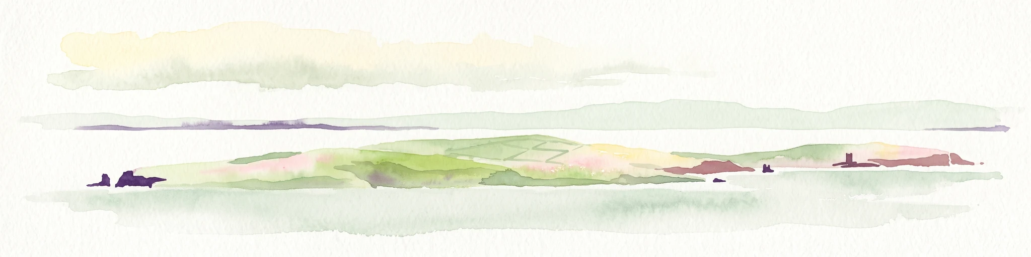
A soft watercolor painting of the island of Mousa in Shetland, depicting green and tan grassy hills surrounded by water, with the tall stone silhouette of the Mousa Broch visible on the island.
Wildlife reserveShetland Islands
About 62 km away#1 closest

South

Mousa, Shetland Wildlife Reserve: Mapping the Geography of a Northern Coastal Protected Area

Ancient broch ruins and critical island wildlife habitat

Mousa, Shetland provides a unique look at isolated island geography, featuring layered sedimentary geology and a high-density seabird ecosystem. Gain geographic insight into this protected site, encompassing historical Iron Age structures alongside vital nesting grounds located within the broader marine landscape of the Shetland archipelago.

Area
1.8 km²
Relief
Lowland
Climate
Temperate
Access
Moderate access
Marine protected areaShetland
About 71 km away#2 closest

South

Boddam Marine Protected Area: A Geographic Profile of Southern Shetland Coastal Waters

Coastal conservation landscapes and North Atlantic marine ecology

Located on the southern Mainland of Shetland, the Boddam Marine Protected Area stands as a vital site for marine conservation. The region is widely recognized for its consistent sandeel populations, which provide essential nourishment for seabirds and predatory marine mammals. This site combines a rich Norse crofting history with a sheltered maritime geography, offering a window into the interconnectedness of land and sea in the northern reaches of Scotland.

Relief
Lowland
Water
Major water bodies
Marine protected areaScotland
About 163 km away#3 closest

Northwest

Faroe-Shetland Sponge Belt MPA: Geographic Overview and Submarine Landscape Mapping

A deep-sea marine protected area in the Faroe-Shetland Channel

Delve into the geography of the Faroe-Shetland Sponge Belt MPA, where unique deep-sea sponge communities define the seafloor at depths between 400 and 600 meters. This site showcases the influence of hydrodynamic interactions between the North Atlantic and the Norwegian Sea on marine habitat distribution, offering a detailed look at offshore conservation within the Scottish maritime territory.

Area
5,278 km²
Established
2014
Relief
Lowland
Climate
Subpolar
Wildlife reserveOrkney
185 km away#4 closest

Southwest

Rousay Wildlife Reserve: Mapped Geography and Protected Landscapes in the Orkney Archipelago

Island moorlands, coastal cliffs, and freshwater loch ecosystems.

Rousay represents a critical protected area within the Orkney islands, characterized by its elevated moorland summits and dramatic shorelines. The mapped terrain reveals complex interactions between marine sounds and terrestrial habitats, offering a deep look into the regional geography and conservation status of this northern sanctuary.

Area
48.6 km²
Relief
Upland
Climate
Temperate
Access
Moderate access
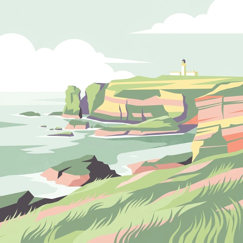
A minimalist, stylized vector illustration of coastal cliffs meeting the sea, with a lighthouse visible in the distance on top of the headland.
Marine protected areaHighland
About 258 km away#5 closest

Southwest

Noss Head Marine Protected Area: Highland Coastal and Benthic Geography

Exploring the rocky cliffs and offshore mussel habitats of Northern Scotland.

Noss Head is a notable marine protected area located on the Caithness coast of the Scottish Highlands. The site is defined by its rugged coastal cliffs and an expansive, nationally important horse mussel bed that occupies the seabed at depths between 35 and 45 metres. This area represents a core study in North Atlantic benthic ecology and dramatic maritime landforms.

Area
8 km²
Established
2014
IUCN
IV
Relief
Lowland
Nature reserveScotland
263 km away#6 closest

Southwest

East Caithness Cliffs Nature Reserve: Regional Geography and Coastal Protected Area Atlas

Coastal sandstone cliffs and maritime heath habitats in northern Scotland.

Examine the layered conservation architecture and physical geography of East Caithness Cliffs. This site serves as a prime example of protected northern coastal terrain, where sandstone formations and maritime heath support vast seabird populations across a mosaic of land and sea boundaries.

Area
116.96 km²
Established
1996
Relief
Upland
Climate
Temperate
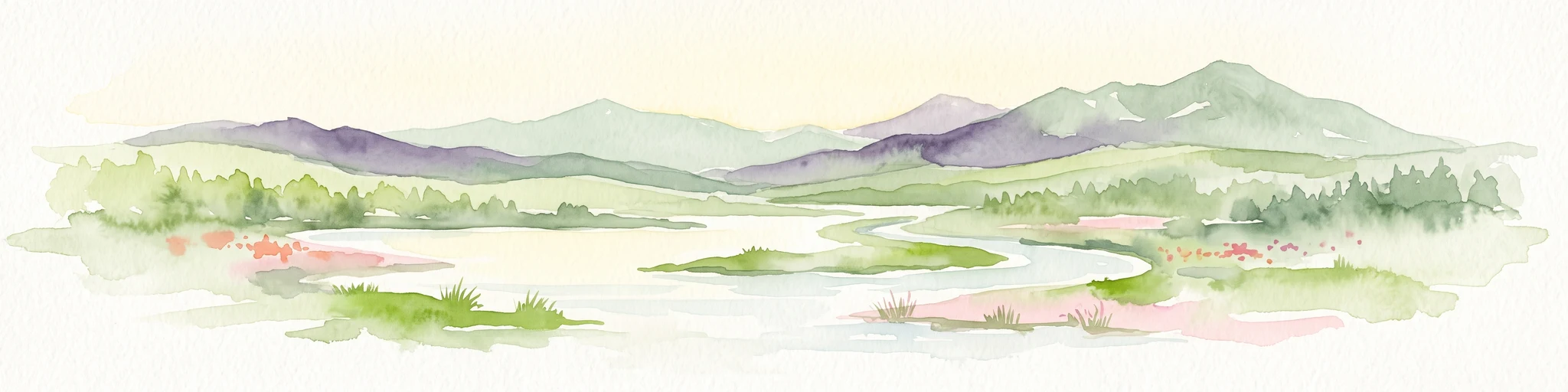
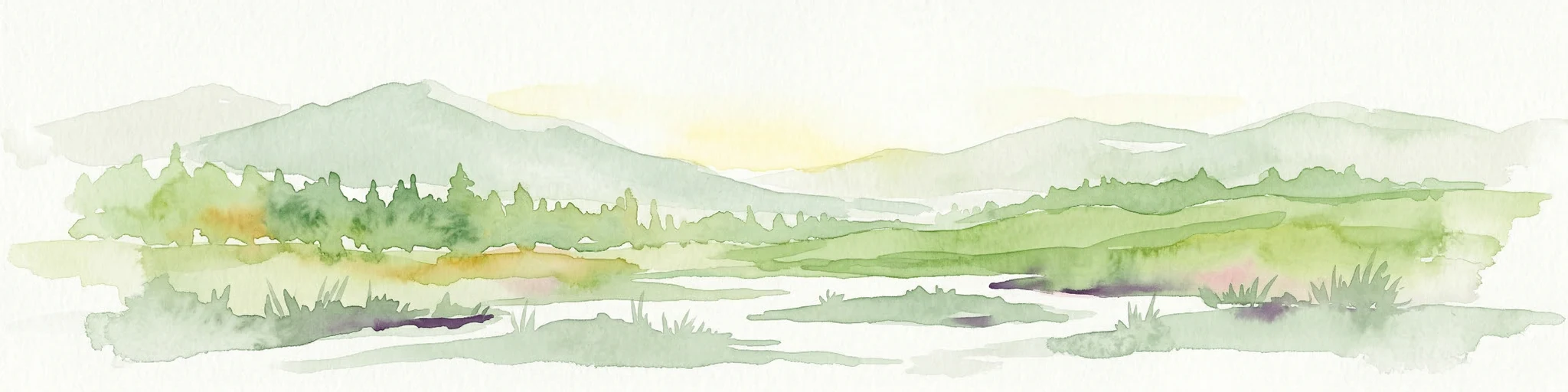
A watercolor painting showing a wide, sweeping landscape of green hills, a winding stream, and flat boggy terrain under a soft, light-colored sky.
Nature reserveScotland
About 284 km away#7 closest

Southwest

Flow Country: Geography and Protected Landscape Analysis of Scotland's Blanket Bog

Northern Scotland's vast, waterlogged peatland ecosystem.

The Flow Country is defined by its extensive, open peatland terrain stretching across Caithness and Sutherland. This nature reserve serves as a critical geographic study area for understanding blanket bog formation, carbon storage, and the restoration of fragile wetland habitats in northern Europe.

Area
4,000 km²
Relief
Lowland
Scope
Terrestrial
Water
Water-dominated
Marine protected areaScotland
About 307 km away#8 closest

Southeast

Norwegian Boundary Sediment Plain: A Deep Marine Protected Area in the North Sea

Submerged sand and gravel seabed habitats at the Scottish border.

Located at the outer limits of Scottish waters, the Norwegian Boundary Sediment Plain represents a specialized Marine Protected Area. It features a vast, flat sedimentary seafloor dominated by sand and gravel. This deep-water environment supports ancient benthic populations and offers a unique perspective on the stable, cold-water ecosystems found in the northern North Sea.

Area
164 km²
Established
2014
Relief
Lowland
Scope
Marine
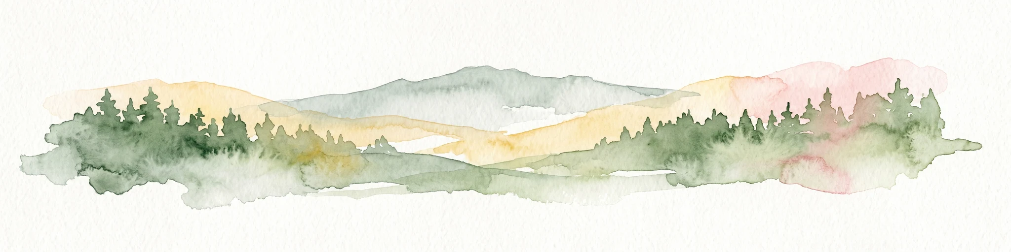
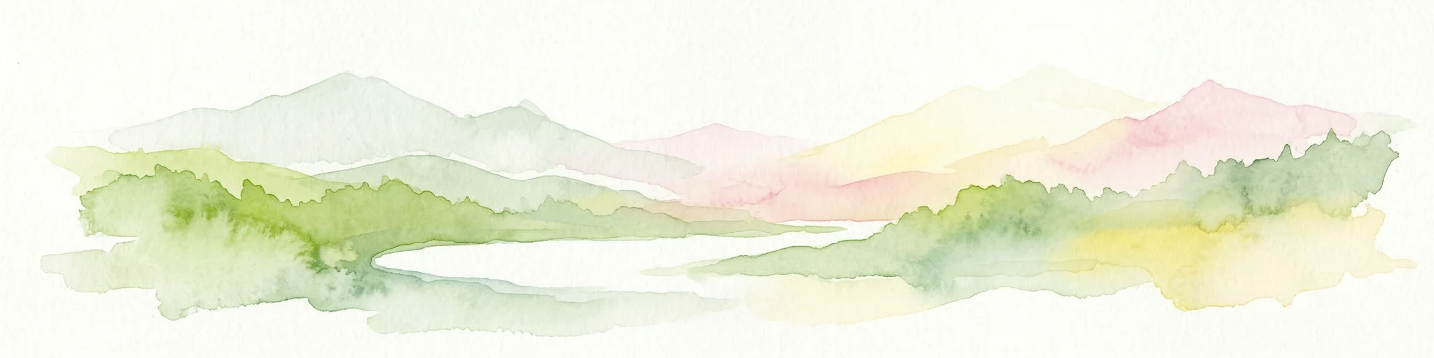
A wide watercolor illustration showing a mountain range in the distance, a valley, and green forests on either side, with soft pastel colors.
Protected landscapeHighland
About 329 km away#9 closest

Southwest

North West Sutherland National Scenic Area: Mapping the Peaks and Coasts of Highland Scotland

Protected quartzite mountain landscapes and Atlantic coastal geography

This detailed overview of the North West Sutherland National Scenic Area maps the dramatic interplay between the white quartzite mountains of Foinaven and Arkle and the darker Lewisian gneiss that forms the underlying Highland landscape. The analysis provides deep insights into the region's knock and lochan topography, sea lochs, and the protected coastal habitats of Handa Island, anchoring the area within its broader Scottish geological context.

Area
266 km²
Established
1981
Relief
Mountain
Climate
Temperate
Marine protected areaScotland
335 km away#10 closest

West

West of Scotland Marine Protected Area: Geographic Atlas and Seafloor Mapping

Extensive North Atlantic deep sea protected zone in Scotland

Spanning a immense area west of the Outer Hebrides, the West of Scotland Marine Protected Area is a critical offshore conservation zone defined by its varied benthic topography. From the steep continental slope to the sediment plains of the Rockall Trough, the area houses complex deep sea fish populations, cold water coral reefs, and sponge aggregations on isolated seamounts.

Area
107,773 km²
Established
2020
Scope
Marine
Water
Water-dominated
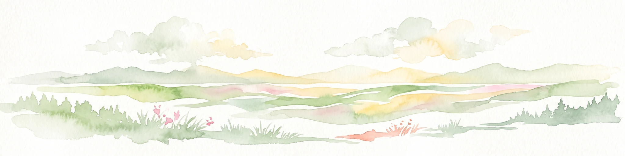
Watercolor painting of soft rolling dunes, green hills, and light clouds.
Protected areaSutherland
About 339 km away#11 closest

Southwest

Coul Links Protected Area: Coastal Dune and Heathland Geography in Sutherland, Scotland

A study of coastal dune succession and wetland terrain

Coul Links serves as a quintessential example of a Scottish coastal links landscape, tracing a continuous path from active beach fronts through to stable, juniper-rich heathland. Situated in Sutherland, the site offers a window into the formation of dune slacks, seasonal freshwater lochans, and the ecological dynamics of a complex, interwoven coastal system.

Relief
Lowland
Climate
Temperate
Access
Easy access
Scope
Terrestrial
Watercolor painting depicting mountains, forested hills, and a river in a scenic landscape
National parkScotland
379 km away#12 closest

Southwest

Cairngorms National Park: Explore Scotland's Largest Protected Mountain Landscape

Mapped boundaries and arctic-alpine geography.

As the United Kingdom's largest national park, Cairngorms National Park in Scotland presents a vast expanse of distinctive arctic-alpine terrain and ancient Caledonian forests. This protected landscape offers a unique opportunity to explore mapped geographic features, from its extensive mountain plateaus to its vital river systems. Discover the contours and context of this significant natural area within the broader atlas of Scotland's protected lands.

Area
4,528 km²
Established
2003
IUCN
V
Visitors
1.9M annual
Watercolor illustration of a mountain landscape with green vegetation and pastel-colored peaks
National parkVestland
379 km away#13 closest

East

Folgefonna National Park: Norway's Premier Glacier Protected Landscape

Mapped glacial terrain and park boundaries in Vestland.

Folgefonna National Park in Vestland, Norway, stands as a premier protected area defined by its vast ice cap and dramatic glacial geography. This page details the park's mapped boundaries, showcasing its impressive glacial formations, U-shaped valleys, and distinct alpine landscapes. Understand the geographic context and protected status of Folgefonna National Park, a key destination for exploring Norway's glacier heritage through an atlas-driven lens.

Area
545.2 km²
Established
2005
IUCN
II
Relief
Mountain
National parkVestland
398 km away#14 closest

East

Jostedalsbreen National Park: Europe's Premier Glacial Protected Landscape

Mapped terrain and protected area discovery in Vestland, Norway.

Jostedalsbreen National Park represents a unique geographic entity, safeguarding the largest glacier on the European mainland. This national park, situated in Norway's Vestland region, offers profound insights into glacial landscapes and mountain geography. Users can explore the vast ice mass that dominates the terrain, observe the U-shaped valleys carved by its movement, and understand the geological processes shaping this dynamic environment. The park's protected status highlights its importance for understanding glacial science and preserving a critical component of Norway's natural heritage.

Area
1,310 km²
Established
1991
IUCN
II
Relief
Mountain
Protected landscapeHighland
About 402 km away#15 closest

Southwest

Wester Ross National Scenic Area: Protected Highland Mountain and Coastal Landscape Atlas

Geographic mapping of the Northwest Highlands terrain

Wester Ross National Scenic Area spans vast stretches of the Northwest Highlands, characterized by towering Torridonian sandstone peaks and deeply carved sea lochs. This protected region integrates ancient Scots pine forests, glacial-carved glens, and complex coastal environments into one of the most recognizable geographic features of Scotland. The landscape serves as a vital record of geological heritage and high-latitude biodiversity within the Highland administrative region.

Area
1,634.58 km²
Established
1981
Visitors
70K annual
Relief
Mountain
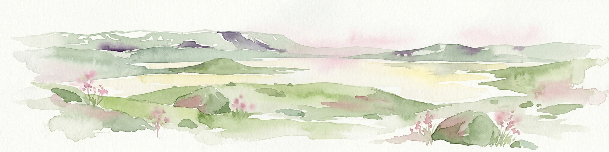
Watercolor painting of rolling green hills, a body of water, and pink flowers
National parkVestland
409 km away#16 closest

East

Hardangervidda National Park: Vast Arctic Plateau and European Peneplain Discovery

Explore Norway's largest national park and its unique tundra ecosystem.

Delve into the geography of Hardangervidda National Park, Norway's largest national park, featuring the expansive Arctic plateau and Europe's largest peneplain. This protected landscape offers a unique mapped environment characterized by treeless moorland, numerous lakes, and important wildlife habitats, including significant wild reindeer populations. Understand its position within the Vestland region and its value as a key protected area for geographic exploration and landscape context.

Area
3,422 km²
Established
1981
IUCN
II
Relief
Highland
A pale, minimalist watercolor painting showing gentle hills, a curved shoreline, and sparse grass against a white background.
Protected areaNa h-Eileanan Siar
About 412 km away#17 closest

Southwest

Isle of Lewis Protected Area: Geography, Coastal Landscapes, and Highland Terrain

Mapped regional geography of the Outer Hebrides

The Isle of Lewis represents a significant protected landscape defined by its ancient geological roots and diverse coastal ecosystems. From the lime-rich machair grasslands of the west to the deeply indented sea lochs of the east, this area offers a unique perspective on the physical geography and inland peatland networks of the North Atlantic.

Area
1,770 km²
Visitors
219K annual
Relief
Mixed relief
Climate
Temperate
National parkInnlandet
About 437 km away#18 closest

East

Breheimen National Park: Protected Glacial Landscapes and Mountain Terrain in Innlandet

Norway's prominent national park featuring active glaciers and alpine geography.

Breheimen National Park represents a significant protected landscape within Norway's Innlandet region, dedicated to conserving its unique glacial formations and dramatic alpine terrain. The park's vast area encompasses active glaciers, soaring peaks, and a notable diversity of natural environments, from lush valleys to barren plateaus. MoriAtlas facilitates a detailed exploration of Breheimen National Park, highlighting its mapped protected boundaries and its integral role in the regional geography and protected areas atlas.

Area
1,671 km²
Established
2009
IUCN
II
Relief
Mountain
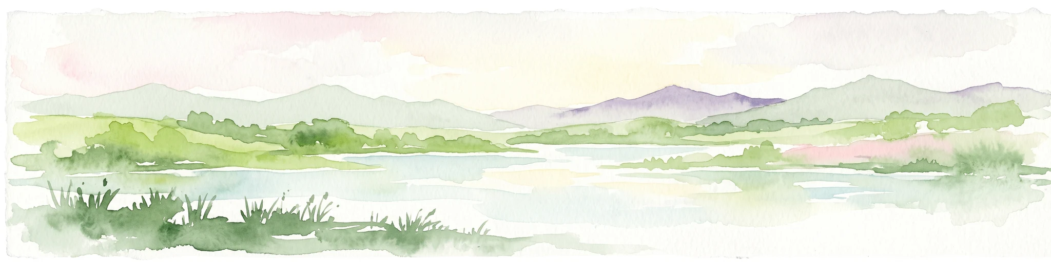
A soft, impressionistic watercolor painting of a Scottish loch surrounded by rolling green hills and distant mountain silhouettes.
Marine protected areaRoss and Cromarty
About 439 km away#19 closest

Southwest

Loch Carron Marine Protected Area: Coastal Geography and Protected Seabed Landscape Atlas

Exploring the tidal basins and underwater terrain of Ross and Cromarty.

Loch Carron stands as a landmark marine protected area defined by its dramatic underwater depth changes and robust tidal currents. This protected sea loch features the world's largest flame shell colony nestled beneath the cliffs at Strome Castle. The surrounding Highland geography of Ross and Cromarty creates a compressed, mountain-framed landscape that influences the rich ecological character of this essential coastal habitat.

Area
23 km²
Established
2019
Relief
Lowland
Climate
Temperate
Protected landscapeHighland
About 442 km away#20 closest

Southwest

Trotternish National Scenic Area: A Geographic Atlas of the Isle of Skye Protected Landscape

Basalt escarpments and geologic landmarks in the Scottish Highlands

Trotternish National Scenic Area features a long, continuous basalt escarpment that defines the spine of northern Skye. This protected landscape contains complex ridge formations, dramatic coastal cliffs, and a rich record of Jurassic geology. Learn about the physical geography, mapped extent, and natural terrain that make this region a key protected area within the Highland geography of Scotland.

Established
1981
Relief
Upland
Climate
Temperate
Access
Moderate access
Distance methodology

Geographic measurements, not driving distances

How nearby park distances are calculated

Distances use park boundaries whenever the available geometry allows it. When one or both boundaries are missing, the mapped park locations provide a clearly labelled estimate. Every value represents straight-line geographic separation and does not use roads or routing.

Boundary distance

Calculated between the nearest points of both park boundaries.

Location-to-boundary estimate

Estimated from one mapped park location to the nearest boundary of the other park.

Mapped-location estimate

Estimated between the mapped locations of both parks.

MoriAtlas Explorer

Examine the Geography and Protected Boundaries of Fetlar Wildlife Reserve

Delve into the mapped terrain and ecological significance of Fetlar, a primary wildlife reserve within the Shetland Islands archipelago. Use MoriAtlas to trace the island's fertile landscape, prehistoric archaeology, and vital bird habitats that define this unique North Atlantic protected area.