Mori Atlas logo
Park earthquake history

Review documented seismic events, magnitudes, and epicentre distances for this central Swedish protected area.

Historical Catalogue of Recorded Earthquakes Associated with Hamra National Park

This historical catalogue aggregates recorded seismic activity associated by location with the landscape of Hamra National Park in Gävleborg County. Users can examine documented event dates, measured magnitudes, and focal depths to understand the regional seismic record. All records are organized by their proximity to the park boundaries, providing a clear overview of documented tectonic events within this specific central Swedish geographic context.

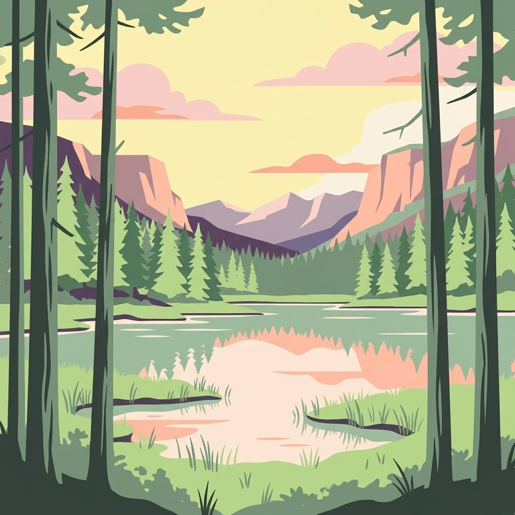
Illustration showing tall pine trees in the foreground, a lake with reflections, and mountains in the background under a light sky with clouds

Old-growth coniferous forest and vast mires in central Sweden's Dalarna region

Hamra National Park

Hamra National Park is a protected area in Ljusdal Municipality, Gävleborg County, in central Sweden. The park is situated in the Dalarna region, within the Orsa Finnmark area, and lies at an elevation of approximately 410 to 415 meters above sea level. Established in 1909 as one of Sweden's earliest national parks, it originally covered just 28 hectares. A major expansion in 2011 increased the park to 1,383 hectares, making it a significant conservation area in the country. The park protects a landscape of old-growth coniferous forest surrounding a distinctive moraine hill, together with extensive interconnected mire systems that have never been drained or subjected to timber floating operations.

Location
Sweden
Park type
National park
Established
1909
Area
13.8 km²
Hamra National Park Protected Landscape

Sort Hamra National Park events by magnitude, depth, date, and distance

Search recorded earthquake history around Hamra National Park

Hamra National Park’s earthquake records are organised by epicentre and measured distance from its Swedish mire-and-old-growth landscape, not asserted occurrence within the park. Time, magnitude, depth, reported locality, separation, and source citations create historical context without assigning influence to the moraine or wetlands, declaring geological causation, stating current threat, or forecasting activity.

Sort by
Magnitude
Location

This page describes catalogued earthquakes associated with the park by epicentre location and distance. It does not establish causation, assess current danger, or predict future earthquakes.

No earthquake records match the current filters

Park atlas

Continue from Hamra National Park earthquake history to new places

Find additional protected park pages after Hamra National Park

After Hamra National Park’s earthquake record, browse other protected destinations through their individual atlas pages. Their appearance establishes no connection to Sweden’s old-growth conifers and mires, and it does not imply equivalent national-park status, boreal ecology, geology, seismic history, proximity, present danger, or documentation depth.
Watercolor painting showing green forests, rolling hills, and distant mountains under a pale sky
National parkSweden
77 km away#1 closest

Northwest

Sonfjället National Park: Mapped Alpine Terrain and Protected Landscape in Sweden

Explore the glacial geography and subalpine transition zones.

Sonfjället National Park is a key protected area in central Sweden, offering a unique glimpse into an alpine environment shaped by glacial forces. The park's landscape is characterized by the prominent Sånfjället mountain, steep glacial valleys, mires, and small lakes, showcasing raw, natural terrain. As a southern outpost for subalpine ecosystems, it presents a distinct ecological transition zone valuable for geographic discovery and understanding protected nature.

IUCN
II
Watercolor illustration showing mountains, forests, and a river
National parkDalarna County
99 km away#2 closest

West

Fulufjället National Park: Protected Plateau Landscape and Transboundary Conservation in Dalarna County

Sweden's southernmost alpine plateau, mapped geography, and natural wonders.

Fulufjället National Park in Dalarna County, Sweden, protects a significant high plateau landscape, notable for its ancient sandstone geology and unique lichen-heath environments. This national park is home to Njupeskär, Sweden's tallest waterfall, and is part of a transboundary protected area with Norway. Explore the mapped terrain and distinct natural features of this important conservation area within the Scandinavian Mountains.

Area
385 km²
Established
2002
IUCN
II
Visitors
53K annual
Watercolor illustration of a mountainous landscape with a lake, green fields, and pink flowers
National parkNorway
About 114 km away#3 closest

West

Fulufjellet National Park: Protected Boreal Forest Landscape and Regional Geography

Explore mapped boundaries, rolling terrain, and transboundary conservation.

Fulufjellet National Park offers a detailed look at a protected boreal forest ecosystem in southeastern Norway. This page details the park's gently rolling hills, dominated by Norway spruce and Scots pine, interspersed with lakes and peat bogs. It highlights the park's designation as a national park, its establishment in 2012, and its contiguous protected status with Sweden's Fulufjället National Park, contributing to a significant transboundary conservation area. Users can explore its geographic features and protected landscape context within Scandinavia.

Area
82.5 km²
Established
2012
IUCN
II
Relief
Mountain
Watercolor illustration of rolling hills with soft pastel colors including pink, green, yellow, and blue
National parkDalarna County
122 km away#4 closest

West

Töfsingdalen National Park: Ancient Old-Growth Forest in Rugged Terrain

Remote protected landscape within Dalarna County, Sweden.

Töfsingdalen National Park showcases a rare example of an ancient, up-to-500-year-old pine forest thriving in extremely rugged, boulder-strewn valley terrain. This protected area, located in Sweden's Dalarna County, offers a glimpse into a near-wilderness landscape shaped by glacial forces and defined by its remoteness and ecological integrity. Discover the mapped park boundaries and the unique geographic context of this remarkably untouched natural reserve.

Area
16.15 km²
Established
1930
IUCN
II
Relief
Lowland
Watercolor illustration showing green forests, a lake, and distant mountains under a light sky
National parkInnlandet
About 137 km away#5 closest

West

Gutulia National Park: Protected Southernmost Mountain Birch Forest Landscape Atlas

Explore Norway's unique subarctic forest geography and park boundaries.

Gutulia National Park stands as a key protected area within Norway's Innlandet region, distinguished by its role in preserving the country's southernmost mountain birch forest ecosystem. Covering approximately 23 square kilometers, this national park provides critical insights into subarctic forest ecology at the southern extent of its natural range. MoriAtlas enables detailed exploration of its mapped terrain and geographic context, offering a valuable resource for understanding this significant protected landscape.

Area
23 km²
Established
1968
IUCN
II
Scope
Terrestrial
National parkInnlandet
About 145 km away#6 closest

West

Femundsmarka National Park: Exploring Norway's Distinctive Wetland and Boreal Protected Landscape

Mapped boundaries and regional geography in Innlandet.

Femundsmarka National Park in Innlandet, Norway, offers a profound look into a preserved wetland wilderness characterized by vast marshlands, numerous lakes, and scattered boreal forests. As a designated national park, its ecological significance is tied to the surrounding water systems and the unique landscape stretching towards the Swedish border. This entry provides detailed geographic context, mapping information, and an understanding of its protected area status, inviting exploration of its remote boreal terrain and notable wildlife habitats.

Area
573 km²
Established
1971
IUCN
II
Relief
Mixed relief
Watercolor illustration of a river flowing through a forested landscape with hills in the background.
National parkVästmanland County
191 km away#7 closest

Southeast

Färnebofjärden National Park: Protected River Landscape and Birdlife Atlas

Explore Västmanland County's unique riverine protected area and mapped terrain.

Färnebofjärden National Park offers a unique geographic perspective as a protected national park situated in Sweden's Västmanland County. This page details the park's distinct riverine landscape, characterized by the Dalälven River's intricate network of channels, wetlands, and islands, and its position at a critical ecological frontier. Discover the mapped boundaries and regional context of this important protected area, renowned for its exceptional bird populations and diverse natural habitats.

Area
101 km²
Established
1998
IUCN
II
Relief
Lowland
National parkNorway
212 km away#8 closest

Northwest

Forollhogna National Park: Norway's Gently Rolling Alpine Protected Landscape Atlas

Explore unique terrain and vital wild reindeer habitat in Central Norway.

MoriAtlas provides structured geographic context for Forollhogna National Park, Norway's nineteenth national park. This area is best known for its distinctively gentle, rolling alpine terrain, a contrast to other Norwegian mountain ranges, and as a critical habitat for wild reindeer. Discover the park's unique landscape character, its role as a protected area, and the ongoing cultural traditions tied to its mountain pastures, all visualized within a comprehensive atlas framework.

Area
1,062 km²
Established
2001
IUCN
II
Relief
Mountain
MoriAtlas Explorer

Continue Your Atlas Exploration of Hamra National Park's Unique Landscape

Delve deeper into the geography and protected landscape of Hamra National Park. Understand its position within Gävleborg County and its significance as a preserved mire and old-growth forest ecosystem. MoriAtlas provides the structured data to trace the mapped boundaries and appreciate the distinct natural terrain of this vital Swedish national park.