Mori Atlas logo
National parkHamra National Park

Discover the mapped boundaries and natural terrain of one of Sweden's oldest national parks.

Hamra National Park: Ancient Coniferous Forest and Unmodified Mire Landscape in Gävleborg County

(Hamra nationalpark)

Hamra National Park, situated in the Orsa Finnmark area of Gävleborg County, Sweden, represents a remarkable protected landscape. This national park is defined by its ancient coniferous forests growing on a distinctive moraine hill and extensive, untouched mire systems that have never been drained. Established in 1909 and significantly expanded, Hamra now preserves a vital ecosystem, offering a unique glimpse into Sweden's natural heritage and mapped terrain for atlas-driven discovery.

old-growth forestconiferous forestmireswetlandscentral SwedenDalarna

Hamra National Park

National park

Park overview

Structured park overview, official facts, and landscape profile for Hamra National Park

Hamra National Park park facts, protected area profile, and essential visitor context
Review the core facts for Hamra National Park, including designation, size, terrain, visitor scale, habitats, and operating context in one park-focused overview.

About Hamra National Park

Hamra National Park represents one of Sweden's oldest protected areas, founded in 1909 as part of the country's pioneering conservation movement. Originally a small 28-hectare reserve centered on an old-growth forest area, the park underwent a transformative expansion in 2011 that increased its size nearly fifty-fold to 1,383 hectares. This expansion incorporated surrounding forest and mire landscapes that had previously been protected as separate nature reserves—Långsvedjan, Svartågrenen, and Svartåvallen—unifying them into a single comprehensive protected area.

The park's landscape centers on a prominent moraine hill rising 410 to 415 meters above sea level, surrounded by a flat expanse of forested mires. This geological feature, a low terminal moraine mound, supports the park's oldest forest growth and was the original area set aside for protection in 1909. Around this central hill, 7 hectares of originally designated mire and a 0.8-hectare lake called Svansjön (Trout Lake) complete the core protection zone.

The 2011 expansion added approximately half of the park's current area as a continuous, undivided mire system. The Svartåmyran mire, together with its surrounding forest areas, forms a landscape that has never been dissected by roads or drainage ditches and has never been subjected to timber floating operations—a rarity in Swedish forestry history. The Svartån river, with its old-growth forest-lined valley, drains this wetland system downward to its outlet in the Voxnan river at 325 meters elevation.

The park offers marked trails totaling up to 10 kilometers in length, with portions elevated on boardwalks. Three entrances serve the park: the Main Entrance with parking, the Mire Entrance, and the Svartå Entrance, all accessible by car. A handicap-accessible wooden walkway leads from the main entrance to the old-growth forest area.

Quick facts and research context for Hamra National Park

Hamra National Park is located in Dalarna, Sweden's traditional province of folk culture and forests. The park's core is a 19.5-hectare forested moraine hill surrounded by 7 hectares of pristine mire and a small lake called Svart Lake. The expansion in 2011 incorporated former nature reserves including Långsvedjan, Svartågrenen, and Svartåvallen. The park features old-growth forest with trees up to 400 years old, particularly in the southern section where spruce dominates. The surrounding Svartåmyran mire system and the Svartån river valley represent one of the most intact wetland-forest complexes in the region.

Park context

Deeper park guide and search-rich context for Hamra National Park

Hamra National Park history, landscape, wildlife, and travel context
Explore Hamra National Park through its history, landscape character, ecosystems, wildlife, conservation priorities, cultural context, and seasonal travel timing in a structured park guide built for atlas discovery and search intent.

Why Hamra National Park stands out

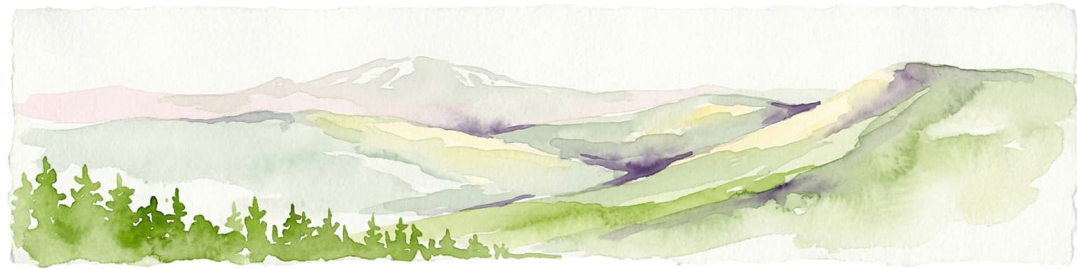
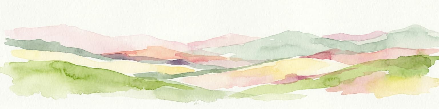
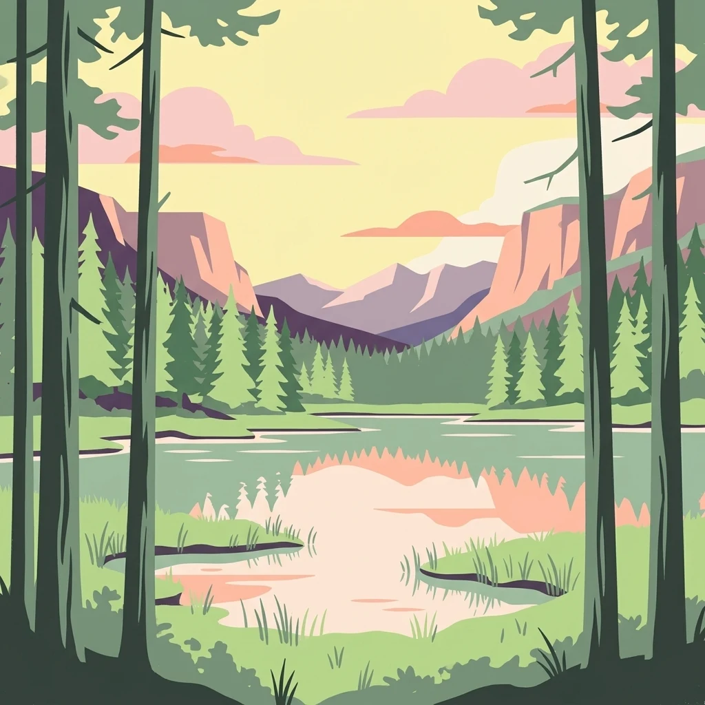
Hamra National Park is best known for its old-growth coniferous forest, which represents some of the oldest tree growth in central Sweden. The park contains trees approximately 400 years old, growing on a distinctive moraine hill that rises from the surrounding flat mire landscape. The southern part of the park features spruce-dominated forest with characteristic beard lichen (skägglav) growing on the trees. The park also protects a vast, road-free and ditch-free mire complex that has remained essentially unmodified, with the Svartån river valley providing an unspoiled waterways corridor through the landscape.

Overview image of Hamra National Park showing what the park is best known for
Visual overview of what makes Hamra National Park a notable national park destination.

Hamra National Park history and protected-area timeline

Hamra National Park was established on March 17, 1909, making it one of Sweden's original national parks created during the country's early conservation efforts. The initial protected area covered just 28 hectares, centering on a small forested moraine hill that represented old-growth coniferous forest in the region.

For over a century, the park remained a modest protected area while surrounding forests were managed for timber production. The surrounding landscape, including the extensive mire systems and forests that now form the expanded park, had been allocated as separate nature reserves at various times.

A major turning point came in 2011 when the national park was significantly expanded to incorporate these surrounding protected areas. The former nature reserves of Långsvedjan, Svartågrenen, and Svartåvallen were absorbed into the national park, increasing its area from 28 hectares to 1,383 hectares. The expanded park was inaugurated on September 16, 2011, with three newly constructed entrance areas and marked trails. This expansion transformed Hamra from a small nature reserve into one of central Sweden's most significant protected areas.

In 2013, the national park received the Sienapris award from Sveriges Arkitekter (Swedish Architects), recognition for the quality of its visitor infrastructure and design.

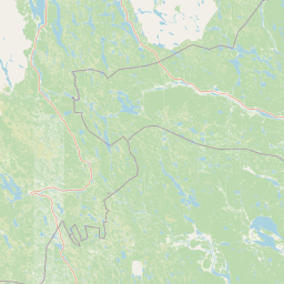
Hamra National Park landscape and geographic character

The landscape of Hamra National Park is characterized by a distinctive geological feature—a low terminal moraine hill that rises from an otherwise flat terrain of forested wetlands. This moraine mound, covering 19.5 hectares, supports the park's oldest forest growth and represents the original core of the protected area. The hill reaches 410 to 415 meters above sea level, standing as a subtle but noticeable landmark in the surrounding landscape.

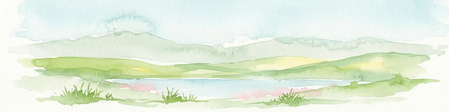
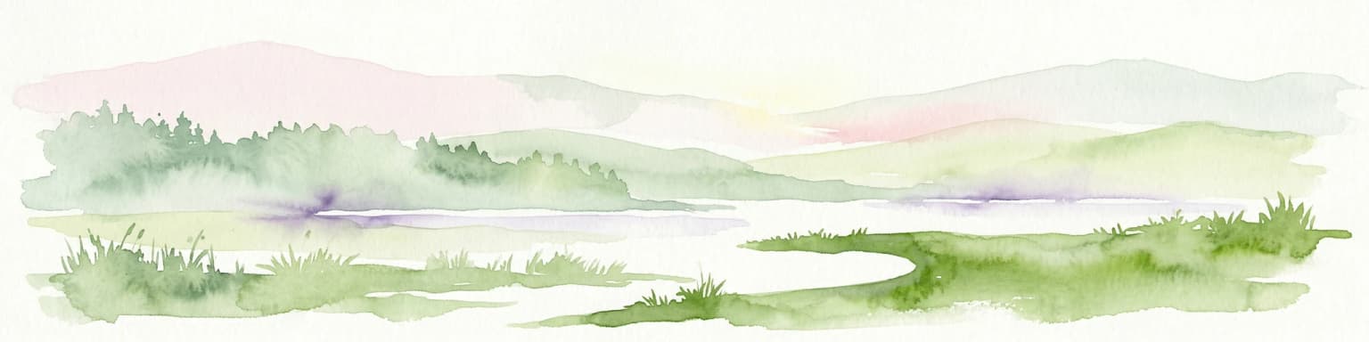
Around the central hill lies a complex of peatlands and mire systems. Approximately half of the expanded national park consists of continuous, undivided mire that has never been drained or modified by ditching. The Svartåmyran mire dominates this wetland system, representing one of the most intact mire complexes in the region. The terrain here is flat and wet, with numerous small tjärnar (small lakes) scattered throughout the landscape.

The Svartån river valley provides the main drainage through the park, running from the northern areas down to its outlet in the Voxnan river. This valley, with its surrounding old-growth forest, has never been subjected to timber floating operations—a remarkable state of preservation that distinguishes this waterway from most others in Swedish forestry landscapes.

The park's topography offers a landscape that feels remote and natural despite its relatively modest size, with the combination of forested hill, open mires, water bodies, and old-growth trees creating a layered and interesting terrain for exploration.

Calm lake reflecting dense forest under cloudy sky
Landscape view of Hamra National Park, Sweden, showing a calm lake reflecting forested shoreline under cloudy skies

Hamra National Park ecosystems, habitats, and plant life

Hamra National Park protects a landscape of old-growth coniferous forest that represents some of the oldest tree growth in central Sweden. The forest here has developed naturally over centuries without significant human intervention, and some trees have reached ages of approximately 400 years. This old-growth character is characterized by large, old trees, standing dead wood (snags), and fallen logs that provide critical habitat for specialized species.

The southern part of the park is dominated by spruce (gran), the most common conifer in Swedish forests. These older spruce trees support a characteristic epiphytic lichen community, including the distinctive beard lichen (skägglav) that grows on the bark. This lichen species is indicative of air quality and old-growth forest conditions.

The park's wetland components—the extensive Svartåmyran mire system and associated smaller lakes—add ecological diversity to the forested areas. The continuous, undrained nature of these mires means they function as natural water storage and carbon sinks, while also providing habitat for specialized wetland species. The Svartån river corridor, never modified by timber floating, maintains natural hydrological conditions and provides a migration route for aquatic organisms.

Compared to some other old-growth forest areas in Sweden, the flora and fauna of Hamra are not exceptionally species-rich in total numbers, but the park's ecological value lies in the integrity and naturalness of its forest-wetland complex rather than in high species counts.

Tall pine trees with a lake visible through the forest
Tall pine trees frame a view of a forested landscape with a lake in the background

Hamra National Park wildlife and species highlights

While the overall species diversity at Hamra National Park is not exceptionally high compared to similar areas, the park supports a specialized insect community that represents an exception to the general pattern. The old-growth forest area originally protected in 1909 is particularly notable for its beetle fauna, with approximately 450 different species of beetles recorded in this relatively small area. This beetle diversity reflects the presence of old-growth forest conditions, including dead wood in various stages of decomposition, that support specialized saproxylic (wood-dependent) species.

The forest and mire landscape provides habitat for typical Swedish woodland species including various small mammals, birds adapted to coniferous forest, and insects. The wetlands support waterfowl and bird species associated with mire environments. The old-growth forest elements, with their standing and fallen dead wood, provide nesting sites and foraging opportunities for woodpeckers and other cavity-nesting birds.

The park's location in central Sweden places it within a transition zone between southern and northern biogeographic regions, giving it a mixed species community that reflects both influences.

Hamra National Park conservation status and protection priorities

Hamra National Park represents an important conservation achievement in central Sweden's protected areas network. The 2011 expansion was significant because it protected a continuous landscape of forest and mire that had remained relatively unmodified, unlike most other areas in the region that have been heavily influenced by forestry operations. The protection of the Svartå river valley, which has never been subjected to timber floating, is particularly notable given the extensive historical modification of Swedish waterways for log transport.

The park's conservation value centers on preserving old-growth forest characteristics that have become rare in the managed landscapes of central Sweden. The 400-year-old trees, the continuity of forest cover, and the presence of dead wood in various stages of decomposition all represent ecological features that take centuries to develop and cannot be recreated through active forest management.

The undrained mire system represents another significant conservation value. Peatlands function as important carbon stores, and their preservation contributes to climate regulation. The road-free and ditch-free condition of the Svartåmyran mire means that its hydrology remains natural, supporting both the mire ecosystem and the downstream water quality in the Voxnan river system.

The park's designation as IUCN Category II ensures it is managed primarily for ecosystem conservation while also providing opportunities for nature-based recreation and environmental education.

Hamra National Park cultural meaning and human context

Hamra National Park is situated in Dalarna, one of Sweden's most culturally significant traditional provinces. Dalarna is known for its distinctive folk culture, including traditional crafts, music, and the iconic Dala horse wooden toy. The landscape of forests and lakes has been central to the regional identity and economy for centuries.

The park lies within the Orsa Finnmark, a historical region that was part of the larger Finnmark area in Dalarna. This name reflects the historical presence of Finnish settlers in the area. The local parish of Los is associated with the park's location.

The relationship between human communities and the forest landscape around Hamra has been shaped by traditional land uses including forestry, small-scale agriculture, and seasonal resource gathering. The expansion of the national park in 2011 reflected a modern understanding of conservation values that recognizes the importance of protecting natural landscapes even in areas with historical human presence.

The park's recent recognition with the 2013 Sienapris award from Swedish Architects highlights the contemporary integration of conservation with thoughtful visitor infrastructure design, reflecting Swedish approaches to balancing nature protection with public access.

Top sights and standout views in Hamra National Park

Hamra National Park protects some of central Sweden's oldest trees, with specimens reaching approximately 400 years of age in the old-growth forest section. The park's 2011 expansion transformed it from a small 28-hectare reserve to a 1,383-hectare protected area that safeguards a near-intact forest and mire landscape. The Svartån river valley has never been subjected to timber floating operations—a rare condition in Swedish forestry history. The park contains approximately 450 beetle species in its old-growth core, reflecting the ecological value of natural forest conditions. A handicap-accessible wooden walkway provides access to the old-growth forest area from the main entrance. The park was recognized with the Swedish Architects' Sienapris in 2013 for its visitor infrastructure.

Best time to visit Hamra National Park

Hamra National Park can be visited throughout the year, with each season offering a different character. The summer months from June through August provide the most accessible trail conditions and the opportunity to experience the full green forest and wetland landscape. The boardwalk sections and marked trails are at their best during this period, and the long Nordic summer days allow extended exploration.

Autumn brings the characteristic colors of the boreal forest, with the spruce and pine taking on different hues as the season progresses. This can be a particularly rewarding time for photography and for experiencing the forest's seasonal rhythms. The wet mire areas may be less accessible during this time but still visible from boardwalks and trail edges.

Winter transforms the park into a snow-covered landscape, with the old-growth trees taking on a different character under snow and frost. The trail system requires appropriate winter conditions and preparation, but the forest in winter offers a distinctive experience of northern nature. Spring brings the thaw and the emergence of new growth, though conditions can be wet underfoot in the mire areas.

The park's relatively high elevation and northern location mean that conditions can change quickly, and visitors should be prepared for variable weather regardless of season.

Park location guide

Geography guide, regional context, and park location map for Hamra National Park

Hamra National Park park geography, regions, and map view in Sweden
Understand where Hamra National Park sits in Sweden through a broader geographic reading of the surrounding landscape, nearby location context, and its mapped position within the national park landscape.

How Hamra National Park fits into Sweden

Sweden, formally the Kingdom of Sweden, is a highly developed Nordic country on the Scandinavian Peninsula in Northern Europe. With a population of 10.6 million and an area of 450,295 km², it is the largest Nordic country by both area and population. Sweden is a constitutional monarchy with Stockholm as its capital and largest city, known for its advanced economy, social welfare system, and membership in the European Union and NATO.

Wider geography shaping Hamra National Park in Sweden

Sweden occupies the eastern portion of the Scandinavian Peninsula in Northern Europe. It borders Norway to the west and north, Finland to the east, and shares a maritime border with Denmark to the southwest across the Øresund. The country has an extensive coastline along the Baltic Sea and Gulf of Bothnia, dotted with thousands of islands. The terrain varies from mountainous regions in the northwest to low-lying coastal areas and inland lakes in the south and central parts.

Map view of Hamra National Park

Use this park location map to pinpoint Hamra National Park in Sweden, understand its exact geographic position, and read its mapped placement within the surrounding landscape more clearly.

Pigeon | © OpenStreetMap contributors

Location context for Hamra National Park

Gävleborg CountyLjusdal Municipality

Trace the visual identity of Hamra National Park's ancient coniferous forests, moraine hills, and expansive, undrained wetlands.

Hamra National Park Landscapes: Explore Old-Growth Forests, Mires, and Protected Area Scenery
Browse a curated collection of imagery to visually grasp the expansive old-growth coniferous forests, unique moraine landscapes, and intricate mire systems of Hamra National Park. These photographs offer a direct look at the park's ancient trees, undisturbed wetlands, and the overall protected environment, providing crucial context for its conservation significance and natural heritage.

Wooden boardwalk trail winding through a forest with tall pine trees, sunlight filtering through the canopy, and a grassy undergrowth

Calm lake reflecting dense forest under cloudy sky

Tall pine trees with a lake visible through the forest

Park atlas

Browse surrounding protected landscapes and compare park geography across Gävleborg County, Sweden

Explore Other National Parks and Protected Areas Near Hamra National Park
Browse national parks and protected areas near Hamra National Park, tracing their mapped extent across central Sweden's varied forest and mire landscapes. Compare different conservation landscapes, understand regional protected area spread, and discover more of Gävleborg County's unique natural terrain and waterways.
National park

Sonfjället National Park: Mapped Alpine Terrain and Protected Landscape in Sweden

Explore the glacial geography and subalpine transition zones.

Sonfjället National Park is a key protected area in central Sweden, offering a unique glimpse into an alpine environment shaped by glacial forces. The park's landscape is characterized by the prominent Sånfjället mountain, steep glacial valleys, mires, and small lakes, showcasing raw, natural terrain. As a southern outpost for subalpine ecosystems, it presents a distinct ecological transition zone valuable for geographic discovery and understanding protected nature.

Watercolor illustration showing mountains, forests, and a river
National parkDalarna County

Fulufjället National Park: Protected Plateau Landscape and Transboundary Conservation in Dalarna County

Sweden's southernmost alpine plateau, mapped geography, and natural wonders.

Fulufjället National Park in Dalarna County, Sweden, protects a significant high plateau landscape, notable for its ancient sandstone geology and unique lichen-heath environments. This national park is home to Njupeskär, Sweden's tallest waterfall, and is part of a transboundary protected area with Norway. Explore the mapped terrain and distinct natural features of this important conservation area within the Scandinavian Mountains.

Area
385 km²
Established
2002
IUCN
II
Visitors
53K annual
Watercolor illustration of a mountainous landscape with a lake, green fields, and pink flowers
National park

Fulufjellet National Park: Protected Boreal Forest Landscape and Regional Geography

Explore mapped boundaries, rolling terrain, and transboundary conservation.

Fulufjellet National Park offers a detailed look at a protected boreal forest ecosystem in southeastern Norway. This page details the park's gently rolling hills, dominated by Norway spruce and Scots pine, interspersed with lakes and peat bogs. It highlights the park's designation as a national park, its establishment in 2012, and its contiguous protected status with Sweden's Fulufjället National Park, contributing to a significant transboundary conservation area. Users can explore its geographic features and protected landscape context within Scandinavia.

Area
82.5 km²
Established
2012
IUCN
II
Relief
Mountain
National parkDalarna County

Töfsingdalen National Park: Ancient Old-Growth Forest in Rugged Terrain

Remote protected landscape within Dalarna County, Sweden.

Töfsingdalen National Park showcases a rare example of an ancient, up-to-500-year-old pine forest thriving in extremely rugged, boulder-strewn valley terrain. This protected area, located in Sweden's Dalarna County, offers a glimpse into a near-wilderness landscape shaped by glacial forces and defined by its remoteness and ecological integrity. Discover the mapped park boundaries and the unique geographic context of this remarkably untouched natural reserve.

Area
16.15 km²
Established
1930
IUCN
II
Relief
Lowland
National parkInnlandet

Gutulia National Park: Protected Southernmost Mountain Birch Forest Landscape Atlas

Explore Norway's unique subarctic forest geography and park boundaries.

Gutulia National Park stands as a key protected area within Norway's Innlandet region, distinguished by its role in preserving the country's southernmost mountain birch forest ecosystem. Covering approximately 23 square kilometers, this national park provides critical insights into subarctic forest ecology at the southern extent of its natural range. MoriAtlas enables detailed exploration of its mapped terrain and geographic context, offering a valuable resource for understanding this significant protected landscape.

Area
23 km²
Established
1968
IUCN
II
Scope
Terrestrial
National parkInnlandet

Femundsmarka National Park: Exploring Norway's Distinctive Wetland and Boreal Protected Landscape

Mapped boundaries and regional geography in Innlandet.

Femundsmarka National Park in Innlandet, Norway, offers a profound look into a preserved wetland wilderness characterized by vast marshlands, numerous lakes, and scattered boreal forests. As a designated national park, its ecological significance is tied to the surrounding water systems and the unique landscape stretching towards the Swedish border. This entry provides detailed geographic context, mapping information, and an understanding of its protected area status, inviting exploration of its remote boreal terrain and notable wildlife habitats.

Area
573 km²
Established
1971
IUCN
II
Relief
Mixed relief
National parkVästmanland County

Färnebofjärden National Park: Protected River Landscape and Birdlife Atlas

Explore Västmanland County's unique riverine protected area and mapped terrain.

Färnebofjärden National Park offers a unique geographic perspective as a protected national park situated in Sweden's Västmanland County. This page details the park's distinct riverine landscape, characterized by the Dalälven River's intricate network of channels, wetlands, and islands, and its position at a critical ecological frontier. Discover the mapped boundaries and regional context of this important protected area, renowned for its exceptional bird populations and diverse natural habitats.

Area
101 km²
Established
1998
IUCN
II
Relief
Lowland
National park

Forollhogna National Park: Norway's Gently Rolling Alpine Protected Landscape Atlas

Explore unique terrain and vital wild reindeer habitat in Central Norway.

MoriAtlas provides structured geographic context for Forollhogna National Park, Norway's nineteenth national park. This area is best known for its distinctively gentle, rolling alpine terrain, a contrast to other Norwegian mountain ranges, and as a critical habitat for wild reindeer. Discover the park's unique landscape character, its role as a protected area, and the ongoing cultural traditions tied to its mountain pastures, all visualized within a comprehensive atlas framework.

Area
1,062 km²
Established
2001
IUCN
II

Common questions about visiting, size, designation, and location context for Hamra National Park

Hamra National Park FAQs for park facts, access, geography, and protected area context
Find quick answers about Hamra National Park, including protected-area facts, park geography, trail and visitor context, and how the park fits into its surrounding country and regional landscape.
MoriAtlas Explorer

Continue Your Protected Areas Search Across the Global Atlas

Deepen your exploration by continuing the structured search for national parks and protected areas worldwide. Utilize the comprehensive filtering capabilities to compare different conservation landscapes and refine your understanding of global park geography. Discover more about the distribution and characteristics of protected natural areas.

Global natural geography