Mori Atlas logo
Park earthquake history

A comprehensive catalogue of earthquakes located within the vicinity of this coastal Queensland protected island.

Recorded Seismic Activity and Historical Earthquake Data for Holbourne Island National Park

This collection provides a structured record of seismic events associated by proximity with Holbourne Island National Park. The catalogue includes detailed information such as event dates, magnitudes, depths, and calculated epicentre distances relative to the park boundaries. These historical entries facilitate regional seismic research and geography exploration by providing clear access to recorded data from established sources.

Related tags

Bird SanctuaryTurtle Nesting SiteCoastal IslandMaritime HistoryCoral Sea

Small island sanctuary with rich maritime history on the Queensland coast

Holbourne Island National Park

Holbourne Island National Park is a compact coastal protected area located in the Coral Sea off the Queensland coast, approximately 983 kilometres northwest of Brisbane. The park encompasses the entirety of Holbourne Island, a small island established as a national park in 1982 under the management of the Queensland Parks and Wildlife Service. The island holds significant ecological value as both a natural bird sanctuary and an important turtle nesting area, supporting wildlife populations within a relatively small land area of 34 hectares.

Location
Australia
Park type
National park
Established
1982
Area
0.3 km²
Holbourne Island National Park Protected Landscape

Navigate Holbourne Island National Park records by depth and distance

Examine earthquakes around Holbourne Island National Park

For Holbourne Island National Park, reported earthquake epicentres are associated with the Coral Sea reserve through calculated park distance, not through its beaches, coastal vegetation, bird habitat, or turtle nesting. Dates, magnitudes, depths, localities, sources, and distance values allow historical comparison without implying island effects, boundary occurrence, present hazard, or prediction.

Sort by
Magnitude
Location

This page describes catalogued earthquakes associated with the park by epicentre location and distance. It does not establish causation, assess current danger, or predict future earthquakes.

No earthquake records match the current filters

Park atlas

Expand beyond Holbourne Island National Park earthquake history

Browse further parks after Holbourne Island National Park

Holbourne Island National Park's earthquake evidence ends before readers continue from its Coral Sea island, bird-sanctuary, and turtle-nesting context into other protected places. The destinations do not imply shared island landscape, national-park status, geographic closeness, geology, seismic records, hazards, risk, wildlife, or comparable atlas coverage.
A wide watercolor illustration showing green hills in the distance, a body of shallow water with pink and green patches, and foreground vegetation including green grasses and pink coral-like structures.
Marine protected areaQueensland
Park boundaries overlap#1 closest

North

Great Barrier Reef Marine Park: Atlas and Geographic Context for Queensland Protected Waters

Exploring the reef system and marine conservation zones in northeastern Australia

The Great Barrier Reef Marine Park stands as an internationally significant marine protected area. By spanning a massive stretch of the Queensland coast, this protected landscape provides a critical framework for marine governance and reef conservation. Users can examine the unique zoning and distribution of coral reef habitats that define this extensive tropical ecosystem.

Area
343,966 km²
Established
1975
Climate
Tropical
Scope
Marine
National parkQueensland
28 km away#2 closest

South

Gloucester Island National Park: A National Park within Queensland's Diverse Geography

Mapped protected area and natural landscape context.

Gloucester Island National Park represents a distinct protected landscape in Queensland, Australia. This entry focuses on its identity as a national park, providing atlas-level detail on its geographic scope and mapped boundaries. Understand how this protected area fits within the broader natural terrain and regional geography of northeastern Australia, offering a unique lens for map-based exploration and discovery.

Area
29.6 km²
Established
1994
IUCN
II
Relief
Lowland
National parkQueensland
42 km away#3 closest

South

Dryander National Park: Queensland's Protected Landscape and Geographic Identity

Mapped boundaries and natural terrain context in Queensland.

Delve into the protected landscape of Dryander National Park, a significant national park located in Queensland, Australia. This entry provides essential geographic context, detailing the park's boundaries and its representation within the broader regional atlas of protected areas. Understand its role as a mapped natural landscape contributing to the unique geography of Queensland, ideal for detailed exploration without travel logistics.

Area
118.82 km²
Established
1938
IUCN
II
Relief
Mountain
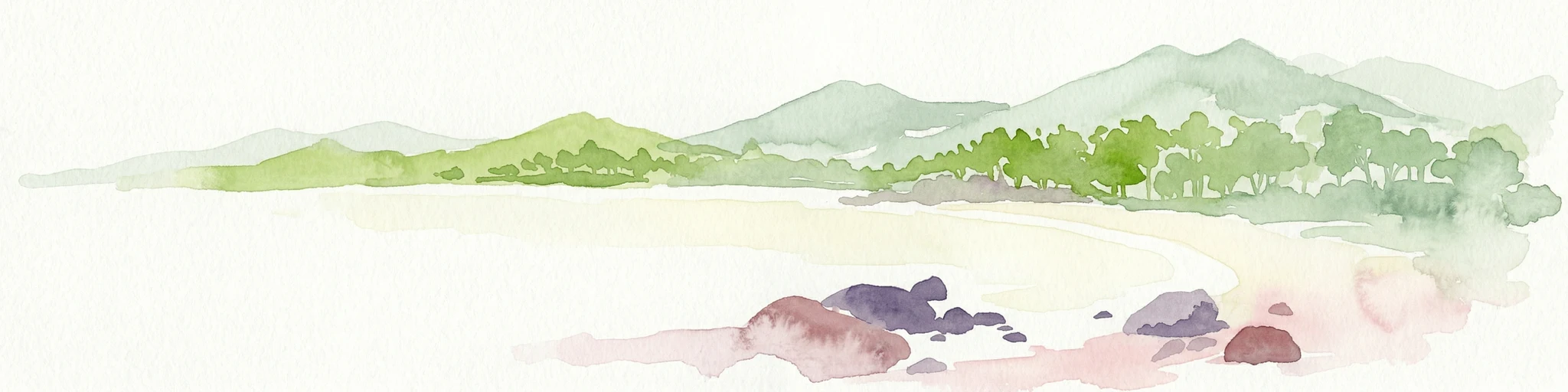
Watercolor painting showing a coastal scene with sand, rocks, green trees, and mountains in the background
National parkQueensland
49 km away#4 closest

West

Cape Upstart National Park: Dramatic Queensland Coastal Protected Landscape

Explore Indigenous heritage and mapped terrain of this national park.

Cape Upstart National Park is a distinguished protected area in North Queensland, notable for its spectacular coastal headland that serves as a landmark against the Coral Sea. This park is a testament to the enduring connection between Indigenous heritage and natural landscapes, holding profound cultural significance for the Juru People whose ancestral lands it encompasses. Users can explore its mapped boundaries, diverse terrain from sandstone ridges to coastal dunes, and the intersection of geological features with deep cultural narratives, making it a crucial point for understanding protected area identity and regional geography.

Area
84.8 km²
Established
1969
IUCN
II
Relief
Lowland
National parkQueensland
65 km away#5 closest

Southeast

Whitsunday Islands National Park: Iconic Queensland National Park with Tropical Island Landscapes

Explore mapped protected boundaries and diverse coastal geography.

Whitsunday Islands National Park encompasses a remarkable collection of 74 islands off Queensland's coast, celebrated for their pristine tropical island landscapes and iconic Whitehaven Beach. This national park provides a unique opportunity to explore Australia's protected coastal and marine environments, offering detailed geographic context, mapped island topography, and insights into the park's role within the Great Barrier Reef World Heritage Area.

Area
170 km²
Established
1944
IUCN
II
Relief
Lowland
National parkQueensland
67 km away#6 closest

Southwest

Mount Aberdeen National Park: A Queensland National Park with Unique Cloud Forest and Granite Peaks

Explore mapped terrain and protected landscape context in North Queensland.

Mount Aberdeen National Park represents a significant protected landscape in Queensland, defined by its striking granite peaks and an ecologically vital tropical cloud forest. This national park covers 29.10 square kilometers, showcasing unique flora such as hoop pine forests and rare red gum-snow grass communities. Its geographical position and unusual highland environment create a distinctive natural asset within the broader regional geography, offering valuable insights into Australia's protected area network and diverse ecosystems.

Area
29.1 km²
Established
1967
IUCN
II
Relief
Mountain
National parkQueensland
68 km away#7 closest

Southeast

Conway National Park: Queensland National Park Geographic Exploration and Protected Landscape

Mapped boundaries and regional natural terrain of this Australian national park.

Delve into Conway National Park, a key protected area situated in Queensland, Australia. This national park offers rich geographic discovery, allowing for detailed exploration of its mapped landscape and protected boundaries. Understand its role within the broader atlas of Australian natural regions, appreciating its specific landscape characteristics and its contribution to the regional geography of northeastern Australia.

Area
225 km²
Established
1938
IUCN
II
Relief
Lowland
National parkQueensland
71 km away#8 closest

Southeast

Molle Islands National Park: Queensland National Park Atlas and Protected Landscape Identity

Mapped boundaries and regional geographic context within northeastern Australia.

Molle Islands National Park is a designated national park located in Queensland, Australia. This dedicated atlas entry provides an understanding of its protected landscape character, focusing on its mapped geographic boundaries and its position within the regional context of northeastern Australia. Explore how this protected area contributes to the broader understanding of Queensland's natural geography and conservation lands.

Area
18 km²
IUCN
II
Climate
Tropical
Access
Moderate access
MoriAtlas Explorer

Continue Exploring Holbourne Island National Park's Protected Landscape and Geographic Context

Deepen your understanding of Holbourne Island National Park's role as a significant protected area by exploring its mapped geography and ecological importance. This small island national park offers a focused lens on coastal wildlife conservation, maritime history, and Queensland's unique island landscapes. Continue your atlas exploration to discover how this protected area contributes to the broader natural and historical context of Australia's marine geography, providing valuable insights beyond its immediate boundaries.