Mori Atlas logo
Nearby park discovery

Map-based regional overview of protected lands and natural landscapes surrounding the reserve

Geographic Distribution of Protected Natural Areas Near Hundsheimer Berg in Lower Austria

Examine the surrounding regional geography and spatial distribution of protected natural areas near the Hundsheimer Berg nature reserve. This atlas view highlights neighboring protected landscapes, revealing the broader environmental context of this distinctive dry-hill outlier within the Carpathian mountain chain. Trace the proximity of adjacent ecological sites and analyze regional land designations across eastern Lower Austria.

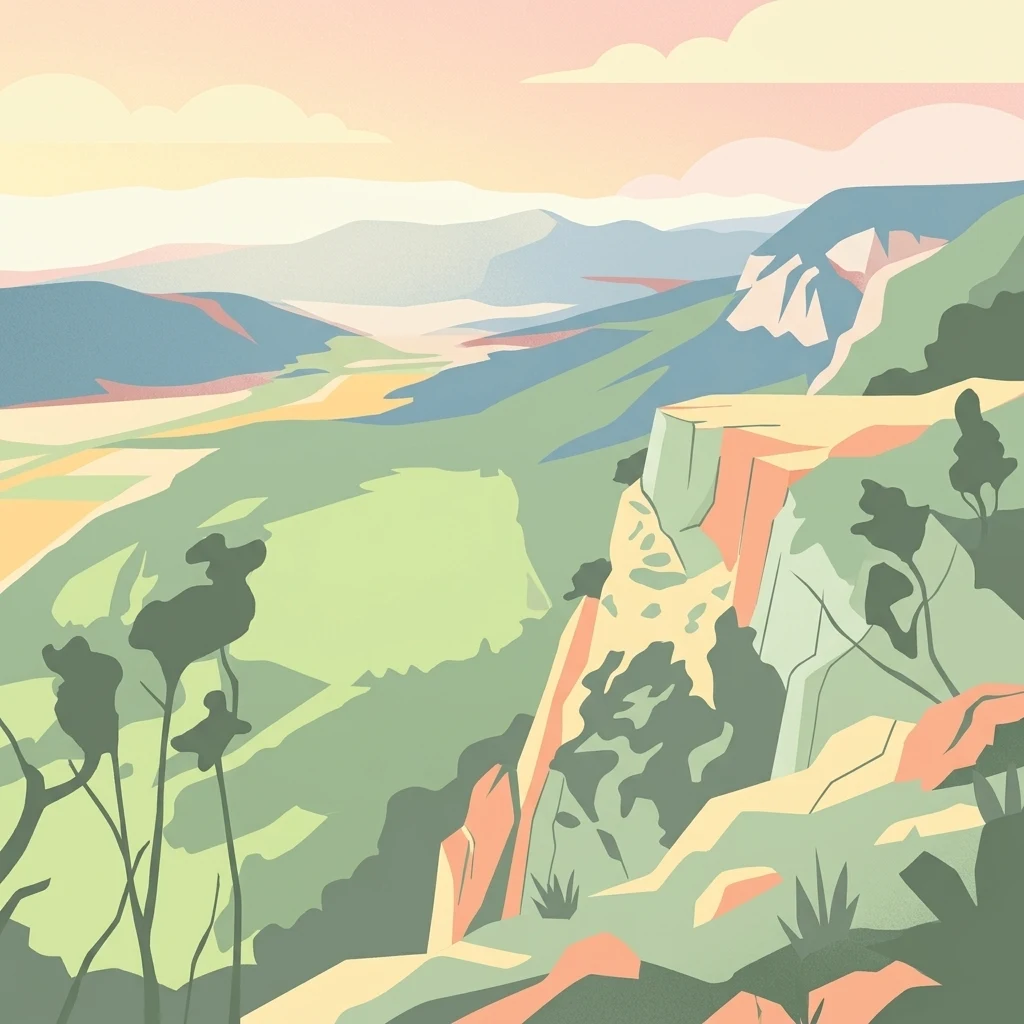
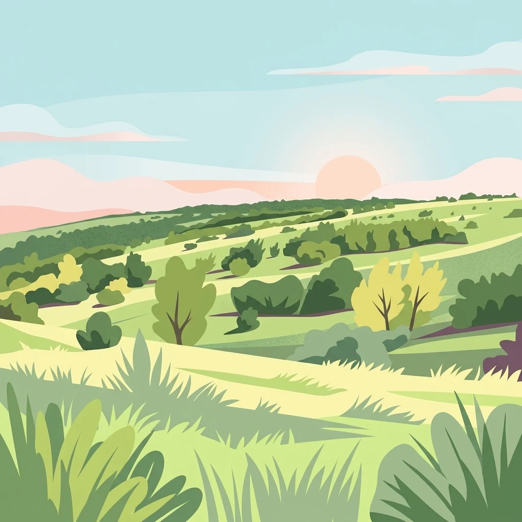
A flat digital illustration of rolling hills covered in grassland and scattered shrubs at sunrise or sunset.

A dry, steppe-like island of Carpathian limestone rising above the flatlands of Lower Austria

Hundsheimer Berg Nature Reserve

The Hundsheimer Berg Nature Reserve protects one of the most distinctive dry-hill landscapes in eastern Austria. Located on the slopes of the Hundsheimer Berg in the municipalities of Hundsheim and Hainburg an der Donau in Lower Austria, the reserve covers roughly 1.66 square kilometers of rock steppes, dry and semi-dry grasslands, hedges, and open dry forests, habitats that have become increasingly rare across Central Europe over the past century. Set apart from the surrounding agricultural flatlands, the Hundsheimer Berge form a geologically striking outlier of the Little Carpathians, the westernmost spur of the entire Carpathian mountain chain. The reserve was established in 1965 specifically to preserve these vulnerable dry biotopes, and ownership is shared between WWF Austria and the municipality of Hundsheim. Today it is recognized as both a national nature reserve and part of the broader Natura 2000 network under the EU Habitats Directive. The site is valued for its rich flora and fauna, including more than a thousand species of butterflies and moths and a wide range of dry-grassland plants, reptiles, and invertebrates with strong pannonian biogeographic character. Beyond its ecological significance, the reserve is used for teaching and research by institutions such as the University of Vienna.

Location
Austria
Park type
Nature reserve
Established
1965
Area
1.7 km²
Highest point
481 m
Hundsheimer Berg Protected Area Map
Regional park map

See the ranked park cluster in its geographic setting

Nearby parks around Hundsheimer Berg Nature Reserve

This regional map shows the same 20 nearby parks ranked below around Hundsheimer Berg Nature Reserve. Select a ranked marker to highlight that park’s boundary where boundary data is available.
Reference park: Hundsheimer Berg Nature ReserveRanked nearby park20 nearby parks shown
20 nearby parks

Distance-ranked conservation areas and surrounding regional park geography in Austria

Parks and Protected Areas Geographically Near Hundsheimer Berg

Geographic separation metrics establish a ranked index of protected areas surrounding Hundsheimer Berg for comparative spatial analysis. Country context and recorded environmental attributes evaluate broader regional park geography without implying shared habitats.
Nature reserveLower Austria
Mapped park locations coincide#1 closest

Spitzerberg Nature Reserve: Geography and Protected Landscapes of Lower Austria

A vital conservation site featuring arid rock steppes and limestone slopes.

Located in the province of Lower Austria, Spitzerberg serves as a essential nature reserve protecting a rare concentration of Pannonian dry habitats. The site is defined by its steep-sided hill structure, rocky limestone outcrops, and thin soils that support a variety of specialized plant and animal species adapted to this arid environment.

Area
226 km²
Established
1981
IUCN
IV
Relief
Upland
National parkLower Austria
About 2.4 km away#2 closest

Northwest

Danube-Auen National Park: Protected Floodplain Ecosystem and Regional Geography

Mapped boundaries and vital riparian landscape in Lower Austria.

Delve into the unique protected landscape of Danube-Auen National Park, a cornerstone of Central European riparian conservation. This page offers detailed insights into its mapped boundaries, the dynamic interplay of river channels, lowland forests, and wetlands, and its significant role within the geographic context of Lower Austria. Understand the atlas value of this protected area, ideal for discovering rich natural terrain and ecosystem context.

Area
93 km²
Established
1996
IUCN
II
Relief
Lowland
Watercolor painting showing a landscape with rolling terrain, water features, and distant mountains
National parkBurgenland
About 23 km away#3 closest

South

Neusiedler See-Seewinkel National Park: Protected Steppe Lake Landscape in Burgenland

Explore mapped wetland geography and birdwatching significance.

Neusiedler See-Seewinkel National Park showcases a rare steppe lake environment and extensive wetland habitats at the eastern edge of Austria, within the Burgenland region. This protected area is globally recognized for its exceptional avian diversity and the unique ecological mosaic formed by reed beds, salt marshes, and seasonal pools. Explore its mapped boundaries and distinctive Pannonian geography for a deep understanding of this vital European protected landscape.

Area
97 km²
Established
1993
IUCN
II
Relief
Lowland
A horizontal watercolor illustration depicting a quiet riverbank with soft green trees, light vegetation, and calm water reflecting the landscape.
Nature reserveVienna
About 32 km away#4 closest

West

Lobau Nature Reserve: Mapping the Protected Danube Floodplain Landscapes of Vienna

Riparian forests, oxbow lakes, and historic wetland ecosystems.

Lobau preserves the ecological memory of the Danube through a landscape of slow-moving water bodies and dense forest stands. Situated within Vienna, this protected area features a distinct topography of dry gravel terraces, reedy ponds, and riparian corridors, offering significant insights into the region's natural history and riverine geography.

Area
22 km²
Established
1905
Relief
Lowland
Climate
Temperate
Watercolor painting of a shallow lake scene with green reeds in the foreground, small trees on the shoreline, and rolling hills in the soft, hazy background.
Nature reserveAustria
About 35 km away#5 closest

Southwest

Lake Neusiedl: Protected Nature Reserve and Pannonian Steppe Geography in Austria

An endorheic lake system and critical wetland sanctuary.

Lake Neusiedl is a distinct nature reserve representing a rare European steppe lake environment. Its geography includes a vast ring of Phragmites reed beds, saline wetlands, and surrounding lowlands that form a vital migratory corridor. The lake serves as a cornerstone for protected landscapes in Austria, blending natural marshland dynamics with a deeply storied cultural history.

Area
315 km²
Established
1993
Relief
Lowland
Climate
Temperate
Watercolor illustration of a landscape with green hills, a body of water, and trees under a soft sky
National parkGyőr-Moson-Sopron
About 46 km away#6 closest

South

Fertő-Hanság National Park: Central European Wetland and Salt Lake Protected Area

Mapped Geographic Boundaries and Landscape Context

Fertő-Hanság National Park, situated in Győr-Moson-Sopron, Hungary, is a vital protected landscape renowned for its shallow salt lake and expansive marshlands. This page provides an atlas-focused discovery of its protected area, highlighting the unique interplay of reed beds and alkaline grasslands. Understand the park's geographic setting and its role as a significant wetland ecosystem for bird populations and specialized flora.

Area
235.88 km²
Established
1991
IUCN
II
Relief
Lowland
A stylized digital illustration of a mountainous landscape at sunset, featuring prominent steep limestone cliffs in the foreground and a vast valley extending into the distance under a warm-toned sky.
Nature reserveLower Austria
About 74 km away#7 closest

Southwest

Hohe Wand Nature Park: Mapped Geography and Protected Landscapes in Lower Austria

A limestone plateau mountain at the Alpine-Pannonian transition

Located in Lower Austria, Hohe Wand Nature Park encompasses a distinct limestone plateau and dramatic southeastern cliffs. Its protected status reflects the convergence of Alpine and Pannonian geography, offering a unique opportunity to study karst geology, exposed cliff habitats, and the transition zone between high mountain ranges and the Vienna Basin lowlands.

Relief
Mountain
Climate
Temperate
Access
Easy access
Scope
Terrestrial
Protected landscapeLower Austria
About 76 km away#8 closest

West

Vienna Woods: Protected Landscape, Forested Highlands, and Alpine Foothill Geography

Natural terrain and protected boundaries in Lower Austria

The Vienna Woods encompass a distinct geographic region where sandstone ridges meet limestone formations. This protected landscape provides a dense network of forest habitats, river gorges, and significant peaks overlooking the Danube. Its structure traces the edge of the Alps, offering a rich study in regional geology, elevation gradients, and the intersection of natural wilderness with the surrounding basin environment.

Area
1,056.45 km²
Established
1987
Relief
Mountain
Climate
Temperate
A soft watercolor painting of a green, rolling grassland landscape with scattered trees and distant hills against a pale sky.
Natural monumentSouth Moravian Region
About 80 km away#9 closest

North

Na cvičišti Natural Monument: A Geography of Protected Grasslands in South Moravia

Mapped terrain of a significant Czech protected natural monument

Na cvičišti represents a specialized protected landscape in the South Moravian Region, defined by a fine-textured mosaic of dry, sun-exposed grasslands and shrubby successional stages. Once a military site, the area now functions as a vital refuge for steppic flora and diverse butterfly populations. Its mapped boundaries reveal an open, rolling topography that offers a distinct contrast to the surrounding agricultural and viticultural land use of the Mikulov district.

Area
0.545 km²
Established
2016
IUCN
IV
Relief
Lowland
Natural monumentJihomoravský kraj
About 92 km away#10 closest

Northeast

Velický hliník Natural Monument: A Case Study in Carpathian Landscape Restoration

Analyzing the geography of South Moravian protected clay habitats

Deep dive into the geomorphology and protected landscape of Velický hliník in the Czech Republic. This site of community importance demonstrates how former clay extraction zones transform into complex wetland mosaics, supporting specialized biodiversity within the Žalustín Highlands.

Area
0.053 km²
Established
2013
IUCN
IV
Relief
Upland
Natural monumentJihomoravský kraj
About 96 km away#11 closest

North

Vojenské cvičiště Bzenec Natural Monument in Jihomoravský kraj: A Protected Sand-Dune Habitat

Mapped protected areas and sandy steppe geography in the South Moravian Region

Vojenské cvičiště Bzenec preserves an unusual open sandy landscape formed by aeolian processes, now serving as a critical refuge for rare insects and dry-grassland plants. Its distinct geography of low dunes and scattered pine groves provides a vital example of steppe-like habitat conservation in South Moravia, highlighting the ecological value of former military lands.

Area
0.368 km²
Established
1994
IUCN
IV
Relief
Lowland
A wide, panoramic watercolor illustration showing a calm wetland scene with green reeds in the foreground, a body of water, and a line of trees and hills in the background under a pale sky, with a faded grey area at the bottom.
Natural monumentJihomoravský kraj
About 98 km away#12 closest

North

Vypálenky Natural Monument: Protected Wetland Geography and Regional Map Context

Lowland floodplain habitat in the South Moravian region

The Vypálenky Natural Monument protects sixty-five hectares of essential floodplain habitat within the Morava River valley. This wetland landscape, defined by its flat terrain and groundwater-fed pools, supports significant communities of rare invertebrates and amphibians, anchoring a larger ecological corridor within the Bzenecká Doubrava and Strážnické Pomoraví protected network.

Area
0.653 km²
Established
2014
IUCN
IV
Relief
Lowland
Natural monumentJihomoravský kraj
About 101 km away#13 closest

Northeast

Miliovy louky Natural Monument: South Moravia Protected Grassland Geography

Mapping the xerothermic steppe and meadow landscape

Miliovy louky is a protected natural monument located in the Jihomoravský kraj region, noted for its surviving patch of semi-natural dry steppe vegetation. This compact reserve offers a distinct look at the region's historical open terrain, providing a critical haven for dryland flora and butterfly species amidst a backdrop of managed agricultural farmland.

Area
0.084 km²
Established
2014
IUCN
IV
Relief
Upland
Watercolor painting of green rolling hills and small groves of trees, with a minimalist, airy style.
Nature reserveZlín Region
About 102 km away#14 closest

Northeast

Mechnáčky Nature Reserve: Protected Meadow Biodiversity in the Zlín Region of the Czech Republic

Orchid-rich grasslands and managed Carpathian meadow landscapes

Mechnáčky represents an important nature reserve defined by its remnant flower-rich meadows and diverse invertebrate habitats. Situated in the Zlín Region, this site provides a focused look at the conservation of traditional Carpathian landscapes, including calcareous grasslands and spring-fed slopes that define the unique botanical character of this Czech protected area.

Area
0.109 km²
Established
1982
IUCN
IV
Relief
Upland
Watercolor illustration showing a winding river through rolling hills with trees
National parkSouth Moravian Region
About 103 km away#15 closest

Northwest

Podyjí National Park: Explore Czech Republic's Intact River Canyon Ecosystem

Mapped Boundaries and Protected Landscape of South Moravia

Podyjí National Park, situated in the South Moravian Region, offers a profound look into one of Central Europe's most ecologically preserved river valleys. This national park is defined by its dramatic 220-meter deep Dyje River canyon, featuring rocky cliffs, stone seas, and a rich mosaic of forest and steppe habitats. MoriAtlas provides structured geographic information to analyze its unique landscape context, biodiversity, and role as a protected natural area within the Czech atlas.

Area
63 km²
Established
1991
IUCN
II
Relief
Upland
National parkAustria
About 106 km away#16 closest

Northwest

Thayatal National Park: Austria's Smallest Protected Landscape and Dramatic River Valley

Explore the mapped geography of a breakthrough valley and its rich biodiversity.

Thayatal National Park, Austria's smallest national park, offers a concentrated study in protected landscape discovery. Its core feature is the spectacular Thaya River breakthrough valley, a deep gorge cutting through gneiss terrain with steep, forested slopes. This page provides context for its mapped protected area, highlighting its exceptional biodiversity and its role as a transboundary conservation zone with the adjacent Czech Podyjí National Park. Understand the geographic setting and unique landscape character of this significant natural region.

Area
13.3 km²
Established
2000
IUCN
II
Relief
Mountain
A watercolor painting showing a stylized, panoramic landscape of rolling green hills, trees, and distant soft mountains.
Natural monumentZlínský kraj
About 106 km away#17 closest

North

Medlovický lom Natural Monument: Geomorphological and Geological Atlas of Zlínský Kraj

Protected geological profile and amphibian habitat in eastern Moravia

Explore the geological heritage of Medlovický lom, a protected site defined by its extensive exposure of fired clay known as porcelanite. This former quarry offers a window into the geomorphological history of the Vážanská vrchovina, contrasting its artificial rock faces with the surrounding agricultural terrain and hills of the Moravian region. The site acts as both an educational geological record and a small-scale sanctuary for aquatic wildlife, maintaining its status as a landmark of local earth science.

Area
0.011 km²
Established
1997
IUCN
III
Relief
Upland
Protected landscapeCzechia
About 107 km away#18 closest

North

Přírodní park Ždánický les: Exploring Protected Woodlands and Moravian Carpathian Landscapes

Regional woodland geography and floodplain meadow systems

Přírodní park Ždánický les spans nearly 182 square kilometers of rolling terrain across the Vyškov and Hodonín districts. This protected landscape preserves extensive broadleaf forests, including mature beech and oak stands, while maintaining unique floodplain meadows that serve as essential habitat corridors within the wider Moravian Carpathian region.

Area
181.89 km²
Established
1996
Relief
Upland
Scope
Terrestrial
A watercolor painting showing a soft, stylized landscape of rolling hills, a central body of water, and small shrubs in the foreground, all set against a white background.
Natural monumentSouth Moravian Region
About 111 km away#19 closest

Northwest

Mikulovické jezero Natural Monument: Geographic Boundaries and Wetland Atlas

A rare upland basin in the South Moravian Region

Mikulovické jezero represents a significant natural monument in the South Moravian Region. This unique upland basin, formed in a plateau depression, serves as a crucial refuge for specialized wetland species and rare halophilic vegetation. Explore the geographic footprint of this precipitation fed lake and its surrounding habitat structures within the Znojmo District.

Area
0.027 km²
Established
1999
IUCN
IV
Relief
Lowland
Natural monumentJihomoravský kraj
About 112 km away#20 closest

North

Velké Družďavy Natural Monument: Steppe Geography and Protected Landscapes in Jihomoravský kraj

Rare xerothermic habitats on Miocene sandy substrates

Velké Družďavy represents a vital, small-scale protected area in the Czech Republic. Defined by its south-facing slope and sandy Miocene substrate, the site supports significant populations of thermophilic plants. This natural monument illustrates the challenges of managing xerothermic steppe vegetation against encroaching forest succession, providing a distinct geographic focal point within the regional protected area network of South Moravia.

Area
0.014 km²
Established
1953
IUCN
IV
Relief
Upland
Distance methodology

Geographic measurements, not driving distances

How nearby park distances are calculated

Distances use park boundaries whenever the available geometry allows it. When one or both boundaries are missing, the mapped park locations provide a clearly labelled estimate. Every value represents straight-line geographic separation and does not use roads or routing.

Boundary distance

Calculated between the nearest points of both park boundaries.

Location-to-boundary estimate

Estimated from one mapped park location to the nearest boundary of the other park.

Mapped-location estimate

Estimated between the mapped locations of both parks.

MoriAtlas Explorer

Explore the Protected Geography of Hundsheimer Berg Nature Reserve

Deepen your understanding of this significant Carpathian outlier by analyzing the terrain, protected boundaries, and unique dry grassland habitats within the MoriAtlas database. Discover the geological and ecological factors that shape this important nature reserve in Lower Austria.

Global natural geography