Mori Atlas logo
Park earthquake history

A structured geographical catalogue of seismic events identified by epicentre proximity to the archipelago.

Recorded Historical Earthquake Activity and Seismic Records for Lastovo Nature Park

This historical catalogue provides a structured dataset of recorded seismic events associated by location with the Lastovo Nature Park archipelago in Croatia. Users can browse individual earthquake records, including event dates, magnitudes, focal depths, and calculated epicentre distances relative to the park. The collection draws upon standardized seismic data to offer clear geographical context for geological activity within the broader Dalmatian region.

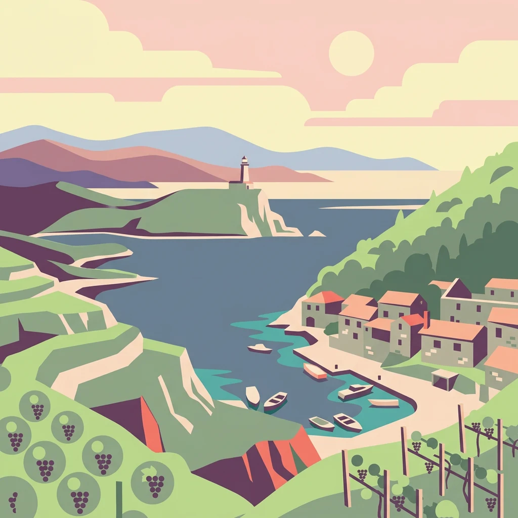
Stylized illustration of a coastal village with boats, lighthouse on a cliff, vineyards, and mountains in the background

Remote Dalmatian island archipelago with Venetian heritage and pristine Mediterranean forests

Lastovo Nature Park

Lastovo is a nature park encompassing a remote island archipelago in the central Dalmatian region of Croatia, located approximately 13 kilometers south of Korčula in the Adriatic Sea. The protected area includes the main island of Lastovo along with 45 smaller islands and islets, forming one of the most isolated inhabited island groups in the Adriatic. The landscape features a distinctive karst terrain with 46 hills and 46 karstic fields, crowned by Mount Hum at 415 meters elevation. Despite suffering from major wildfires in 1971, 1998, and 2003, approximately 60-70% of the island remains covered with Mediterranean forests of Holm Oaks and Aleppo Pines. The archipelago was designated as a nature park in 2006, making it the eleventh protected area of its kind in Croatia, recognizing both its significant natural biodiversity and its rich cultural heritage spanning millennia of human occupation.

Location
Croatia
Park type
Protected area
Established
2006
Area
46.9 km²
Highest point
415 m
Lastovo Protected Area Map

Filter Lastovo earthquake records by magnitude, depth, and distance

Investigate historical earthquake observations associated with Lastovo

Lastovo Nature Park’s earthquake catalogue relates reported epicentres to its remote Dalmatian archipelago by calculated protected-area distance, without assigning seismic meaning to karst terrain, island cliffs, or Adriatic waters. Each entry retains its date, magnitude, depth, locality, source, and park distance for historical comparison without asserting coastal effects, present risk, or recurrence.

Sort by
Magnitude
Location

This page describes catalogued earthquakes associated with the park by epicentre location and distance. It does not establish causation, assess current danger, or predict future earthquakes.

No earthquake records match the current filters

Park atlas

Continue from Lastovo earthquake evidence to new places

Browse further protected park destinations after Lastovo

Lastovo anchors its earthquake collection before the atlas moves from a remote Croatian Adriatic archipelago and Mediterranean karst nature park to other destinations. The following pages do not signify shared island geography, nature-park designation, proximity, geology, seismic records, hazards, risk, marine setting, or equivalent atlas coverage.
Watercolor painting showing two pink-hued lakes surrounded by green vegetation and distant mountains under a light yellow sky
National parkCroatia
13 km away#1 closest

East

Mljet National Park: Protected Karst Terrain and Unique Marine Lakes in Croatia

Explore mapped park boundaries and Mediterranean island geography.

Mljet National Park represents a significant protected landscape within the Adriatic Sea, celebrated for its distinctive karst terrain and the extraordinary phenomenon of its saltwater lakes, Veliko and Malo jezero. This national park showcases some of the most intact Mediterranean forests in the region, offering a unique geographic profile for atlas-based discovery. Examine the park's protected status and its relationship to the surrounding island and marine geography.

Area
53 km²
Established
1960
IUCN
II
Relief
Lowland
Watercolor illustration of a landscape with green hills, a river, and distant mountains under a light sky
Protected landscapeDalmatia
About 57 km away#2 closest

North

Biokovo Nature Park: Protected Landscape and Karst Terrain in Dalmatia

Explore Dalmatia's premier protected mountain range along the Adriatic.

Biokovo Nature Park is a striking protected landscape situated in the Dalmatia region of Croatia, characterized by its immense limestone massifs that create a formidable barrier between the coast and the continental interior. This protected area is defined by its classic karst topography, featuring a complex network of sinkholes and caves, and offers unparalleled views from peaks like Sveti Jure. MoriAtlas provides detailed geographic context for understanding Biokovo Nature Park's unique terrain, mapped boundaries, and its significant role in the regional landscape.

Area
196 km²
Established
1981
IUCN
V
Relief
Mountain
Watercolor illustration of a tree, green hills, and distant water view
National parkApulia
83 km away#3 closest

Southwest

Gargano National Park: Apulia's Protected Landscape and Regional Geographic Context

Mapped boundaries and natural terrain of a key Italian national park.

Delve into Gargano National Park, a designated national park situated in the Apulia region of Italy. This protected landscape offers valuable insights into the geography of the Gargano promontory. Through MoriAtlas, users can explore its mapped boundaries, understand its terrain, and connect it to the broader regional geography of southern Italy, providing a solid foundation for protected-area discovery.

Area
1,181.44 km²
Established
1991
IUCN
II
Relief
Mixed relief
A pale, wide watercolor illustration showing rolling green hills and a winding stream, framed by distant, hazy mountain ridges.
Protected landscapeMontenegro
About 115 km away#4 closest

East

Orjen Protected Landscape: Montenegro Mountain Geography and Karst Atlas

High-altitude karst massif and Dinaric coastal mountain.

Orjen rises as a dramatic limestone block above the Adriatic coast of Montenegro, forming a high-altitude sanctuary defined by intensive Pleistocene glaciation and record-breaking annual precipitation. This protected landscape encompasses extensive dolines, roches moutonnées, and specialized cold-air refugia, providing a detailed study of sub-Mediterranean highland vegetation and complex subterranean karst drainage.

Area
400 km²
Established
2017
Relief
Mountain
Climate
Mediterranean
National parkŠibenik-Knin County
119 km away#5 closest

Northwest

Krka National Park: Croatia's National Park with European Cascade Waterfalls

Explore the mapped protected landscape and karst geography.

Krka National Park, designated as a national park in Croatia, offers a rich exploration of its protected landscape. Located in Šibenik-Knin County, the park is defined by the Krka River and its extraordinary seven travertine waterfalls, most notably Skradinski buk, the largest cascade system of its kind in Europe. This atlas-focused view highlights the park's unique karst terrain, Mediterranean ecosystems, and its position within the regional geography, providing essential context for understanding its protected natural heritage.

Area
109 km²
Established
1985
IUCN
II
Relief
Lowland
National parkŠibenik-Knin County
126 km away#6 closest

Northwest

Kornati Islands National Park: Dense Mediterranean Archipelago and Protected Karst Landscape

Explore the mapped geography and unique protected island terrain.

Kornati Islands National Park, located in Šibenik-Knin County, Croatia, is distinguished as the Mediterranean's most densely packed archipelago. This national park protects a vast expanse of karst limestone islands, dramatic sea cliffs, and unique flat rock plateaus, alongside its significant marine environment. MoriAtlas provides detailed geographic context and mapped boundaries, enabling structured exploration of this exceptional protected landscape and its ecological significance within the Adriatic Sea.

Area
320 km²
Established
1980
IUCN
II
Relief
Lowland
Watercolor illustration of mountain ranges, a lake, and forested hills in soft pastel colors
National parkBosnia and Herzegovina
130 km away#7 closest

Northeast

Sutjeska National Park: Bosnia and Herzegovina's Oldest National Park and Primeval Forest Reserve

Explore the mapped geography and protected landscape of this vital Balkan natural area.

Sutjeska National Park, Bosnia and Herzegovina's inaugural national park, protects a dramatic mountainous region defined by primeval forests and its highest peak, Maglić. As a strict nature reserve, Perućica's ancient trees represent a rare ecological treasure within the Balkan landscape. This page offers a detailed look at the park's protected boundaries, its diverse natural terrain, and its significant geographic setting for atlas exploration.

Area
160.52 km²
Established
1962
IUCN
II
Relief
Mountain
National parkMontenegro
About 143 km away#8 closest

East

Lovćen National Park: Karst Geography and Protected Mountain Landscapes in Montenegro

Dinaric massif rising above the Adriatic coastal basin.

Lovćen National Park encompasses a dense, rocky landscape of limestone and dolomite in southwestern Montenegro. Known as the namesake for the country itself, the massif creates a sharp geographic boundary between the Adriatic Sea and the inland highlands. The area offers a profound look at Dinaric karst features, including dramatic cliffs and endemic botanical habitats, preserved within a culturally rich mountain setting.

Area
62.2 km²
Established
1952
Relief
Mountain
Climate
Mediterranean
MoriAtlas Explorer

Continue Exploring Lastovo's Protected Landscape and Regional Geography

Delve deeper into the unique protected landscape of Lastovo Nature Park by exploring its specific geographic features and mapped terrain. Understanding Lastovo's position within the Adriatic archipelago provides crucial context for appreciating its ecological and cultural significance. MoriAtlas helps visualize and navigate the intricate details of this protected area and its surrounding natural context.

Global natural geography