North
Grasslands National Park
Discover its mapped boundaries and regional geographic context.
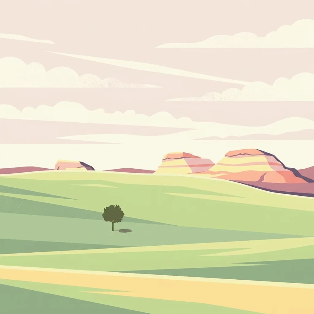
Grasslands National Park, in Saskatchewan, Canada. Landscapes: valleys, hills, and cliffs.
- Area
- 907 km²
- Established
- 1981
- IUCN
- II
- Visitors
- 19.7K annual
Mapping regional park distribution and surrounding conservation landscapes in Saskatchewan
Identify protected areas and natural wildlife reserves situated within the geographic vicinity of Réserve nationale de faune de Longspur. This overview provides a mapped perspective of the surrounding Saskatchewan prairies, facilitating the comparison of regional boundaries and conservation sites throughout the southern Canadian landscape.
Related tags
A young Canadian prairie reserve created to protect native mixed grassland habitat for the chestnut-collared longspur and other native grassland birds.
Longspur National Wildlife Area is a small protected area in southern Saskatchewan, Canada, established in 2025 under the management of the Canadian Wildlife Service. It lies in the Rural Municipality of Val Marie No. 17, southeast of the village of Val Marie, in the mixed-grass prairie landscape of the Canadian prairies. The reserve covers around 193 hectares of cultivated prairie and indigenous mixed prairie, an ecosystem that has become increasingly rare and threatened across the Great Plains. It is managed primarily to conserve nesting habitat for grassland songbirds, with the chestnut-collared longspur, whose English name gave the site its title, serving as the most emblematic species. Although newly designated, the area continues a longer story of grassland conservation in Saskatchewan. Its establishment is the direct outcome of a science-based review of the former Prairie National Wildlife Area, from which several individual units have been re-designated as smaller, more targeted national wildlife areas.
See the ranked park cluster in its geographic setting
Distance-ranked protected landscapes and regional park geography for comparison

North
Discover its mapped boundaries and regional geographic context.
Grasslands National Park, in Saskatchewan, Canada. Landscapes: valleys, hills, and cliffs.
Northwest
A critical migratory bird habitat and prairie reservoir
Located in the southwestern plains of Saskatchewan, Val Marie Reservoir Migratory Bird Sanctuary forms a water-dominated mosaic of mudflats, marshes, and nesting islands. This protected area supports the central flyway by maintaining open water for waterfowl, serving as a primary sanctuary for colonial nesting birds within the larger mixedgrass prairie ecosystem.
Northwest
Mapping the natural features and protected boundaries of this significant wildlife reserve.
The Great Sandhills National Wildlife Area represents a vital contemporary conservation effort in southwestern Saskatchewan. It encompasses a compact but biologically dense mosaic of stabilized dune fields, native mixed-grass prairie, and alkaline wetland basins. This protected area stands as a representative example of Canada's evolving strategy to preserve the most ecologically significant parcels of the prairie landscape, offering deep insights into the region's specific terrain and habitat patterns.
Northeast
A vital wildlife reserve located in Regina, Saskatchewan
Explore the unique geography of Wascana Lake Migratory Bird Sanctuary, where a managed reservoir creates a rich wetland habitat for migratory waterfowl. This protected area stands as a significant ecological site within the Saskatchewan prairie landscape, offering a rare look at riparian terrain integration inside a major urban center.

Southwest
Montana wilderness spanning the Continental Divide
Spanning from the rolling eastern plains to the crest of the Northern Rockies, Helena-Lewis and Clark National Forest serves as a massive protected landscape in central Montana. This forest system protects eight unique mountain ranges and critical wilderness corridors, offering a comprehensive look at the ecological transition zones of the American Mountain West.

Southeast
Exploring North Dakota's expansive badlands and prairie terrain
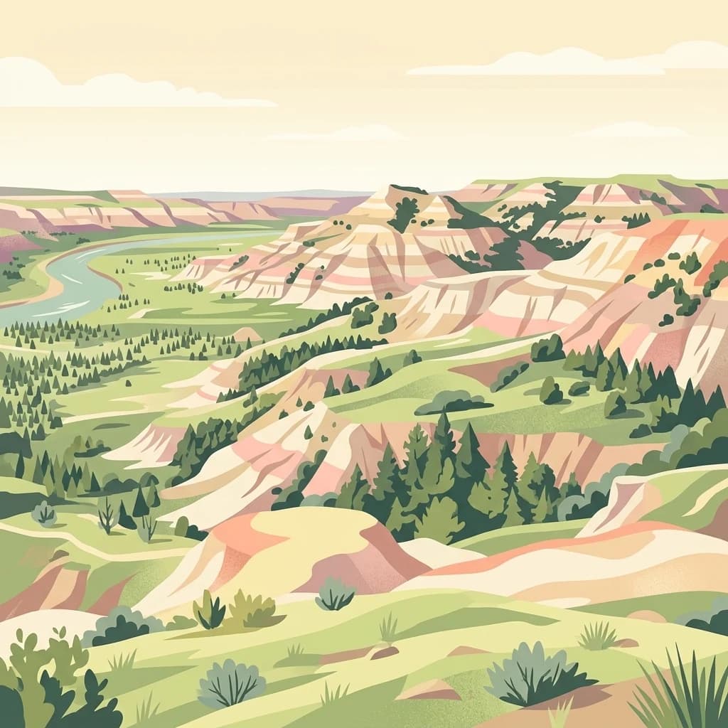
Spanning over a million acres, Little Missouri National Grassland stands as a massive protected landscape in western North Dakota. This area showcases the complex transition where open mixed-grass prairie meets the eroded, rugged badlands of the Little Missouri River corridor. Home to White Butte, the state's highest point, the grassland offers a unique topographic profile of buttes, canyons, and canyons that defines the region's broader geographic and conservation character.
North
Mapped wildlife reserve within the Canadian prairie region.
This protected area in Saskatchewan showcases a distinct mosaic of stabilized dunes and native mixed-grass prairie. Understand its geographic significance as a sanctuary for migratory birds and rare prairie species within the expansive plains of Canada. The reserve offers a focused look at small-scale conservation landscapes through its defined physical boundaries and varied topographic features.
Northeast
Examining mapped boundaries and protected wetland terrain
Zugvogelschutzgebiet Indian Head represents a significant conservation footprint within the Saskatchewan prairie region. This wildlife reserve integrates managed wetlands and historic nursery grounds, showcasing how agricultural landscapes support migratory bird populations. Gain insight into its terrain, ecoregion placement, and the geographic history of these protected lands through our structured atlas data.
East
A preserved prairie wetland complex in southeastern Saskatchewan.
Moose Mountain Creek National Wildlife Area is a federal reserve in Saskatchewan that protects a rare assembly of four distinct habitat types. The land features a functional mix of freshwater marshes, native mixed-grass prairie, and trembling aspen groves. This structured protected area highlights the importance of preserving remnant prairie ecosystems within a broader agricultural region, providing a critical baseline for understanding local geography.

Southeast
Explore the geography and protected natural boundaries.
Theodore Roosevelt National Park represents a distinct protected landscape within North Dakota, offering a valuable entry point for exploring its unique geographic setting. This page provides a concentrated view of the park's mapped boundaries and its contribution to regional natural context. It is designed for users seeking detailed atlas-level information and a clear understanding of the park's protected-area status and geographic significance within the United States.

North
Historic migratory bird habitat in the Saskatchewan prairie landscape
The Zugvogelschutzgebiet Sutherland protected area serves as an important migratory refuge on the Canadian Prairies. While the site integrates diverse land uses including a zoo and research facilities, its remaining native grasslands continue to provide essential feeding and resting grounds for geese, swans, and ducks. This analysis maps the sanctuary within its broader regional context.
North
A research-focused wildlife reserve in central Saskatchewan.
St. Denis National Wildlife Area represents a critical nexus for prairie ecology, defined by its dense network of shallow ponds and native grassland communities. As a dual-designated National Wildlife and Research Area, this site offers a clear window into the delicate balance of wetland habitats, saline soil conditions, and agricultural landscape integration across Saskatchewan.
East
Protected northern mixed grass prairie in North Dakota
Lostwood Wilderness protects a unique mosaic of native grasslands and shallow wetlands in northwestern North Dakota. As an essential part of the National Wilderness Preservation System, it preserves a roadless, undeveloped window into the prairie pothole region, offering a clear view of the natural terrain and conservation character of the northern Great Plains.

Southwest
Explore Missouri River canyon boundaries and local terrain
Gain insight into the geological drama of Gates of the Mountains Wilderness, a protected reserve in Montana. This atlas entry focuses on the limestone canyon walls and historic river corridors that define the regional geography, offering a structured look at its protected boundaries and terrain.

South
A reservoir-anchored protected area in the Montana high desert
Defined by its striking contrast between deep blue reservoir water and sheer canyon walls, Bighorn Canyon National Recreation Area protects an essential arid landscape in the Mountain West. This region encompasses portions of the Pryor Mountains and the historic Bad Pass Trail, offering a window into the intersection of vast high-desert plains and rugged mountain terrain.
Northeast
Essential conservation geography within Saskatchewan
Located in the saline prairie basins of central Saskatchewan, Raven Island National Wildlife Area is a 112-hectare protected habitat. This site plays a strategic role in the Lenore Lake migratory bird complex, preserving crucial island breeding grounds within a gentle prairie landscape. Explore the physical boundaries and ecological context of this Canadian wildlife reserve.

West
Explore its mapped boundaries and regional natural terrain.
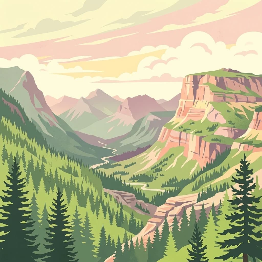
Glacier National Park, in Montana, United States of America. Landscapes: mountains, valleys, and lakes.
Northeast
Examining the protected landscapes and territorial extent in Estonia.
This resource provides a comprehensive view of the Zugvogelschutzgebiet Upper Rousay Lake protected area in Estonia. Focus on the defined boundaries, mapped terrain, and regional geographic context that identify this site. We provide a structured overview for researchers and geography enthusiasts to understand the spatial distribution and protected land status of this specific wetland environment.
West
Ecological transition zone of the northern Rocky Mountains
This protected area covers two million acres of diverse northern Rocky Mountain geography. Known for its massive western red cedars and transitional ecology, the forest features a complex network of ridgelines, glacial lake basins, and river corridors that serve as vital habitat across the Montana landscape.
North
A study of transitional Saskatchewan prairie and aspen ecosystems
Located northeast of Blaine Lake, this Canadian wildlife reserve encompasses a precise 299-hectare footprint. The site serves as a vital example of regional conservation, maintaining wetlands and native grasslands that define the transition between open prairie and northern boreal forest landscapes.
Geographic measurements, not driving distances
Calculated between the nearest points of both park boundaries.
Estimated from one mapped park location to the nearest boundary of the other park.
Estimated between the mapped locations of both parks.
Examine the geographic footprint of this Saskatchewan wildlife reserve to understand its role in prairie conservation. MoriAtlas provides the mapped context and landscape data required to trace the boundaries of this essential habitat for grassland species.