A structured collection of recorded seismic events associated by epicentral proximity to the landscape.
Historical Earthquake Catalogue for Mount Carmel National Park and Surrounding Regions
Explore a factual archive documenting recorded seismic activity located near Mount Carmel National Park. This catalogue provides access to event dates, magnitude readings, and depth information derived from established USGS datasets to illustrate the historical seismic context of the Carmel mountain range. The data offers insights into regional geologic events documented over time, providing researchers and curious observers with a clear, map-based perspective on historical epicentres found within the vicinity.
Israel's largest national park preserving Mediterranean woodland and ancient heritage on a storied mountain range
Mount Carmel National Park
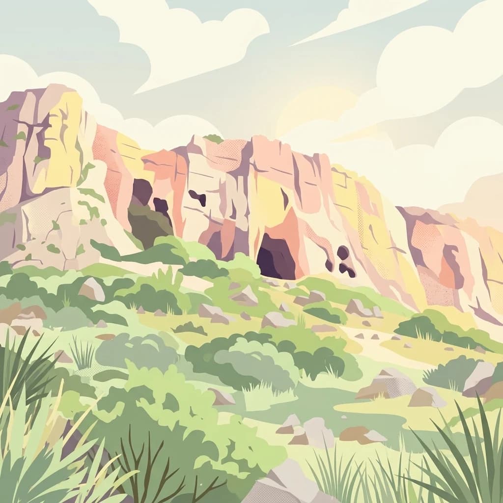
Mount Carmel National Park is Israel largest national park, encompassing most of the Carmel mountain range along the country northern Mediterranean coast. The park covers over 10,000 hectares of rolling woodland, containing pine, eucalyptus, and cypress forests that blanket the hillsides in a characteristic green mantle. This protected area represents one of the largest open spaces in northern Israel and serves as a vital green lung for the densely populated Haifa metropolitan region. The mountain itself holds profound historical and cultural significance, known in Arabic as both Jabal al-Karmel and Jabal Mar Elias, referring to the Prophet Elijah, and containing over 250 archaeological sites that document prehistoric human habitation stretching back tens of thousands of years. In 1996, the park received international recognition when UNESCO designated it a biosphere reserve, acknowledging its ecological significance within the Mediterranean basin.
Explore Mount Carmel National Park records by depth and distance
Study recorded earthquakes around Mount Carmel National Park
Mount Carmel National Park protects 100 km² of Mediterranean Israeli mountains, majority forest, caves, rivers, hills, valleys, and coast. Review linked earthquakes through their chronology, magnitude, depth, epicentre description, citation, and distance rather than inferring park effects, active danger, or recurrence.
Sort by
Magnitude
Location
This page describes catalogued earthquakes associated with the park by epicentre location and distance. It does not establish causation, assess current danger, or predict future earthquakes.
No earthquake records match the current filters
Park atlas
Go beyond Mount Carmel National Park earthquake records
Explore other protected parks beyond Mount Carmel National Park
Mount Carmel National Park’s earthquake record leads into additional atlas routes beyond its Israeli Mediterranean mountain, woodland, caves, rivers, hills, valleys, coast, archaeology, and biosphere-reserve context. Those destinations are not presented as similar mountain parks, geographic neighbors, or seismic analogues, and do not inherit its designation, geology, record depth, hazards, or risk.
National parkIsrael
About 2.6 km away#1 closest
Southeast
Beit She'arim National Park
Discover the protected geography of ancient burial sites in Israel.
Beit She'arim National Park, in Israel. Landscapes: caves.
Tel Megiddo National Park: Israel's Protected National Park Landscape
Explore the mapped geography and protected area context.
Delve into the specific geographic features and protected landscape identity of Tel Megiddo National Park, a key national park within Israel. This atlas entry focuses on the park's mapped boundaries and its contribution to the regional conservation context, offering a clear view of its terrain and natural setting for dedicated geographic discovery.
Zippori National Park: Explore Israel's Protected Landscape and Roman Period History
Mapped geography and protected terrain in the heart of the Levant.
Zippori National Park presents a fascinating protected landscape within Israel, offering insights into its historic terrain and geographic context. As a designated national park, its mapped boundaries delineate an area significant for its archaeological sites, particularly those from the Roman period. This entry provides structured information on the park's protected status and its place within the broader atlas of the Levant, emphasizing discovery through its landscape and historical geography.
HaSharon Park National Park: Geographic Atlas and Protected Landscape Exploration in Israel
Discover the mapped terrain and regional context of HaSharon Park.
HaSharon Park is a national park providing a distinct protected landscape within Israel's borders. This entry supports a deeper understanding of its geographic setting and mapped natural terrain, contributing to the broader atlas of protected areas in the region. Users can explore the park's boundaries and its place within the national geography, gaining insights into the protected lands that characterize this part of the Levant.
Yehi'am Fortress National Park: National Park with Protected Landscape Identity in Israel
Discover its mapped geographic boundaries and regional landscape context.
Yehi'am Fortress National Park is a key protected area situated within the geographic landscape of Israel. This national park entry provides structured insights into its distinct natural features and its role as a mapped protected zone. Explore the regional context and unique geographic identity of Yehi'am Fortress National Park, contributing to a broader understanding of Israel's conservation landscapes.
Alexander River National Park: Israel's Protected Coastal Wetland and Sea Turtle Conservation Hub
Mapped riparian geography and vital protected landscape in Israel.
Alexander River National Park is a significant protected coastal wetland in Israel, focusing on the preservation of the lower Alexander River's unique riparian ecosystem. Renowned for its thriving populations of African softshell turtles and its role as the National Sea Turtle Rescue Center for endangered green sea turtles, the park offers a compelling case study in environmental rehabilitation. Users can explore the park's mapped boundaries, understand its geography as a transition zone between freshwater and marine environments, and appreciate its importance within the broader landscape of Mediterranean protected areas.
Beit Alfa Synagogue National Park: A Protected Landscape in Israel's Geography
Explore the mapped natural terrain and park boundaries.
This page details Beit Alfa Synagogue National Park, a designated national park in Israel, offering an atlas-centric view of its protected landscape. Understand its geographic setting and the mapped context of its protected area within the region. MoriAtlas provides structured data to explore the natural terrain and park boundaries of Beit Alfa Synagogue National Park, enriching your understanding of Israel's conservation lands.
Gan HaShlosha National Park: Protected Landscape and Archaeological Atlas in Israel
Explore natural springs, waterfalls, and ancient ruins within this national park.
Gan HaShlosha National Park presents a remarkable protected landscape in Israel, distinguished by its warm, natural spring-fed pools and picturesque waterfalls. This national park serves as a vital oasis within the Jordan Valley, boasting lush vegetation and a unique microclimate. Visitors can explore the park's archaeological heritage, featuring ruins that speak to its long history of human habitation. Understanding Gan HaShlosha National Park through its mapped geography and protected-area context provides valuable insight into Israel's natural and historical landscapes.
Continue Exploring Mount Carmel National Park's Mapped Geography and Protected Landscape
Delve deeper into the specific landscape character and mapped terrain of Mount Carmel National Park. Understanding its precise protected boundaries and regional context is key for comprehensive geographic discovery. Continue your exploration to appreciate how this national park fits into the broader atlas of protected areas in Israel and the Middle East, enriching your grasp of its conservation landscape.