
Viewpoints
Park geography
Detailed analysis of regional context, landscape features, and physical terrain span
Comprehensive Geographic Profile and Mapped Boundaries of Nambul National Park
This profile examines the physical geography of Nambul National Park, covering its total surface area of 192.68 square kilometers and its distinctive coastal and karst terrain. Analyze internal landmarks including Kangaroo Point and North Hummock alongside environmental classifications ranging from dunes to marine zones.

Western Australia's otherworldly limestone desert where thousands of ancient stone spires rise from golden sands
Nambul National Park
Nambul National Park is a striking protected area in the Wheatbelt region of Western Australia, located approximately 200 kilometres northwest of Perth and just 17 kilometres south of the coastal town of Cervantes. The park is internationally renowned for the Pinnacles Desert, an extraordinary landscape containing thousands of limestone formations that rise from wind-blown sand dunes in uncanny, almost alien patterns. These natural limestone pillars, some reaching heights of 3.5 metres, were formed over millions of years from the calcified remains of marine organisms and subsequent erosion processes. The park derives its name from an indigenous Australian word believed to mean crooked or winding, referencing the Nambut River that flows underground through cave systems within the limestone. Beyond the pinnacles, the park encompasses coastal dunes, pristine beaches at Kangaroo Point and Hangover Bay, and the ecologically significant Lake Thetis where visitors can observe living thrombolite structures.
- Location
- Australia
- Park type
- National park
- Established
- 1994
- Area
- 192.7 km²
Location overview
Mapped Coastal and Marine Protected Geography in Western Australia
Geographic Position of Nambul National Park, Western Australia
Nambul National Park is located within Western Australia, anchoring its place in Australia's protected system. Official records classify the park as a coastal and marine conservation zone with no transboundary borders.
- Countries
- Australia
- Regions
- Western Australia
- Primary location
- Western Australia
- Geographic setting
- Coastal · Marine
Boundary and coordinates
Interactive protected-area geometry and calculated area metrics
Nambul National Park Boundary Map and Geographic Extent
Mapped park outlines establish spatial context for conservation geography across the protected landscape. Derived spatial measurements detail the total land footprint and perimeter spans without legal survey precision.
- Boundary area
- 193.9 km²
- Boundary perimeter
- 136.1 km
- Northernmost point
- 30.4933° S
- Southernmost point
- 30.6865° S
- Easternmost point
- 115.2283° E
- Westernmost point
- 115.0748° E
- Geographic centre
- 30.5862° S, 115.1541° E
- North–south span
- 21.4 km
- East–west span
- 14.7 km
Terrain and natural features
Upland terrain classifications and recorded landscape features
Nambul National Park Terrain and Named Natural Features
Nambul National Park features stored upland terrain classifications alongside recorded named natural features located within the boundary. Linked feature cards supply names, types, measurements, and spatial relationships where documented.
Selected named natural features
Viewpoints
Desert View Lookout
Peaks
North Hummock
120 m
Capes
Kangaroo Point
Lakes
Lake Thetis
Environmental setting
Upland terrain, major water presence, and coastal habitat types
Nambul National Park Environmental Classification and Physical Setting
Recorded landscape features and habitat types frame the physical setting through complementary environmental categories. Mapped classifications connect directly to relevant atlas destinations across the protected area.
- Relief
- Upland
- Water
- Major water bodies
- Forest cover
- No forest cover
Landscape features
Karst · Beach · Dunes · Cave · Rivers · Lakes · Coast · Woodland
Habitat types
Karst habitat · Coastal habitat · Dune habitat · Shrubland · Riverine habitat · Lacustrine habitat · Marine habitat
Park atlas
Trace the regional spread of protected areas in Western Australia, offering context beyond the Pinnacles Desert.
Compare National Parks and Protected Areas Beyond Nambul National Park's Unique Landscapes
Explore a curated selection of other national parks and protected areas located in the region surrounding Nambul National Park. This geographic overview helps you compare diverse landscapes and conservation efforts across Western Australia, providing valuable context for your park discovery.

National parkWestern Australia
17 km away#1 closest
Northeast

Badgingarra National Park: Mapped Boundaries and Protected Landscape Exploration
Explore its national park designation and regional geography.
Delve into the protected landscape identity of Badgingarra National Park, a designated national park situated in Western Australia. This entry provides detailed atlas-level information, focusing on the park's geographic scope, mapped boundaries, and its significance as a protected natural area. Understand its terrain and regional context for a deeper appreciation of Western Australia's conservation landscapes.
- Area
- 131.08 km²
- Established
- 1973
- IUCN
- II
- Relief
- Mixed relief

National parkWestern Australia
24 km away#2 closest
North
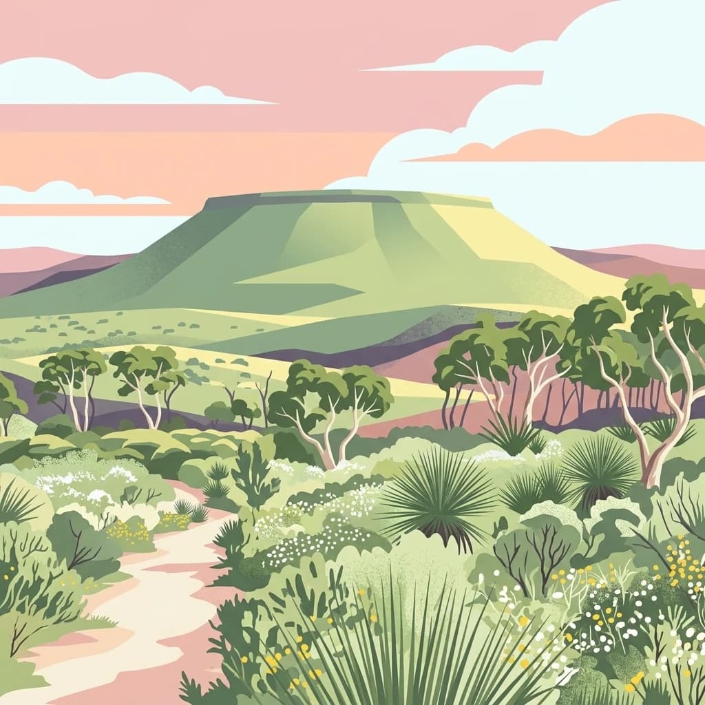
Drovers Cave National Park: Protected National Park Landscape in Western Australia
Discover the mapped geography and natural context of this park.
Drovers Cave National Park stands as a key protected area within the expansive Western Australian region. This national park offers a focused lens through which to explore its specific geographic identity and landscape characteristics. As a designated national park, it is mapped within the larger atlas of Australia's protected lands, providing users with structured insights into its regional setting and natural terrain.
- Area
- 26.81 km²
- Established
- 1972
- IUCN
- II
- Relief
- Lowland
National parkWestern Australia
33 km away#3 closest
North
Lesueur National Park: Detailed National Park Atlas and Geographic Context
Explore the mapped protected landscape in Western Australia.
Lesueur National Park is a key protected area within the expansive geography of Western Australia. This resource provides detailed information on its national park status, mapped boundaries, and its significance within the regional atlas. Engage with the specific landscape identity of this protected territory and understand its role in the broader geographic context of Australia.
- Area
- 272.35 km²
- Established
- 1992
- IUCN
- II
- Relief
- Upland
National parkWestern Australia
52 km away#4 closest
Northeast
Alexander Morrison National Park: Discover Its Protected Landscape and Regional Geography
Mapped protected area boundaries and landscape context in Western Australia.
Alexander Morrison National Park represents a core protected natural landscape within Western Australia. As a national park, its identity is deeply tied to its mapped geographic extent and its role in the regional atlas. This destination provides a focused lens on a specific protected area, enabling users to understand its unique landscape features and its contribution to the conservation estate of Western Australia. Delve into its protected status and geographic orientation within Australia's largest state.
- Area
- 85 km²
- Established
- 1970
- IUCN
- II
- Relief
- Upland

National parkWestern Australia
54 km away#5 closest
Southeast
Moore River National Park: National Park Protected Landscape and Geographic Context
Mapped boundaries and natural terrain in Western Australia.
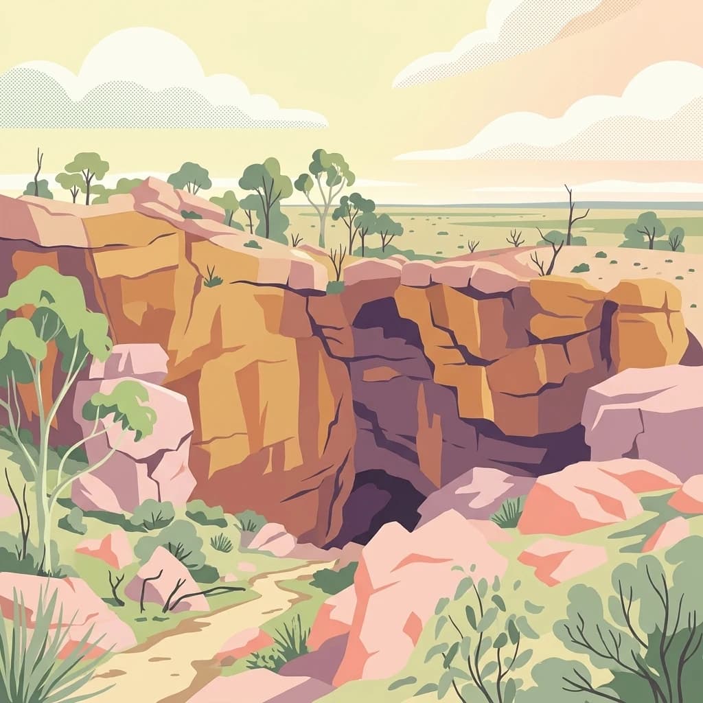
Investigate Moore River National Park, a distinct national park located in Western Australia. This detailed view provides insight into the park's protected landscape character, its unique geography, and its role within the regional context. Understand the mapped boundaries and natural terrain that define this significant protected area for atlas and geographic exploration.
- Area
- 172.54 km²
- Established
- 1969
- IUCN
- II
- Relief
- Lowland
National parkWestern Australia
56 km away#6 closest
Northeast
Watheroo National Park National Park: Mapping Protected Landscapes in Western Australia
Explore regional geography and mapped park boundaries.
Watheroo National Park represents a key protected landscape within the vast state of Western Australia. This detail page offers focused insight into the park's specific geographic character, its mapped boundaries, and its role within the regional atlas of protected areas. Understand the natural terrain and landscape context that defines this Australian national park.
- Area
- 444.81 km²
- Established
- 1969
- IUCN
- II
- Relief
- Upland
National parkWestern Australia
79 km away#7 closest
North
Tathra National Park: Protected Landscape Identity and Mapped Geographic Boundaries
Western Australia national park exploration and regional context.
Delve into the protected landscape of Tathra National Park, a significant entity within Western Australia's network of natural areas. This detail provides a structured overview of its geographic position, mapped outlines, and ecological context, serving as a vital entry point for understanding Australia's diverse protected lands and regional geography.
- Area
- 43.22 km²
- Established
- 1970
- IUCN
- II
- Relief
- Upland

National parkWestern Australia
101 km away#8 closest
Southeast
Yanchep National Park: Explore Its Unique Limestone Caves and Protected Bushland Geography
Discover the subterranean formations and coastal plain landscapes.
Yanchep National Park offers a singular opportunity for atlas-driven exploration of Western Australia's natural and cultural heritage. Situated on the Swan Coastal Plain, this national park is celebrated for its extensive network of limestone caves, including the notable Crystal Cave, providing a rare glimpse into subterranean geological processes. Beyond its underground wonders, the park encompasses diverse native bushland, supporting iconic koala colonies and offering insights into the region's ecological distinctiveness. Its deep Nyoongar heritage further enriches the understanding of this mapped protected landscape.
- Area
- 28.76 km²
- Established
- 1957
- IUCN
- II
- Relief
- Lowland
MoriAtlas Explorer
Continue Your Geographic Exploration of Nambul National Park's Protected Landscapes
Deepen your understanding of Nambul National Park by examining its specific geographic context and protected landscape attributes. This park entry supports structured atlas exploration, enabling a clearer view of its regional placement and mapped terrain. Continue to trace the park's boundaries and uncover its role within Western Australia's diverse natural environments.
Browse next
Global natural geography
Explore related park routes
Explore MoriAtlas Global ParksBrowse All MoriAtlas ParksGlobal Park Map DiscoveryMoriAtlas: Browse All CountriesBrowse All MoriAtlas ContinentsNational Park Environment AtlasGrand Canyon National Park AtlasYellowstone National Park AtlasYosemite National Park Atlas and GeographySerengeti National Park AtlasGalápagos National Park Protected LandscapeBanff National Park Geography and AtlasKruger National Park Atlas EntryExplore Uluru-Kata Tjuta National Park GeographyPlitvice Lakes National Park AtlasFiordland National Park Protected LandscapeGreat Smoky Mountains National Park AtlasZion National Park Protected Landscape AtlasAfghanistan National Parks and Protected AreasAlbania National Parks and Protected AreasAlgeria National Parks and Protected AreasAmerican Samoa National Parks and Protected AreasAndorra National Parks and Protected AreasAngola National Parks and Protected AreasAntarctica National Parks and Protected AreasAntigua and Barbuda Park List