Mori Atlas logo
Park earthquake history

Explore a comprehensive historical catalogue of seismic events identified by distance from park boundaries.

Recorded Seismic Activity and Earthquake History Near Nanda Devi National Park in Uttarakhand

This collection provides a structured record of historical earthquakes associated with the high altitude terrain of Nanda Devi National Park. Each entry details the recorded magnitude, focal depth, and relative epicentre proximity within the Garhwal Himalayas of Uttarakhand. By tracing these seismic data points, you can observe the documented historical frequency of events across this protected mountain landscape without inferring future movement or hazard potential.

A digital illustration of a prominent snow covered mountain peak rising above lush green valleys, pine forests, and rocky terrain at sunset.

Sacred Himalayan sanctuary encircling India's second-highest mountain

Nanda Devi National Park

Nanda Devi National Park is a high-altitude protected area in the Garhwal Himalayas of Uttarakhand, northern India, established in 1982. The park encompasses the dramatic Nanda Devi Sanctuary, a vast glacial basin ringed by towering peaks rising between 6,000 and 7,500 meters, centered around Nanda Devi, India's second-highest mountain at 7,816 meters. The entire park lies above 3,500 meters elevation, making it one of the world's highest protected ecosystems. In 1988, the park was inscribed as a UNESCO World Heritage Site, recognized for its outstanding natural beauty and ecological significance. The park is now part of the larger Nanda Devi and Valley of Flowers National Parks World Heritage site, embedded within the Nanda Devi Biosphere Reserve. The landscape is characterized by rugged mountain terrain, extensive glaciers including the Uttari Rishi and Dakshini Rishi glaciers, and the dramatic Rishi Ganga Gorge that drains the sanctuary.

Location
India
Park type
National park
Established
1982
Area
630.3 km²
Highest point
7,816 m
Nanda Devi National Park Protected Landscape

Examine Nanda Devi National Park events and distances

Explore earthquake records around Nanda Devi National Park

Set Nanda Devi National Park’s 630.33 km² high-mountain setting in Chamoli district and Uttarakhand beside reported earthquake locations; Filter the catalogue by date, magnitude, depth or locality, inspect each source record, and compare its calculated distance from the park. The association is geographic: it does not place an epicentre inside the boundary or turn the results into a hazard forecast.

Sort by
Magnitude
Location

This page describes catalogued earthquakes associated with the park by epicentre location and distance. It does not establish causation, assess current danger, or predict future earthquakes.

No earthquake records match the current filters

Park atlas

Browse beyond this mountain, glacier, valley and river landscape

Continue from Nanda Devi’s earthquake catalogue to another park profile

After Nanda Devi National Park’s earthquake records, the atlas offers a distinct protected destination; the source park spans 630.33 km² of mountains, glaciers, valleys and major rivers; these characteristics remain attached to Nanda Devi alone. The onward page is not evidence of shared national-park status, elevation, proximity, geology, seismic behaviour, current hazard or risk.
An illustration of a green mountain valley with a stream flowing over rocks in the foreground and tall, jagged, snow-dusted mountains rising in the distance under a warm-toned sky.
National parkChamoli district
About 27 km away#1 closest

Northwest

Valley of Flowers National Park: National Park Protected Landscape and Geographic Context

Explore the mapped terrain and regional boundaries of this Himalayan national park.

Valley of Flowers National Park is a distinct protected area within India's Garhwal region, situated in the Chamoli district. This park detail page facilitates atlas-focused discovery, highlighting its mapped boundaries and geographic significance. Users can explore the protected landscape's role within its regional context, providing essential data for understanding its ecological and geographical importance for landscape exploration.

Area
87.5 km²
Established
1982
Relief
Mountain
Climate
Alpine
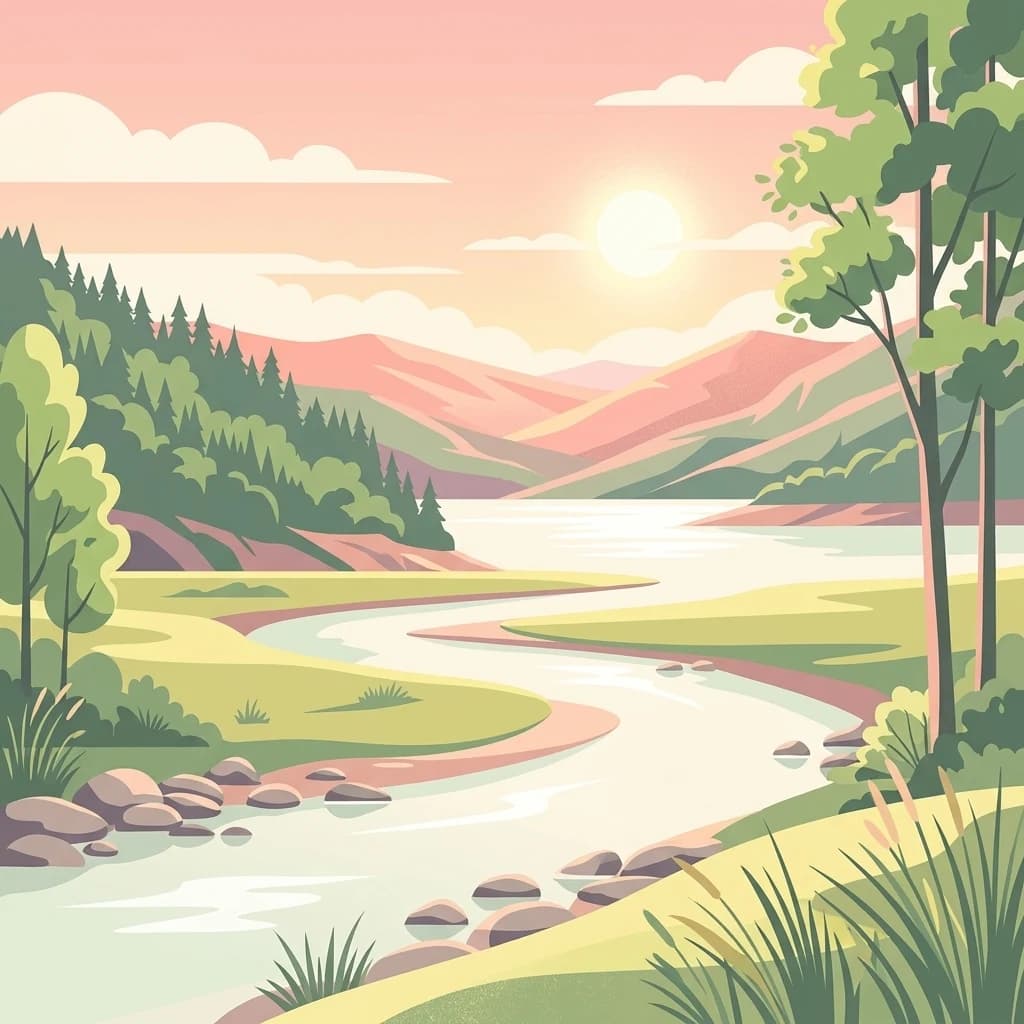
A stylized illustration showing a winding river flowing through a lush green valley with forested hills and distant mountains under a soft pink sunrise.
National parkUttarakhand
107 km away#2 closest

Southwest

Jim Corbett National Park

Mapped Boundaries and Regional Geographic Context

Jim Corbett National Park, in Uttarakhand, India. Landscapes: hills, rivers, and wetlands.

Area
1,288.31 km²
Established
1936
IUCN
II
Visitors
365K annual
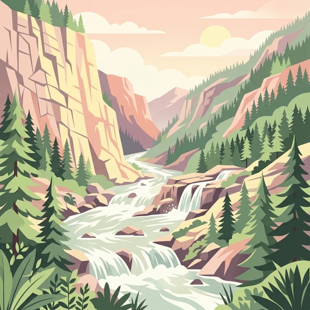
A flat-style digital illustration of a river flowing through a deep mountain canyon flanked by pine forests and cliffs, with small waterfalls cascading over rocks.
National parkUttarakhand
About 125 km away#3 closest

North

Gangotri National Park: Uttarakhand National Park and Protected Landscape Discovery

Explore its mapped geography and regional protected area context.

Gangotri National Park serves as a crucial point of reference for understanding protected areas within Uttarakhand, India. As a national park, its defined geographic boundaries and the surrounding natural landscape provide valuable data for regional geography and atlas exploration. This entry offers a detailed look at the park's protected status and its role within the mapped terrain of the Himalayan region.

Area
2,390 km²
Established
1989
IUCN
II
Relief
Mountain
National parkUttarkashi District
About 150 km away#4 closest

Northwest

Govind Pashu Vihar National Park: Exploring India's Uttarkashi District Protected Landscape

Mapped protected area boundaries and regional geographic context.

Investigate Govind Pashu Vihar National Park, a key protected area in Uttarkashi District, India. This resource provides essential information on its designation as a national park, focusing on its geographic spread, mapped landscape features, and its placement within the regional atlas for comprehensive discovery. Understand the distinctiveness of this protected land's terrain and its role in conservation geography.

Area
958 km²
Established
1955
IUCN
II
Relief
Mountain
A colorful digital illustration of a winding river flowing through a lush valley towards mountains at sunset.
National parkUttarakhand
About 150 km away#5 closest

West

Rajaji National Park: Uttarakhand National Park and Tiger Reserve Landscape

Sivalik Hills geography and protected area context

Rajaji National Park is a vital protected landscape situated in the Uttarakhand region of India, recognized as both a national park and a tiger reserve. Its territory spans across the Sivalik Hills, offering a diverse terrain characterized by deciduous forests and riparian ecosystems. The park's location along the Ganga river significantly influences its ecology, providing a unique geographic context for its protected status and wildlife significance.

Area
820.5 km²
Established
1983
IUCN
II
Relief
Highland
National parkNepal
About 151 km away#6 closest

Southeast

Khaptad National Park: Nepal's National Park Landscape and Protected Area Geography

Explore the mapped terrain and regional context of this protected landscape.

Khaptad National Park is a designated national park in Nepal, offering a unique entry point for exploring protected landscapes and regional geography. This entry details the park's mapped boundaries and its significance within the broader atlas of natural terrain. Users can delve into the specific geographic context of this protected area, understanding its role within Nepal and the wider South Asian context for structured landscape discovery.

Area
225 km²
Established
1984
IUCN
II
Relief
Mountain
Watercolor scene of grassy fields and a winding river with distant hills and trees
National parkSudurpashchim Province
About 162 km away#7 closest

South

Shuklaphanta National Park: A National Park in Nepal's Sudurpashchim Province

Explore mapped protected areas and regional landscape context.

Shuklaphanta National Park is a key protected landscape within Sudurpashchim Province, Nepal. As a designated national park, its geographic identity is significant for understanding regional conservation and natural terrain. This entry focuses on its mapped boundaries and role as a protected area, providing foundational geographic context for atlas exploration and discovery of Nepal's natural landscapes.

Area
305 km²
Established
2017
IUCN
II
Relief
Lowland
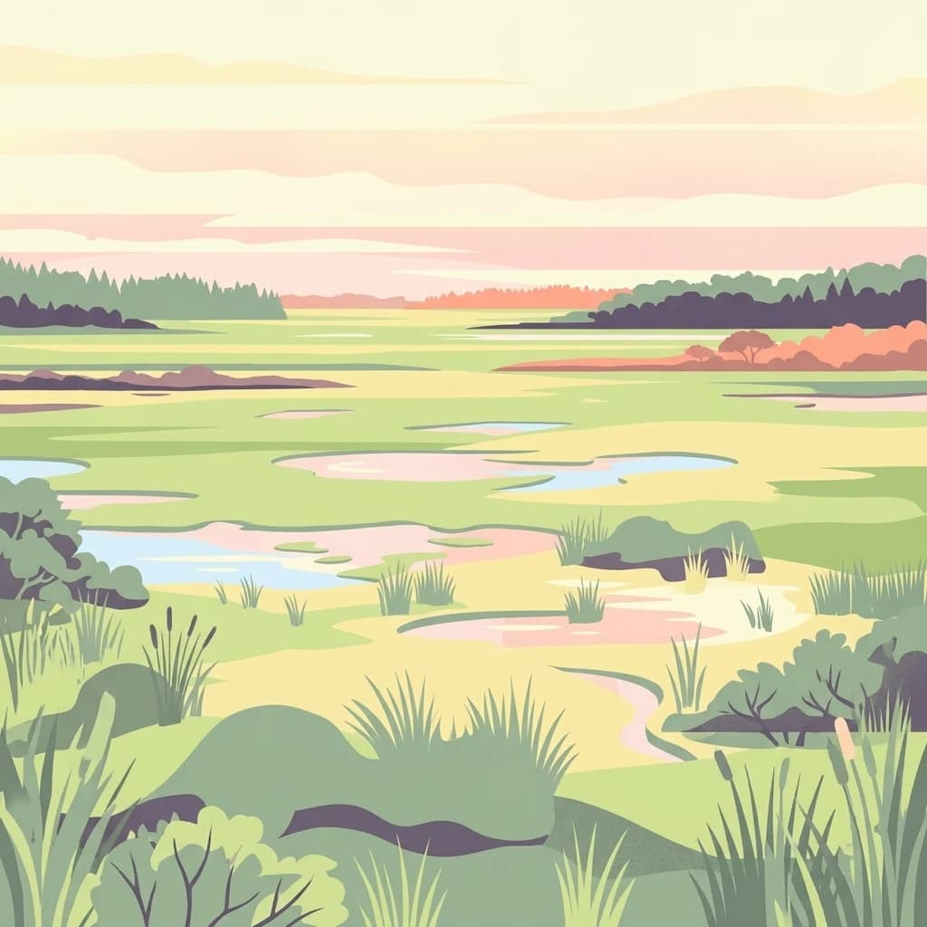
A flat-style digital illustration of a marshland landscape with soft green, yellow, and peach tones, featuring pools of water, patches of grass, and distant tree lines under a light sky.
National parkLakhimpur Kheri district
187 km away#8 closest

South

Dudhwa National Park

Discover the mapped protected landscape of this vital Indian national park.

Dudhwa National Park, in Lakhimpur Kheri district, India. Landscapes: grasslands, rivers, and wetlands.

Area
614 km²
Established
1977
IUCN
II
Visitors
26K annual
MoriAtlas Explorer

Nanda Devi National Park

Explore the map, landscapes, and protection details for Nanda Devi National Park.