
Lakes
Park geography
Detailed spatial analysis of boundaries, regional elevation ranges, and mountain landscapes.
Nevado Tres Cruces National Park: A Comprehensive Geographic and Terrain Profile in Chile
Examine the physical geography of Nevado Tres Cruces National Park, a protected area within the Atacama Region of Chile. This profile details the mountain relief, alpine climate, and significant hydrologic features including wetlands, lakes, and high altitude streams across the 591 square kilometer boundary.
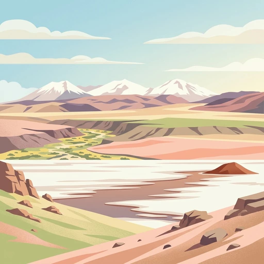
High-altitude wetland sanctuary in the Chilean Atacama
Nevado Tres Cruces National Park
Nevado Tres Cruces National Park is a protected area in the Atacama Region of northern Chile, situated east of the city of Copiapó in the southern Andes. The park encompasses a complex of high-altitude wetlands including Laguna Santa Rosa and Laguna del Negro Francisco, along with a portion of the Salar de Maricunga salt flat. At over 3,700 meters elevation in the salt flat area and reaching 4,126 meters at the Negro Francisco lagoon, the park protects some of the world's highest wetland ecosystems. The landscape is dominated by Nevado Tres Cruces, a mountain that gives the park its name and forms a dramatic backdrop to the protected lakes and marshes. The park was designated as a Ramsar Wetland of International Importance, recognizing its global significance as a habitat for migratory waterfowl and its role in preserving fragile high-altitude desert ecosystems.
- Location
- Chile
- Park type
- National park
- Area
- 591 km²
Location overview
Regional placement and geographic records within the Atacama of Chile
Nevado Tres Cruces National Park Geographic Location and Regional Setting
Nevado Tres Cruces National Park is located within Chile, situated inside the administrative boundaries of the Atacama Region. Access verified national and regional relationship data for structured geographic discovery.
- Countries
- Chile
- Regions
- Atacama Region
- Primary location
- Atacama Region
Boundary and coordinates
Interactive protected-area geometry covering 591 square kilometers
Nevado Tres Cruces National Park Boundary Map and Spatial Extent
Mapped park boundaries supply precise spatial context for analyzing protected terrain and regional geographic span. Accompanying dimensional metrics outline total area coverage, coordinate limits, and central spatial coordinates.
- Boundary area
- 599 km²
- Boundary perimeter
- 195.9 km
- Northernmost point
- 26.9398° S
- Southernmost point
- 27.5035° S
- Easternmost point
- 68.896° W
- Westernmost point
- 69.2816° W
- Geographic centre
- 27.1382° S, 69.0842° W
- North–south span
- 62.5 km
- East–west span
- 38.2 km
Elevation and terrain
Mountain terrain relief and recorded physical features within boundaries
Nevado Tres Cruces National Park Terrain and Elevation Profile
Recorded park elevation begins at thirty seven hundred meters across mountain terrain classifications. Linked natural feature cards detail peaks, lakes, and streams located within boundaries.
- Minimum elevation
- 3,700 m
Selected named natural features
Peaks
Cerro Los Portezuelos
4,853 m
Streams
Quebrada El Desague
Lakes
Laguna Santa Rosa
Peaks
Cerro Santa Rosa
4,910 m
Streams
Quebrada Las Lajitas
Environmental setting
Alpine climate zones, desert relief, and major water presence
Nevado Tres Cruces National Park Environmental Classifications And Geography
Recorded landscape features and habitat types frame the physical setting of Nevado Tres Cruces National Park through broad environmental categories. Connected atlas categories link each stored classification to related protected areas and regional geographies.
- Relief
- Mountain
- Climate
- Alpine
- Water
- Major water bodies
- Forest cover
- No forest cover
- Seasonality
- Strongly seasonal
Landscape features
Mountains · Wetland · Lakes · Volcano · Desert
Habitat types
Steppe · Wetland · Desert habitat · Alpine meadow
Park atlas
Trace the regional spread of protected areas, comparing similar high-altitude landscapes in Chile's Atacama Andes.
Discover Other National Parks Near Nevado Tres Cruces National Park in the Atacama Andes
Explore other national parks and protected areas geographically close to Nevado Tres Cruces National Park, focusing on high-altitude wetlands and volcanic landscapes within the Chilean Andes. Continue your atlas-style discovery by mapping interconnected conservation efforts and comparing similar protected ecosystems across this unique South American region.

National parkChile
159 km away#1 closest
Northwest

Pan de Azúcar National Park: Chile's Protected Natural Landscape and Atlas Context
Discover mapped boundaries and regional geography for this national park.
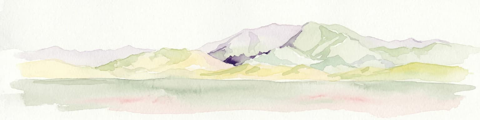
Pan de Azúcar National Park is a protected area situated within Chile's diverse geography. This page provides detailed information on its status as a national park, focusing on its mapped boundaries and its contribution to the regional landscape context. Users can explore its geographic significance and understand its place within the broader atlas of protected areas.
- Area
- 437.54 km²
- Established
- 1985
- IUCN
- II
- Relief
- Mixed relief
National parkArgentina
163 km away#2 closest
South

San Guillermo National Park: High Andes Protected Landscape & Vicuña Conservation Area
Explore its rugged terrain and arid mountain ecosystem.
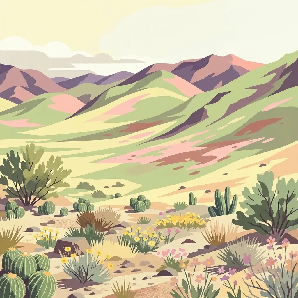
San Guillermo National Park, a key national park in Argentina's San Juan Province, protects over 166,000 hectares of high-altitude Andean wilderness. Its landscape is defined by arid mountain ranges and expansive puna grasslands, serving as a critical sanctuary for vicuñas and other high-Andean wildlife. This page offers detailed geographic context for understanding the park's protected boundaries, unique terrain, and its importance as a mapped conservation area.
- Area
- 1,660 km²
- Established
- 1998
- IUCN
- II
- Relief
- Mountain
National parkAtacama Region
178 km away#3 closest
Southwest
Llanos de Challe National Park: Unique Coastal Desert and Lomas Ecosystem
Atacama Region National Park with Dramatic Terrain and Wildlife
Llanos de Challe National Park presents a rare protected coastal desert environment within the Atacama Region. Its unique lomas ecosystem, sustained by coastal fog, supports a surprising diversity of life. The park encompasses striking geographic features, from unspoiled white-sand beaches to rugged mountainous terrain, offering a clear example of a vital protected landscape with significant guanaco populations and unique flora, all mapped within its regional context.
- IUCN
- II
- Relief
- Mixed relief
- Climate
- Arid
- Scope
- Mixed

National parkAntofagasta Region
194 km away#4 closest
North
Llullaillaco National Park: Mapped Volcanic Terrain and Protected Andean Landscape
Explore the high-altitude desert ecosystem and national park boundaries.
Llullaillaco National Park is a significant protected area in the Antofagasta Region, characterized by its striking volcanic landscape and high-altitude desert environment. The park's geography includes the towering Llullaillaco volcano, ancient ravines, and expansive semi-desert plains, forming a unique segment of the Central Andean dry puna ecoregion. Discover the mapped terrain and protected area context of this remarkable Chilean national park, offering insights into its arid-adapted biodiversity and geological significance.
- Area
- 2,687 km²
- IUCN
- II
- Relief
- Mountain
- Climate
- Arid

National parkLa Rioja Province
254 km away#5 closest
South
Talampaya National Park: Argentinian National Park with Dramatic Desert Canyons
Explore protected landscape and mapped geography in La Rioja Province.
Talampaya National Park, a significant national park in Argentina's La Rioja Province, offers a profound exploration of a dramatic desert canyon environment. This protected area is renowned for its rich paleontological sites, yielding crucial dinosaur fossils, and for its well-preserved indigenous petroglyphs carved into ancient rock formations. Understanding Talampaya National Park provides vital context for the region's geography and its place within Argentinian protected lands and mapped natural landscapes.
- Area
- 2,150 km²
- Established
- 1997
- IUCN
- II
- Relief
- Mountain
National parkTucumán Province
279 km away#6 closest
East
Aconquija National Park: Southern Andean Yungas Protected Landscape in Tucumán Province
Explore its montane forest and mapped geographic context.
Aconquija National Park is a significant federal protected area located in Tucumán Province, Argentina. This national park is dedicated to conserving the diverse Southern Andean Yungas montane forest ecosystem, characterized by a dramatic elevational gradient. Its landscapes transition from cloud forest to high alpine terrain, offering a unique opportunity to study and appreciate a well-preserved montane environment within a critical geographic region. Discover the mapped extent and ecological importance of this protected area.
- Area
- 700 km²
- Established
- 1995
- IUCN
- II
- Relief
- Mountain
State or regional parkSan Juan Province
About 305 km away#7 closest
South
Ischigualasto Provincial Park
Geological mapping of wind-eroded badlands in San Juan Province
Ischigualasto Provincial Park, in San Juan Province, Argentina. Landscapes: mountains, valleys, and cliffs.
- Area
- 603.7 km²
- Established
- 1971
- Relief
- Upland
- Climate
- Arid
National parkSalta Province
338 km away#8 closest
Northeast
Los Cardones National Park: National Park Protected Landscape in Salta Province
Explore the mapped geography and protected area boundaries.
Los Cardones National Park represents a distinct protected landscape within Salta Province, Argentina. This page provides an atlas-driven view of its status as a national park, focusing on its geographic setting and mapped boundaries. It is designed for users seeking structured information about the park's protected-area identity and its regional landscape context, offering a foundation for broader geographic exploration.
- Area
- 650 km²
- Established
- 1996
- IUCN
- II
- Relief
- Mixed relief
MoriAtlas Explorer
Continue Exploring Nevado Tres Cruces National Park's Mapped Terrain and Protected Boundaries
Deepen your understanding of Nevado Tres Cruces National Park by exploring its specific geographic features and its status as a protected national park. Uncover the mapped landscape context and the regional significance of this natural area, providing a structured foundation for further atlas-based discovery. Investigate the park's unique terrain and its role within the broader geography of the Atacama Region.
Browse next
Global natural geography
Explore related park routes
Explore MoriAtlas Global ParksBrowse All MoriAtlas ParksGlobal Park Map DiscoveryMoriAtlas: Browse All CountriesBrowse All MoriAtlas ContinentsNational Park Environment AtlasGrand Canyon National Park AtlasYellowstone National Park AtlasYosemite National Park Atlas and GeographySerengeti National Park AtlasGalápagos National Park Protected LandscapeBanff National Park Geography and AtlasKruger National Park Atlas EntryExplore Uluru-Kata Tjuta National Park GeographyPlitvice Lakes National Park AtlasFiordland National Park Protected LandscapeGreat Smoky Mountains National Park AtlasZion National Park Protected Landscape AtlasAfghanistan National Parks and Protected AreasAlbania National Parks and Protected AreasAlgeria National Parks and Protected AreasAmerican Samoa National Parks and Protected AreasAndorra National Parks and Protected AreasAngola National Parks and Protected AreasAntarctica National Parks and Protected AreasAntigua and Barbuda Park List