Por qué destaca Parque Nacional de Polesia
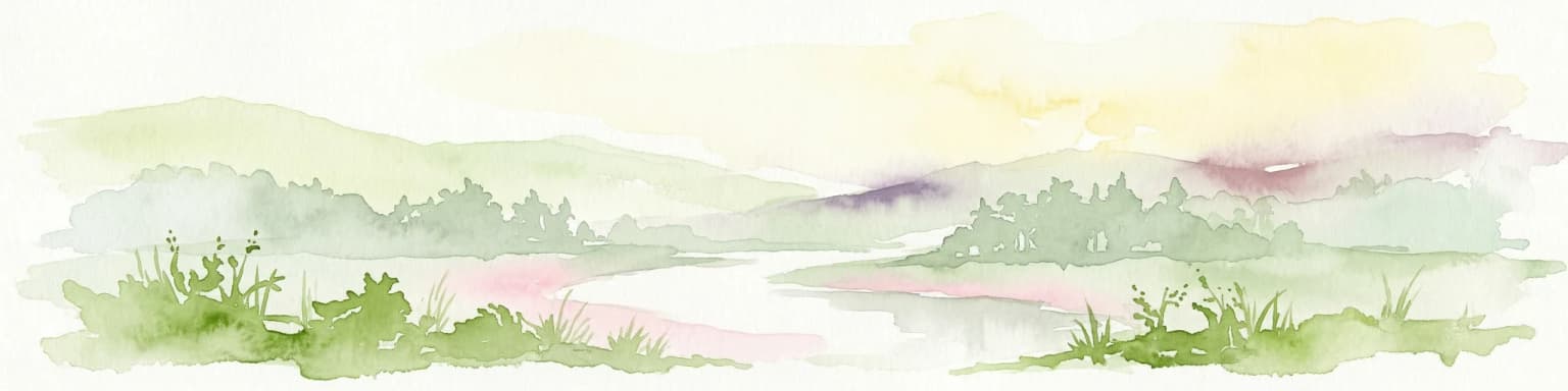
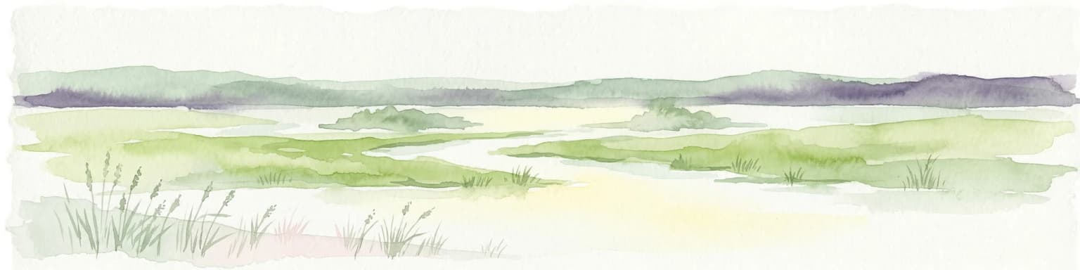
El Parque Nacional de Polesia es conocido principalmente por sus extensos complejos de humedales y turberas, que forman el núcleo de su identidad ecológica. El parque protege una de las mayores áreas de marjal y turbera restantes de Polonia, creando zonas críticas de cría y anidación para aves acuáticas y migratorias. La yuxtaposición de zonas de humedal con rodales de pinar sobre dunas arenosas crea un paisaje visualmente distintivo, poco común en la red de áreas protegidas polacas.
Historia de Parque Nacional de Polesia y cronología del área protegida
El Parque Nacional de Polesie fue formalmente establecido en 1990 para proteger los ecosistemas representativos de la porción oriental polaca de la región de Polesie. La designación se produjo en un momento de creciente reconocimiento de que los humedales del este de Polonia representaban algunos de los hábitats más valiosos y amenazados del país. Antes de obtener el estatus de protegido, la zona había experimentado un desarrollo agrícola limitado en comparación con otras regiones de tierras bajas de Polonia, lo que permitió la supervivencia de grandes áreas de hábitat natural. La creación del parque reflejó tanto las prioridades ecológicas como el reconocimiento cultural del carácter distintivo de la región de Polesie.
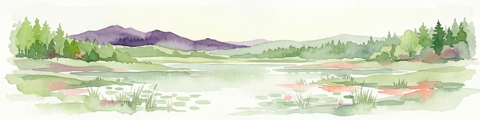
Paisaje y carácter geográfico de Parque Nacional de Polesia
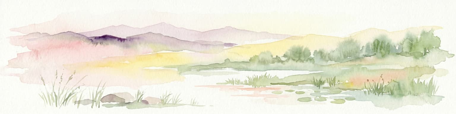
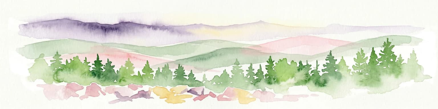
El paisaje del Parque Nacional de Polesia se caracteriza por su terreno de baja altitud modelado por la deposición glacial, con dunas arenosas, turberas y depresiones pantanosas formando los rasgos dominantes. El parque contiene áreas de bosque de pinos que crecen en suelos arenosos, contrastando marcadamente con los corredores de humedales y las superficies abiertas de las turberas. Lagos y estanques salpican el paisaje, algunos formados en depresiones glaciares de kettles mientras que otros representan restos de cauces fluviales. La impresión general es la de un paisaje remoto y salvaje que conserva gran parte de su carácter natural a pesar de siglos de presencia humana en la región circundante.
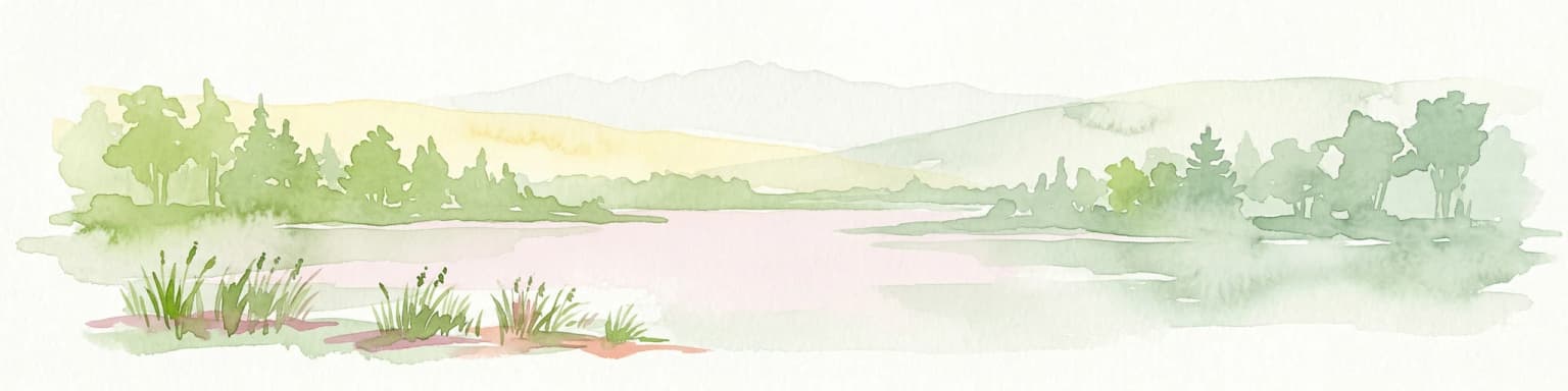
Ecosistemas, hábitats y flora de Parque Nacional de Polesia
El parque protege un complejo de hábitats de humedales interconectados que representan algunas de las áreas ecológicas más valiosas del este de Polonia. Las turberas de diversas edades y niveles de humedad dominan el sistema de humedales, albergando comunidades vegetales distintivas adaptadas a condiciones ácidas y anegadas. Los bosques de pinos circundantes crecen en las elevaciones arenosas más secas entre las áreas de humedal, creando un mosaico de tipos de hábitat que sustenta una alta biodiversidad. La naturaleza de humedal del parque crea condiciones favorables para numerosas especies que son raras o están en declive en otras partes de Polonia.
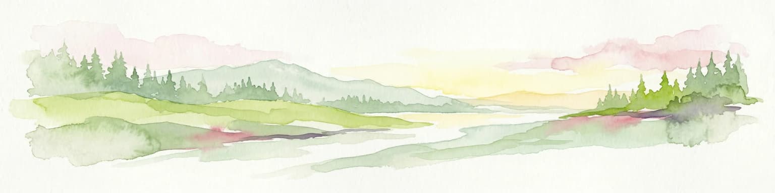
Vida silvestre y especies destacadas de Parque Nacional de Polesia
El Parque Nacional de Polesie proporciona hábitat crucial para aves acuáticas y aves de humedal; los entornos de marismas y turberas sustentan poblaciones reproductoras de especies asociadas con hábitats acuáticos. Los complejos de humedales sirven como importantes áreas de alimentación y anidación durante la temporada de cría, además de funcionar como áreas de paso para aves migratorias que se desplazan entre las zonas de cría del norte y las áreas de invernada del sur. Los bordes de los bosques y las áreas boscosas sustentan poblaciones de mamíferos de mayor tamaño, aunque el parque no es conocido por ningún conjunto de mamíferos grandes particularmente distintivo.