Mori Atlas logo
Park earthquake history

Explore a catalogue of historical seismic records and epicentre proximity for this northern France nature reserve.

Recorded Earthquake Activity and Historical Seismic Data for Réserve naturelle régionale du plateau des landes

Discover a structured historical record of earthquakes associated by proximity with the terrain of Réserve naturelle régionale du plateau des landes. This catalogue presents event data including recorded dates, magnitudes, depths, and calculated epicentre distances for seismic events documented within the surrounding Pas-de-Calais region. The information serves as a resource for understanding the seismic context of the protected landscape without indicating present hazard or environmental risks.

Related tags

regional nature reserveheathlandlowlandPas-de-CalaisHauts-de-France

A crescent-shaped mosaic of restored heathlands protecting wildlife in the hills south of Saint-Omer.

Plateau des Landes Regional Nature Reserve

The Plateau des Landes Regional Nature Reserve is a small protected area in northern France, set on a low plateau in the Pas-de-Calais department at the edge of the Hauts-de-France region. Created as a regional nature reserve in 2009, it brings together a group of former voluntary nature reserves that were originally established to offset the environmental impact of a new road project in the Aa valley. The reserve occupies around 181 hectares, shaped like a long crescent that stretches roughly ten kilometers in length while only one to two kilometers wide. Its terrain is divided into five distinct sectors distributed across several communes just south of Saint-Omer, including Blendecques, Helfaut, Heuringhem, and Racquinghem. The landscape is gentle and rural, sitting at an elevation of roughly seventy meters, and is characterized by open heathland habitats that have been actively managed for biodiversity. Its significance lies in the way it consolidates fragmented patches of heathland into a single managed conservation area. The reserve is administered by the Syndicat Mixte EDEN 62, the regional body responsible for sensitive natural sites in Pas-de-Calais, and it plays an important role in maintaining habitat continuity across an otherwise heavily farmed lowland landscape.

Location
France
Park type
Nature reserve
Established
2009
Area
1.8 km²
Explore Réserve naturelle régionale du plateau des landes

Review Réserve naturelle régionale du plateau des landes records by distance

Search earthquakes near Réserve naturelle régionale du plateau des landes

Earthquake observations near Réserve naturelle régionale du plateau des landes are connected through epicentre location and distance to the reserve, rather than confirmed boundary placement. Search dates, magnitudes, depths, localities, distances, and sources without assigning causation to plateau or heath terrain, judging present hazard, or anticipating activity.

Sort by
Magnitude
Location

This page describes catalogued earthquakes associated with the park by epicentre location and distance. It does not establish causation, assess current danger, or predict future earthquakes.

No earthquake records match the current filters

Park atlas

Beyond Réserve naturelle régionale du plateau des landes earthquake data

More parks after Réserve naturelle régionale du plateau des landes

Réserve naturelle régionale du plateau des landes earthquake data is followed by an independently assembled park selection. The pages do not establish common plateaus, heathland, reserve designation, geology, seismic evidence, nearness, hazard, risk, or comparable source depth.
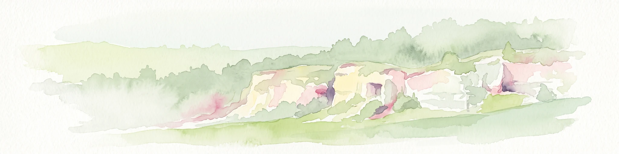
A soft watercolor painting of a grassy landscape with exposed limestone rock faces and green vegetation.
Nature reserveHauts-de-France
About 7.1 km away#1 closest

Southwest

Réserve naturelle régionale des anciennes carrières de Cléty: Protected Geological Landscape

Regional nature reserve in the Hauts-de-France, France

A significant geological protected area in the Pas-de-Calais, this reserve features an exposed chalk quarry face that serves as a stratigraphic record for the Cretaceous period. The landscape hosts a rare intersection of geological heritage and diverse ecosystems, including orchids, butterflies, and bat colonies, within a compact footprint.

Area
0.02 km²
Established
2011
IUCN
IV
A soft watercolor painting of a green meadow, featuring gentle hills in the distance, a small stream flowing through the center, and a few scattered trees, all set against a white background.
Nature reserveHauts-de-France
About 9 km away#2 closest

North

Réserve naturelle régionale des prairies du Schoubrouck: Geography and Protected Area Overview

Wet-meadow habitats and historic watergang networks in northern France.

Located in the Hauts-de-France region, Réserve naturelle régionale des prairies du Schoubrouck provides a focused look at the cultural and ecological heritage of Flemish lowland landscapes. This site preserves an essential mosaic of wet grasslands and traditional drainage systems, serving as a key example of habitat-specific conservation stewardship within the rural fabric of the Nord department.

Area
0.102 km²
Established
2012
IUCN
IV
A horizontal watercolor illustration depicting a soft, impressionistic landscape of wetland meadows, grassy patches, and distant trees in pastel shades of green, yellow, and soft purple.
Nature reserveHauts-de-France
About 26 km away#3 closest

Northeast

Réserve naturelle régionale du vallon de la Petite Becque: Protected Area Map and Geography

Flemish Houtland wetland conservation and regional green infrastructure

This protected area in Hauts-de-France functions as a compact, high-value laboratory for habitat restoration within the modernized Flemish countryside. It provides essential sanctuary for relict marsh flora, orchid-rich meadows, and specialized invertebrate communities, effectively acting as an ecological island amidst a vast expanse of intensively cultivated arable farmland.

Area
0.009 km²
Established
2010
IUCN
IV
Relief
Lowland
Nature reserveHauts-de-France
26 km away#4 closest

Northwest

Réserve naturelle régionale de Pont d'Ardres: Mapped Wetland Geography and Protected Lands

A restored industrial landscape in the Hauts-de-France coastal hinterland.

Situated southeast of Calais, this reserve represents a rare success in ecological restoration. The former sugar factory basins now provide vital habitats for shorebirds and nesting species, maintaining an essential wetland presence in an otherwise cultivated landscape of northern France.

Area
0.663 km²
Established
2012
IUCN
IV
Relief
Lowland
A soft watercolor painting showing a panoramic landscape with light green trees and low hills in the background, set against a pale, washed-out sky.
Nature reserveHauts-de-France
About 29 km away#5 closest

East

Réserve naturelle régionale des prés du Moulin Madame: Regional Protected Meadow Map

Riverine floodplain landscapes in the Hauts-de-France region

The Réserve naturelle régionale des prés du Moulin Madame protects an 8.52 hectare corridor along the Lys river. This site highlights the preservation of traditional flood meadows that are increasingly rare in northern France. Users can examine the park boundaries, understand the flat lowland terrain, and trace the riverine geography that defines this unique protected cultural landscape.

Area
0.085 km²
Established
2015
IUCN
IV
Watercolor painting of a marshy wetland landscape featuring rolling hills, green trees, and foreground grasses against a white background.
Nature reservePas-de-Calais
32 km away#6 closest

Southeast

Marais de Cambrin, Annequin, Cuinchy et Festubert Regional Nature Reserve: Protected Wetland Atlas

Alluvial floodplains and biodiversity refuges in Pas-de-Calais

Trace the boundaries and protected features of the Marais de Cambrin, Annequin, Cuinchy et Festubert Regional Nature Reserve. This site preserves an essential mosaic of open water, peat-rich fens, and damp alluvial woods that function as a crucial nesting ground for waterfowl and a repository for rare botanical heritage in northern France.

Area
0.742 km²
Established
2009
IUCN
IV
Relief
Lowland
A watercolor painting of a rolling rural landscape with bare trees, grassy hills, and distant purple and red hills against a pale sky.
Nature reserveHauts-de-France
32 km away#7 closest

West

Réserve naturelle régionale du Molinet: Protected Calcareous Woodlands and Grassland Mosaic

Geographic and Habitat Analysis of a Pas-de-Calais Nature Reserve

Located in the Boulonnais landscape of northern France, this protected area serves as a vital refuge for calcareous flora. The reserve preserves a rare mosaic of limestone woodlands and grasslands, serving a dual role in both ecological conservation and water catchment protection within the Hauts-de-France administrative region.

Area
0.067 km²
Established
1987
IUCN
IV
Relief
Lowland
Nature reserveHauts-de-France
32 km away#8 closest

North

Réserve naturelle régionale de Grande-Synthe: Protected Geography and Regional Mapping

Nature reserve landscapes in the Hauts-de-France coastal plain

Spanning 174 hectares on the edge of the Dunkirk urban zone, this protected area serves as a model for ecological restoration. Examine the patchwork of sandy grasslands, wetlands, and mature hedgerows that define the reserve, and see its position as a link in the regional green and blue ecological corridor of northern France.

Area
1.74 km²
Established
2015
Relief
Lowland
Climate
Temperate
MoriAtlas Explorer

Explore the Protected Geography of Réserve naturelle régionale du plateau des landes

Continue your study of northern French protected areas by investigating the terrain and habitat boundaries of the Réserve naturelle régionale du plateau des landes. Use the MoriAtlas dataset to visualize how this regional nature reserve serves as a critical conservation mosaic within the wider Hauts-de-France lowland landscape.