
Streams
Park geography
Analyzing the regional landscape, riverine corridors, and expansive grassland terrain
Structured Geographic Profile and Mapped Boundaries of Ruvubu National Park in Burundi
Ruvubu National Park encompasses a protected expanse of 508 square kilometers across the Muyinga, Karuzi, Ruyigi, and Cankuzo regions of Burundi. This geographic profile details the park's internal river systems, including the Ruvubu and Kayongozi, alongside its complex wetland environments and sprawling grasslands.
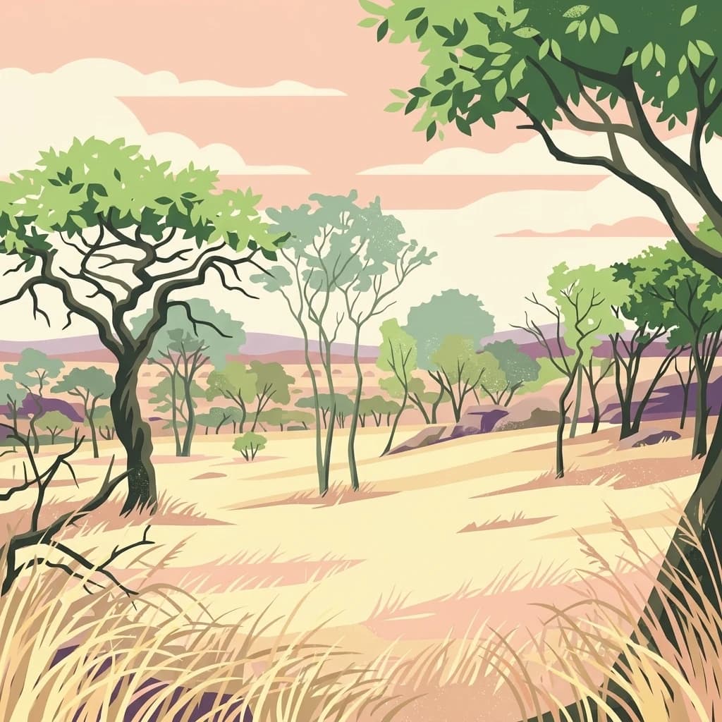
Burundi's largest protected grassland and river valley wilderness
Ruvubu National Park
Ruvubu National Park is Burundi's largest national park, spanning 508 square kilometers across four provinces in the northeastern part of the country. Established in 1980, the park protects what remains of the once-vast natural grassland ecosystem that historically covered much of northeast Burundi. The park takes its name from the Ruvubu River, which flows through the length of the protected area, creating a distinctive river valley landscape that defines the region's character. The park holds significant ecological importance as the last remnant of this grassland ecosystem and serves as a critical habitat for diverse wildlife populations. It was designated as a Ramsar Wetland in March 2013, recognizing its international importance as a protected wetland area.
- Location
- Burundi
- Park type
- National park
- Established
- 1980
- Area
- 508 km²
Location overview
National and regional administrative alignment within Burundi
Geographic Location and Regional Profile of Ruvubu National Park
Ruvubu National Park lies within Burundi, spanning the regions of Muyinga, Karuzi, Ruyigi, and Cankuzo. Regional data confirms the park's status as a completely inland, non-transboundary protected area.
- Countries
- Burundi
- Regions
- Cankuzo, Karuzi, Muyinga, Ruyigi
- Primary location
- Burundi
- Geographic setting
- Inland
Boundary and coordinates
Ruvubu National Park’s mapped boundary covers 508 km²
Ruvubu National Park mapped boundary and 508 km² area
Ruvubu National Park has mapped geometry covering its recorded 508 km² protected extent. The outline gives the park spatial context, while land allocation and perimeter are not separately quantified.
- Boundary area
- 539.6 km²
- Boundary perimeter
- 184 km
- Northernmost point
- 2.9035° S
- Southernmost point
- 3.3697° S
- Easternmost point
- 30.5431° E
- Westernmost point
- 30.0946° E
- Geographic centre
- 3.1354° S, 30.3665° E
- North–south span
- 51.6 km
- East–west span
- 49.9 km
Terrain and natural features
Mixed relief classifications and internal watercourses
Ruvubu National Park Terrain and Named Natural Features
Ruvubu National Park features mixed relief terrain encompassing the internal stream and river networks of Nyakigezi, Nyabizi, Nyamwondo, Kayongozi, and Ruvubu. Linked feature cards supply recorded names, types, measurements, and spatial relationships for each watercourse.
Selected named natural features
Streams
Nyabizi
Streams
Nyamwondo
Rivers
Kayongozi
Rivers
Ruvubu
Environmental setting
Recorded tropical climate zones, mixed relief, and major water presence profiles
Environmental Classifications and Physical Settings in Ruvubu National Park
Stored landscape features and habitat types provide complementary ways to read the physical setting across the terrain. Connected categories link directly to relevant atlas destinations for broader regional exploration.
- Relief
- Mixed relief
- Climate
- Tropical
- Water
- Major water bodies
- Forest cover
- Sparse forest
Landscape features
Valleys · Rivers · Grassland · Wetland
Habitat types
Grassland · Wetland · Riverine habitat
Park atlas
Map the Regional Spread of Protected Landscapes and Compare East African Conservation Efforts
Explore Other National Parks and Protected Areas Around Ruvubu National Park
Continue your exploration beyond Ruvubu National Park by browsing a curated list of nearby protected areas, including additional grassland ecosystems, river valleys, and vital wetland habitats across the East African geography. Comparing these diverse conservation landscapes provides valuable context for understanding regional biodiversity, unique terrain features, and the interconnected network of protected zones.
National parkBurundi
About 87 km away#1 closest
West

Kibira National Park: Burundi's Protected National Park Landscape and Geography
Mapped protected area within the Great Rift Valley region.
Kibira National Park represents a vital protected national park entity within Burundi's diverse geography. As part of the Great Rift Valley's expanse, its mapped boundaries and landscape identity offer a focal point for understanding regional protected areas. This park's presence in Burundi contributes essential data to a structured atlas of natural landscapes and conservation lands across East Africa.
- Area
- 400 km²
- IUCN
- II
- Relief
- Mountain
- Climate
- Tropical
National parkBurundi
About 96 km away#2 closest
West
Rusizi National Park: National Park in Burundi's Geographic Landscape Context
Explore mapped protected area boundaries and regional geography.
Rusizi National Park stands as a significant protected area within Burundi, contributing to the nation's conservation atlas. This national park offers a distinct geographic profile, showcasing its specific landscape and terrain features within the East African context. Users can delve into the mapped boundaries of Rusizi National Park to understand its protected status and its role in the regional geography, facilitating detailed geographic discovery.
- Area
- 90 km²
- Established
- 1980
- IUCN
- II
- Climate
- Tropical
National parkTanzania
About 99 km away#3 closest
Northeast

Burigi-Chato National Park: Protected Landscape Atlas Entry for Tanzania
Explore the mapped geography and terrain of this Tanzanian national park.
Burigi-Chato National Park serves as a distinct protected area within Tanzania, detailed here for its geographic significance and atlas exploration value. Users can delve into the park's specific landscape characteristics, its protected boundaries, and its regional setting. This content is designed to support a deeper understanding of conservation lands and natural terrain within the East African context, offering a factual entry point for detailed geographic discovery.
- Area
- 4,707 km²
- Established
- 2019
- IUCN
- II
- Relief
- Mixed relief
National parkRwanda
About 129 km away#4 closest
Northwest

Nyungwe National Park: Rwanda's Protected National Park for Geographic Discovery
Explore its mapped natural landscape and protected terrain.
Nyungwe National Park represents a vital protected area within Rwanda, contributing a unique landscape to the nation's geographic atlas. This national park offers a specific focus for understanding protected lands, their mapped boundaries, and the natural terrain they encompass. By examining Nyungwe National Park, users gain insight into Rwanda's regional geography and the significance of its conservation efforts within the broader context of East African natural landscapes.

National parkEastern Province
About 146 km away#5 closest
North
Akagera National Park
Understand the mapped terrain and regional context of Akagera National Park.
Akagera National Park, in Rwanda.
- Area
- 1,122 km²
- Established
- 1934
- Visitors
- 34K annual
- Relief
- Mixed relief
National parkTanzania
About 155 km away#6 closest
Southwest
Gombe Stream National Park: Tanzania National Park Mapped Boundaries and Geography
Explore protected landscape identity and regional context.
Gombe Stream National Park is a vital protected area offering a specific geographic focus for atlas-based discovery. Users can examine its mapped boundaries and understand its position within Tanzania's diverse regional geography. This page serves as a canonical entry for comprehending the park's identity as a national park and its contribution to the conservation landscape data, providing essential context for geographic exploration.
National parkGeita Region
About 161 km away#7 closest
Northeast
Rubondo Island National Park: Tanzanian National Park Geography and Mapped Boundaries
Explore the protected landscape within Geita Region.
Delve into the protected landscape of Rubondo Island National Park, a designated national park situated in Tanzania's Geita Region. This page provides essential geographic context, detailing the park's mapped boundaries and its contribution to the regional atlas. Understanding Rubondo Island National Park involves exploring its specific terrain and its significance as a protected natural area within the broader landscape.
- Area
- 456.8 km²
- Established
- 1965
- IUCN
- II
- Visitors
- 1.5K annual

National parkWestern Province
About 170 km away#8 closest
Northwest
Gishwati Forest National Park: Discover Rwanda's Protected Landscape Geography
Mapped protected area boundaries and regional natural landscape.
Gishwati Forest National Park offers a focused exploration of a significant protected natural landscape in Rwanda's Western Province. This resource provides detailed geographic context, highlighting the park's mapped boundaries and its role within the country's conservation areas. Understand its terrain and regional landscape importance through an atlas-centric view.
- Area
- 32.02 km²
- Established
- 2015
- IUCN
- IV
- Relief
- Mountain
MoriAtlas Explorer
Continue Exploring Ruvubu National Park's Geographic and Landscape Context
Deepen your understanding of Ruvubu National Park's protected landscape and its place within Burundi's geography. By continuing to explore this park's details, you gain structured insights into its mapped boundaries and its role in the broader East African atlas. This offers a factual foundation for appreciating its natural terrain and conservation value.
Browse next
Global natural geography
Explore related park routes
Explore MoriAtlas Global ParksBrowse All MoriAtlas ParksGlobal Park Map DiscoveryMoriAtlas: Browse All CountriesBrowse All MoriAtlas ContinentsNational Park Environment AtlasGrand Canyon National Park AtlasYellowstone National Park AtlasYosemite National Park Atlas and GeographySerengeti National Park AtlasGalápagos National Park Protected LandscapeBanff National Park Geography and AtlasKruger National Park Atlas EntryExplore Uluru-Kata Tjuta National Park GeographyPlitvice Lakes National Park AtlasFiordland National Park Protected LandscapeGreat Smoky Mountains National Park AtlasZion National Park Protected Landscape AtlasAfghanistan National Parks and Protected AreasAlbania National Parks and Protected AreasAlgeria National Parks and Protected AreasAmerican Samoa National Parks and Protected AreasAndorra National Parks and Protected AreasAngola National Parks and Protected AreasAntarctica National Parks and Protected AreasAntigua and Barbuda Park List