Mori Atlas logo
Nearby park discovery

Mapping the distribution of natural areas across the Piney Woods and surrounding regions

Protected Landscapes and Regional Park Geography Near Sam Houston National Forest

Examine the geographic distribution of protected lands and national forests in proximity to Sam Houston National Forest. This mapped overview clarifies the landscape context of the Gulf Coastal Plains, tracing regional topography and the proximity of other significant protected areas across east Texas.

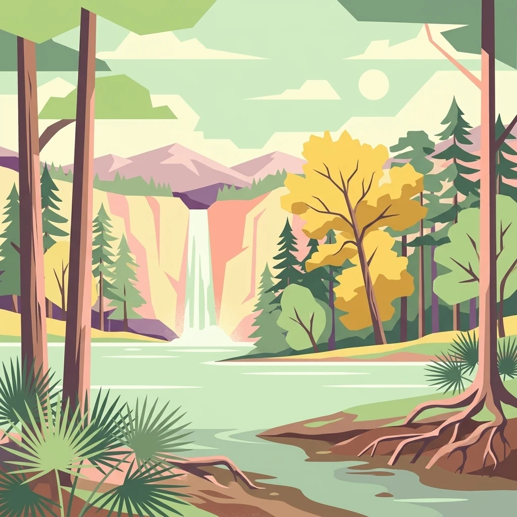
A graphic illustration featuring a lake in the foreground, surrounded by pine and deciduous trees, with a waterfall cascading from a cliff in the background under a pale sun.

Piney woods, lakes, and long-distance trails in the heart of east Texas

Sam Houston National Forest

Sam Houston National Forest is one of four national forests in Texas, covering roughly 163,000 acres across Montgomery, San Jacinto, and Walker counties about 50 miles north of Houston. The forest sits within the Piney Woods region of east Texas and is defined by loblolly and shortleaf pine ridges cut by hardwood-lined creeks and bottomlands. It is notable for the long-distance Lone Star Hiking Trail, the Little Lake Creek Wilderness, Big Creek Scenic Area, and its role as a designated wildlife management area. Major reservoirs at its edges, Lake Conroe and Lake Livingston, give the forest a strong water-oriented recreation character alongside extensive hunting, camping, and multi-use trail opportunities.

Location
United States of America
Park type
Protected landscape
Established
1936
Area
659.8 km²
Sam Houston National Forest Map and Geography
Regional park map

See the ranked park cluster in its geographic setting

Nearby parks around Sam Houston National Forest

This regional map shows the same 20 nearby parks ranked below around Sam Houston National Forest. Select a ranked marker to highlight that park’s boundary where boundary data is available.
Reference park: Sam Houston National ForestRanked nearby parkSelected boundary: Sam Houston National Forest20 nearby parks shown
20 nearby parks

Geographic proximity, direction, and regional landscape comparison for Sam Houston National Forest

Ranked Protected Areas and Parks Near Sam Houston National Forest

Review distance-ranked protected areas located geographically near Sam Houston National Forest to evaluate regional park geography and surrounding terrain patterns. Mapped boundary separation and recorded environmental attributes provide structured comparison signals across neighboring conservation lands.
National parkLouisiana
About 208 km away#1 closest

Northeast

Kisatchie National Forest: Geographic Overview and Protected Landscapes in Louisiana

Mapping the state's largest expanse of protected forest and pine ecosystems.

Spanning over 600,000 acres, Kisatchie National Forest stands as the primary protected natural landscape within Louisiana. Its terrain ranges from ancient upland pine formations and sandstone ridges to complex hardwood bottoms and cypress-tupelo swamps. This area serves as a vital anchor for regional biodiversity, protecting rare hillside seepage bogs and calcareous prairies that have largely vanished from the surrounding southern landscape.

Area
2,440 km²
Established
1930
Relief
Upland
Climate
Subtropical
Wildlife reserveLouisiana
222 km away#2 closest

Northeast

Kisatchie Hills Wilderness: Exploring Louisiana's Rugged Backcountry Protected Landscapes

Upland forest geography and preserved ridge terrain in Louisiana.

Kisatchie Hills Wilderness serves as a rare example of elevated, rugged terrain in Louisiana, offering a protected backcountry environment far removed from coastal marshes. This area provides a specialized map of forest-clad hills, ravines, and clear stream crossings that define a unique regional geography for those tracing Louisiana's diverse natural features.

Area
35.21 km²
Established
1980
IUCN
Ib
Relief
Upland
Marine protected areaTexas
254 km away#3 closest

Southeast

Flower Garden Banks National Marine Sanctuary: Offshore Coral Reefs and Salt Dome Geography

A critical marine protected area landscape in the Gulf of Mexico

Flower Garden Banks National Marine Sanctuary sits roughly 100 nautical miles offshore from the Texas coast, where unique salt dome geology creates elevated ridges that support the northernmost thriving coral reefs in the continental United States. This protected area map highlights the interconnected network of submerged banks and reefs, providing essential habitat for pelagic marine species and rare coral ecosystems in the northwestern Gulf of Mexico.

Area
410 km²
Established
1992
Scope
Marine
Water
Water-dominated
Nature reserveTexas
About 296 km away#4 closest

Southwest

Mission-Aransas National Estuarine Research Reserve: A Texas Coastal Protected Landscape

Mapped estuarine habitats and regional coastal geography

Encompassing a unique mix of terrestrial and marine environments, Mission-Aransas National Estuarine Research Reserve stands as a significant protected corridor on the Texas Coast. The landscape features deep-water bays, sheltered seagrass meadows, and open coastal prairie, offering a clear view of how riverine processes shape the complex shoreline of the western Gulf of Mexico.

Relief
Lowland
Climate
Subtropical
Access
Easy access
Scope
Mixed
Protected areaTexas
297 km away#5 closest

North

Caddo National Grassland: Geographic Overview of a Texas Protected Area

Restored prairie and oak savanna in Fannin County

Located in northeastern Texas, Caddo National Grassland encompasses roughly 17,873 acres across two distinct units. The park illustrates a successful shift from eroded agricultural land to a protected mosaic of native grasses, hardwood stands, and aquatic corridors anchored by Lake Davy Crockett, providing a clear window into the recovery of the southern Great Plains.

Area
72.33 km²
Established
1930
Relief
Lowland
Climate
Temperate
Watercolor painting of a forested landscape with soft rolling mountains in the background and vegetation in the foreground.
Protected landscapeArkansas
336 km away#6 closest

North

Ouachita National Forest: Protected Landscape and Mountain Geography in Arkansas

Exploring the ancient ridges and river corridors of the Ouachita Mountains

Ouachita National Forest protects a unique geological system of east-west folded ridges and sandstone bluffs in the interior United States. This expansive region provides vital habitats for diverse hardwood communities and hosts extensive wilderness areas, offering a deep look into the natural history and terrain of the Ouachita Mountain range within Arkansas.

Area
7,221.44 km²
Established
1907
IUCN
VI
Relief
Mountain
Watercolor painting of soft, rolling green hills and scattered trees against a pale, light-filled sky.
Protected landscapeWise County
343 km away#7 closest

Northwest

Lyndon B. Johnson National Grassland: Atlas and Geographic Landscape Overview

Protected prairie and multiple-use terrain in Wise County

Examine the geographic layout and regional importance of Lyndon B. Johnson National Grassland, a federal protected area in northern Texas. The land offers a unique look at the convergence of open Great Plains prairie and the wooded Cross Timbers, serving as both a working ranching landscape and a preserved natural environment within easy reach of the Dallas-Fort Worth metropolitan area.

Area
82.19 km²
Relief
Lowland
Climate
Temperate
Access
Easy access
Protected landscapeMississippi
363 km away#8 closest

East

Homochitto National Forest: Mapping the Protected Landscapes of Southwestern Mississippi

Regional forest geography and landscape documentation.

Investigate the unique landscape of Homochitto National Forest, an extensive protected area in Mississippi defined by its loess-country topography and managed pine forests. This entry provides essential mapping context and geographic data for those examining the role of this forest within the broader Southeastern United States ecological network and its CCC-rooted heritage.

Area
776.34 km²
Established
1936
Relief
Upland
Scope
Terrestrial
A soft, watercolor-style illustration of a landscape with rolling dunes, sparse grasses, and a lone yucca plant.
Protected landscapeTexas
About 417 km away#9 closest

Southwest

Padre Island National Seashore: Protected Barrier Island Geography and Mapping

Coastal landscapes and hypersaline lagoon ecosystems in South Texas

Padre Island National Seashore serves as a critical protected landscape on the Texas Gulf Coast, characterized by seventy miles of undeveloped shoreline and the hypersaline Laguna Madre. This atlas entry provides geographic context on the barrier island terrain, including active dune fields, tidal flats, and the diverse habitats that support significant migratory bird populations and sea turtle recovery efforts.

Area
527.85 km²
Established
1962
IUCN
V
Visitors
573.3K annual
Watercolor painting of a flowing river with a small waterfall and forested banks against a soft, hilly background.
National parkOklahoma
About 438 km away#10 closest

North

Chickasaw National Recreation Area: Geography and Protected Land Map Overview

Explore spring-fed creek corridors and reservoir landscapes in Oklahoma.

Understand the dual landscape of Chickasaw National Recreation Area, where narrow, spring-fed creek valleys contrast with the expansive shoreline of Lake of the Arbuckles. This record highlights the park's distinct transition from historic CCC-designed infrastructure to the surrounding prairie and forested hill terrain in Murray County.

Area
40.06 km²
Established
1902
Visitors
1.5M annual
Relief
Upland
Protected areaOklahoma
About 448 km away#11 closest

North

Winding Stair Mountain National Recreation Area: Oklahoma Protected Mountain Landscape

Mapped ridge systems and forested highland geography.

Spanning the prominent Winding Stair Mountains, this protected area serves as a key geographic pillar in southeastern Oklahoma. The landscape is characterized by its high-elevation ridgeline profile, pine-covered slopes, and stream-fed valleys, offering a distinct look at the wider Ouachita National Forest ecosystem and its mountainous terrain.

Area
107.02 km²
Established
1988
Relief
Mountain
Climate
Temperate
National parkGarland County
467 km away#12 closest

Northeast

Hot Springs National Park: National Park Protected Area and Geographic Context

Mapped boundaries and regional landscape of this US National Park.

Gain a structured understanding of Hot Springs National Park, focusing on its identity as a protected national park. Examine its mapped geography and regional landscape context within Garland County, providing essential details for atlas-based exploration. This entry details the park's protected area and its position in the broader geographic framework.

Area
22.5 km²
Established
1832
IUCN
II
Visitors
2.6M annual
A horizontal watercolor painting showing rolling green hills and a small stream in the foreground with faint mountain ridges in the distance.
Wildlife reserveArkansas
503 km away#13 closest

Northeast

Flatside Wilderness: Rugged Sandstone Ridges in the Ouachita Mountains

Arkansas wildlife reserve featuring mountain summits and mapped backcountry

Flatside Wilderness offers a deep look at the high-relief geography of the Ouachita Mountains. Featuring prominent sandstone summits and an 8.9-mile segment of the Ouachita National Recreation Trail, this protected landscape provides essential insight into the state's wilderness systems and regional forest ecosystems.

Area
38.47 km²
Established
1984
IUCN
Ib
Protected landscapeArkansas
About 510 km away#14 closest

North

Ozark, St. Francis National Forest: Geographic Overview of Arkansas Protected Wilderness Areas

Mapping rugged mountain slopes and Mississippi River floodplains.

This geographic profile of Ozark, St. Francis National Forest details the distinct ecological divide between the northern Ozark Mountain units and the eastern St. Francis ridge landscape. Use this data to trace the boundaries of old-growth pine stands, karst topography, and river-bottom habitats within one of Arkansas's most significant federal forest management systems.

Area
4,693.55 km²
Established
1908
Relief
Mountain
Climate
Temperate
Protected landscapeTexas
About 520 km away#15 closest

West

Amistad National Recreation Area: Mapped Protected Landscapes in Texas

Desert reservoir geography and canyon ecosystems

Amistad National Recreation Area represents a distinct protected landscape located in Val Verde County, Texas. Centered on the expansive Amistad Reservoir at the United States-Mexico border, the area features rugged limestone canyons and extensive water-based terrain where the Rio Grande, Devils, and Pecos rivers meet. The site offers deep insight into desert canyon geography and historic rock art distributions.

Area
237 km²
Established
1965
Visitors
912.3K annual
Relief
Upland
A watercolor illustration of a coastal landscape with a sandy shoreline, soft green dunes, and a gentle pink horizon against a white background.
Protected landscapeFlorida
582 km away#16 closest

East

Gulf Islands National Seashore: Mapped Landscapes and Protected Coastal Geography

Coastal terrain across Florida, Alabama, and Mississippi.

Spanning diverse units across the Gulf Coast, Gulf Islands National Seashore preserves dynamic barrier islands and mainland reserves. This geographic profile traces the quartz-sand beaches, maritime ecosystems, and historic defense networks that form this protected landscape, providing context on its unique geologic and environmental evolution.

Area
548.179 km²
Established
1971
IUCN
V
Visitors
8.3M annual
Protected areaCoahuila
About 596 km away#17 closest

Southwest

Cuenca Alimentadora del Distrito Nacional de Riego 004 Don Martín Protected Area Geography

A vast watershed and mountain corridor in central Coahuila

This expansive protected area in northern Mexico functions as the primary catchment for the Don Martín irrigation district. The terrain ranges from dry shrubland and grasslands in the Coahuila interior to the rugged, forested heights of the Sierra Madre Oriental. It remains a key case study in river conservation and the complex interplay between arid ecosystems and mountainous watershed systems.

Area
15,193.8 km²
Established
1949
IUCN
VI
Relief
Mountain
A soft watercolor illustration featuring a winding river flowing through a green valley with rolling hills in the background, accented by abstract pink blossoms or light reflections.
Wildlife reserveArkansas
About 598 km away#18 closest

North

Richland Creek Wilderness: Mapping Protected Landscapes in the Arkansas Ozarks

A rugged wilderness area and wildlife reserve

Discover the topography and conservation value of Richland Creek Wilderness. This protected area in the Arkansas Ozarks features a complex network of forested hollows, steep sandstone bluffs, and clear creek corridors, offering an essential look at the region's preserved wilderness character and ecological landscape.

Area
48 km²
Established
1984
IUCN
Ib
Relief
Upland
Wildlife reserveTamaulipas
About 607 km away#19 closest

Southwest

Laguna Madre Wildlife Reserve: Geography and Protected Coastal Landscapes of Tamaulipas

Mapping the hypersaline lagoons and barrier island chains of Mexico

Laguna Madre represents a singular coastal ecosystem characterized by its extreme salinity, expansive seagrass meadows, and sheltered barrier island configuration. As a vital protected wetland, the area serves as a primary migratory flyway and habitat for diverse shorebirds and sea turtles, revealing a distinct arid coastal landscape along the Tamaulipas shore.

Area
5,728.08 km²
Established
2005
IUCN
VI
Relief
Lowland
Protected areaNuevo León
About 616 km away#20 closest

Southwest

Sierra de Picachos Protected Area: Geographic Boundaries and Regional Landscapes

Mountain geography in northern Nuevo León

Sierra de Picachos represents a vital conservation zone spanning north of Monterrey. The landscape is defined by its dramatic elevation changes, moving from desert-like plains to cool coniferous slopes. This atlas entry focuses on the physical boundaries, ecological zones, and the rugged, peak-studded terrain that distinguish the range from the surrounding Sierra Madre Oriental.

Area
1,405 km²
Established
2000
Relief
Mountain
Climate
Subtropical
Distance methodology

Geographic measurements, not driving distances

How nearby park distances are calculated

Distances use park boundaries whenever the available geometry allows it. When one or both boundaries are missing, the mapped park locations provide a clearly labelled estimate. Every value represents straight-line geographic separation and does not use roads or routing.

Boundary distance

Calculated between the nearest points of both park boundaries.

Location-to-boundary estimate

Estimated from one mapped park location to the nearest boundary of the other park.

Mapped-location estimate

Estimated between the mapped locations of both parks.

MoriAtlas Explorer

Continue Your Geographic Exploration of Sam Houston National Forest

Deepen your understanding of this significant Texas protected landscape through the MoriAtlas platform. Analyze the specific terrain of the Piney Woods, trace the expansive Lone Star Hiking Trail, and examine the relationship between the forested ridgelines and the surrounding lake reservoirs within this unique regional ecosystem.