Mori Atlas logo
Park earthquake history

Tracking seismic event magnitudes and epicentre proximity within the regional landscape

Historical Catalogue of Recorded Earthquake Events Near Sila National Park in Calabria

This database documents historical earthquake records associated by epicentre distance with Sila National Park. Each entry provides technical data including event dates, magnitude ratings, and focal depths to support geographic analysis of seismic activity patterns across this Calabrian plateau. All records derive from standardized geological reporting, focusing strictly on past events to provide a comprehensive look at seismic history in the region.

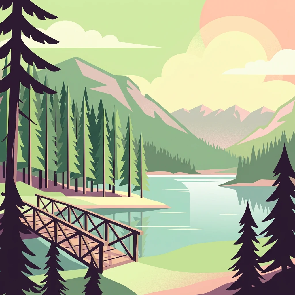
Illustration of a wooden bridge over a lake with pine trees and mountain range in the background

Ancient mountain plateau of Calabria protecting one of Italy's most extensive forests and the endemic wolf

Sila National Park

Sila National Park is a protected area in Calabria, southern Italy, established in 2002 on the historic Sila Plateau. The park encompasses approximately 737 square kilometers across 21 municipalities in three provinces (Cosenza, Catanzaro, and Crotone), making it one of Italy's larger national parks. The landscape is characterized by a mountainous massif with three distinct geographic zones: Sila Grande, Sila Piccola, and Sila Greca, each offering different ecological characteristics. The park protects one of Italy's most significant forest ecosystems, with approximately 80 percent of its territory covered in woodland, the highest percentage of any Italian national park. This forest is dominated by the endemic Pino laricio (Pinus nigra laricio), beech forests, and silver fir communities. The park's establishment followed nearly eighty years of legislative discussion beginning with a 1923 proposal, and it succeeded the earlier Calabria National Park of 1968.

Location
Italy
Park type
National park
Established
2002
Area
737 km²
Highest point
1,928 m
Sila National Park Protected Landscape

Set reported epicentres against Sila’s mountains, plateau, forests, lakes and valleys

Investigate earthquake records around Sila National Park

Explore earthquake observations around Sila National Park, officially Parco Nazionale della Sila, a 736.95 km² mixed-relief park with major water across mountains, forest, lakes, rivers, valleys and plateau; compare date, magnitude, depth and park distance with source access. Proximity does not confirm boundary occurrence, landscape effects, present danger, cause or future activity.

Sort by
Magnitude
Location

This page describes catalogued earthquakes associated with the park by epicentre location and distance. It does not establish causation, assess current danger, or predict future earthquakes.

No earthquake records match the current filters

Park atlas

Continue after Sila National Park earthquake records

Discover more parks and protected places beyond Sila National Park

Once Sila National Park’s earthquake catalogue has been explored, the next links introduce protected places with independent identities. Use them to move beyond Calabria’s forested plateau and distinctive ecology, not as a ranked list of seismic counterparts or a claim that the destinations share Sila’s national-park status, geology, proximity, current hazard, risk, or evidence depth.
Watercolor illustration showing green hills, a valley, and pink rock formations under a pale sky
National parkBasilicata
33 km away#1 closest

Northwest

Pollino National Park: Protected Landscape of Ancient Forests and Alpine Terrain

Italy's largest national park and UNESCO Global Geopark

Pollino National Park, located in the Basilicata region, is a significant protected landscape renowned for its extensive ancient forests, particularly its rare Bosnian pines, and its dramatic, high-altitude mountain geography. Covering over 1,925 square kilometers, this national park is also recognized as a UNESCO Global Geopark, highlighting its exceptional geological heritage and unique ecosystems. The park's rugged terrain, soaring peaks, and rare ancient trees offer rich opportunities for understanding regional protected areas and mapped natural landscapes in southern Italy.

Area
1,925.65 km²
Established
1992
IUCN
II
Relief
Mountain
Watercolor illustration of a mountainous landscape featuring a winding river, trees, and grass.
National parkCalabria
76 km away#2 closest

Southwest

Aspromonte National Park: A Protected National Park within Calabria's Geographic Atlas

Explore its mapped terrain and regional landscape context.

Aspromonte National Park represents a crucial element within the protected landscapes of the Calabria region. This page serves as an in-depth atlas entry, detailing the park's geographic features and its specific context within southern Italy's broader natural terrain. Users can explore the park's mapped boundaries and understand its significance as a protected area within the Italian peninsula's rich geography.

Area
641.53 km²
Established
1989
IUCN
II
Relief
Mountain
Watercolor illustration showing a landscape with mountains, green forests, and a river under a soft sky
National parkBasilicata
80 km away#3 closest

Northwest

Appennino Lucano - Val d'Agri - Lagonegrese National Park: Protected Mountain Landscape in Basilicata, Italy

Explore its geography, mapped terrain, and ecological role.

Gain insight into Appennino Lucano - Val d'Agri - Lagonegrese National Park, a significant protected mountain landscape in the heart of Basilicata. This detailed page focuses on the park's distinct geographic features, its role as a crucial ecological corridor connecting major southern Italian protected areas, and the mapped contours of its diverse terrain. Understand its place within the Lucano Apennine range and the broader natural atlas of Italy.

Area
689.96 km²
Established
2007
IUCN
II
Relief
Mountain
Watercolor painting showing mountains, a lake, and grassy fields
National parkItaly
100 km away#4 closest

Northwest

Cilento, Vallo di Diano and Alburni National Park: An Italian National Park's Geographic and Protected Landscape Identity

Mapped protected area boundaries and regional context.

Delve into the core geographic and protected-area characteristics of Cilento, Vallo di Diano and Alburni National Park. As a designated National Park in Italy, its mapped boundaries and landscape context are essential for atlas exploration. This entry provides the foundational geographic understanding needed to place this protected land within a broader map-based discovery framework, highlighting its significance as a natural landscape.

Area
1,810.48 km²
Established
1991
IUCN
II
Relief
Mountain
Watercolor illustration showing green grasslands, distant hills, and a winding path under a light sky
National parkItaly
142 km away#5 closest

North

Alta Murgia National Park: National Park Exploration and Protected Landscape Context

Explore mapped terrain and regional geography.

Alta Murgia National Park is a designated national park offering unique opportunities for geographic discovery. Delve into its protected landscape, understand its mapped boundaries, and situate it within the broader Italian atlas. This entry provides essential context for exploring the park's terrain and regional significance.

Area
677.39 km²
Established
2004
IUCN
II
Relief
Mixed relief
Watercolor illustration of a mountainous landscape with green hills, a valley with a river, and distant mountains under a pink and yellow sky
National parkCampania
220 km away#6 closest

Northwest

Vesuvius National Park: Protected Volcanic Landscape in Campania, Italy

Explore mapped boundaries and regional geography.

Discover Vesuvius National Park, a vital protected area safeguarding Italy's iconic active volcano. This page provides essential geographic context, detailed mapped terrain, and insights into the park's unique volcanic landscape within the Campania region. It serves as a key entry point for understanding the park's protected status and its geological significance for structured atlas exploration.

Area
72.59 km²
Established
1995
IUCN
II
Relief
Mountain
Watercolor illustration of a tree, green hills, and distant water view
National parkApulia
229 km away#7 closest

North

Gargano National Park: Apulia's Protected Landscape and Regional Geographic Context

Mapped boundaries and natural terrain of a key Italian national park.

Delve into Gargano National Park, a designated national park situated in the Apulia region of Italy. This protected landscape offers valuable insights into the geography of the Gargano promontory. Through MoriAtlas, users can explore its mapped boundaries, understand its terrain, and connect it to the broader regional geography of southern Italy, providing a solid foundation for protected-area discovery.

Area
1,181.44 km²
Established
1991
IUCN
II
Relief
Mixed relief
A soft watercolor painting of a coastal landscape with green hills meeting a light, abstract water or shoreline, with faint mountains in the background.
Nature reserveVlorë County
About 247 km away#8 closest

Northeast

Karaburun Peninsula Nature Reserve: Mapping the Coastal Karst and Marine Landscapes

Protected rugged cliffs in Vlorë County, Albania

Karaburun Peninsula is a significant protected area defined by high limestone ridges and a heavily indented western shoreline. The terrain features numerous sea caves, historic bays, and prominent headlands that descend directly into the sea. As a vital nature reserve, it preserves the natural integrity of this mountainous coastal stretch within Vlorë County, offering a clear geographic overview of one of Albania's most remote wilderness areas.

Area
62 km²
Relief
Mountain
Climate
Mediterranean
Access
Moderate access
MoriAtlas Explorer

Continue Exploring Sila National Park's Geographic and Protected Landscape Identity

Deepen your understanding of Sila National Park by exploring its specific geographic context and its role as a protected landscape within the Calabria region. This focused view helps build a richer atlas of southern Italy's natural areas and their mapped boundaries. Continue discovering the unique geography that defines this important national park and its place in the regional context.