Peaks
성재봉
538 m

Technical overview of regional administrative context, terrain features, and spatial metrics.
This geographic profile details the spatial extent and administrative coverage of Songnisan National Park across the South Korean regions of Chungcheongbuk-do and Gyeongsangbuk-do. The analysis covers mapped boundary dimensions and identifies internal natural features, including significant mountain peaks, saddles, and terrain formations characteristic of this protected landscape.
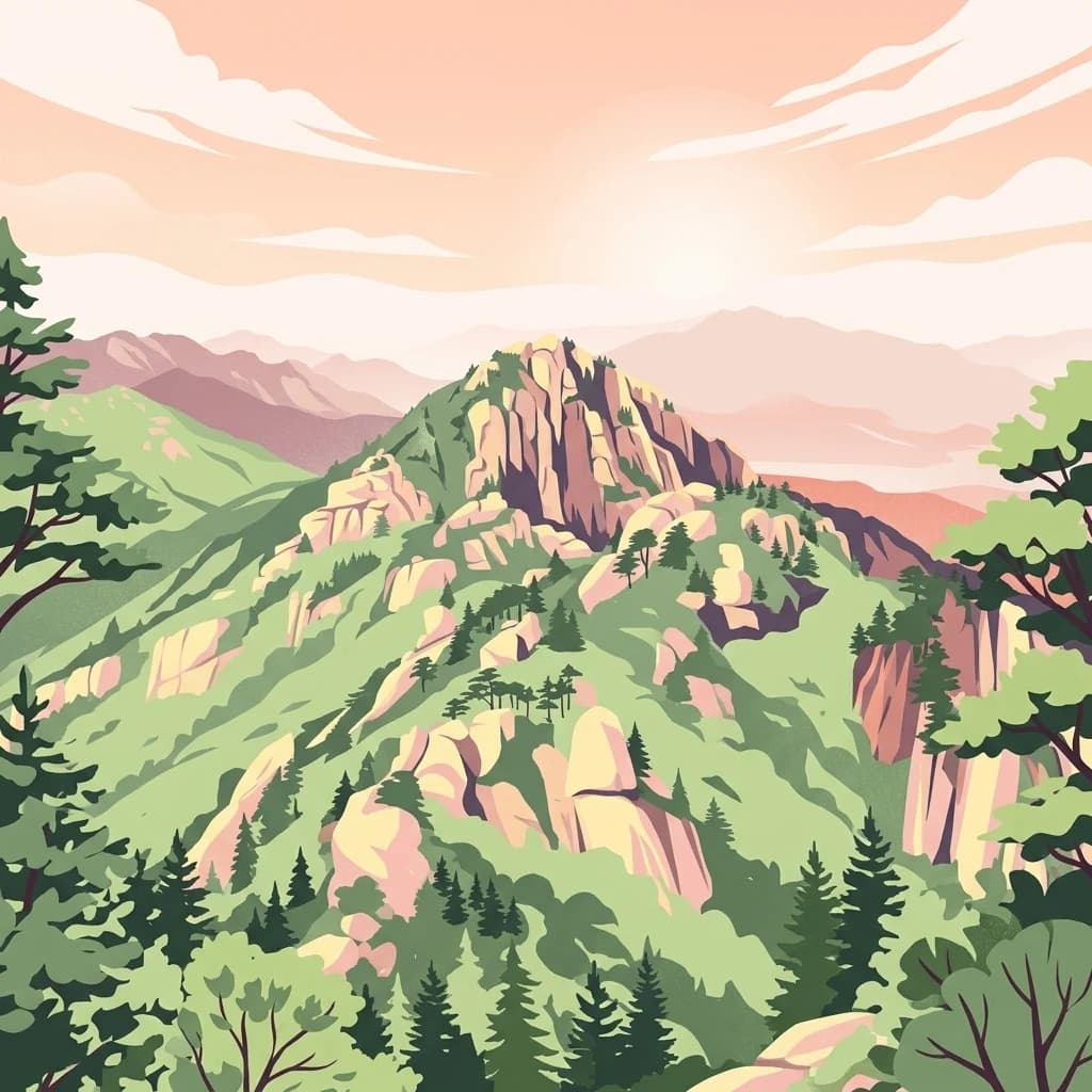
Ancient mountain sanctuary preserving Korean Buddhist heritage and wild landscapes
Songnisan National Park is a protected mountain area in central-east South Korea, spanning the border between Chungcheongbuk-do and Gyeongsangbuk-do provinces. The park encompasses the peak of Songnisan along with nine summits of the Sobaek Mountains range, creating a dramatic landscape of forested ridges, deep valleys, and rocky peaks. Established in 1970 as Korea's sixth national park, the area covers approximately 274.5 square kilometers of mountainous terrain that forms part of a broader mountainous corridor running through the eastern Korean peninsula. The park's name, meaning "mountain to leave the world" in Korean, originates from a legendary account during the Silla dynasty when a monk's spiritual presence inspired local farmers to abandon their worldly lives and follow him to Buddhist practice.
Regional positioning across South Korea and provincial administrative areas
Songnisan maps 274.541 km² of land and zero marine area
Mountain classification and recorded natural features within protected boundaries
Peaks
538 m
Rock formations
595 m
Natural springs
Peaks
1,029.5 m
Reservoirs
Rock formations
Temperate climate zones, mountain relief, and forest habitat records
Mountains · Forest · Valleys
Montane forest · Temperate coniferous forest
Uncover related protected areas and mapped park geography in Songnisan's central Korean region.

Northeast

Discover its mapped mountain terrain and protected landscape identity.
Woraksan National Park offers a detailed view of protected mountain landscapes within South Korea's Gyeongsangbuk-do region. The park is characterized by its prominent Mount Worak, steep ridgelines, and dense forested terrain, contributing significantly to the nation's network of protected areas. Users can explore the geographic context, mapped boundaries, and ecological significance of this vital national park, understanding its place in the broader regional atlas and natural landscape context.

Northeast
Explore its park boundaries and regional geography.
Sobaeksan National Park represents a crucial protected area within the mountainous terrain of Chungcheongbuk-do, South Korea. As a designated national park, it offers a valuable point of reference for understanding regional geographic distribution and landscape context across the Korean Peninsula. This park's identity as a protected natural landscape contributes significantly to the atlas-based exploration of conservation areas and their environmental settings.
West
Explore its national park designation and regional geography.
Gyeryongsan National Park is a formally protected national park in Chungcheongnam-do, South Korea. This page offers critical atlas context for understanding the park's geographic scope, mapped protected boundaries, and its significance as a natural landscape within the region. Examine the terrain and explore its regional context for a deeper appreciation of its protected status.

North
Explore mapped boundaries and regional terrain.
Chiaksan National Park is a designated national park within South Korea's Gangwon-do region, offering a focused entry point for geographic discovery. This resource details the park's protected landscape, its mapped boundaries, and its relation to the surrounding natural terrain. Delve into the atlas-style context of Chiaksan National Park to understand its significance as a protected natural area within its regional geography.

South
Explore its protected land boundaries and regional landscape context.
Examine Deogyusan National Park, a designated national park situated in the Jeollabuk-do region of South Korea. This entry provides critical geographic context, focusing on the park's mapped boundaries and its role as a protected landscape. Users can gain a structured understanding of its natural terrain and regional significance, contributing to a broader atlas of protected areas.
South
Discover Protected Landscape and Regional Terrain
Gayasan National Park presents a distinct protected-area entity within South Gyeongsang Province, serving as a crucial point for atlas-driven geographic exploration. As a designated national park in South Korea, it offers insights into its specific mapped boundaries and the surrounding natural terrain. Understanding this park's role within the regional geography provides a foundational element for comprehending broader landscape patterns and protected land distribution across the country.
East
Mapped terrain, park boundaries, and natural landscapes.
Juwangsan National Park is a protected natural area situated within South Korea's Taebaek mountain range, renowned for its steep valleys, waterfalls, and dense forests. This park offers a rich landscape context, showcasing dramatic ridgelines and providing a significant example of South Korea's protected mountain terrain. Discover its geographic placement, mapped protected boundaries, and the unique natural and cultural elements that define this national park.

North
Explore the mapped boundaries and regional terrain of this national park.
Access detailed geographic information and atlas-style exploration for Odaesan National Park, a protected National Park located in Gangwon-do, South Korea. Understand its distinct landscape character and mapped boundaries, contributing to a broader understanding of protected areas within the regional geography. This resource is designed for users interested in the specific geographic identity and mapped context of individual park entities.
Investigate the mapped boundaries and natural terrain of Songnisan National Park to deepen your understanding of South Korea's protected lands. This exploration offers a focused view on the park's geographic identity and its significance as a national park within the regional atlas. Continue to uncover the specific landscape context and mapped conservation areas that define Songnisan National Park.