Peaks
Stenshuvud
96.9 m

A comprehensive geographic analysis of the landscape features, elevation, and land cover in Skåne County
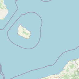
Examine the structured geographic data for Stenshuvud National Park, covering its 3.9 square kilometer boundary and varied lowland terrain. This profile details the physical landscape including ridges, coastal hills, and temperate forest cover found within this protected Swedish region.
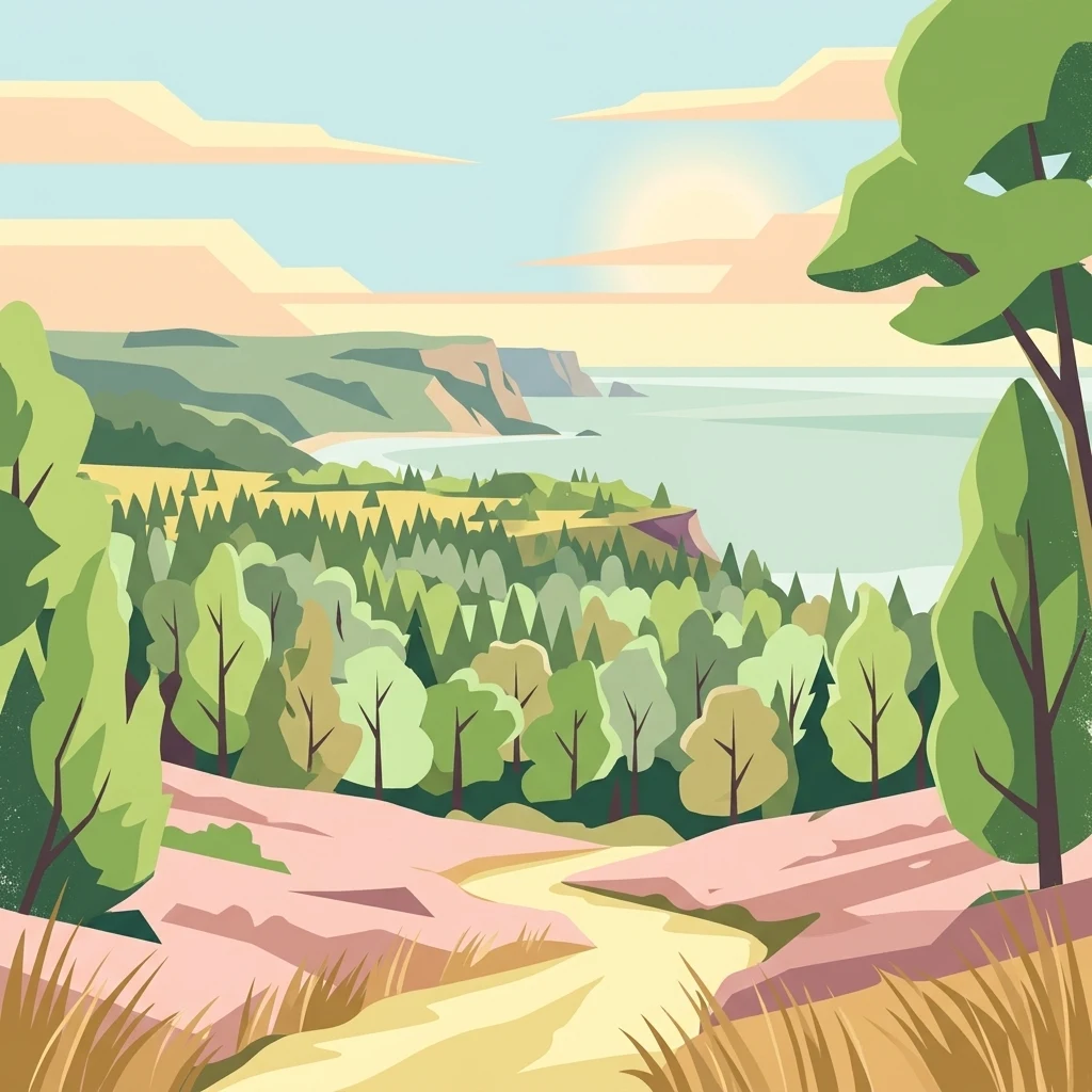
Scenic hilltop nature reserve on Sweden's Baltic coast in historic Scania
Stenshuvud National Park is a compact but ecologically rich protected area in the southeastern corner of Sweden's Scania province, along the Baltic Sea coast. Established in 1986, the park centers on a prominent hill that rises 97 meters above sea level, creating a distinctive landmark visible across the relatively flat coastal landscape. The park covers approximately 3.9 square kilometers and is managed by Sweden's Environmental Protection Agency (Naturvårdsverket). The area is characterized by diverse habitats including broadleaf forest, heaths, meadows, and swamps, supporting an unusual concentration of species for Sweden due to the region's mild climate. The hill has long served as an important navigational marker for seafarers, and the landscape holds cultural significance with remains of an Iron Age fortress near the summit and local folklore connecting the terrain to giant legends.
Regional position and coastal status in Skåne County, Sweden
Stenshuvud National Park’s compact outline maps 3.9 km²
Recorded lowland relief points and natural landforms
Peaks
96.9 m
Hills
Peaks
Streams
Bays
Hills
Temperate climate zones, lowland relief, and broad forest cover settings
Forest · Woodland · Grassland · Wetland · Hills
Temperate broadleaf forest · Grassland · Heath · Wetland · Riverine habitat
Trace Sweden's Diverse Protected Landscapes, Comparing Regional Park Geography and Coastal Features
West

Unique limestone geology, spring flowers, and mapped terrain.
Dalby Söderskog National Park, though only 36 hectares, offers exceptional botanical discovery rooted in its fertile limestone soils. This protected area in Scania, Sweden, showcases a dense deciduous forest ecosystem with remarkable diversity, particularly evident in its vibrant spring wildflower displays. Use MoriAtlas to explore the park's mapped boundaries and understand its significant role within the regional geography and broader protected landscape atlas.
Northwest
Mapped protected area with varied terrain and dense forest cover.
Delve into the protected landscape of Söderåsen National Park, a national park in Southern Sweden distinguished by its unique ridge topography, steep slopes, and extensive forests. This site serves as a key point for atlas-based exploration of natural terrain and regional geography, offering a clear view of its mapped boundaries and ecological significance within the Southern Swedish highlands. Understand the character of this protected area and its place in the broader mapped landscape.
West

Explore pioneer plant habitats and coastal meadow geography
Amager Fælled functions as a 223-hectare nature reserve that borders the urban development of Copenhagen. The landscape offers a study in contrasts, featuring thin drought-prone soils, historical military and landfill substrates, and protected coastal meadow strips. This site remains a vital geographical reference for understanding urban-edge conservation and the long-term layering of human land use.
West
Mapped wetland habitat and natural terrain analysis.
Brobæk Mose serves as a primary example of a spring-fed wetland within the glacial landscapes of Gentofte Kommune. The area preserves rich fens and developing natural forest, offering a clear view of post-glacial valley geography and protected ecological zones surrounded by the Copenhagen suburban environment.
West
A key hydrological watershed site and managed meadow reserve
Examine the topographic features of Smør- og Fedtmosen, where groundwater-fed mires and dead-ice depressions create a distinct wetland system. This protected area showcases a transition from saturated reed beds to grazed meadows, illustrating the intersection of long-term conservation and the natural geography of a former tunnel valley.

West
Glacial tunnel valley landscapes and Natura 2000 protected waters.
Spanning deep basins and shallow shorelines, Furesø represents a significant protected freshwater body within the North Zealand region. The surrounding mosaic of peatlands and alder swamps highlights a legacy of glacial activity and ongoing conservation efforts. This area remains a focal point for understanding the interplay between metropolitan geography and preserved natural terrain.
South

Explore the protected geography of Mecklenburg-Vorpommern's Rügen island.
Jasmund National Park showcases one of Northern Europe's most dramatic natural formations, defined by its striking white chalk cliffs plunging into the Baltic Sea and its UNESCO-recognized primeval beech forests. This protected area offers a profound look into geological heritage and undisturbed forest ecosystems. Navigate its mapped boundaries and understand its unique landscape context within the Mecklenburg-Vorpommern region through detailed atlas exploration on MoriAtlas.
West
Glacial landforms and conserved nature corridors near Copenhagen
Naturpark Mølleåen spans fifty square kilometers of protected forests, lake districts, and ice-margin ridges in northern Zealand. This glacial terrain represents a nationally recognized geological area, offering a rare density of tunnel valleys and meltwater channels that serve as an essential ecological refuge within the broader Danish landscape.
Delve deeper into the protected natural context of Stenshuvud National Park to understand its unique geography and role within Skåne County. The MoriAtlas platform allows for structured exploration of its mapped boundaries, diverse terrain, and surrounding regional landscapes, providing a comprehensive view for any atlas enthusiast.