
Lakes
Park geography
A detailed look at terrain, elevation, and recorded natural features within the park boundaries
Comprehensive Geographic Profile and Mapped Boundaries of Tolhuaca National Park, Chile
This geographic profile provides an in-depth view of Tolhuaca National Park, situated in the La Araucanía Region of Chile. Spanning 64.74 square kilometers, the park exhibits mountain relief ranging from 700 to 1821 meters in elevation. Discover structured data on its perimeter, internal water systems, and natural landscapes including montane forests and alpine meadows.

Andean forests and volcanic landscapes in Chile's oldest protected area
Tolhuaca National Park
Tolhuaca National Park is a protected area located in the commune of Curacautín within Malleco Province of Chile's La Araucanía Region. The park encompasses part of the forested lower western spurs and foothills of the Andes Mountains, protecting a landscape of significant ecological and historical importance. Established in 1935, the park was created on land that was previously part of Malleco National Reserve, which holds the distinction of being the first protected wildlife area in both Chile and South America. This makes the land within Tolhuaca National Park among the oldest continuously protected areas on the continent. The park features elevation ranging from 700 to 1,821 meters above sea level and contains several small lakes and ponds, including the notable Laguna Malleco and Laguna Verde. The imposing Tolhuaca volcano dominates the park's visual landscape, though it lies just outside the protected boundary.
- Location
- Chile
- Park type
- National park
- Established
- 1935
- Area
- 64.7 km²
Location overview
Exploring the regional distribution and national boundaries in Chile
Tolhuaca National Park Geographic Location and Regional Setting
Tolhuaca National Park is situated within Chile, located specifically inside the borders of the La Araucanía Region. Clear regional mapping establishes its domestic status and defines its local administrative alignment.
- Countries
- Chile
- Regions
- La Araucanía Region
- Primary location
- Chile
Boundary and coordinates
Explore mapped protected boundaries and calculated spatial metrics.
Tolhuaca National Park Boundary Map and Geographic Extent
Interactive boundary geometry provides visual spatial context for protected land areas. Accompanying facts display derived area measurements, coordinate limits, and geographic spans.
- Boundary area
- 64.2 km²
- Boundary perimeter
- 60.5 km
- Northernmost point
- 38.1744° S
- Southernmost point
- 38.2436° S
- Easternmost point
- 71.6881° W
- Westernmost point
- 71.9282° W
- Geographic centre
- 38.2036° S, 71.8252° W
- North–south span
- 7.7 km
- East–west span
- 21 km
Elevation and terrain
Mountain relief metrics paired with recorded interior natural features
Tolhuaca National Park Terrain and Elevation Summary
Elevation records span from seven hundred meters to eighteen hundred twenty-one meters across the mountain terrain. Linked feature cards supply names, types, measurements, and spatial relationships for recorded natural entities within the boundary.
Elevation span
1,121 m
Vertical extent from the lowest to the highest recorded elevation in the park
- Minimum elevation
- 700 m
- Maximum elevation
- 1,821 m
Selected named natural features
Viewpoints
Mirador Laguna Verde
Waterfalls
Salto del Malleco
49 m high
Viewpoints
Mirador Cascada La Culebra
Rivers
Rio Malleco
Rivers
Río Pichimalleco
Environmental setting
Temperate mountain relief, dominant forest cover, and major water systems
Tolhuaca National Park Environmental Classifications and Physical Setting
Recorded landscape features, habitat types, and climate zones offer complementary ways to read the physical setting of Tolhuaca National Park. Associated classifications connect specific environmental records directly to broader atlas destinations across the region.
- Relief
- Mountain
- Climate
- Temperate
- Water
- Major water bodies
- Forest cover
- Dense forest cover
- Seasonality
- Seasonal
Landscape features
Mountains · Hills · Forest · Lakes · Rivers · Waterfalls · Volcano
Habitat types
Temperate broadleaf forest · Temperate coniferous forest · Montane forest · Lacustrine habitat · Riverine habitat · Wetland · Alpine meadow
Park atlas
Discover other protected landscapes across Chile's Andean foothills and compare regional park geography.
Explore Nearby National Parks and Protected Areas Around Tolhuaca National Park
Continue your exploration from Tolhuaca National Park by browsing an atlas of nearby national parks and protected areas, mapping their geographic spread across Chile's Malleco Province. This focused view helps compare diverse protected landscapes, including ancient forests and volcanic terrains, offering deeper insights into regional conservation efforts.
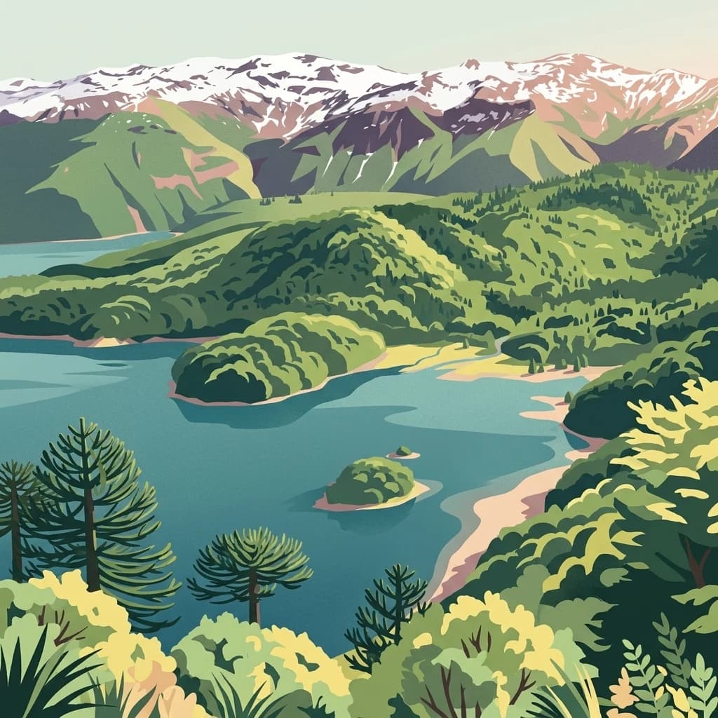
National parkLa Araucanía Region
30 km away#1 closest
South

Conguillío National Park
Discover unique terrain within La Araucanía Region's geography.
Conguillío National Park, in La Araucanía Region, Chile. Landscapes: mountains, valleys, and forests.
- Area
- 608 km²
- Established
- 1950
- IUCN
- II
- Visitors
- 21.8K annual
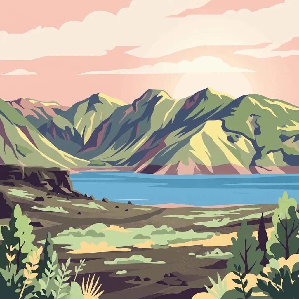
National parkBío Bío Region
85 km away#2 closest
Northeast
Laguna del Laja National Park: Mapped Protected Area in Chile's Bío Bío Region
Explore regional park geography and landscape context.
Laguna del Laja National Park represents a key protected area with distinct geographic attributes within the Bío Bío Region. This profile focuses on its identity as a national park, providing context for its mapped boundaries and natural landscape. Discover its place in regional geography, offering valuable insights for any atlas-focused exploration of Chile's protected lands.
- Area
- 119 km²
- Established
- 1958
- IUCN
- II
- Visitors
- 48.8K annual
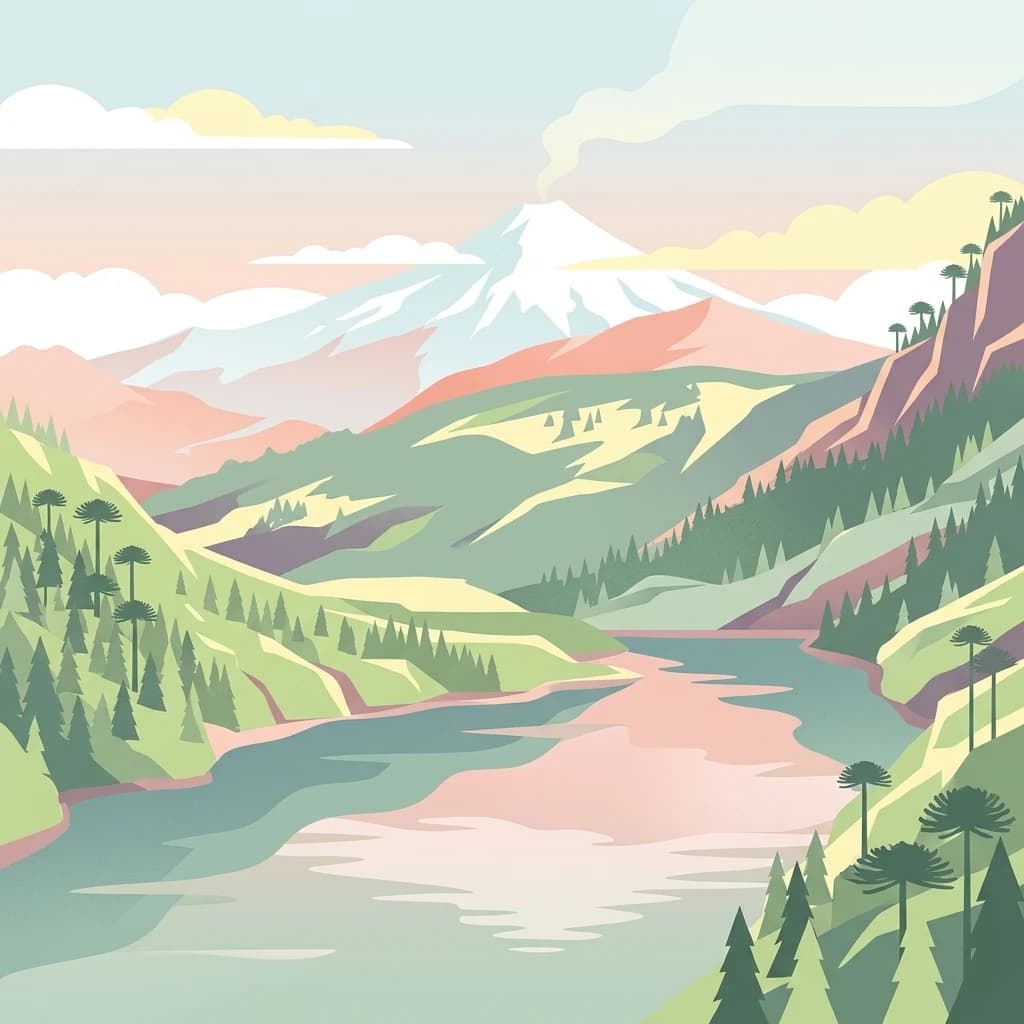
National parkLa Araucanía Region
91 km away#3 closest
South
Huerquehue National Park: Ancient Araucaria Forests and Glacial Lakes in La Araucanía
Mapped protected area in the Andean foothills of Southern Chile.
Delve into the protected landscape of Huerquehue National Park, a key component of Chile's southern conservation efforts within the La Araucanía Region. This national park is defined by its ancient araucaria forests, home to the iconic monkey puzzle tree, and a network of clear glacial lakes including Tinquilco Lake. Its mountainous terrain, rising from 720 to 2,000 meters, showcases a vital representative of the Andean-Patagonian forest ecosystem, offering rich context for map exploration and understanding protected-area geography.
- Area
- 125 km²
- Established
- 1967
- IUCN
- II
- Visitors
- 35.5K annual
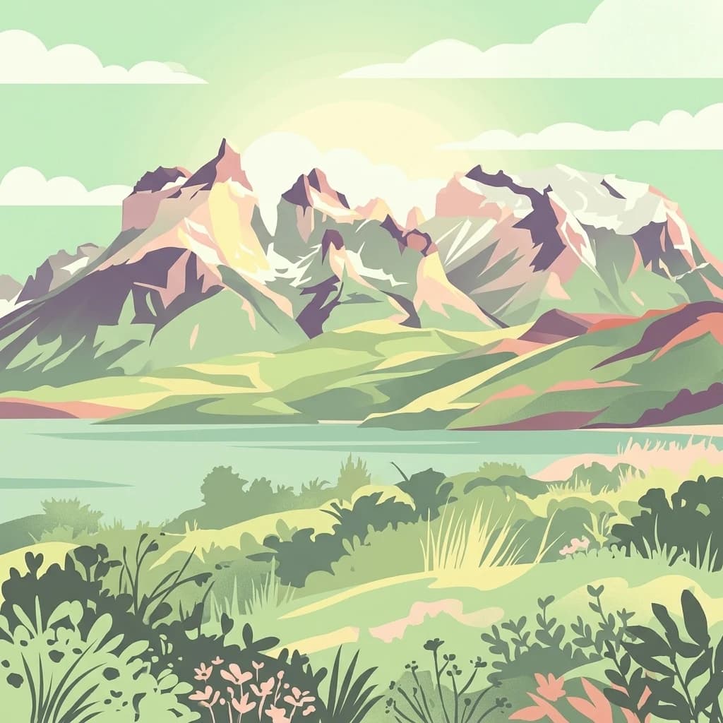
National parkLa Araucanía Region
99 km away#4 closest
Northwest
Nahuelbuta National Park: Ancient Araucaria Forests and Protected Highland Geography
Discover its mapped boundaries atop the Cordillera de Nahuelbuta.
Nahuelbuta National Park is a significant national park in Chile's La Araucanía Region, celebrated for its ancient monkey puzzle tree forests atop the Cordillera de Nahuelbuta. This protected area showcases a unique highland landscape with rugged terrain and exposed rocky outcrops, preserving species more typical of Andean and Patagonian environments. Understanding its mapped geography and protected landscape identity is key to appreciating its ecological importance and distinct position within South America's natural atlas.
- Area
- 68 km²
- Established
- 1939
- IUCN
- II
- Relief
- Mountain
National parkNeuquén Province
100 km away#5 closest
South

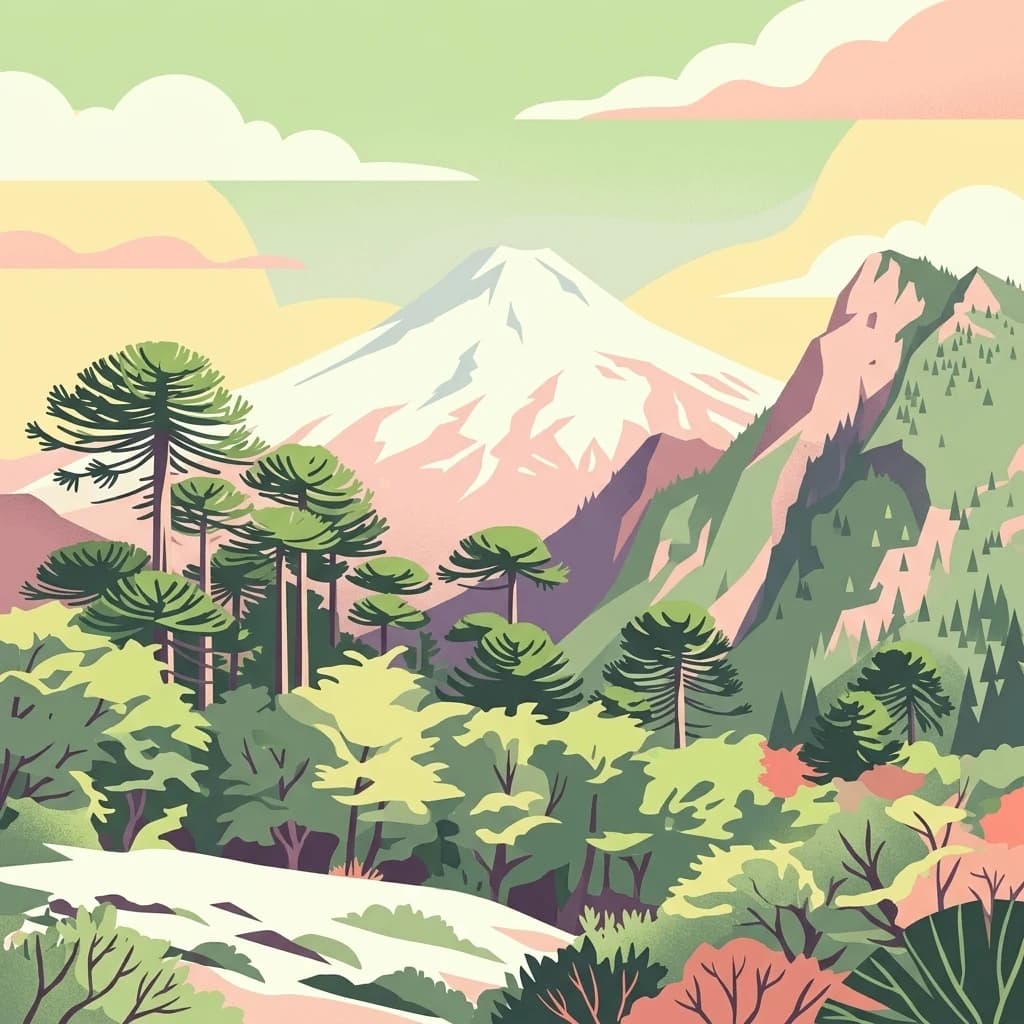
Lanín National Park
Explore the protected area's mapped terrain and glacial lakes.
Lanín National Park, in Neuquén Province, Argentina. Landscapes: mountains, forests, and lakes.
- Area
- 3,790 km²
- Established
- 1937
- IUCN
- II
- Relief
- Mountain
National parkLa Araucanía Region
120 km away#6 closest
South
Villarrica National Park: Chile's Protected Landscape in La Araucanía Region
Mapped boundaries and regional geography exploration
Villarrica National Park represents a crucial protected area within the diverse geography of Chile's La Araucanía Region. This atlas-focused entry provides detailed geographic context and mapped park boundaries, essential for understanding the park's landscape identity. Explore the foundational elements of this national park for structured geographic discovery.
- Area
- 630 km²
- Established
- 1940
- IUCN
- II
- Visitors
- 115.8K annual
National parkNeuquén Province
142 km away#7 closest
Southeast
Laguna Blanca National Park: National Park in Neuquén Province, Patagonia
Mapped protected area and regional landscape context.
Laguna Blanca National Park represents a key protected landscape within the expansive geography of Neuquén Province, located in the Patagonia region of Argentina. This national park entity serves as a critical node for atlas exploration, allowing users to understand its specific protected boundaries and its contribution to the regional protected-area network. Investigate Laguna Blanca National Park to gain insight into its unique geographic setting and its role within the mapped natural areas of Western Argentina.
- Area
- 112.5 km²
- Established
- 1940
- IUCN
- II
- Relief
- Upland
National parkRío Negro Province
211 km away#8 closest
South
Nahuel Huapi National Park
Explore mapped natural terrain and park boundaries within Patagonia.
Nahuel Huapi National Park, in Río Negro Province, Argentina. Landscapes: mountains, hills, and valleys.
- Area
- 7,050 km²
- Established
- 1934
- IUCN
- II
- Relief
- Mountain
MoriAtlas Explorer
Continue exploring Tolhuaca National Park's geographic context and protected landscape
Deepen your understanding of Tolhuaca National Park by continuing to explore its specific mapped boundaries and regional geographic attributes. This detailed view within MoriAtlas provides essential context for appreciating the park's protected landscape identity and its place within the atlas of Chilean natural areas. Investigate the terrain and understand how its protected status shapes its landscape for further geographic discovery.
Browse next
Global natural geography
Explore related park routes
Explore MoriAtlas Global ParksBrowse All MoriAtlas ParksGlobal Park Map DiscoveryMoriAtlas: Browse All CountriesBrowse All MoriAtlas ContinentsNational Park Environment AtlasGrand Canyon National Park AtlasYellowstone National Park AtlasYosemite National Park Atlas and GeographySerengeti National Park AtlasGalápagos National Park Protected LandscapeBanff National Park Geography and AtlasKruger National Park Atlas EntryExplore Uluru-Kata Tjuta National Park GeographyPlitvice Lakes National Park AtlasFiordland National Park Protected LandscapeGreat Smoky Mountains National Park AtlasZion National Park Protected Landscape AtlasAfghanistan National Parks and Protected AreasAlbania National Parks and Protected AreasAlgeria National Parks and Protected AreasAmerican Samoa National Parks and Protected AreasAndorra National Parks and Protected AreasAngola National Parks and Protected AreasAntarctica National Parks and Protected AreasAntigua and Barbuda Park List