Explore an atlas-based catalogue of registered events, epicentre distances, and magnitudes
Historical Earthquake Records and Seismic Activity Near Torres del Paine National Park
This historical collection displays recorded earthquake events associated by geographic proximity to Torres del Paine National Park. Each entry provides data on event dates, detected magnitudes, and focal depths to support understanding of the regional seismic context. These records are aggregated to facilitate geographic discovery of historical activity within the vicinity of the park massif and surrounding Patagonian terrain.
Patagonian wilderness of granite towers, glaciers, and vibrant biodiversity
Torres del Paine National Park
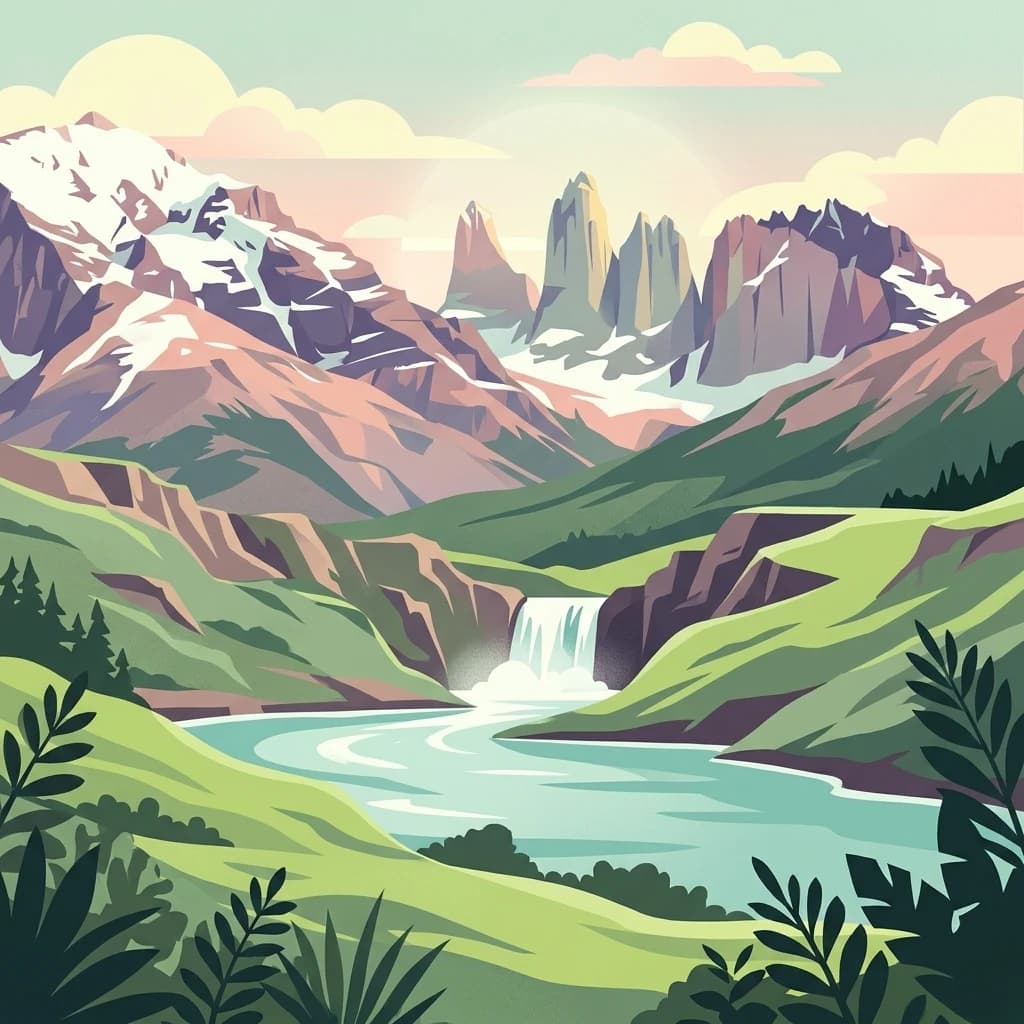
Torres del Paine National Park is a premier protected area in southern Chilean Patagonia, renowned for its dramatic landscape centered on the iconic granite peaks known as the Torres del Paine. These three towering spires rise 2,500 meters above sea level and form one of the most recognizable mountain silhouettes in the world. The park encompasses a remarkable diversity of ecosystems, spanning the transition between Magellanic subpolar forests and the Patagonian steppe, creating a mosaic of habitats that support exceptional biodiversity. Established in 1959 and spanning approximately 181,000 hectares, the park is administered by Chile's National Forest Corporation and was designated a UNESCO Biosphere Reserve in 1978. The area features extensive glacial systems feeding lakes of striking turquoise color, deep valleys carved by ancient glaciers, and a network of rivers originating from the Southern Patagonia Ice Field. Torres del Paine stands as one of Chile's most visited national parks, attracting hikers from around the globe who come to experience its world-renowned trekking routes, including the famous W and Circuit trails.
Explore Torres del Paine National Park records by distance
Examine past earthquake observations near Torres del Paine National Park
Investigate earthquakes around Parque Nacional Torres del Paine, a 1,814.14 km² terrestrial mountain park in Chile with major waters; Event positions are compared with the park and reported with dates, magnitudes, depths, localities, citations, and distances. The search does not assert boundary occurrence or use mountains, glaciers, valleys, lakes, rivers, waterfalls, and forests to diagnose hazard.
Sort by
Magnitude
Location
This page describes catalogued earthquakes associated with the park by epicentre location and distance. It does not establish causation, assess current danger, or predict future earthquakes.
No earthquake records match the current filters
Park atlas
Continue from Torres del Paine National Park earthquake observations
Find more protected destinations beyond Torres del Paine National Park
The collection after Torres del Paine National Park’s earthquake section broadens exploration into other protected landscapes. Appearance here does not mean shared Patagonian granite, glaciers, biosphere recognition, Chilean geography, nearby location, seismic evidence, hazard, or equivalent earthquake coverage; the destinations remain distinct atlas subjects.
National parkAysén del General Carlos Ibáñez del Campo Region
Park boundaries overlap#1 closest
Northwest
Bernardo O'Higgins National Park
Chile's largest protected area: a map of vast ice caps and fjords.
Bernardo O'Higgins National Park, in Aysén del General Carlos Ibáñez del Campo Region, Chile.
National parkMagallanes and Chilean Antártica Region
27 km away#3 closest
Southwest
Kawésqar National Park: A National Park with Distinct Protected Landscape Identity
Explore the mapped geography and protected area boundaries.
Kawésqar National Park is a key national park entity situated within the Magallanes and Chilean Antártica Region, contributing to the protected landscape of southern Chile. This atlas-focused profile details the park's geographic scope and its significance as a designated protected area. It serves as an entry point for understanding the mapped terrain and regional park context, crucial for structured geographic discovery.
Pali-Aike National Park: Chilean Protected Area and Landscape Atlas
Explore the geographic context and park boundaries in Chile.
Examine Pali-Aike National Park as a distinct protected landscape within Chile. This entry offers a detailed atlas perspective, focusing on its mapped boundaries, regional geographic setting, and the specific character of its natural terrain. Understand its significance as a national park and a point of interest for geographic discovery.
Monte León National Park: Patagonia's First Continental Marine Protected Area and Coastal Atlas
Explore its unique sandstone formations and rich marine geography.
Monte León National Park stands as a significant federal protected area along Argentina's Patagonian coast. Known for its dramatic sandstone cliffs, including the iconic Monte Cabeza de León, and extensive Magellanic penguin colonies, this park offers a unique glimpse into coastal ecosystems. Its designation as Argentina's first continental marine park highlights its importance for biodiversity and landscape conservation along the southern Argentine Sea shoreline, providing rich context for atlas exploration.
Perito Moreno National Park: Argentina's Expansive Patagonian Protected Landscape
Explore its mapped terrain and significant protected area geography.
Perito Moreno National Park stands as a cornerstone of Argentinian conservation, safeguarding over 126,000 hectares of striking Patagonian mountain wilderness. This national park protects a rare ecological transition zone, blending wet Andean forests with dry steppe environments across its dramatic amphitheater-like terrain and dual-watershed hydrography. Its mapped boundaries encompass significant natural geography, offering a clear atlas view of protected Patagonian landscapes.
National parkAysén del General Carlos Ibáñez del Campo Region
335 km away#8 closest
North
Laguna San Rafael National Park: Explore its Mapped Boundaries and Patagonian Landscape
A National Park within Aysén del General Carlos Ibáñez del Campo Region.
Laguna San Rafael National Park stands as a key protected area within the vast geography of the Aysén del General Carlos Ibáñez del Campo Region. This entry provides an atlas-focused perspective, detailing the park's geographic significance, mapped natural landscapes, and its role as a vital conservation territory. Understand how this national park fits into the broader context of Patagonia's unique terrain and protected areas.
Continue Exploring Torres del Paine National Park's Protected Landscape Geography
Deepen your understanding of Torres del Paine National Park by examining its specific mapped boundaries, regional setting within the Magallanes Region, and protected landscape characteristics. The MoriAtlas platform supports detailed atlas exploration, allowing for a comprehensive geographic analysis of this significant national park and its unique environmental context.