Mori Atlas logo
Nearby park discovery

Mapping regional biodiversity corridors and protected site clusters in southwestern France

Geographic Distribution of Protected Areas and Natural Landscapes Near Vallée de la Tude

Analyze the spatial relationships of protected areas in the vicinity of Vallée de la Tude. This geographic overview highlights neighboring natural sites within the Nouvelle-Aquitaine region, tracing how river corridors and meadow habitats connect local ecosystems across the surrounding departmental landscapes.

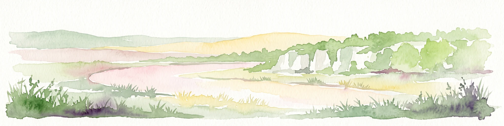
A flat-style digital illustration showing a river flowing through a forested mountain valley with a waterfall in the background under a sunrise sky.

A Natura 2000 river valley in southwestern France, anchored by the European mink and a network of small tributaries.

Vallée de la Tude

Vallée de la Tude is a French Natura 2000 natural site located in the southeastern part of the Charente department, within the Nouvelle-Aquitaine region of southwestern France. It protects a small alluvial landscape along the Tude river and several of its headwater tributaries, where wet meadows, deciduous woodland, and arable farmland interweave to form an important ecological corridor between the Charente and Garonne basins. The site's ecological value lies primarily in its role as a refuge for species that depend on lowland river valleys, including the highly threatened European mink, the European otter, and a wide suite of amphibians, dragonflies, bats, and breeding birds. Designated as a Special Area of Conservation under the European Union Habitats Directive and validated by ministerial order in August 2006, Vallée de la Tude links conservation interests at the European scale to a very local, agricultural river landscape. Despite its modest size, it stands out for the density of protected animal species recorded there and for the way small managed streams sustain wetland habitats in a heavily farmed countryside. The site is spread across sixteen communes, with most of its area concentrated near Montmoreau, Chalais, Boisné-La Tude, and Montboyer. Its elevation runs from the low river terraces near 25 meters up to around 150 meters along the surrounding slopes, capturing both the wet valley floor and the drier edges that frame it.

Location
France
Park type
Protected area
Established
2006
Area
15.6 km²
Highest point
150 m
Vallée de la Tude Protected Area Map
Regional park map

See the ranked park cluster in its geographic setting

Nearby parks around Vallée de la Tude

This regional map shows the same 20 nearby parks ranked below around Vallée de la Tude. Select a ranked marker to highlight that park’s boundary where boundary data is available.
Reference park: Vallée de la TudeRanked nearby parkSelected boundary: Vallée de la Tude20 nearby parks shown
20 nearby parks

Geographic proximity and regional context for neighboring conservation landscapes

Ranked Protected Areas and Surrounding Parks Near Vallée de la Tude

Examine the ranked collection of protected areas situated geographically close to Vallée de la Tude to evaluate surrounding regional park geography. Measured spatial separation and recorded environmental attributes provide structured signals for comparing diverse conservation zones across the surrounding territory.
Nature reserveNouvelle-Aquitaine
3.9 km away#1 closest

Northeast

Vallée de la Nizonne Nature Reserve: Mapped Geography and Protected Wetland Landscapes

A critical river corridor and Natura 2000 conservation zone in Nouvelle-Aquitaine.

Discover the geographic structure of the Vallée de la Nizonne, a protected area shaped by the flow of the Nizonne and Lizonne rivers. This landscape mosaic features peatlands, wet meadows, and alluvial forests that serve as a refuge for rare species. Gain insight into the regional terrain and conservation boundaries that define this important French wetland corridor.

Area
33.91 km²
Established
2016
Relief
Upland
Climate
Temperate
Nature reserveCharente
31 km away#2 closest

Northeast

Val de Tardoire Nature Reserve: Geography and Protected Area Mapping in Charente

A detailed river valley landscape in Nouvelle-Aquitaine, France.

This protected area centers on the Tardoire river valley, featuring a high density of wet meadows, broadleaf forests, and rocky escarpments. The site represents a crucial node for European-interest habitats and diverse fauna, offering an in-depth look at the natural terrain and ecological composition of the Charente department.

Area
31.49 km²
Established
1999
Relief
Upland
Climate
Temperate
Nature reserveNouvelle-Aquitaine
About 35 km away#3 closest

Northeast

Réserve naturelle régionale de la vallée de la Renaudie Protected Landscape and Map Atlas

A geological crossroads in the heart of Nouvelle-Aquitaine.

Trace the 6 kilometer stretch of the Réserve naturelle régionale de la vallée de la Renaudie. This protected area showcases an unusual geological interface between limestone and granite, creating a compact mosaic of riparian woodland, dry rocky cliffs, and meadows that support significant regional biodiversity.

Area
0.73 km²
Established
2012
IUCN
IV
Relief
Mixed relief
Nature reserveNouvelle-Aquitaine
46 km away#4 closest

Northwest

Vallée de l'Antenne: A Protected River Valley and Alluvial Landscape in Nouvelle-Aquitaine

Mapping riparian ecosystems and rare wetland habitats

Trace the course of the Antenne river as it meanders through a finely textured mosaic of ash and alder forests, poplar plantations, and floodplains. As a designated Natura 2000 site, this nature reserve acts as a critical refuge for biodiversity in western France, offering a textbook example of a low-energy river system that descends gently through the landscape of the Charente departments.

Area
12.08 km²
Established
1999
Relief
Lowland
Climate
Mediterranean
Wildlife reserveNouvelle-Aquitaine
About 50 km away#5 closest

West

Terres d'oiseaux Wildlife Reserve: Protected Estuarine Landscape in Nouvelle-Aquitaine

Migratory bird habitat and Gironde estuary geography

Terres d'oiseaux is a significant wildlife reserve positioned within the Blayais marshes of Nouvelle-Aquitaine. The site encompasses a diverse mosaic of estuarine wetlands, including reedbeds and open water, providing critical stopover habitat for migratory birds along the Atlantic flyway. Its geography represents a blend of tidal interaction and controlled natural management, essential for regional avian monitoring and ecological studies.

Area
1.2 km²
Established
2010
IUCN
IV
Relief
Lowland
Nature reserveNouvelle-Aquitaine
About 68 km away#6 closest

Northeast

Réserve naturelle régionale du réseau de landes atlantiques du Parc naturel régional Périgord-Limousin

A networked regional nature reserve in Nouvelle-Aquitaine.

This protected area serves as a critical network of Atlantic heathland sites embedded within the larger Périgord-Limousin Regional Natural Park. By conserving these scattered clearings of acidic soil and low vegetation, the reserve maintains a distinct biogeographic feature far from the French coast, offering a clear view into how regional authorities manage fragmented open habitats in the Haute-Vienne.

Area
0.409 km²
Established
2015
IUCN
IV
Scope
Terrestrial
Nature reserveNouvelle-Aquitaine
About 76 km away#7 closest

Southwest

Réserve naturelle nationale géologique de Saucats et la Brède: Geological Nature Reserve Atlas

Protected strata and Miocene fossil landscapes in Nouvelle-Aquitaine

This protected area serves as a primary European reference site for Cenozoic geology. It features distinct Miocene marine sand outcrops, fossil-rich faluns, and stream-cut sections that reveal the complex history of the Aquitaine Basin across multiple geographic sectors.

Area
0.755 km²
Established
1982
IUCN
III
Nature reserveNouvelle-Aquitaine
About 89 km away#8 closest

Northwest

Réserve naturelle régionale de la Massonne: Geographic Atlas and Protected Area Map

Mapped ecosystems within the Nouvelle-Aquitaine marshlands

Réserve naturelle régionale de la Massonne serves as a significant ecological corridor in western France, defined by its abrupt transition from coastal Brouage marshes to acidic heath. This atlas entry provides essential data on the reserve boundaries, mapped terrain types, and the structural diversity of its protected wetlands and shrublands, highlighting its role as a sanctuary for diverse nocturnal fauna.

Area
2.023 km²
Established
1997
IUCN
IV
Relief
Lowland
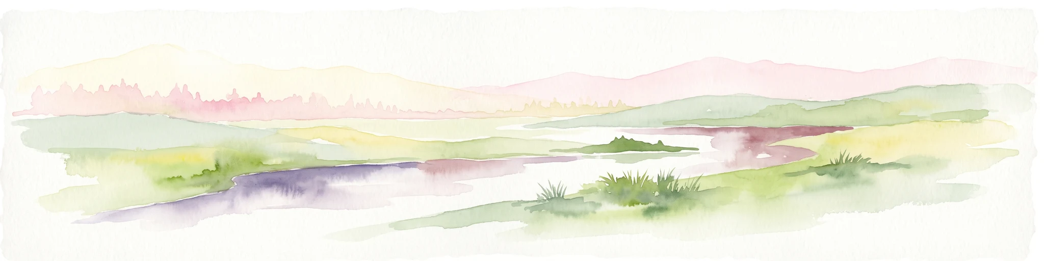
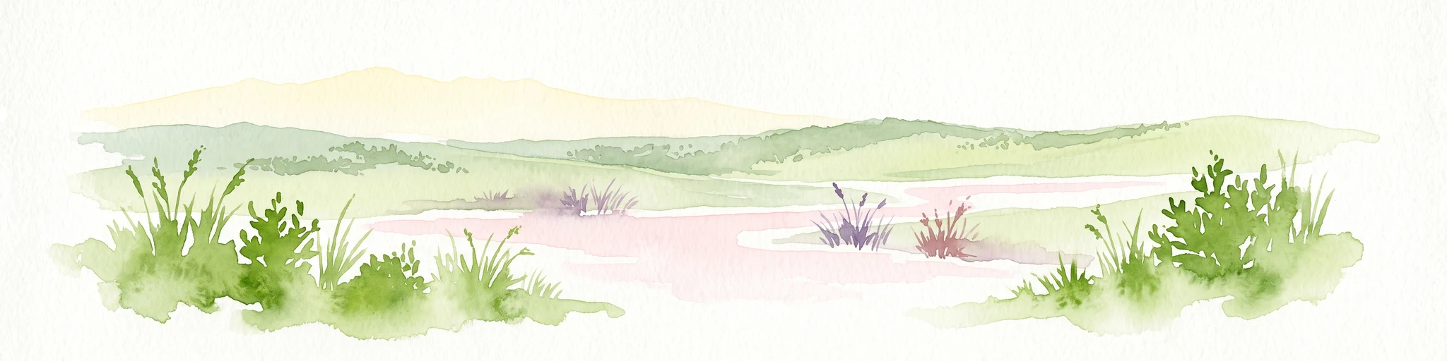
A soft watercolor painting of a wide, gently rolling landscape with green fields, forested hills in the distance, and native vegetation in the foreground.
Nature reserveHaute-Vienne
About 96 km away#9 closest

East

Lande de la Flotte et du Cluzeau: Geological Landscapes of Haute-Vienne, France

Nature reserve featuring rare serpentinite heathland habitats

Lande de la Flotte et du Cluzeau preserves a rare type of serpentine heathland on the Limousin plateau. By protecting stony outcrops that contrast with the local forest and farmland, this reserve maintains a significant botanical environment within Haute-Vienne, reflecting the complex metamorphic history of the region.

Area
132 km²
Established
1993
IUCN
IV
Nature reserveNouvelle-Aquitaine
About 108 km away#10 closest

Northwest

Réserve naturelle régionale du marais de Galuchet et des boucles de la Sèvre Niortaise Geography and Map

Urban protected wetland in the Nouvelle-Aquitaine region of France

This urban nature reserve protects 151 hectares of diverse wetland habitats along the Sèvre Niortaise. The landscape is defined by river meanders, wet meadows, and riparian corridors, making it a critical site for regional biodiversity and urban ecological connectivity in the Deux-Sèvres department.

Area
1.51 km²
Established
2025
IUCN
IV
Relief
Lowland
A soft watercolor painting of a natural landscape showing rolling green hills, a distant purple mountain range, and a calm body of water reflecting the light, with green foliage on the right bank.
Nature reserveNouvelle-Aquitaine
About 110 km away#11 closest

Northeast

Réserve naturelle régionale des Sauvages: Protected Landscape and Regional Geography

Mapped Habitat Mosaic in the Haute-Vienne of Nouvelle-Aquitaine

Discover the geographic composition of Réserve naturelle régionale des Sauvages, a protected nature reserve in France that integrates diverse habitats including heather-dominated moorland, peatland, beech forest, and historical ponds. This site serves as a key component of the regional conservation landscape within the Haute-Vienne.

Area
0.826 km²
Established
2015
IUCN
IV
Relief
Upland
Nature reserveGironde
About 112 km away#12 closest

Southwest

Réservoirs de Piraillan Nature Reserve: Mapping the Coastal Ecology of the Cap Ferret Peninsula

A protected mosaic of saltwater basins and pine-forested islets in Gironde.

Explore the structured geography of Réservoirs de Piraillan, a forty-hectare classified natural reserve situated on the Cap Ferret peninsula in southwestern France. This site offers a rare contrast between historical fish reservoirs and dense maritime pine forest, providing a protected habitat for diverse bird and insect populations adjacent to the Bassin d'Arcachon. Understand the interplay between these saltwater pools and the wider coastal terrain of the Gironde department through detailed mapping and landscape data.

Area
0.4 km²
Established
1943
Relief
Lowland
Climate
Mediterranean
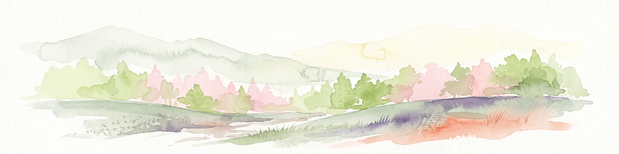
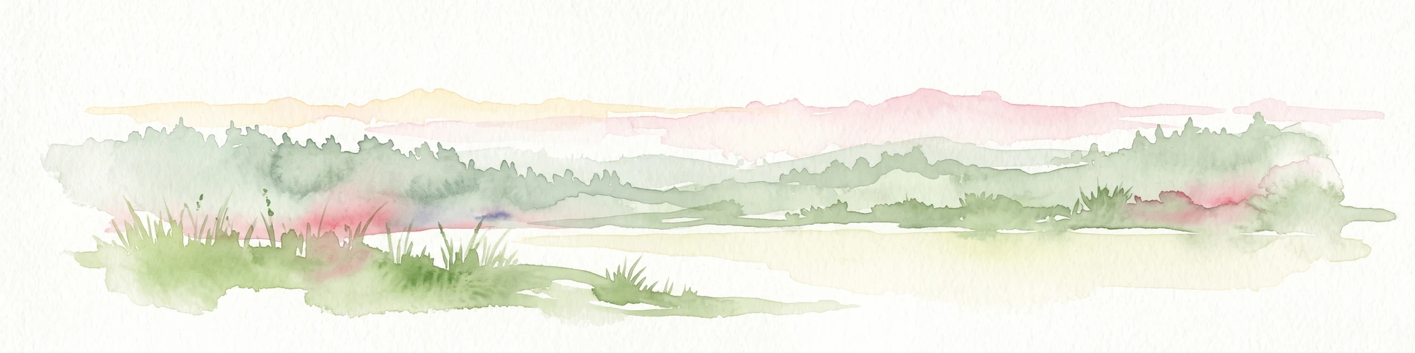
A soft, horizontal watercolor painting depicting a gentle, rolling landscape with green hills, sparse trees, and a hazy background in pale green and pink tones.
Regional parkOccitanie
120 km away#13 closest

Southeast

Parc naturel régional des Causses du Quercy: Protected Karst Plateaus and River Valleys

Geographic atlas of the Causses du Quercy karst landscapes

An essential look at the geography of Parc naturel régional des Causses du Quercy. This protected area in Occitanie features an expansive network of limestone plateaus and carved river gorges. Learn about the karst terrain, sedimentary history, and the natural boundaries that define this French regional park and internationally recognized geopark.

Area
1,855 km²
Established
1999
IUCN
V
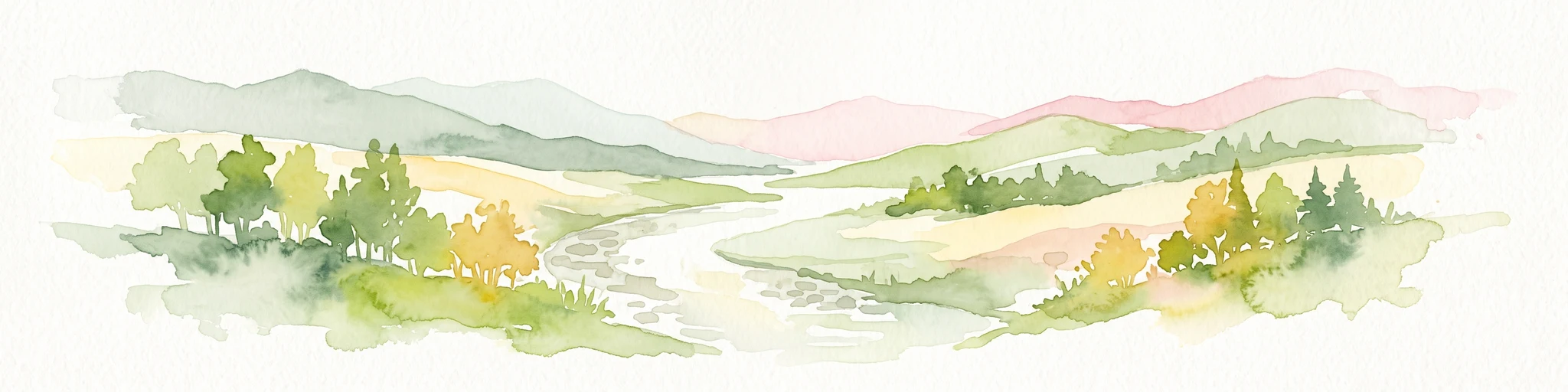
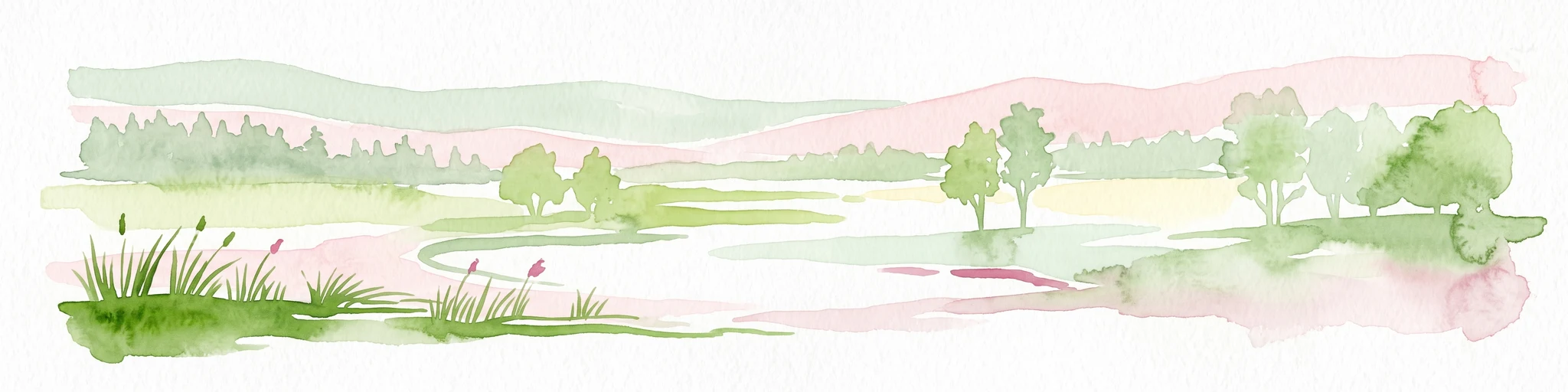
A soft, painterly watercolor illustration of a river landscape with lush green trees on the banks and rolling hills in the background.
Nature reserveFrance
About 121 km away#14 closest

South

Réserve naturelle nationale de la frayère d'Alose: Garonne River Protected Area Mapping

Analyzing aquatic terrain and migratory fish spawning grounds in France

Located in the Lot-et-Garonne department, the Réserve naturelle nationale de la frayère d'Alose comprises a unique, ecologically defined segment of the Garonne River. The reserve manages specific riverbed substrates and current patterns to maintain critical habitats for endangered anadromous species. Its role extends beyond simple protection, acting as a vital reference area for ecological research into the health of river-based migratory fish corridors across the region.

Area
0.478 km²
Established
1981
Relief
Lowland
Climate
Temperate
Nature reserveDeux-Sèvres
About 123 km away#15 closest

North

Réserve naturelle régionale du bocage des Antonins: Protected Landscape and Geographic Atlas

Detailed ecological mapping of the Gâtine armoricaine countryside

The Réserve naturelle régionale du bocage des Antonins occupies a distinct space in the Deux-Sèvres department. This protected area serves as a repository for the traditional bocage countryside, featuring a complex arrangement of pollarded trees, wet meadows, and the historic étang des Forges. The site offers a significant look at the structural history of rural western France through its preserved environmental matrix.

Area
0.226 km²
Established
2015
IUCN
IV
Relief
Lowland
Protected areaLot
About 125 km away#16 closest

Southeast

Vallée de la Dordogne quercynoise: Regional Protected Area and River Valley Geography

A detailed geographic study of limestone slopes and riparian corridors in the Lot department.

Spanning 5,567 hectares across the Lot department, this protected area preserves the ecological integrity of the Dordogne river. The region is marked by its transition from narrow, hill-enclosed upstream stretches to broader floodplain zones, creating a complex habitat mosaic of alluvial meadows, travertine springs, and rocky chasmophytic slopes that support important European biodiversity.

Area
55.67 km²
Established
2007
Relief
Upland
Climate
Temperate
Nature reservePays de la Loire
About 135 km away#17 closest

Northwest

Réserve naturelle régionale du marais communal du Poiré-sur-Velluire Regional Nature Reserve

Mapping wetland biodiversity in the Pays de la Loire region

Spanning over 240 hectares of reclaimed marshland, this protected area stands as a unique ecological stronghold in France. The reserve demonstrates how traditional collective land management sustains a rich mosaic of freshwater and brackish habitats, supporting more than 177 bird species and heritage livestock breeds in an expansive, open terrain.

Area
2.41 km²
Established
2012
IUCN
IV
Scope
Terrestrial
A soft watercolor painting of a calm pond surrounded by green grasses, shrubs, and rolling hills in the background.
Nature reserveNouvelle-Aquitaine
About 139 km away#18 closest

North

Réserve naturelle nationale du Pinail: Protected Pond and Heathland Mosaic in Nouvelle-Aquitaine

Mapped geography of a unique French nature reserve

Located in the Nouvelle-Aquitaine region, Réserve naturelle nationale du Pinail preserves a rare cultural-ecological landscape. The site features an extraordinary concentration of three thousand small acidic ponds created by medieval millstone quarrying, now surrounded by protected heather and dwarf gorse heathland. This structured overview highlights the terrain, habitat connectivity, and regional importance of this internationally recognized Ramsar wetland site.

Area
1.35 km²
Established
1980
IUCN
IV
Relief
Lowland
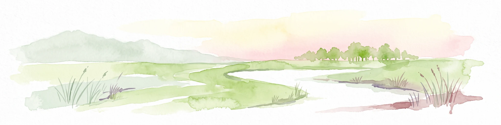
A soft watercolor painting of a serene natural landscape with rolling hills, a calm body of water, and forested ridges under a pastel sky.
Nature reserveFrance
About 141 km away#19 closest

North

Réserve naturelle régionale du site de Saint-Cyr: Wetland Geography and Protected Landscapes

Mapping a 39-hectare wetland refuge along the Clain river in France.

Located in the Vienne department, this regional nature reserve provides a critical link for waterbirds moving between the Loire valley and the Atlantic coast. The landscape features a mosaic of ponds, small islands, and alluvial forests that highlight the successful transition from former industrial quarry land into a biodiverse wetland ecosystem.

Nature reserveOccitanie
About 141 km away#20 closest

Southeast

Réserve naturelle régionale du marais de Bonnefont: Protected Wetland and Regional Atlas

Exploring the largest reedbed in the Lot department.

Situated in the heart of the Causses du Quercy, this protected nature reserve shelters the most significant reedbed in the Lot department of Occitanie. The site serves as a vital hydrological marker, demonstrating a rare transition between wetland habitats and the characteristic dry limestone plateaus of the region. This overview examines the geography, terrain, and structural importance of the reserve within the broader French protected lands network.

Area
0.42 km²
Established
2011
IUCN
IV
Relief
Lowland
Distance methodology

Geographic measurements, not driving distances

How nearby park distances are calculated

Distances use park boundaries whenever the available geometry allows it. When one or both boundaries are missing, the mapped park locations provide a clearly labelled estimate. Every value represents straight-line geographic separation and does not use roads or routing.

Boundary distance

Calculated between the nearest points of both park boundaries.

Location-to-boundary estimate

Estimated from one mapped park location to the nearest boundary of the other park.

Mapped-location estimate

Estimated between the mapped locations of both parks.

MoriAtlas Explorer

Analyze the Protected Landscape and Geography of the Vallée de la Tude

Trace the boundaries of the Vallée de la Tude and understand its role as a key freshwater corridor in southwestern France. Use our structured mapping data to examine how these small tributaries sustain a diverse mosaic of wet meadows and woodland habitats within the Nouvelle-Aquitaine region.