Mori Atlas logo
Park earthquake history

Explore recorded seismic events, epicentre distances, and magnitude logs near this protected area.

Historical Earthquake Catalogue and Documented Seismic Activity for Vashlovani National Park

This archival collection compiles recorded seismic activity historically associated with the geography of Vashlovani National Park. Each entry provides event details, including magnitude and proximity to the Iori Plateau terrain, derived from USGS datasets. These records offer a factual look at seismic patterns in the region without indicating current hazard or future probability.

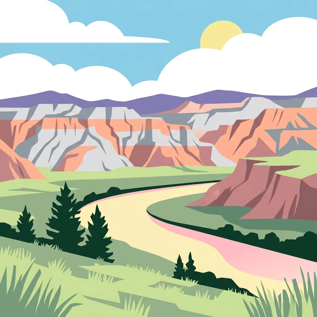
Illustration of a winding river flowing through a canyon with layered rock formations and grassy fields under a bright sky

Georgia's lowland wilderness of pistachio forests, badlands, and canyon cliffs

Vashlovani National Park

Vashlovani National Park is a protected area in eastern Georgia, situated in the Dedoplistsqaro Municipality of the Kakheti region. Established initially as a state reserve in 1935 and expanded into a national park in 2003, it protects one of Georgia's most distinctive lowland ecosystems. The park lies at remarkably low elevation—between 50 and 150 meters above sea level—on the Iori Plateau in the country's southeastern corner. This semi-arid landscape features dramatic badland terrain, desert and semi-desert steppe vegetation, and patches of arid deciduous forest, making it ecologically unique within Georgia's otherwise mountainous protected area network. The park's eastern boundary follows the Alazani River, which also marks the international border with Azerbaijan. Vashlovani represents a rare example of a protected area preserving lowland desert and forest habitats in the Caucasus region.

Location
Georgia
Park type
National park
Established
1935
Area
442.5 km²
Vashlovani National Park Protected Landscape

Set source-reported locations against lowland forest, valleys, cliffs, rivers and wetlands

Explore earthquake observations near Vashlovani National Park

Investigate earthquake records around Vashlovani National Park, a 442.51 km² terrestrial lowland park with major water across forest, valleys, cliffs, rivers, wetlands and grassland; compare reported date, magnitude, depth, locality and park separation. Geographic association does not prove boundary occurrence, landscape impacts, current danger, causation or future events.

Sort by
Magnitude
Location

This page describes catalogued earthquakes associated with the park by epicentre location and distance. It does not establish causation, assess current danger, or predict future earthquakes.

No earthquake records match the current filters

Park atlas

Continue beyond Vashlovani National Park earthquake history

Explore other parks and protected areas after Vashlovani National Park

Continue from Vashlovani National Park's earthquake data into a wider, independently chosen collection of protected destinations; the 442.51 km² source park is terrestrial lowland in Georgia with major waters, forests, valleys, cliffs, rivers, wetlands, grassland, and steppe. Those attributes do not transfer to the onward cards or imply common national-park status, seismic patterns, nearness, or danger.
Nature reserveZagatala District
About 50 km away#1 closest

North

Zagatala State Reserve: Protected Mountain Geography and Forested River Valleys in Northern Azerbaijan

Ancient broadleaf woodlands within the Greater Caucasus mountain range.

Zagatala State Reserve protects a critical mountainous region in northern Azerbaijan, known for its extensive oak and beech forests, rugged karst formations, and dramatic river-carved topography. The area supports rare Caucasian fauna and offers an intact look at the natural landscape transitions from forested foothills to high mountain meadows.

Established
1929
Nature reserveAgdash District
About 75 km away#2 closest

Southeast

Turian-Chay State Reserve: Protected Foothill and Arid Woodland Landscape in Agdash District

Essential nature reserve located within the Central Aran foothills of Azerbaijan.

Turian-Chay State Reserve represents a critical conservation area within the Agdash District, defined by its sparse juniper and pistachio arid forests. The reserve functions as a protective barrier against soil erosion while providing year-round sanctuary for wildlife across the Boz-Dag Ridge. Its terrain offers a condensed cross-section of semi-desert plateaus and low-mountain valleys that define this specific climatic region of the Caucasus.

Area
225 km²
Established
1958
Relief
Mountain
Climate
Subtropical
Watercolor illustration of a lake surrounded by greenery with mountains in the background
National parkAzerbaijan
About 78 km away#3 closest

South

Göygöl National Park: Iconic Alpine Lakes and Protected Caucasus Forest Landscape

Explore Azerbaijan's most visited national park and its rich geographic context.

Göygöl National Park is a key protected area in Azerbaijan, renowned for the crystal-clear alpine Lake Göygöl and its surrounding dense forests within the Lesser Caucasus mountains. This national park showcases over 420 plant species, significant wildlife populations, and dramatic mountainous terrain, making it a prime destination for understanding regional landscape diversity and protected land value. Use MoriAtlas to explore its mapped boundaries and connect it to the broader geographic context of Azerbaijan.

Area
127.55 km²
Established
2008
IUCN
II
Relief
Mountain
National parkTavush Province
111 km away#4 closest

Southwest

Dilijan National Park: Mapped Protected Landscape and Forested Terrain in Tavush Province

Explore ancient deciduous forests and medieval sites within this protected area.

Dilijan National Park offers a unique atlas perspective on Armenia's natural and cultural heritage. This protected landscape in Tavush Province is dominated by vast, ancient deciduous forests, including rare yew groves, making it a vital conservation area. Its mountainous terrain, carved by rivers and dotted with medieval monasteries like Haghartsin and Goshavank, provides a rich context for geographic discovery. Users can explore the park's mapped boundaries and understand its significance as a preserved woodland ecosystem within the Caucasus region through its detailed geographic information.

Area
240 km²
Established
2002
IUCN
II
Relief
Mixed relief
National parkGegharkunik Province
113 km away#5 closest

Southwest

Sevan National Park: High-Altitude Lake and Protected Landscape in Gegharkunik

Explore map context, park boundaries, and regional geography.

Sevan National Park is a vital protected area located in Armenia's Gegharkunik Province, primarily safeguarding the remarkable high-altitude Lake Sevan. Established to protect this significant freshwater ecosystem, the park encompasses diverse surrounding landscapes including wetlands, forests, and steppes. Users exploring this canonical park detail page can delve into its geographic setting within the Armenian highlands, understand its importance as a protected landscape, and access structured data relevant to its unique natural environment. This MoriAtlas entry offers a focused lens on the park's conservation status and its contribution to regional geography.

Area
342 km²
Established
1978
IUCN
II
Relief
Highland
Watercolor illustration of a landscape with mountains, a river, trees, and grassy fields
National parkMtskheta Municipality
About 131 km away#6 closest

Northwest

Tbilisi National Park: Oldest Protected Landscape in Mtskheta Municipality

Explore Georgia's oldest national park and its mapped forest terrain.

Tbilisi National Park represents Georgia's oldest protected area, nestled in the Saguramo Range within Mtskheta Municipality. This page provides an atlas-focused view of its geographic features, including mountainous terrain and deciduous forest ecosystems. Users can explore the park's mapped boundaries and understand its significance as a crucial natural landscape close to Tbilisi, contributing to the region's protected areas network.

Area
380.02 km²
Established
1973
IUCN
II
Relief
Highland
Watercolor painting of layered mountains with green, yellow, and pink hues.
National parkAzerbaijan
About 134 km away#7 closest

East

Shahdag National Park: Azerbaijan's Largest National Park and Highest Mountain Landscape

Explore the Greater Caucasus protected area and its unique ecosystems.

Shahdag National Park is the largest protected area in Azerbaijan, encompassing a significant portion of the Greater Caucasus mountain range. This national park is renowned for its dramatic elevation changes, creating diverse ecosystems that transition from dense, old-growth montane forests to high-alpine meadows and rugged, rocky summits. The park's landscape is defined by its towering peaks, including Mount Bazardüzü, the nation's highest point, and provides critical habitat for endemic species like the East Caucasian tur. Use this page to begin your atlas-based exploration of Shahdag National Park's protected geography and its distinctive natural terrain.

Area
1,305.08 km²
Established
2006
IUCN
II
Relief
Mountain
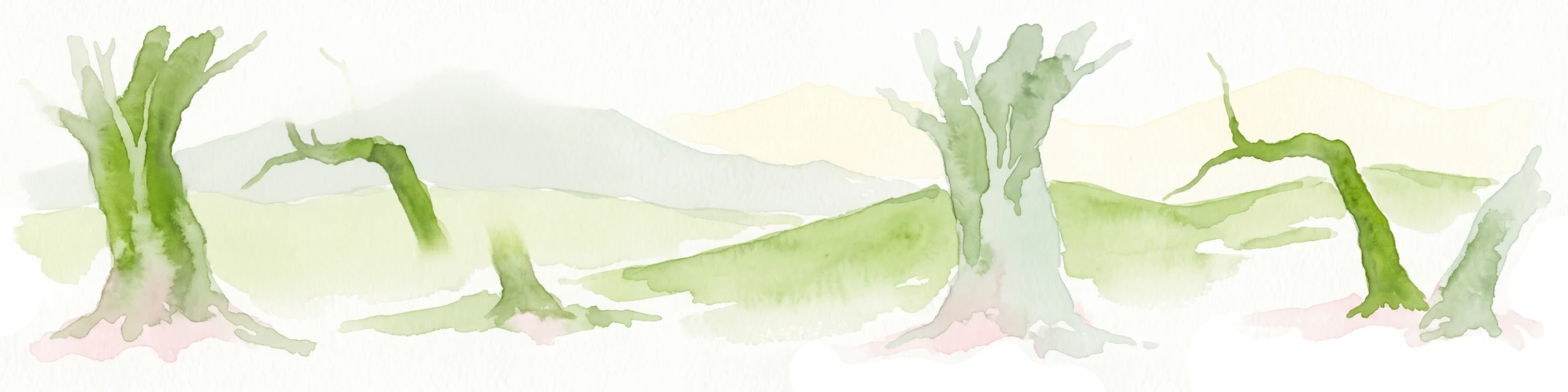
Watercolor painting of a mountainous landscape with green hills, valleys, and distant mountains under a pale sky
National parkGeorgia
About 142 km away#8 closest

Northwest

Tusheti National Park National Park: Geographic Exploration of Caucasus Protected Landscapes

Mapped protected area boundaries and alpine terrain in Georgia.

Tusheti National Park offers a deep dive into the rugged geography of the Greater Caucasus. This national park, situated in a remote corner of Georgia, protects a dramatic landscape characterized by high mountain ridges, glacial valleys, and diverse ecosystems. The park's mapped boundaries encompass significant alpine terrain, providing essential habitat and serving as a critical area for understanding regional protected land distribution and landscape context. Explore the unique geographic identity of Tusheti National Park.

Area
1,276.43 km²
Established
2003
IUCN
II
Relief
Mountain
MoriAtlas Explorer

Continue Exploring Vashlovani National Park's Geographic and Landscape Context

Delve deeper into the protected geography of Vashlovani National Park. Understand its unique semi-arid terrain, mapped boundaries, and its place within the broader atlas of Caucasus protected areas. MoriAtlas helps you navigate the specific landscape characteristics and regional ecological significance that define this exceptional national park.