
Streams
Park geography
Analyzing the terrain, elevation gradients, and physical landscapes of this protected region.
Comprehensive Geographic Profile and Mapped Boundaries of Virunga National Park
Examine the technical geographic footprint of Virunga National Park, spanning 7800 square kilometers across the Democratic Republic of the Congo. This detailed profile documents the recorded boundary dimensions, extreme elevation variances from 680 to 5109 meters, and the diverse mosaic of volcanic, forest, and riverine landscapes within the protected area.
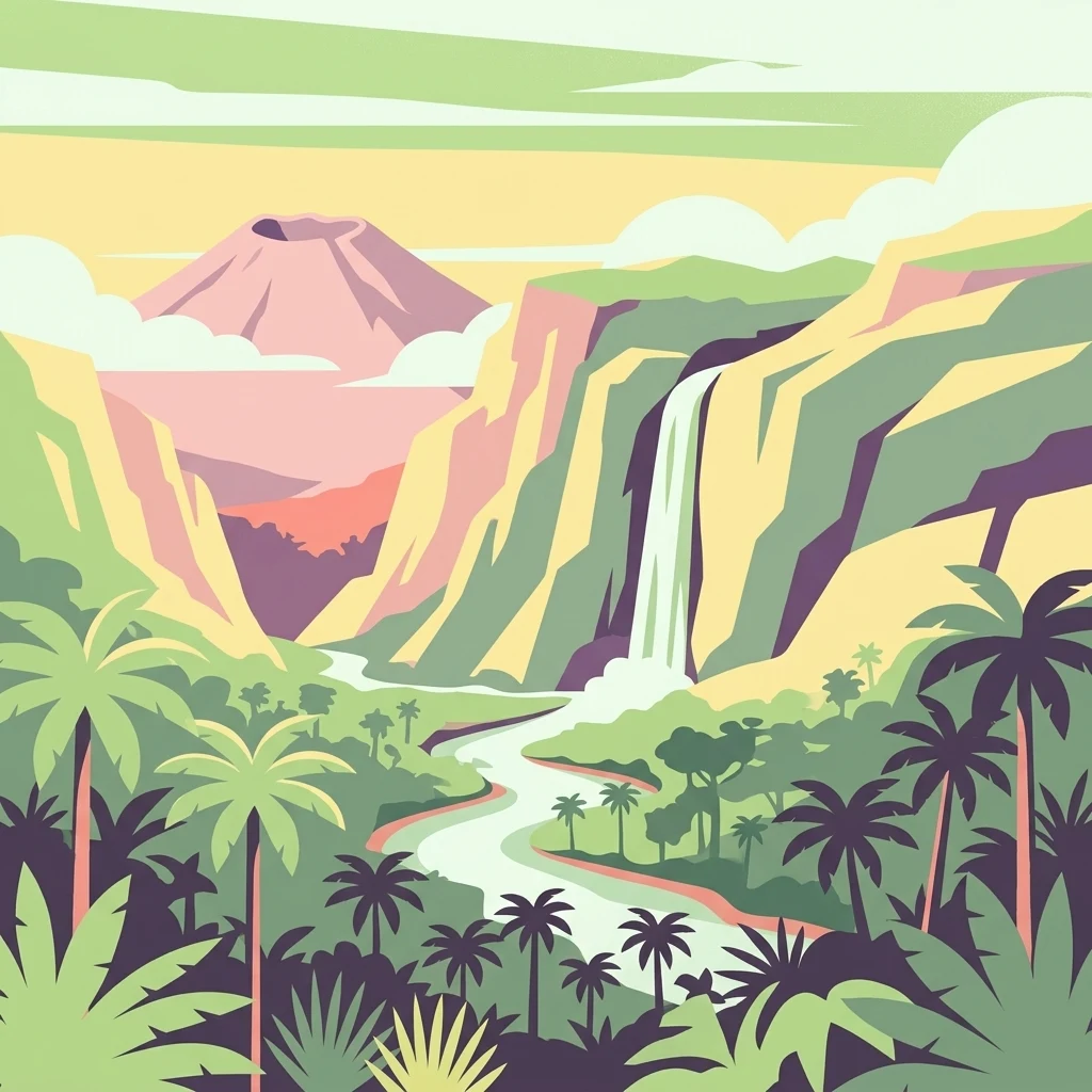
Africa's oldest national park protecting mountain gorillas and active volcanoes in the Albertine Rift
Virunga National Park
Virunga National Park is a 7,800-square-kilometer protected area in the Albertine Rift Valley of the Democratic Republic of Congo, bordering Uganda and Rwanda. Established in April 1925 as the Congo's first national park, it is the oldest national park on the African continent and holds exceptional ecological significance. The park encompasses an extraordinary range of ecosystems, from lowland wetlands and savanna at 680 meters elevation to glacial peaks exceeding 5,000 meters in the Rwenzori Mountains. Its southern sector contains two of Africa's most active volcanoes, Nyiragongo and Nyamuragora, which have dramatically shaped the landscape and habitats over millennia. Virunga protects more than 3,000 recorded faunal and floral species, including over 300 species endemic to the Albertine Rift. The park is most renowned for its population of mountain gorillas, one of the world's most endangered primates, as well as golden monkeys and a remarkable diversity of Albertine Rift endemic birds. In 1979, Virunga was designated a UNESCO World Heritage Site and has been listed as in Danger since 1994 due to civil unrest and regional instability.
- Location
- Democratic Republic of the Congo
- Park type
- National park
- Established
- 1925
- Area
- 7,800 km²
Location overview
Exploring administrative bounds and transboundary regional connections
Geographic Positioning and Regional Context of Virunga National Park
Virunga National Park is located within the North Kivu region of the Democratic Republic of the Congo. Regional records document a transboundary designation that highlights its shared international geography.
- Countries
- Democratic Republic of the Congo
- Regions
- North Kivu
- Primary location
- Democratic Republic of the Congo
- Geographic setting
- Transboundary
Boundary and coordinates
Interactive boundary geometry and calculated spatial metrics
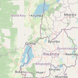
Virunga National Park Boundary Map and Spatial Extent
Mapped park geometry provides spatial context for the protected area and its surrounding terrain. Recorded boundary metrics outline the total area, coordinate limits, and geographic span.
- Boundary area
- 7,810.4 km²
- Boundary perimeter
- 1,189.1 km
- Northernmost point
- 0.9343° N
- Southernmost point
- 1.6492° S
- Easternmost point
- 30.004° E
- Westernmost point
- 29.0264° E
- Geographic centre
- 0.3991° S, 29.5029° E
- North–south span
- 285.7 km
- East–west span
- 108.8 km
Elevation and terrain
Track recorded vertical metrics and structural natural features across the park.
Virunga National Park Elevation Range and Mountain Terrain Geography
Recorded park elevations span from six hundred eighty to five thousand one hundred nine meters across mountain terrain. Mapped natural feature cards detail associated glaciers, volcanoes, rivers, and lakes located within.
- Minimum elevation
- 680 m
- Maximum elevation
- 5,109 m
Selected named natural features
Streams
Muahaleka
Streams
Luusilubi
Forests
Semliki
Glaciers
East Stanley Glacier
Peaks
Umberto
4,798 m
Environmental setting
Interpreting tropical relief, forest cover, and habitat types across protected terrain
Virunga National Park Environmental Classification and Physical Setting
Recorded classifications group volcanic relief, major water bodies, and forest cover into interpretive categories for the terrain. Linked records connect these physical settings to broader atlas destinations where available.
- Relief
- Mountain
- Climate
- Tropical
- Water
- Major water bodies
- Forest cover
- Mostly forested
- Seasonality
- Year-round
Landscape features
Mountains · Volcano · Lakes · Rivers · Forest · Wetland · Grassland
Habitat types
Temperate broadleaf forest · Montane forest · Riverine habitat · Wetland · Grassland · Savanna
Park atlas
Compare other essential protected areas and their regional geography, mapping diverse conservation landscapes surrounding Virunga National Park.
Explore National Parks and Protected Areas Near Virunga National Park, Tracing Albertine Rift Geography
After exploring Virunga National Park, browse additional national parks and protected areas within its vicinity and the broader Albertine Rift Valley, including key transboundary conservation landscapes. Comparing these park entities provides valuable geographic context for the region's diverse ecosystems, unique volcanic terrain, and critical mountain gorilla habitats.
National parkRwanda
About 1.3 km away#1 closest
Southeast

Volcanoes National Park: Rwanda's Protected Volcanic Landscape and Regional Geography
Mapped park boundaries and East African geographic context.
Delve into Volcanoes National Park, a crucial protected area within Rwanda's northwest. This page offers detailed insight into its geography, highlighting the volcanic terrain and mapped boundaries that define this important national park. Understand its placement within the Virunga Mountains and its contribution to the natural landscape of East Africa, providing a foundation for atlas-based exploration of protected lands.
- Area
- 160 km²
- Established
- 1925
- IUCN
- II
- Relief
- Mountain
National parkRwanda
About 1.3 km away#2 closest
Southeast
Volcans National Park: Explore its Protected Landscape and Geographic Identity
Mapped boundaries and regional natural terrain.
Volcans National Park represents a vital national park entity, offering a distinct protected landscape for geographic study. Its mapped boundaries and natural terrain provide crucial context for understanding regional geography and the broader atlas of protected areas. This page serves as a dedicated point for exploring the park's specific contribution to natural landscape discovery, focusing on its geographic character and protected status.
- Area
- 160 km²
- Established
- 1925
- Relief
- Mountain
- Climate
- Temperate
National parkKisoro District
About 4.8 km away#3 closest
Southeast

Mgahinga Gorilla National Park: A Geographic Study of Virunga Mountain Landscapes
Exploring protected boundaries and volcanic terrain in Kisoro District.
Mgahinga Gorilla National Park covers an essential range of montane forest and alpine zones across three dormant volcanoes in the Kisoro District of Uganda. This protected area functions as a key element of the broader Virunga mountain ecosystem, providing specialized habitats for endangered primate populations and endemic bird species. The dramatic vertical relief from bamboo forests to summit peaks defines this critical segment of the Albertine Rift conservation network.
- Area
- 33.9 km²
- Established
- 1991
- IUCN
- II
- Relief
- Mountain
National parkUganda
About 5.6 km away#4 closest
Northeast
Rwenzori Mountains National Park: A Study of Glacial Terrain and Afro-alpine Ecosystems
Explore the mountainous geography of Uganda and its protected high-altitude landscapes.
Defined by massive massifs and retreating glaciers, Rwenzori Mountains National Park features a rare vertical landscape that anchors the geography of western Uganda. Trace the boundaries of this protected area to understand its unique role in supporting biodiversity across distinct vegetation zones, from lowland montane forests to snow-capped summits.
- Area
- 996 km²
- Established
- 1991
- IUCN
- VI
- Relief
- Mountain
National parkUganda
About 5.9 km away#5 closest
Northeast
Rwenzori Mountains National Park: Alpine Geography and Protected Equatorial Mountain Landscapes
Mapped terrain, glacial landscapes, and high altitude ecosystems in southwestern Uganda.
Rwenzori Mountains National Park protects a spectacular high altitude environment rising abruptly from the African rift valley. The park contains Africa's third highest summit, Margherita Peak, and features a unique array of glacial environments, waterfalls, and lakes. Its five distinct vegetation zones host significant biodiversity and endemic species within a critical transfrontier conservation complex.
- Area
- 998 km²
- Established
- 1991
- IUCN
- II
- Relief
- Mountain
National parkUganda
About 6.8 km away#6 closest
Northeast
Semuliki National Park: Protected Lowland Rainforest Geography and Atlas Data
A mapped tropical valley wilderness in western Uganda
Semuliki National Park stands as a significant protected lowland rainforest in Uganda, characterized by a flat, humid valley floor and dense forest corridors along the Semuliki River. This area serves as a rare example of Central African ecological communities preserved within an East African landscape, offering extensive data on its unique vegetation patterns and riparian zones.
National parkBundibugyo District
About 6.8 km away#7 closest
Northeast
Semuliki National Park: Protected Lowland Forest and Geothermal Landscapes in Bundibugyo
Geographic atlas of the Albertine Rift lowland rainforests
Semuliki National Park stands as a singular protected landscape featuring East Africa's most significant lowland tropical rainforest. Situated in the remote Bundibugyo District, the park maps a transition of ecosystems from the dense forest floors to the geothermal mineral pools of the Sempaya area. This protected zone provides a essential study of lowland geography and species biodiversity within the broader context of the Western Uganda rift valley floor.
- Area
- 219 km²
- Established
- 1993
- IUCN
- II
- Relief
- Lowland
National parkUganda
About 10 km away#8 closest
Southeast
Mgahinga Gorilla National Park: Atlas of Protected Volcanic Landscapes in Uganda
Mapping the Virunga Mountains and high altitude conservation terrain.
Located in southwestern Uganda, Mgahinga Gorilla National Park protects a significant portion of the transboundary Virunga ecosystem. The park encompasses the peaks of Mount Muhabura, Mount Gahinga, and Mount Sabyinyo, providing a unique look at the vertical transition of habitats from bamboo forests to alpine zones. Access detailed geographic data and spatial context for one of the most ecologically important protected areas in the Albertine Rift.
- Area
- 33.9 km²
- Established
- 1991
- IUCN
- II
- Relief
- Mountain
MoriAtlas Explorer
Continue Exploring Virunga National Park's Mapped Geographic Context
Deepen your understanding of Virunga National Park's unique protected landscape by exploring its detailed geographic context and mapped boundaries. Discover how its diverse terrain, from volcanic craters to glacial mountains, contributes to its status as a critical habitat within the Albertine Rift. This comprehensive approach reveals the intrinsic geographical value of the park and its surrounding regions for atlas-based discovery.
Browse next
Global natural geography
Explore related park routes
Explore MoriAtlas Global ParksBrowse All MoriAtlas ParksGlobal Park Map DiscoveryMoriAtlas: Browse All CountriesBrowse All MoriAtlas ContinentsNational Park Environment AtlasGrand Canyon National Park AtlasYellowstone National Park AtlasYosemite National Park Atlas and GeographySerengeti National Park AtlasGalápagos National Park Protected LandscapeBanff National Park Geography and AtlasKruger National Park Atlas EntryUluṟu-Kata Tjuṯa National Park AtlasExplore Uluru-Kata Tjuta National Park GeographyPlitvice Lakes National Park AtlasFiordland National Park Protected LandscapeGreat Smoky Mountains National Park AtlasAfghanistan National Parks and Protected AreasAlbania National Parks and Protected AreasAlgeria National Parks and Protected AreasAmerican Samoa National Parks and Protected AreasAndorra National Parks and Protected AreasAngola National Parks and Protected AreasAntarctica National Parks and Protected AreasAntigua and Barbuda Park List