Southwest
Curonian Spit National Park
Exploring the narrow peninsula landscape of Lithuania
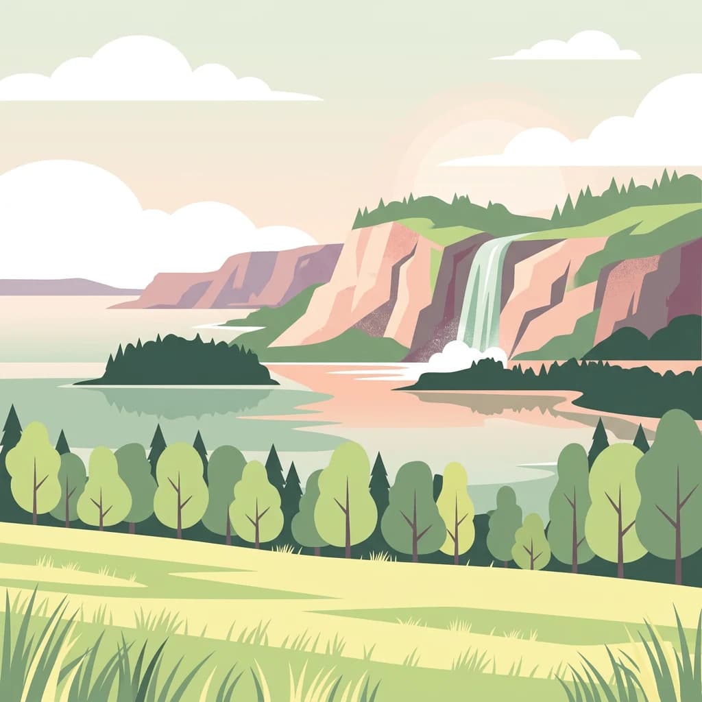
Curonian Spit National Park, in Lithuania. Landscapes: dunes, beaches, and coasts.
- Area
- 264.74 km²
- Established
- 1991
- IUCN
- II
- Visitors
- 400K annual
Geographic analysis of neighboring protected areas and regional environmental context
Examine the geographic distribution of protected lands situated near the glacially sculpted terrain of Žemaitija National Park. This regional perspective focuses on the spatial relationship between diverse habitats, local topography, and nearby natural formations to provide a clear view of the surrounding landscape context.

Glacial hills, lake-dotted landscape in northwestern Lithuania's Samogitian heartland
Žemaitija National Park is a Category II protected area in northwestern Lithuania, established in 1991 on the Samogitian Upland approximately 45 kilometers from the Baltic Sea. The park encompasses 217 square kilometers of hilly terrain sculpted by glacial melt about 12,000 years ago, creating relief reaching 150 to 190 meters in elevation. Lakes cover more than 7 percent of the park's territory, with Lake Plateliai standing as the largest body of water in Samogitia at 12 square kilometers and 47 meters depth. The town of Plateliai, situated on the lake's shoreline, serves as the park's administrative center and a popular base for visitors. Forests cover roughly 45 percent of the park, interspersed with wetlands, river valleys, and esker formations that together create a diverse mosaic of habitats supporting both common and rare species.
See the ranked park cluster in its geographic setting
Distance ranked regional park geography and surrounding protected landscapes

Southwest
Exploring the narrow peninsula landscape of Lithuania
Curonian Spit National Park, in Lithuania. Landscapes: dunes, beaches, and coasts.

Northeast
Geographic reference and protected habitat in Akmenė District Municipality
Deepen your understanding of Kamanų valstybinis gamtinis rezervatas, an IUCN Category Ia protected area in Lithuania. Trace the boundaries of its iconic raised bog, mineral islands, and deep spruce woodlands that define this significant northern regional landscape.

Southwest
Explore the complex hydrology and floodplain geography of this Ramsar-listed regional park
Nemunas Delta Regional Park protects a unique river delta landscape shaped by seasonal floods and intricate water channels. Covering the lowlands where the Nemunas River reaches the Baltic Sea, the park is a primary site for ornithological research and wetland conservation, home to Rusnė Island and Lake Krokų Lanka. This protected area offers profound insight into coastal delta formation and the ecological importance of lowland floodplains.

Southwest
Explore a UNESCO World Heritage sand spit with unique terrain.
Curonian Spit National Park, in Kaliningrad Oblast, Russia. Landscapes: dunes, beaches, and wetlands.

Northeast
Explore a unique protected landscape with mapped bog ecosystems and regional natural terrain.
Ķemeri National Park, in Latvia. Landscapes: bogs, forests, and wetlands.
Southeast
Essential woodland corridors in Kaunas district, Lithuania
Babtų-Varluvos miškų biosferos poligonas functions as a significant biosphere reserve focused on mature lowland forest conservation. This protected area offers a look at continuous woodland structures, research-focused biodiversity monitoring, and the spatial significance of forest corridors within central Lithuanian geography.

North
Explore the unique terrain and protected geography of this Baltic national park.
Slītere National Park represents a distinctive protected landscape on Latvia's Courland Peninsula, celebrated for its ancient geological formations like the Blue Hills (Zilie Kalni) and its role as a crucial bird migration corridor. The park's geography encompasses varied dune systems, wetland habitats, and rich broadleaf forests, offering a unique mapped environment. Discover the park's protected area boundaries and its significance within the regional Baltic geography, highlighting its unique ecosystem features and landscape context.

East
Central Baltic lowland conservation territory
Spanning central Lithuania, this biosphere reserve preserves a vast mosaic of deciduous, coniferous, and mixed forest lands. The territory supports high-quality bird habitats through disciplined forestry practices and the protection of complex wetland and peatland systems, making it a reference site for lowland forest conservation.

Southeast
Broadleaved forests and wetland ecosystems in central Lithuania
Gain insights into the protected landscape of Viliukų, Karpių miškai in the Ukmergė District. This biosphere reserve provides a detailed view of lowland forest ecosystems, characterized by spruce and birch dominance within an undulating terrain that sustains rare insect and plant communities.

Southeast
Central Lithuania protected landscape and wetland mapping
This nature reserve in the Kaunas district protects a rare combination of mature pine forest and open raised bog habitats. By preserving long term undisturbed ecological processes, it provides a stable reference point for forest dynamics in the region. Explore the structural complexity of these coniferous stands and the distinct wetland characteristics of this protected Baltic landscape.
South
Mapping the raised bog and forest ecosystems of the Romincka Forest.
Mechacz Wielki Nature Reserve represents a critical example of raised bog geography and peat-forming processes in Poland. This record details the reserve as a core feature of the Romincka Forest, focusing on its transition from open moss-dominated surfaces to complex boggy pine forests and wetland habitats. Gain insight into the regional landscape characteristics that shape this unique northeastern protected area.

South
Wetland ecosystems in the Warmian-Masurian Voivodeship
Examine the geographic layout of Rezerwat przyrody Jezioro Siedmiu Wysp, encompassing Lake Oświn, the Oświnka River corridor, and extensive peat-forming marshes. This protected area offers insight into Masurian wetland dynamics, including the interplay between open water, meadow grazing by konik polski horses, and critical habitats for diverse waterfowl populations across the Polish border region.
East
Protected forest massif and glacial landscape mapping
Šimonių giria stands as a prominent biosphere reserve in northern Lithuania, offering an expansive, pine dominated woodland defined by post glacial sands, extensive peat bogs, and a network of interior lakes. This structured overview details the park geographical features, from its role in the Natura 2000 network to its critical function as a biodiversity monitoring site within the Anykščiai District Municipality.

Northeast
Mapped terrain and diverse natural heritage in Vidzeme.
Gauja National Park, in Latvia. Landscapes: valleys, cliffs, and forests.

South
Mapping the post-glacial geography of Podlaskie Voivodeship
Suwalski Park Krajobrazowy represents a highly distinct glacial environment within the Polish lowlands. Explore the distribution of its iconic morainic landforms, extensive boulder reserves, and the deep basin of Lake Hańcza. The park provides critical geographic context for understanding the interplay between ice-transported geology and local hydrological features in northeastern Poland.
South
Regional geography of the Ełk Lake District and Masurian water landscapes.
This nature reserve safeguards a 388-hectare water and forest mosaic in the Warmian-Masurian Voivodeship. It offers a detailed look at glacial lake ecosystems, forested islands on Lake Piłwąg, and mature mixed deciduous forest stands that represent the classic character of the Masurian landscape.

South
Explore mapped landscapes and wetland ecosystems in Podlaskie Voivodeship
Delve into the geography of Wigry National Park, a national park situated in the Podlaskie Voivodeship of northeastern Poland. This protected area is defined by its glacial landscape, featuring 42 lakes including the expansive Lake Wigry, alongside critical wetland habitats and significant peat bogs. Discover the mapped boundaries and ecological importance of Wigry National Park, renowned as a prime location for beaver populations and a vital component of Poland's protected lands atlas.

Southeast
Explore Lithuania's historic park and its mapped geographic context.
Trakai National Historic Park offers a rich tapestry of medieval history intertwined with a captivating lake district landscape. As a protected area in southeastern Lithuania, it preserves significant architectural monuments, including the iconic Trakai Castle, set against a backdrop of interconnected lakes, forests, and wetlands. MoriAtlas provides a structured overview of its geographic boundaries and regional setting, facilitating atlas-style exploration of this historically significant protected landscape.
Geographic measurements, not driving distances
Calculated between the nearest points of both park boundaries.
Estimated from one mapped park location to the nearest boundary of the other park.
Estimated between the mapped locations of both parks.
Deepen your understanding of Žemaitija National Park's protected territory by delving into its specific geographic context and mapped landscape features. MoriAtlas facilitates exploration of this significant Lithuanian natural reserve, revealing how its glacially formed terrain and lake systems contribute to the broader regional geography and protected area network. Discover more about the park's distinct topographic identity.