
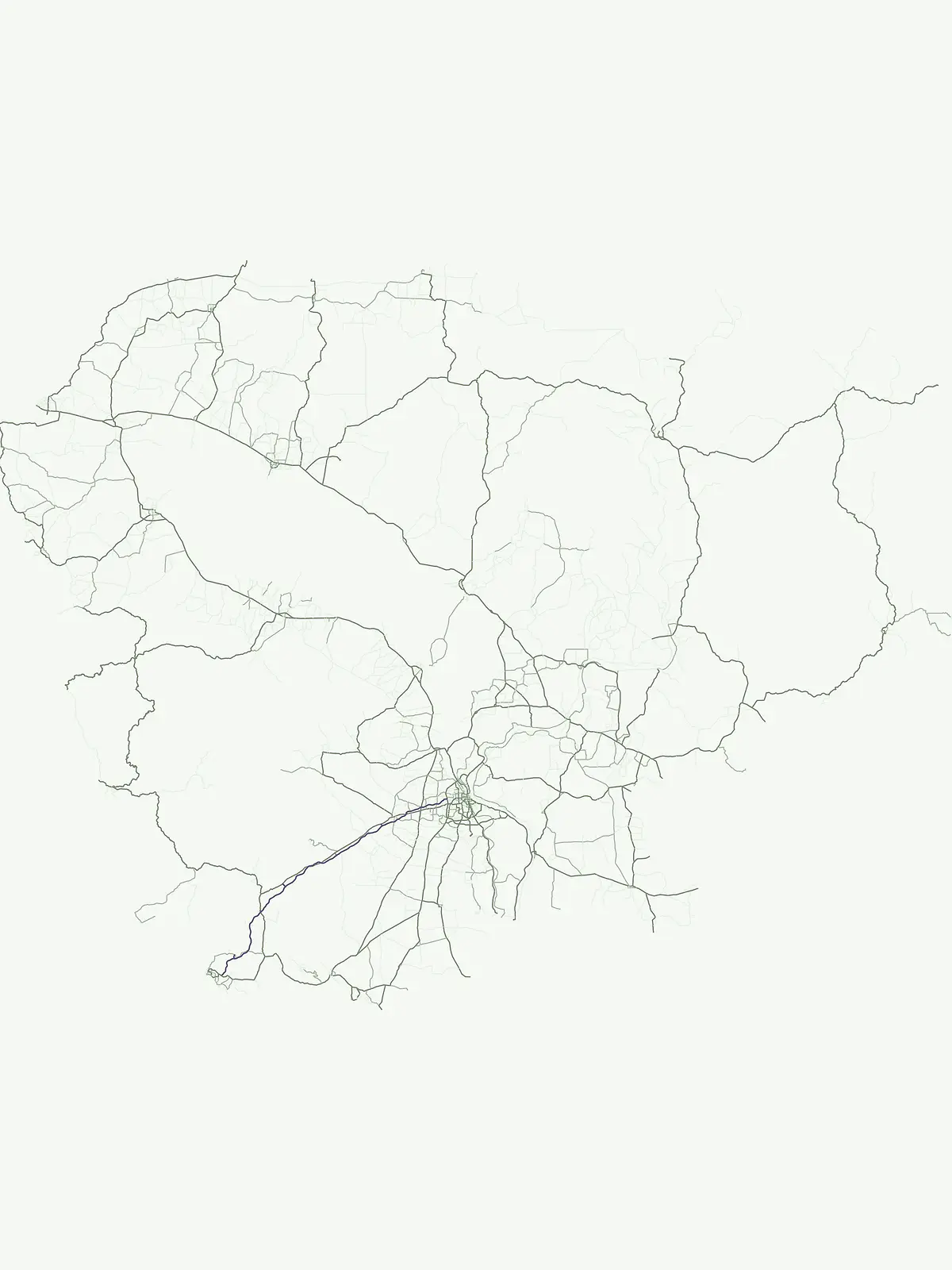
Mori Atlas logo
Country parks

Discover the geographic spread of protected landscapes and natural areas across Cambodia.

Browse Cambodia National Parks and Protected Areas: A Country-Wide Atlas View

Access a structured browseable list of Cambodia's national parks and protected areas, offering a distinct view of the country's conservation landscapes and natural geography. This resource facilitates exploration of mapped park boundaries and understanding the distribution of protected lands throughout Cambodia, providing essential context for regional geographic discovery. Identify key protected zones for further investigation and atlas-based learning.

Browse Cambodia National Parks and Protected Areas: A Country-Wide Atlas View

Explore the full geographic distribution of Cambodia's protected landscapes, from lowland forests to critical coastal and marine conservation areas.

Discover Cambodia's National Parks and Protected Areas: A Comprehensive Country Atlas

Browse a detailed index of Cambodia's national parks, nature reserves, and other protected areas, spanning diverse ecosystems from the Cardamom Mountains to the Tonlé Sap lake region. Uncover the regional context and geographic distribution of these critical conservation landscapes, providing a deeper understanding of park placement and ecological significance across the country.

Showing 1 to 12 of 12 parks

National parkKampong Speu ProvinceMountain

Kirirom National Park

Explore its mapped terrain and regional geography in Kampong Speu Province

Kirirom National Park stands as Cambodia's foundational national park, safeguarding a significant portion of the eastern Cardamom Mountains. This protected landscape is defined by its elevated terrain and mountain forest ecosystems, offering a distinct geographic character within Kampong Speu Province. Its atlas-style exploration reveals the mapped boundaries and regional context of this pioneering conservation area, providing insight into Cambodia's commitment to preserving its natural heritage.

283.75 km²1993TropicalAccess unknown
National parkSiem Reap ProvinceMountain

Phnom Kulen National Park

Explore ancient Khmer sites and natural terrain within this Cambodian national park.

Phnom Kulen National Park offers a unique glimpse into Cambodia's geographic and historical richness. As a protected national park in Siem Reap Province, it preserves a distinct highland landscape characterized by sandstone formations, evergreen forests, and sacred sites. Discover the mapped boundaries of this important conservation area, trace the historical significance of the Khmer Empire's origins, and explore the natural terrain that defines this culturally significant region.

373.76 km²1993IIMinor water
National parkRatanakiri provinceMountain

Virachey National Park

Explore its remote montane forest ecosystems and diverse terrain.

Virachey National Park, Cambodia's largest national park, offers a profound glimpse into one of mainland Southeast Asia's last great wildernesses. Spanning remote highland terrain in Ratanakiri province, it features dramatic elevation changes from 400 to 1,500 meters, supporting diverse ecosystems including dense lowland forests, unique montane cloud forests, and upland savannahs. Its recognition as an ASEAN Heritage Park underscores its critical regional conservation value, making it a significant destination for understanding protected landscapes and their geographic context.

3,380.57 km²1993TropicalII
National parkKampot ProvinceMountain

Preah Monivong Bokor National Park

Explore diverse forests and colonial history within its mapped terrain.

Preah Monivong Bokor National Park is a protected national park in Kampot Province, Cambodia, distinguished by its mountainous geography within the Dâmrei Mountains. Covering over 1,500 square kilometers, it showcases varied forest ecosystems and is recognized as an ASEAN Heritage Park. The park's landscape combines significant natural biodiversity with remnants of French colonial history, offering a rich context for atlas-based geographic exploration and protected-area understanding.

1,544.58 km²1993TropicalEasy access
National parkCambodiaMarine

Botum Sakor National Park

Explore its mapped geography and protected landscape features.

Botum Sakor National Park represents Cambodia's largest national park, offering a unique protected landscape where the Cardamom Mountains meet the Gulf of Thailand. The park's diverse geography includes extensive evergreen forests, grasslands, and significant coastal wetland ecosystems, such as mangrove and freshwater swamp forests. Examining its mapped boundaries reveals a critical area for biodiversity and regional ecological context within Southeast Asia's protected lands.

1,825.85 km²1993TropicalII
National parkKoh Kong provinceMountain

Southern Cardamom National Park

Explore its mapped boundaries and conservation significance.

Southern Cardamom National Park is a crucial protected area in southwestern Cambodia, encompassing a significant portion of the Cardamom Mountains. This national park serves as a vital atlas point for understanding the regional geography and conservation efforts in Southeast Asia. Its expansive territory is dedicated to safeguarding critical habitats and supporting ambitious wildlife programs, making it a cornerstone of landscape-level conservation and a key element in mapping the protected areas of the region.

4,103.92 km²2016TropicalII
National parkSihanoukville ProvinceMarineMountain

Ream National Park

Explore unique mangrove ecosystems and mapped terrain within Cambodia.

Ream National Park is a significant protected area in Cambodia, celebrated for its intricate coastal and terrestrial ecosystems. This national park offers a detailed view of mangrove wetlands, evergreen forests, rolling hills, and marine habitats like coral reefs and sea grass beds. Situated in Sihanoukville Province, its landscape is characterized by rivers flowing through the terrain into the sea, providing vital habitats for diverse species and contributing to its atlas significance for regional geography and protected-area study.

210 km²1993Easy accessII
National parkCambodiaMountain

Central Cardamom Mountains National Park

Explore Extensive Rainforest, Diverse Habitats, and Mountain Terrain

Central Cardamom Mountains National Park is Cambodia's largest protected area, a testament to significant rainforest conservation efforts. This national park spans approximately 4,010 square kilometers, showcasing a dynamic mountainous landscape with diverse ecological zones from coastal areas to peaks over 1,500 meters. Discover the geographic distribution of its protected boundaries and the rich tapestry of habitats that define this vital Southeast Asian natural reserve, offering deep context for atlas-based exploration.

4,010.65 km²1999TropicalModerate access
National parkKep ProvinceMountain

Kep National Park

Explore mapped terrain and panoramic viewpoints of this national park.

Kep National Park is a protected national park situated in Kep Province, Cambodia, known for its unique hilly terrain that rises from the coastal lowlands. This protected area offers elevated viewpoints with commanding sights across the Gulf of Thailand, stretching towards Phu Quoc island and the distant Bokor Ranges. Its landscape character is defined by the contrast between its mountainous interior and the surrounding flat coastal regions, making it a significant feature for understanding regional geography and mapped protected areas. The park provides an accessible experience of Cambodia's coastal mountainous ecosystems.

11.52 km²1993Access unknownII
National parkRatanakiri province

Veun Sai–Siem Pang National Park

Mapped Boundaries and Primate Conservation Habitat

Veun Sai, Siem Pang National Park in Cambodia's Ratanakiri province is a vital protected area featuring expansive lowland evergreen and semi-evergreen forests. Its designation as a national park underscores its role in safeguarding critical habitat for diverse primate populations, notably the endangered Northern buffed-cheeked gibbon. The park's geography, characterized by gentle terrain and extensive forest cover, makes it a significant component of the region's biodiversity corridor and a key site for understanding Cambodia's natural landscapes.

574.69 km²2016TropicalII
National parkRatanakiri province

O'Yadav National Park

Explore mapped boundaries and regional landscape context.

O'Yadav National Park is a national park located in northeastern Cambodia's Ratanakiri province, designated to protect significant forest ecosystems and serve as a vital link in the nation's biodiversity corridor system. Spanning 105,019 hectares, the park encompasses forested terrain and includes the historically significant Yak Nang temple site. Its conservation efforts contribute to the ecological integrity of the broader Indochinese region, making it a key protected landscape for atlas-based geographic study.

1,050.19 km²2016IIMinor water
Watercolor depiction of a coastal scene with green trees, sandy shore, and calm water under a soft sky
Marine protected areaCambodiaMarine

Koh Rong National Park

Mapped island archipelago and protected landscape geography.

Koh Rong National Park stands as Cambodia's foundational marine protected area, safeguarding seven tropical islands and their surrounding marine environments in the Gulf of Thailand. This designation underscores its importance for coastal and island ecosystem conservation, characterized by lush island interiors, extensive beaches, and vital coral reef formations. Understanding the park's mapped boundaries and its place within the regional geography reveals a significant natural landscape for atlas exploration.

524 km²2018IIMajor water bodies
Other countries

Compare Southeast Asian Protected Areas and Trace Regional Conservation Geography

Countries with National Parks Near Cambodia, Expanding Southeast Asia Park Exploration

Continue your national park discovery by exploring countries that share geographic proximity or related conservation landscapes with Cambodia. This atlas view allows you to compare diverse protected areas, understand regional park distribution, and trace broader environmental patterns across Southeast Asia.

Explore Thailand's National Parks and Protected Areas: A Geographic Atlas Overview

Navigate the diverse protected areas of Thailand, from mountainous northern regions to coastal parks. This atlas view offers insights into the geographic distribution of national parks and conservation landscapes, enabling a structured exploration of the country's natural terrain and mapped boundaries. Understand the scope of protected lands and their place within Thailand's broader geography.

119 parks

Philippines National Parks and Protected Areas: Geographic Discovery Atlas

Navigate the diverse geography of the Philippines with this atlas focused on national parks and protected areas. Understand the distribution of protected lands across the Philippine archipelago, from Luzon to Mindanao. This resource facilitates a deeper appreciation of the country's natural terrain and mapped conservation areas, offering a structured way to explore its significant protected landscapes.

87 parks

Malaysia National Parks and Protected Areas: Mapped Landscapes & Geographic Discovery

MoriAtlas provides a structured geographic overview of Malaysia's national parks and protected areas. Navigate the country's diverse natural landscapes, from marine protected areas to terrestrial parks, gaining insight into their distribution and mapped boundaries. This atlas-style explorer is designed for understanding regional geography and the scope of conservation efforts within Malaysia.

66 parks

Explore Vietnam's National Parks and Protected Landscapes on the Atlas

Access a structured view of Vietnam's national parks and protected areas, providing essential geographic context for each mapped region. This atlas resource details the distribution of protected lands across the country, from the northern highlands to the Mekong Delta, highlighting their significance within Vietnam's natural terrain and broader Southeast Asian geography. Understand the scope of conservation efforts through detailed landscape maps.

31 parks

Laos National Parks and Protected Areas: A Geographic Atlas and Map Explorer

Examine the distribution of national parks and protected areas throughout Laos. This resource provides a structured look at the country natural terrain, mapping essential conservation regions such as biodiversity corridors, wetland systems, and mountainous forest environments for geographic exploration.

8 parks

Jordan's National Parks and Protected Landscapes: A Geographic Atlas

Access a comprehensive atlas view of Jordan's national parks and protected areas. This resource details the geographic spread and boundaries of conservation lands, providing context for regional exploration and understanding the natural terrain. It is an ideal starting point for anyone interested in the mapped distribution of protected landscapes within Jordan.

8 parks

Myanmar National Parks and Protected Areas: Browse Mapped Landscapes and Regional Geography

This section provides a structured atlas view of Myanmar's national parks and protected lands. Users can explore the geographic distribution and mapped boundaries of these significant natural areas. Understand the regional context and landscape diversity across Myanmar, from mountain parks to conservation areas, facilitating a deeper geographic discovery.

5 parks

Brunei's National Parks and Protected Areas: Geographic Atlas and Map Exploration

As a gateway to Brunei's natural heritage, this geography-focused atlas provides an overview of the nation's protected areas. Explore the mapped boundaries and geographic spread of national parks and other conservation lands situated on Borneo. Understand the regional context and the natural terrain that defines these vital protected landscapes for structured discovery.

5 parks

Protected area types

Continue Exploring Cambodia's Designation Landscape: National Parks and Reserves

Deepen your geographic understanding by continuing into the structured details of Cambodia's protected area classifications. This route provides the framework to trace the specific boundaries and regional context of its national parks and marine protected areas, offering a focused lens for atlas-based exploration of the nation's conservation lands.

Cambodia Park Designations
MoriAtlas Explorer

Continue Exploring Cambodia's National Parks and Protected Areas with Focused Search

Advance your geographic exploration by utilizing the dedicated Cambodia national park search route. This tool is designed to help you actively refine your search by environmental traits and mapped geography, facilitating a more granular comparison of protected areas across the nation and leading to a better understanding of regional conservation efforts.

Global natural geography







