South
Mapungubwe National Park
Explore Limpopo's unique protected area at the three-nation border.
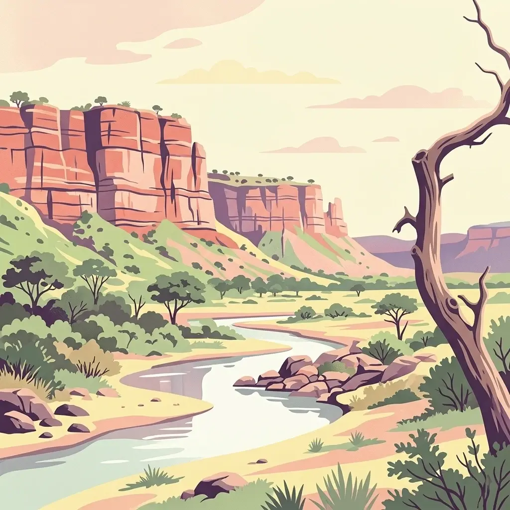
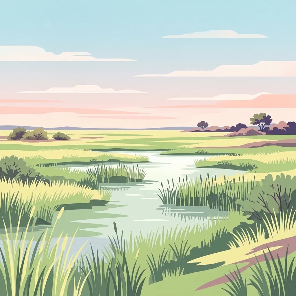
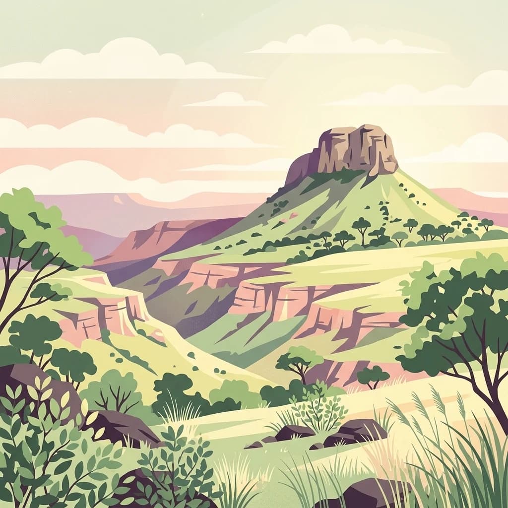
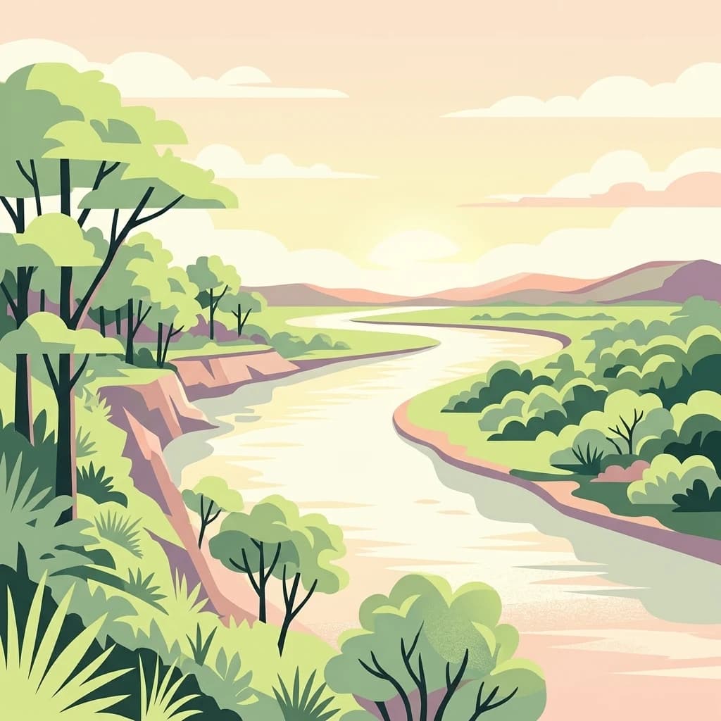
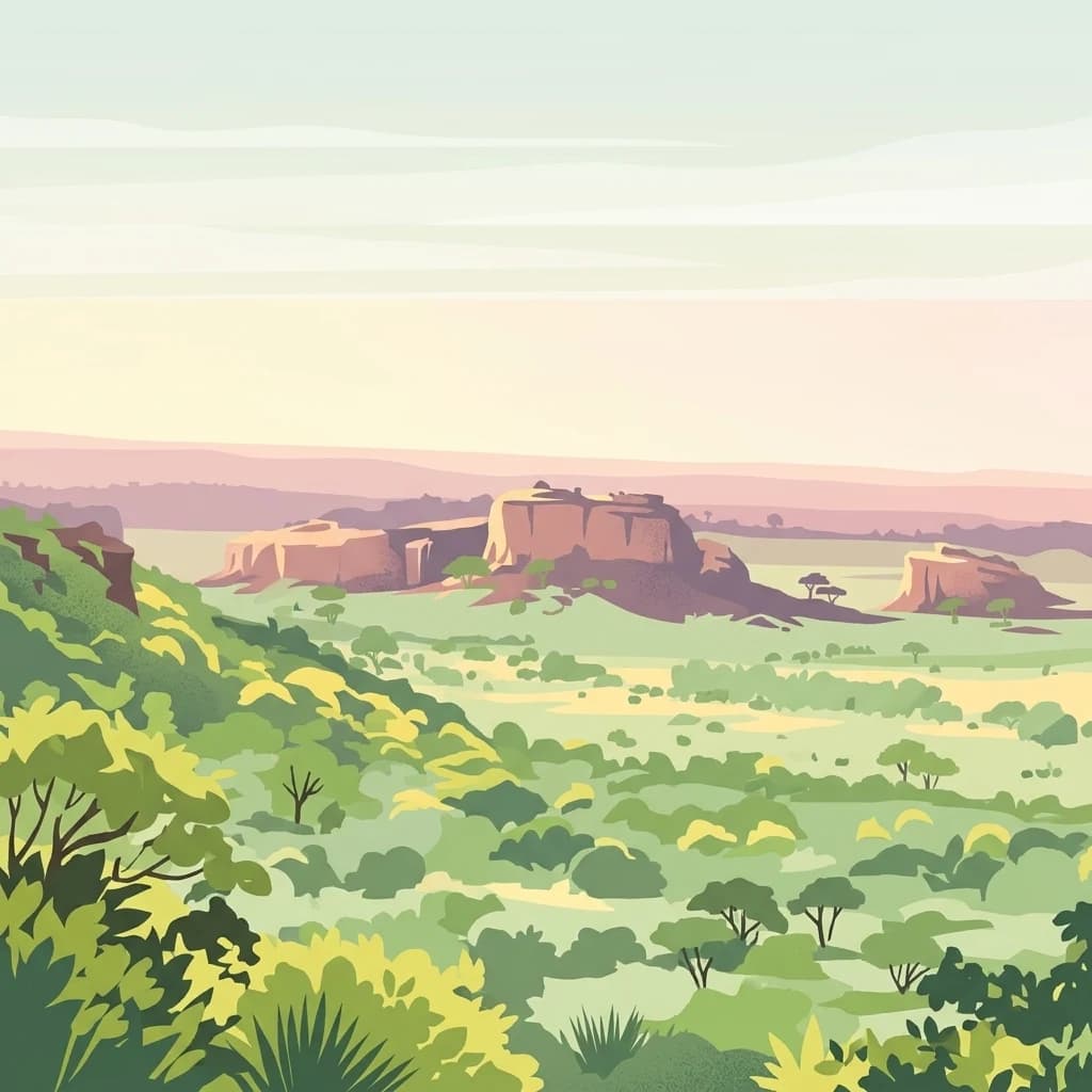
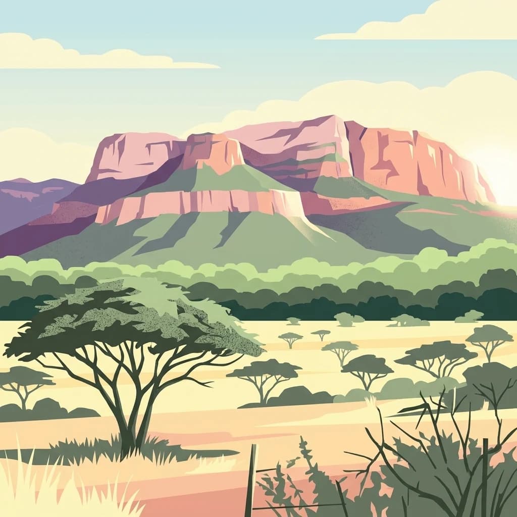
Mapungubwe National Park, in Limpopo, South Africa. Landscapes: rivers, woodlands, and wetlands.
- Area
- 280 km²
- Established
- 1998
- IUCN
- II
- Relief
- Lowland
Discover the regional geography and spatial distribution of nearby conservation landscapes
Identify the natural parks and diverse protected areas clustered around the Greater Mapungubwe Transfrontier Conservation Area. This geographic overview highlights the surrounding landscape patterns and regional distribution of conservation lands at the confluence of the Limpopo and Shashe Rivers.

Tri-national transfrontier park protecting wildlife at the historic confluence of the Limpopo and Shashe Rivers
The Greater Mapungubwe Transfrontier Conservation Area is a multinational protected area spanning the border regions of South Africa, Botswana, and Zimbabwe in southern Africa. Established through collaborative conservation efforts between the three nations, the transfrontier conservation area covers approximately 4,872 square kilometers of diverse savanna landscapes at the confluence of the Limpopo and Shashe Rivers. The area represents one of Africa's pioneering transboundary protected area initiatives, designed to enable wildlife migration and ecosystem management across national borders while supporting regional conservation objectives. The park encompasses a remarkable combination of ecological significance and cultural heritage, centering on the Mapungubwe Cultural Landscape which was inscribed as a UNESCO World Heritage Site in 2003. This transfrontier area protects critical habitat for numerous species including elephant, lion, leopard, cheetah, and African wild dog, while preserving archaeological evidence of human habitation extending back more than 1,500 years.
See the ranked park cluster in its geographic setting
Geographic proximity, regional border context, and environmental comparison signals across southern Africa

South
Explore Limpopo's unique protected area at the three-nation border.
Mapungubwe National Park, in Limpopo, South Africa. Landscapes: rivers, woodlands, and wetlands.
South
Limpopo Province, South Africa Wildlife Reserve
Mapesu Private Game Reserve serves as a significant conservation entity in South Africa, defined by undulating mopane plains and rocky outcrops. The reserve functions as an ecological extension of the neighbouring Mapungubwe World Heritage Site, safeguarding a mosaic of thirteen distinct plant communities and supporting a rich variety of mammal and avian populations in a remote, protected bushveld setting.

South
Tracing the savanna and mountain transition zones of a northern protected area
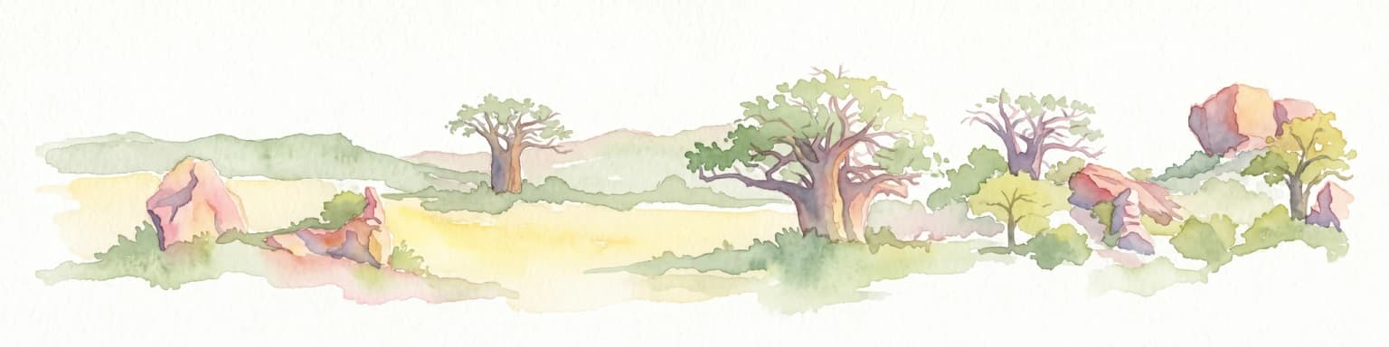
Blouberg Nature Reserve offers a distinctive look at the Limpopo landscape, encompassing steep sandstone cliffs, old-growth mountain forest patches, and open baobab-studded plains. This protected area stands as a focal point for understanding the ecological transition between the Soutpansberg range and the Limpopo lowveld. Use this atlas resource to understand the park's internal topography, its specific habitat boundaries, and its regional position as a significant node for raptor conservation in southern Africa.

Southwest
Geology, mapping, and ecological zones of the Waterberg range
The Waterberg Biosphere stands as a major protected region in South Africa, formed by ancient sandstone layers sculpted into mesas and deep gorges. This massif bridges ecological zones from highland savanna to riverine habitats, anchoring a network of game reserves and wilderness areas through its distinctive geological and historical landscape identity.
Southeast
A study of river confluence and woodland ecosystems in South Africa
Nwanedi Provincial Park sits at the meeting point of the Nwanedi and Luphephe Rivers in the far north of Limpopo province. This protected area features a mosaic of habitats, ranging from mountain foothills and rocky ridgelines to sheltered riverine woodlands. The presence of twin dams provides a consistent water source for the surrounding lowveld, creating a significant ecological intersection that serves as a focal point for regional biodiversity and natural terrain mapping.

North
Explore its mapped boundaries and regional context.
Matobo National Park, in Matobo District, Zimbabwe. Landscapes: mountains, hills, and valleys.

Southeast
Explore savanna landscapes and mapped protected area boundaries.
Savanna, riverine forests, and mopane woodlands in South Africa provide habitat for elephants, lions, leopards, rhinos, and buffalo.
South
Mapped boundaries and natural habitat in northern South Africa
Spanning 2,800 hectares of grassy plains and bushveld, Polokwane Game Reserve serves as a critical municipal protected area near the urban core of Polokwane. This geographic overview highlights the reserve's unique eastern ridge flora, its chain of riverine waterholes, and the spatial distribution of its protected landscape within the Limpopo province.

Southwest
Protected bushveld terrain in the Limpopo province of South Africa
Lapalala Wilderness represents an influential private conservation landscape featuring over forty-eight thousand hectares of bushveld habitat. Gain insight into the reserve's structural diversity, including its sixty kilometers of priority river systems and distinct land types that define this protected territory in Limpopo.
Southeast
Explore its mapped boundaries and transfrontier park significance.
Limpopo National Park, in Mozambique. Landscapes: grasslands, rivers, and lakes.
Southeast
Mapping the diverse Afromontane ecosystems of the Limpopo escarpment
Wolkberg Wilderness Area protects a high-altitude transition zone in South Africa, where quartzite massifs rise sharply above the surrounding plains. This reserve features a rugged, low-infrastructure environment defined by mist-influenced forests, clean mountain rivers, and steep boulder slopes. Analyze the geographic boundaries and terrain features that make this reserve a critical sanctuary for regional bird species and forest-loving plant communities.

East
Explore mapped boundaries and regional geography
Gonarezhou National Park represents a significant protected area within the geography of Masvingo Province, Zimbabwe. This page details its specific mapped boundaries and landscape context, offering a focused view for atlas-based exploration. Understand the park's natural terrain and its positioning within the regional protected lands for comprehensive geographic discovery.
Southwest
Mapped terrain across the Waterberg mountain bushveld
Welgevonden Game Reserve stands as a focal point for protected land discovery in South Africa. The reserve features complex geological formations, ranging from steep cliffs to open plateau grasslands. Gain insights into the physical boundaries and landscape diversity that define this significant conservation area located within the northern Limpopo province.

South
Protected floodplain ecosystems and seasonal riverine terrain
Nylsvley Nature Reserve protects a vast, shallow floodplain and surrounding open woodland, creating a high-density conservation zone in the Limpopo Province. Its terrain is defined by the seasonal interaction of the Nyl River, extensive reedbeds, and unique botanical communities. This profile examines the reserve as a significant reference point for understanding the interplay between floodplain geography, savanna bushveld, and inland wetland habitats.

Southwest
Explore its Limpopo Province regional setting and mapped boundaries.
Marakele National Park represents a vital protected national park within the diverse geography of Limpopo Province, South Africa. This entry provides detailed atlas-style information on its protected landscape, focusing on mapped geographic boundaries and its context within the regional natural terrain. It serves as a key resource for understanding the park's specific role as a conservation area and its place within the broader atlas of South African protected lands.

Southeast
An open-system wilderness integral to the Greater Kruger ecological network.
Explore the geographic identity of Balule Nature Reserve, a vast protected area in South Africa characterized by its integration with the Greater Kruger wilderness. The terrain encompasses a rich mix of mopane-dominated woodland, riverine forest along the Olifants River, and open subtropical bushveld that supports significant wildlife migrations.

Southeast
Integrated conservation across savanna, canyon, and montane ecosystems
Covering the stretch between the Letaba and Sabie Rivers, this biosphere reserve serves as a vital conservation landscape in South Africa. Its unique geography captures the transition from rugged escarpment cliffs to open bushveld, showcasing a high density of protected land and biodiversity. Use this map-oriented resource to understand the structural role of the biosphere as a model for landscape-scale environmental management and its geographic placement within the Limpopo province.
Southwest
Exploration of the Limpopo bushveld and wildlife habitat boundaries
Mabula Game Reserve provides a detailed look at the bushveld ecosystems of South Africa. Spanning 12,000 hectares in Limpopo, the reserve features a unique blend of rocky ridges, open savanna, and riverine woodlands. Its structural diversity creates a distinct natural corridor that serves as a focal point for understanding regional wildlife distribution and the transition zone between the Waterberg and the northern plains.
Southeast
Explore the diverse terrain and riverine ecosystems of this South African wildlife reserve
Kapama Game Reserve sits within the Limpopo Lowveld, featuring a complex mix of open savanna, mixed bushveld, and dense riverine corridors shaped by the Blyde River. This record provides a detailed look at the reserve as a functional piece of the greater regional conservation landscape, highlighting its topography and its role in protecting South Africa's native habitat.

Southeast
Mapping river-carved canyons and plateau ecosystems in Mpumalanga
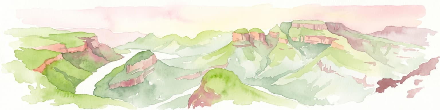
Blyde River Canyon Nature Reserve protects a vast stretch of the Mpumalanga Drakensberg, characterized by vertical cliffs, rocky massifs, and deep river gorges. This atlas-focused resource highlights the reserve's geological landmarks, including the Three Rondavels and Bourke's Luck Potholes, offering a clear view of the complex terrain and protected natural boundaries defining this northeastern South African landscape.
Geographic measurements, not driving distances
Calculated between the nearest points of both park boundaries.
Estimated from one mapped park location to the nearest boundary of the other park.
Estimated between the mapped locations of both parks.
Deepen your understanding of the Greater Mapungubwe Transfrontier Conservation Area by exploring its distinct protected landscape features and regional geographic context. Discover how this transboundary initiative preserves vital savanna ecosystems and showcases rich cultural heritage through detailed maps and factual atlas data, providing a unique lens into conservation and history.