Mori Atlas logo
Nearby park discovery

Geographic context and regional landscape distribution for nearby protected areas

National Parks and Protected Areas Surrounding Halych National Nature Park in Ukraine

Examine the geographic distribution of protected lands in the vicinity of Halych National Nature Park. This mapped regional context highlights the relationship between the park and surrounding natural landscapes, providing a detailed overview of the ecological mosaic found within this part of western Ukraine.

Related tags

forestwetlandssteppeCarpathian foothillsbiodiversity

Forests, wetlands and steppe where the Carpathian foothills meet the East European Plain

Halych National Nature Park

Halych National Nature Park is a protected area in western Ukraine, established in 2004 in the Ivano-Frankivsk Oblast. The park occupies a transitional landscape at the border between the Carpathian Mountains and the southwestern edge of the East European Plain, encompassing a mosaic of forest, steppe, meadow and wetland habitats along the Dniester River and its tributaries. Its 14,685 hectares of terrain include oak‑hornbeam and oak‑beech forests that dominate the rolling hills, as well as extensive wetlands and small patches of calcareous steppe that host rare plant communities. The park lies within a humid continental climate zone with warm summers and cold winters, and its location at the junction of the Central European mixed forests and Carpathian montane forests ecoregions gives it a high degree of biodiversity. It serves both as a conservation site for dozens of endangered species and as a destination for ecological education and nature tourism, with a network of trails, a visitor museum, and a wildlife rehabilitation centre.

Location
Ukraine
Park type
National park
Established
2004
Area
147 km²
Halych National Nature Park Protected Landscape
Regional park map

See the ranked park cluster in its geographic setting

Nearby parks around Halych National Nature Park

This regional map shows the same 20 nearby parks ranked below around Halych National Nature Park. Select a ranked marker to highlight that park’s boundary where boundary data is available.
Reference park: Halych National Nature ParkRanked nearby park20 nearby parks shown
20 nearby parks

Distance-ranked collection of surrounding protected landscapes and regional park geography

Parks and Protected Areas Geographically Near Halych National Nature Park

Nearby protected areas provide a structured comparison of regional park geography and surrounding landscape patterns based on direct geographic separation from Halych National Nature Park. Evaluating these surrounding environments reveals broader conservation contexts across the wider region without relying on driving distances or travel routes.
Watercolor painting showing mountain ranges, green valleys, and forested areas with pine trees
National parkIvano-Frankivsk Oblast
About 69 km away#1 closest

Southwest

Syniohora National Nature Park: Protected Carpathian Landscape and Geographic Context

Explore the mapped terrain and protected area boundaries within the Gorgany mountains.

Syniohora National Nature Park, located in Ivano-Frankivsk Oblast, is a vital protected area safeguarding a significant portion of the Gorgany mountain massif. This park offers a unique opportunity to explore the mapped geography and natural landscape characteristic of the Ukrainian Carpathians. Its establishment as a national park underscores the importance of preserving the region's mountain terrain, protected forest ecosystems, and distinctive natural heritage for structured geographic discovery.

Area
108.66 km²
Established
2009
IUCN
II
Scope
Terrestrial
A minimalist watercolor painting showing rolling green hills and distant mountain ridgelines in soft pastel tones of green and violet against a white background.
Protected areaAlbania
About 79 km away#2 closest

West

Primeval Beech Forests of the Carpathians and Other Regions of Europe: Protected Area and Forest Atlas

A transnational network of old growth beech forest reserves across Europe.

Examine the geographic distribution and protected boundaries of the Primeval Beech Forests of the Carpathians and Other Regions of Europe. This site highlights the continent's most intact beech forest ecosystems, illustrating essential ecological processes from the Balkans and Carpathians to the Alps and Western Europe.

Area
583.53 km²
Established
2007
Relief
Mountain
Access
Access unknown
Watercolor illustration of rolling hills, distant mountains, green fields, scattered trees, and colorful wildflowers
National parkUkraine
About 83 km away#3 closest

West

Skole Beskids National Nature Park: Protected Landscape Atlas and Geographic Context in Ukraine

Explore the mapped boundaries and regional geography of this Ukrainian national park.

Delve into the specifics of Skole Beskids National Nature Park, a designated national park contributing to Ukraine's protected lands. This detail page offers a structured atlas view, focusing on the park's geographic positioning, its mapped natural landscape features, and its significance within the regional context. Understand the core identity of this protected area through detailed geographic and landscape data, enabling focused map exploration.

Area
357 km²
Established
1999
IUCN
II
Relief
Mountain
Watercolor painting of green forests, valleys, and distant mountains in the Carpathian Mountains
National parkIvano-Frankivsk Oblast
About 85 km away#4 closest

South

Carpathian National Nature Park: Protected Landscape Within Ivano-Frankivsk Oblast

National Park mapped boundaries and regional geography.

Carpathian National Nature Park represents a significant protected area within Ivano-Frankivsk Oblast, Ukraine. This page offers detailed insights into its protected landscape identity, helping users understand its geographic setting and mapped boundaries. As part of the Carpathian region, the park serves as a key point for atlas-based discovery, providing context for its place within the broader geography of western Ukraine.

Area
515.7 km²
Established
1980
IUCN
II
Visitors
1M annual
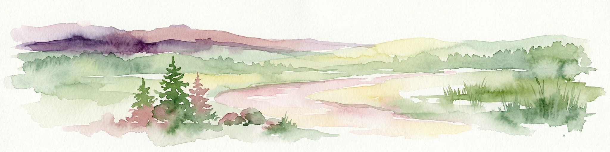
Watercolor painting showing green hills, pink fields, and purple mountains under a pale sky
National parkLviv Oblast
About 91 km away#5 closest

North

Northern Podillia National Nature Park: Protected Area Mapping and Regional Geography

Explore unique karst features and ancient forests in Lviv Oblast.

Northern Podillia National Nature Park is a protected national park in Lviv Oblast, Ukraine, safeguarding a significant area of the Podolian Upland. The park is distinguished by its ancient beech forests, rare karst lakes known as the Blue Windows, and geological formations reflecting ancient sea reefs. This page serves as a dedicated atlas entry for understanding the park's mapped boundaries, its ecological significance, and its place within the regional geography of western Ukraine.

Area
156 km²
Established
2009
IUCN
II
Relief
Highland
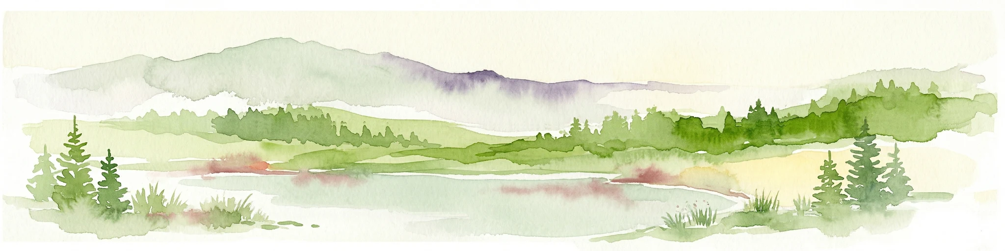
Watercolor illustration of a winding river through rolling green hills with distant mountains under a soft sky
National parkTernopil Oblast
About 92 km away#6 closest

Southeast

Dniester Canyon National Nature Park: National Park Protected Landscape and Geographic Context

Mapped boundaries and regional geography in Ternopil Oblast

Delve into the protected landscape of Dniester Canyon National Nature Park, a designated national park in Ukraine. This entry offers a structured view of the park's geographic setting within Ternopil Oblast, focusing on its mapped boundaries and its role as a significant protected natural area. Understand its placement within the broader atlas of Ukrainian natural landscapes and regional geography, offering a factual basis for exploration.

Area
108 km²
Established
2010
IUCN
II
Relief
Mixed relief
Watercolor illustration of a landscape with mountains, trees, a river, and fields
National parkUkraine
About 94 km away#7 closest

South

Hutsulshchyna National Park: National Park of Ukraine's Carpathian Mountains

Discover mapped protected landscapes and regional geography.

Explore Hutsulshchyna National Park, a designated national park within Ukraine's Carpathian Mountains. This protected area showcases representative Carpathian forest ecosystems and mountain terrain, offering significant insight into the region's natural landscape and geographic context. The park's boundaries protect rolling slopes and river valleys, contributing to the ecological richness of the Eastern Carpathians. MoriAtlas provides structured data for understanding its place within the national and regional atlas.

IUCN
II
Scope
Terrestrial
Watercolor painting showing a lake surrounded by mountains and forests
National parkZakarpattia Oblast
About 96 km away#8 closest

Southwest

Synevyr National Nature Park: National Park Protected Landscape in Zakarpattia Oblast

Mapped geographic context and protected area identity

Delve into Synevyr National Nature Park, a designated national park situated in the diverse geography of Zakarpattia Oblast, Ukraine. This page provides essential atlas-driven context, detailing the park's mapped boundaries and its significance as a protected landscape within the Carpathian region. Understand its unique place in Ukraine's network of natural areas and explore its regional geographic setting for a comprehensive overview.

Area
404 km²
Established
1974
IUCN
V
Relief
Mountain
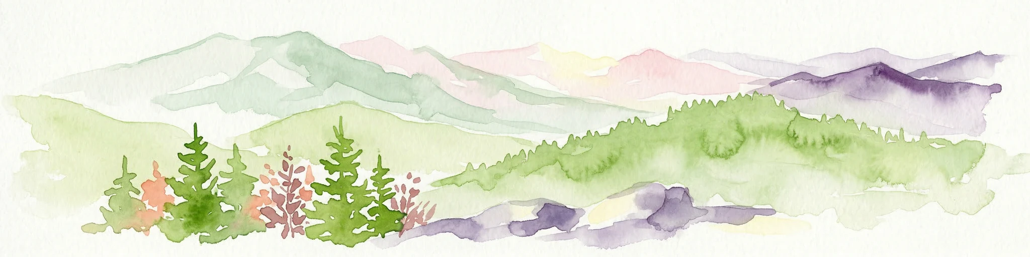
Watercolor illustration of green and purple mountains with pine trees and flowering shrubs in the foreground
National parkLviv Oblast
About 107 km away#9 closest

West

Boikivshchyna National Nature Park: National Park Protected Landscape Exploration

Lviv Oblast geographic context and mapped terrain

Dive into the protected landscape of Boikivshchyna National Nature Park, a key national park located in Lviv Oblast. MoriAtlas facilitates structured discovery of its mapped boundaries, regional geography, and the unique natural terrain it encompasses. This entry is designed for users interested in the specific park identity, its geographic setting within Ukraine, and detailed atlas-based understanding of protected natural areas.

Area
317 km²
Established
2019
IUCN
II
Relief
Mountain
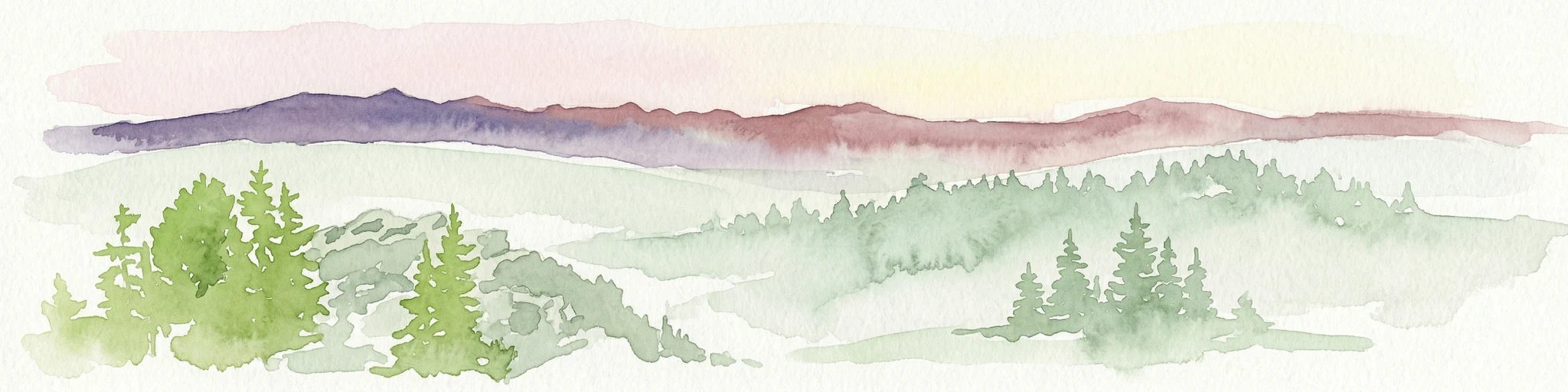
Watercolor painting showing green forested hills and distant purple mountains under a pale sky
National parkVerkhovyna Raion
About 110 km away#10 closest

South

Verkhovyna National Nature Park: Explore Protected Landscape Geography in Verkhovyna Raion

Discover Ukraine's Verkhovyna National Nature Park mapped terrain.

Verkhovyna National Nature Park represents a vital protected area within the Verkhovyna Raion of Ukraine. This detailed atlas entry focuses on the park's geographic significance, providing insights into its mapped boundaries and its role within the regional landscape context of the Carpathian Mountains. It serves as a focused point for understanding the park's protected status and its place in a structured geographic discovery framework.

Area
120 km²
Established
2010
IUCN
II
Relief
Mountain
Watercolor painting showing a mountainous landscape with green hills, vegetation, and a valley
National parkChernivtsi Oblast
About 117 km away#11 closest

South

Vyzhnytsia National Nature Park: Protected National Park Landscape Exploration

Mapped boundaries and regional terrain in Chernivtsi Oblast.

Delve into the specific protected landscape of Vyzhnytsia National Nature Park, a designated national park in Ukraine's Chernivtsi Oblast. This detailed entry provides context on its geographic positioning, mapped natural features, and the surrounding regional terrain, aiding in structured atlas exploration and understanding its significance within the protected areas network.

Area
7,928.4 km²
Established
1995
IUCN
II
Relief
Mountain
National parkLviv Oblast
About 118 km away#12 closest

Northwest

Yavoriv National Nature Park: Protected Landscape and Regional Geography in Lviv Oblast

Mapped protected area boundaries and natural terrain context.

Yavoriv National Nature Park is a designated national park within Lviv Oblast, Ukraine. This page provides detailed geographic information, focusing on the park's protected landscape identity and its mapped terrain. Understanding its location in Western Ukraine, near the Carpathian gateway, offers valuable context for atlas-based exploration of protected areas and natural features within the region.

Area
71.08 km²
Established
1998
IUCN
II
Relief
Highland
Watercolor illustration of a landscape with rolling hills, a river, scattered trees, and distant mountains.
National parkTernopil Oblast
About 120 km away#13 closest

Northeast

Kremenets Mountains National Nature Park National Park: Geographic and Protected Landscape Atlas

Mapped boundaries and regional natural terrain context.

Delve into the specifics of Kremenets Mountains National Nature Park, a protected area designated as a national park in Ukraine's Ternopil Oblast. This MoriAtlas entry focuses on its role as a distinct geographic entity, providing mapped boundaries and context within the regional landscape. Understand its protected status and how it contributes to the natural geography of western Ukraine, offering a structured point for atlas-based discovery.

Area
162 km²
Established
1999
IUCN
II
Relief
Mixed relief
Watercolor illustration of a mountainous landscape with green hills, trees, and a river valley
National parkUkraine
About 127 km away#14 closest

Southeast

Khotyn National Nature Park: Ukraine's National Park Atlas and Protected Landscape

Explore geographic boundaries and natural terrain.

Delve into the details of Khotyn National Nature Park, a protected national park situated within Ukraine. This entry offers precise geographic insights, focusing on the park's mapped terrain and its role as a significant protected landscape. Discover the regional context and understand its distinct natural features, providing a structured view for atlas-based exploration of Ukrainian protected areas.

Area
94 km²
Established
2010
IUCN
II
Relief
Mixed relief
Watercolor illustration of a mountainous landscape with forests, a lake, and distant peaks.
National parkChernivtsi Oblast
About 130 km away#15 closest

South

Cheremosh National Nature Park: Protected Landscape and Geographic Context in UA

Explore mapped boundaries within Chernivtsi Oblast

Cheremosh National Nature Park represents a vital protected area within Ukraine's Chernivtsi Oblast. This entry offers a structured exploration of the park's geographic identity, focusing on its mapped boundaries and its significance as part of the regional natural landscape. Delve into the terrain and understand how Cheremosh National Nature Park contributes to the mapped geography of western Ukraine, providing a foundation for atlas-based discovery.

Area
71 km²
Established
2009
IUCN
II
Relief
Mountain
Watercolor illustration of a mountainous landscape with forests, lakes, and rolling hills under a light sky
National parkUkraine
About 134 km away#16 closest

West

Uzh National Nature Park: Primeval Beech Forests and Protected Landscape in Ukraine

Explore its mapped boundaries and Carpathian geography.

Uzh National Nature Park, a protected national park in Ukraine's Carpathian Mountains, safeguards a crucial segment of the Primeval Beech Forests of the Carpathians, a UNESCO World Heritage site. This atlas-focused exploration reveals the park's mapped terrain, defined by river valleys and ancient forest ecosystems, offering essential geographic context for this significant protected landscape. Discover the natural heritage preserved within its boundaries, showcasing exceptional biodiversity and the unique character of the Eastern Carpathians.

Area
391.593 km²
Established
1999
IUCN
II
Relief
Mountain
National parkSubcarpathian Voivodeship
About 134 km away#17 closest

West

Bieszczady National Park: A Protected Landscape of the Eastern Carpathians

Explore mapped terrain, alpine meadows, and old-growth forests.

Discover Bieszczady National Park, a significant national park located in the Subcarpathian Voivodeship of Poland, within the Eastern Carpathian mountain range. This protected area is renowned for its vast expanses of old-growth beech forests, the characteristic połoniny alpine meadows, and its status as a UNESCO World Heritage Site, underscoring its global conservation importance. The park's wild character and dramatic mountain geography make it a key destination for atlas-driven exploration of protected landscapes.

Area
292.02 km²
Established
1973
IUCN
II
Relief
Mountain
A horizontal watercolor painting depicting a soft, layered landscape of green rolling hills and mountain ridges under a bright, clear sky.
National parkPodkarpackie Voivodeship
About 134 km away#18 closest

West

Bieszczadzki Park Narodowy: Geographic Atlas of Poland's High Carpathian Grasslands and Forests

Protected mountain terrain in the Podkarpackie Voivodeship

Bieszczadzki Park Narodowy represents one of Poland's most significant protected landscapes, encompassing the unique połoniny highland plateaus and extensive tracts of old-growth forest. This detailed overview traces the park boundaries, mapping the transitions between forested valleys and the treeless summits that characterize this distinctive Carpathian region.

Area
292.02 km²
Established
1973
Visitors
388K annual
Relief
Mountain
Protected areaPodkarpackie Voivodeship
About 148 km away#19 closest

West

Ostoja Góry Słonne: Geographic Analysis of Protected Carpathian Forest and Foothills

Mapping natural boundaries in the Podkarpackie Voivodeship

Ostoja Góry Słonne represents a significant protected area within the Polish Carpathians, characterized by its dense beech forest cover and high biodiversity. This site serves as a vital refuge for large mammals and diverse riparian species, with its landscape of forested ridges and river valleys providing essential habitat connectivity across the Słonne Mountains and Przemyskie Foothills.

Area
460.715 km²
Established
2009
Relief
Mountain
Climate
Temperate
Watercolor painting of a mountainous landscape with green forests, a river, and distant peaks
National parkZakarpattia Oblast
About 150 km away#20 closest

Southwest

Zacharovanyi Krai National Nature Park: Protected Landscape Atlas Entry

National park within Zakarpattia Oblast, Ukraine

Navigate Zacharovanyi Krai National Nature Park, a designated national park offering vital insights into protected landscapes and regional geography. This entry provides core information about the park's protected area status and its geographic setting within Zakarpattia Oblast, essential for structured atlas discovery and understanding the mapped natural terrain of western Ukraine.

Area
61.01 km²
Established
2009
IUCN
II
Relief
Mountain
Distance methodology

Geographic measurements, not driving distances

How nearby park distances are calculated

Distances use park boundaries whenever the available geometry allows it. When one or both boundaries are missing, the mapped park locations provide a clearly labelled estimate. Every value represents straight-line geographic separation and does not use roads or routing.

Boundary distance

Calculated between the nearest points of both park boundaries.

Location-to-boundary estimate

Estimated from one mapped park location to the nearest boundary of the other park.

Mapped-location estimate

Estimated between the mapped locations of both parks.

MoriAtlas Explorer

Continue Exploring Halych National Nature Park's Geography and Protected Landscape

Dive deeper into the atlas of Halych National Nature Park to understand its precise geographic setting and unique protected landscape characteristics. MoriAtlas offers detailed mapping and contextual information to enrich your understanding of this important Ukrainian national park and its surrounding terrain. Continue your discovery of its diverse habitats and regional significance.