East
Lena Pillars
Explore the regional landscape and park boundaries.
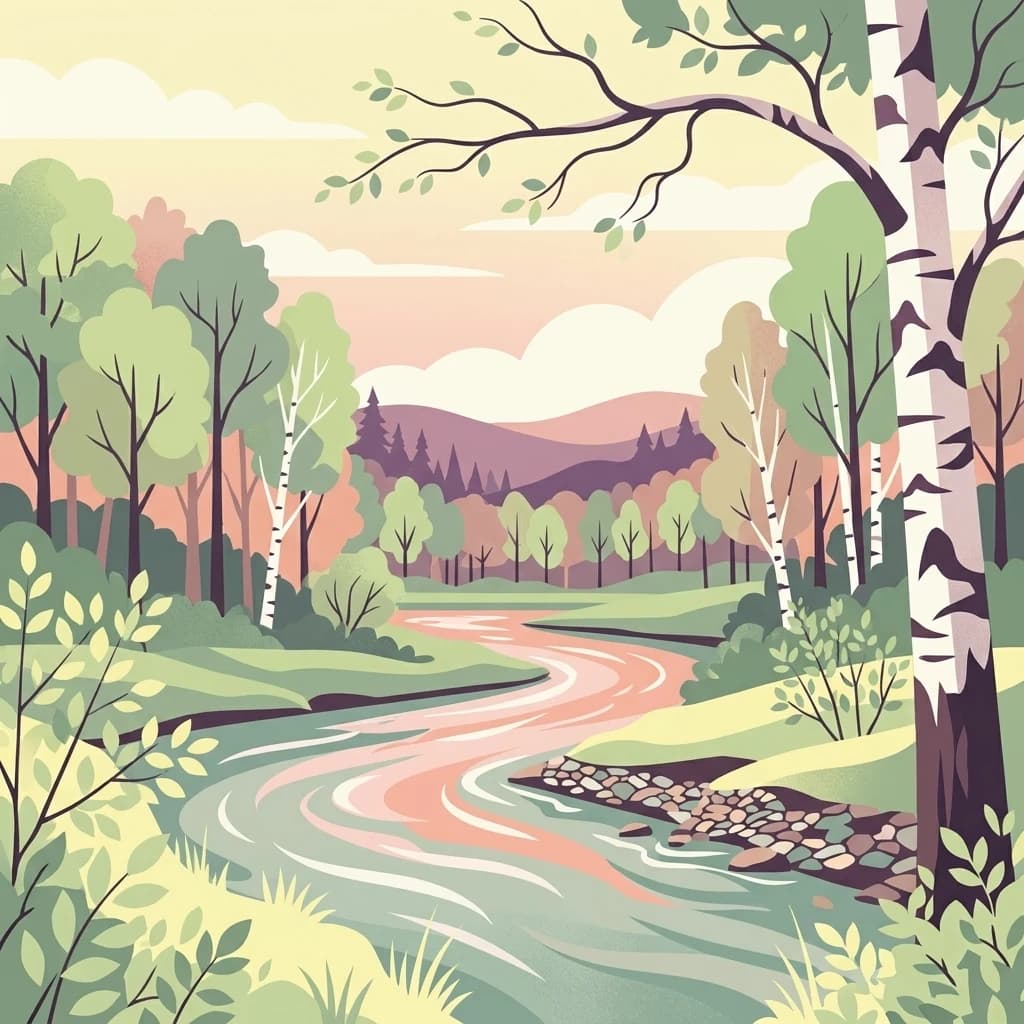
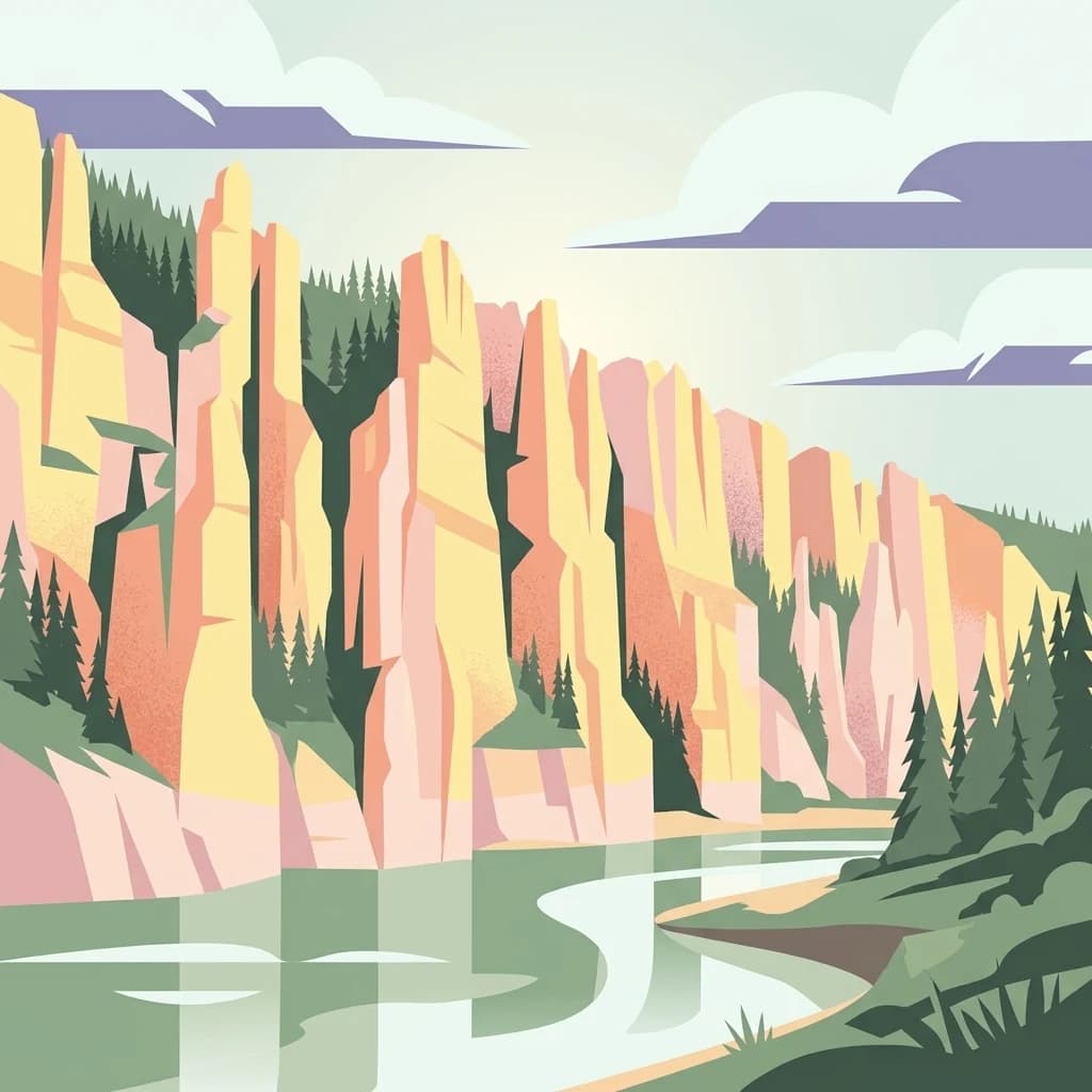
Lena Pillars, in Sakha Republic, Russia. Landscapes: rivers and cliffs.
- Area
- 13,870 km²
- IUCN
- II
- Relief
- Lowland
- Climate
- Subpolar
Map the distribution of protected landscapes across the Sakha Republic
Compare protected areas near Lena Pillars National Park, ordered by geographic distance. They include Lena Pillars and Tokinsko-Stanovoy.

A striking complex of towering Cambrian limestone cliffs rising along the Lena River in central Yakutia.
Lena Pillars National Park protects one of the most visually distinctive geological formations in eastern Siberia: a long wall of vertically oriented limestone cliffs stretching along the right bank of the Lena River through the Prilenskoye Plateau in the Sakha Republic (Yakutia). The cliffs reach dramatic heights above the river, cut by deep valley erosion and shaped over hundreds of thousands of years into pinnacles, ridges, towers, and isolated rock masses. Beyond the headline rock formations, the park preserves a large tract of taiga, river, and permafrost territory that extends across several administrative districts of Yakutia. The park is best known internationally for its UNESCO World Heritage status, which it received in 2012 under the natural criterion, recognizing the geological and landscape significance of the rock complex along the Lena. The protected area combines iconic scenery, boreal forest ecosystems, traditional Evenk land use, and important paleontological and archaeological discoveries including ancient human occupation sites. In its modern form, the park was reorganized in 2018 as a full national park of the Russian Federation, building on an earlier regional nature park that had existed since 1994. Today it functions both as a conservation area and as a regional center for ecological tourism along one of Russia's great Arctic-bound rivers.
See the ranked park cluster in its geographic setting
Explore surrounding regional park geography and measured distance rankings

East
Explore the regional landscape and park boundaries.
Lena Pillars, in Sakha Republic, Russia. Landscapes: rivers and cliffs.

South
National Park in Amur Oblast, Russia
Delve into the specifics of Tokinsko-Stanovoy National Park, a designated national park within Amur Oblast. This entry provides essential context on its protected landscape characteristics and its place in the regional geography. Understand the park's mapped boundaries and discover its natural terrain as part of a larger atlas-driven exploration of protected areas in the Russian Far East.

Southwest
Analyzing alpine terrain and Siberian taiga ecosystems
Kodar National Park presents a striking array of Siberian ecosystems, including the northernmost desert environment known as the Chara Sands, extensive taiga forests, and rugged volcanic terrain on the Udokan Plateau. This geographic resource details the park's distinct sectors, tracing the boundaries of its alpine cirques, glaciers, and mountainous corridors that characterize the Zabaykalsky Krai landscape.

Southeast
Mapping protected marine and island geography in Khabarovsk Krai.
Shantar Islands National Park represents a significant protected landscape within Khabarovsk Krai, notable for its dramatic coastal geography, mountainous terrain, and rich marine ecosystems. This national park, encompassing a chain of islands in the Sea of Okhotsk, is a vital habitat for marine mammals and seabird colonies. Explore its mapped boundaries and unique regional atlas context, understanding its role as a protected coastal area in the Russian Far East.

Southwest
Mapping the Svyatoy Nos peninsula and Barguzin mountain landscapes
Spanning over 269,000 hectares, Zaybaykalsky National Park protects a dramatic transition from the shores of Lake Baikal to high-altitude mountain complexes. This atlas resource details the park's steep topography, characterized by ancient taiga forests and geological features like the Academician Ridge and marble-limestone islands, offering a structured view of this significant Siberian protected area.

Northeast
Exploration of permafrost terrain in the Sakha Republic
Situated in the Sakha Republic, Kytalyk National Park protects nearly 1.9 million hectares of low-lying Arctic coastal tundra. The park provides an essential look at intact polar environments, featuring thermokarst landforms, extensive peat bogs, and critical nesting grounds for migratory bird species across the Siberian landscape.

Southwest
Coastal mountain terrain and the freshwater ecosystems of Irkutsk Oblast.
Located in Russia, Pribaikalsky National Park represents a primary protected area within the Lake Baikal basin. The region features dramatic topographical transitions from the Primorsky Range to the inland expanse of Olkhon Island. This record provides a detailed look at the park's physical geography, including its forest cover, coastal cliffs, and the significant role of the Angara River outflow in shaping the surrounding Siberian terrain.

Southeast
Ecological corridors from the Amur River to the Sikhote-Alin mountains.
Anyuysky National Park represents a critical, remote expanse in the Russian Far East. Its boundaries protect a continuous gradient of habitats, linking the flat wetlands of the Amur River floodplain with the forested slopes of the Sikhote-Alin highlands. The park serves as a key area for habitat preservation and environmental mapping.

Southwest
Protected mountain landscapes in Russia's Zabaykalsky Krai
Alkhanay National Park preserves a unique transitional landscape where rugged mountain terrain meets the expansive Siberian steppe. Focused on the sacred Mount Alkhanai, the area features dramatic rock landforms, pine-covered canyons, and mineral springs. This protected zone provides a deep look into the geological and ecological history of the Mogotuyskogo Range and surrounding border regions.
Southwest
Protected landscape boundaries within Dornod Province
An authoritative overview of the Mongol Daguur protected area, focusing on its role as a core element of the Daurian landscape. Discover the spatial distribution of its steppe habitats, wetland systems, and mountain-grassland terrain that define this eastern Mongolian region.
Southwest
Mapping the transboundary freshwater wetlands of Dornod Province
Buir Lake occupies a expansive depression in the eastern Mongolian steppe, characterized by its shallow seasonal hydrology and fringing marshlands. This protected area serves as a primary geographic feature within Dornod Province, linking regional steppe systems and migratory bird corridors. The site offers a clear look at the interplay between water and grassland in a unique transboundary setting.

Southwest
Explore its protected boundaries and unique taiga-steppe transition in Zabaykalsky Krai.
Chikoy National Park, a protected area in Russia's Zabaykalsky Krai, showcases the rugged geography of the Khentei-Daur Highlands. As a national park, it preserves the upper Chikoy River basin and represents a significant ecological borderland, marking the transition from Siberian taiga to Mongolian steppe. This page facilitates a structured understanding of the park's mapped landscape, its prominent natural monument Bystrinsky Golets, and its role within the broader atlas of protected natural areas.

Southeast
Old-growth forest wilderness in the Sikhote-Alin range
Bikin National Park, in Primorsky Krai, Russia. Landscapes: forests, rivers, and mountains.

South
Protected river valleys and forest foothills in Dornod Province
Spanning the easternmost edge of Mongolia, Numrug National Park showcases a layered landscape where mountainous woodland merges with open grassland. The park's hydrological character, defined by the Degee and Khalkh rivers, creates a complex network of riparian habitat that serves as a vital ecological boundary within the broader Dornod Province terrain.
Geographic measurements, not driving distances
Calculated between the nearest points of both park boundaries.
Estimated from one mapped park location to the nearest boundary of the other park.
Estimated between the mapped locations of both parks.
Explore the map, landscapes, and protection details for Lena Pillars National Park.