Mori Atlas logo
Nearby park discovery

Regional mapping of protected lands and natural landscapes in Western Ukraine

National Parks and Protected Areas Surrounding Lower Polissia National Nature Park

Identify protected areas and wilderness landscapes located within the geographic vicinity of Lower Polissia National Nature Park. This mapped overview provides context for regional ecological corridors and forest-wetland complexes spanning across the western Ukrainian landscape.

Stylized illustration of a mountain landscape with a waterfall, river, evergreen trees, and colorful sky with sun

Wetland and forest sanctuary in western Ukraine's Polissia region

Lower Polissia National Nature Park

Lower Polissia National Nature Park is a protected area in western Ukraine, established in 2013 in the Polissia region of Khmelnytskyi Oblast. The park encompasses approximately 8,762 hectares of diverse landscapes including forest complexes, wetland areas, several lakes, and sections of the Horyn, Viliia, and Hnylyi Rih river valleys. Located near the city of Slavuta, the park represents a significant ecological corridor within the broader Polissia landscape zone, which spans parts of western Ukraine, Belarus, and Poland. The protected area falls under IUCN Category II and is managed by the State Forest Agency of Ukraine through its Khmelnytskyi Regional Forestry and Hunting Department.

Location
Ukraine
Park type
National park
Established
2013
Area
87.6 km²
Lower Polissia National Nature Park Atlas
Regional park map

See the ranked park cluster in its geographic setting

Nearby parks around Lower Polissia National Nature Park

This regional map shows the same 20 nearby parks ranked below around Lower Polissia National Nature Park. Select a ranked marker to highlight that park’s boundary where boundary data is available.
Reference park: Lower Polissia National Nature ParkRanked nearby park20 nearby parks shown
20 nearby parks

Geographic separation, regional context, and environmental comparison metrics

Ranked Protected Areas and Surrounding Parks Near Lower Polissia National Nature Park

Examine the ranked collection of nearby protected areas situated at varying geographic distances from Lower Polissia National Nature Park for structural comparison. Analyzing surrounding park environments and regional proximity patterns reveals broader conservation contexts across the wider landscape.
National parkRivne Oblast
About 26 km away#1 closest

Northwest

Derman, Ostroh National Nature Park: Geographic Atlas of a Ukrainian National Park

Explore its protected boundaries and landscape context.

Delve into the detailed atlas information for Derman, Ostroh National Nature Park, a designated national nature park located in Ukraine's Rivne Oblast. This resource illuminates the park's specific geographic footprint, its protected land status, and its contribution to the regional landscape. Understand its terrain and mapped features, offering a clear point of discovery for those interested in the geography of Ukrainian protected areas.

Area
16 km²
Established
2009
IUCN
II
Relief
Mixed relief
Watercolor illustration of a landscape with rolling hills, a river, scattered trees, and distant mountains.
National parkTernopil Oblast
About 62 km away#2 closest

West

Kremenets Mountains National Nature Park National Park: Geographic and Protected Landscape Atlas

Mapped boundaries and regional natural terrain context.

Delve into the specifics of Kremenets Mountains National Nature Park, a protected area designated as a national park in Ukraine's Ternopil Oblast. This MoriAtlas entry focuses on its role as a distinct geographic entity, providing mapped boundaries and context within the regional landscape. Understand its protected status and how it contributes to the natural geography of western Ukraine, offering a structured point for atlas-based discovery.

Area
162 km²
Established
1999
IUCN
II
Relief
Mixed relief
Watercolor painting showing rolling hills, trees, and a body of water
National parkVolyn Oblast
About 104 km away#3 closest

Northwest

Tsumanska Pushcha National Nature Park: Protected Landscape and Regional Geography in Volyn Oblast

UA National Park with Mapped Boundaries and Terrain Context

Delve into Tsumanska Pushcha National Nature Park, a designated national park in Volyn Oblast, Ukraine. This entry provides detailed atlas-style information on the park's protected landscape identity, its mapped geographic setting, and its significance within the regional geography of Northwestern Ukraine. Understand the park's boundaries and its place in the natural terrain.

Area
334.75 km²
Established
2010
IUCN
II
Relief
Lowland
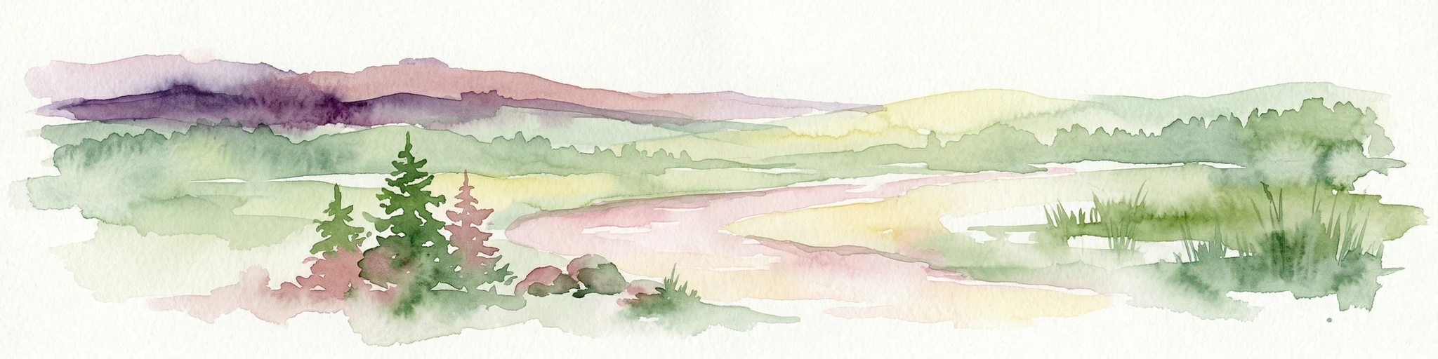
A minimalist watercolor painting showing rolling green hills and distant mountain ridgelines in soft pastel tones of green and violet against a white background.
Protected areaAlbania
About 123 km away#4 closest

West

Primeval Beech Forests of the Carpathians and Other Regions of Europe: Protected Area and Forest Atlas

A transnational network of old growth beech forest reserves across Europe.

Examine the geographic distribution and protected boundaries of the Primeval Beech Forests of the Carpathians and Other Regions of Europe. This site highlights the continent's most intact beech forest ecosystems, illustrating essential ecological processes from the Balkans and Carpathians to the Alps and Western Europe.

Area
583.53 km²
Established
2007
Relief
Mountain
Access
Access unknown
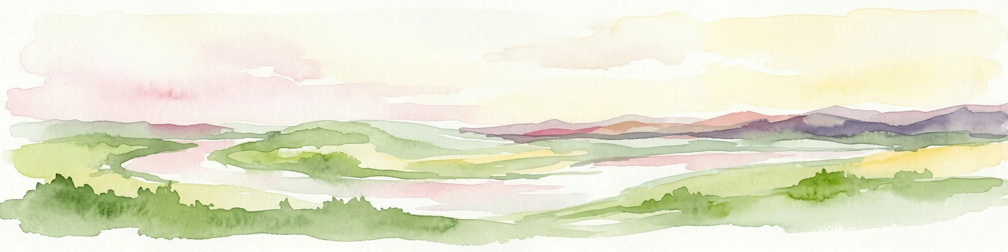
Watercolor painting showing green hills, pink fields, and purple mountains under a pale sky
National parkLviv Oblast
About 129 km away#5 closest

West

Northern Podillia National Nature Park: Protected Area Mapping and Regional Geography

Explore unique karst features and ancient forests in Lviv Oblast.

Northern Podillia National Nature Park is a protected national park in Lviv Oblast, Ukraine, safeguarding a significant area of the Podolian Upland. The park is distinguished by its ancient beech forests, rare karst lakes known as the Blue Windows, and geological formations reflecting ancient sea reefs. This page serves as a dedicated atlas entry for understanding the park's mapped boundaries, its ecological significance, and its place within the regional geography of western Ukraine.

Area
156 km²
Established
2009
IUCN
II
Relief
Highland
Watercolor painting of a river, hills, and trees in a natural landscape.
National parkKhmelnytskyi Oblast
About 186 km away#6 closest

South

Podilski Tovtry National Nature Park: Mapped Limestone Ridges and Regional Geography

Explore this protected national park in Khmelnytskyi Oblast.

Podilski Tovtry National Nature Park is a vast protected area in western Ukraine, recognized for its distinctive Tovtry limestone ridge and intricate river canyon systems. This national park offers a rich geographic context for understanding the natural landscape of Khmelnytskyi Oblast, featuring unique geological formations and diverse habitats. Its protected status highlights the importance of its conservation value and its role within regional natural resource management, making it a key destination for atlas-based geographic discovery.

Area
2,613.16 km²
Established
1996
IUCN
II
Relief
Highland
Watercolor illustration of a winding river through rolling green hills with distant mountains under a soft sky
National parkTernopil Oblast
About 192 km away#7 closest

Southwest

Dniester Canyon National Nature Park: National Park Protected Landscape and Geographic Context

Mapped boundaries and regional geography in Ternopil Oblast

Delve into the protected landscape of Dniester Canyon National Nature Park, a designated national park in Ukraine. This entry offers a structured view of the park's geographic setting within Ternopil Oblast, focusing on its mapped boundaries and its role as a significant protected natural area. Understand its placement within the broader atlas of Ukrainian natural landscapes and regional geography, offering a factual basis for exploration.

Area
108 km²
Established
2010
IUCN
II
Relief
Mixed relief
National parkIvano-Frankivsk Oblast
About 194 km away#8 closest

Southwest

Halych National Nature Park: Ivano-Frankivsk Oblast National Park Atlas & Geography

Mapped protected boundaries and landscape context.

Halych National Nature Park is a vital protected area situated in the Ivano-Frankivsk Oblast of Ukraine, characterized by its transitional landscape where Carpathian foothills merge with the East European Plain. This national park offers a rich tapestry of environments, including oak-hornbeam and oak-beech forests, vital wetlands, and scarce steppe remnants, creating a mosaic of habitats mapped meticulously within the MoriAtlas platform. Explore the park's geographic identity, its diverse terrain, and its significance as a conservation landscape for understanding regional biodiversity.

Area
147 km²
Established
2004
IUCN
II
Relief
Lowland
Watercolor illustration of a mountainous landscape with green hills, trees, and a river valley
National parkUkraine
About 197 km away#9 closest

South

Khotyn National Nature Park: Ukraine's National Park Atlas and Protected Landscape

Explore geographic boundaries and natural terrain.

Delve into the details of Khotyn National Nature Park, a protected national park situated within Ukraine. This entry offers precise geographic insights, focusing on the park's mapped terrain and its role as a significant protected landscape. Discover the regional context and understand its distinct natural features, providing a structured view for atlas-based exploration of Ukrainian protected areas.

Area
94 km²
Established
2010
IUCN
II
Relief
Mixed relief
Watercolor painting of a river valley landscape with meadows, distant hills, and soft-colored sky
National parkUkraine
About 210 km away#10 closest

Northwest

Prypiat, Stokhid National Nature Park: National Park Geography & Protected Landscape

Mapped boundaries and regional natural context in Ukraine.

Gain structured insight into Prypiat, Stokhid National Nature Park, a protected national park in Ukraine. This entry details its geographic footprint and landscape features, offering a foundation for understanding its role within the broader atlas of protected areas. Explore the mapped terrain and regional context that defines this significant natural landscape.

Area
393.155 km²
Established
2007
IUCN
II
Relief
Lowland
Protected areaLublin Voivodeship
About 220 km away#11 closest

Northwest

Poleska Dolina Bugu Protected Landscape: Mapped Atlas and Geographic Overview

Key Natura 2000 river valley site in Lublin Voivodeship

Poleska Dolina Bugu is a regionally vital protected area comprising six connected enclaves along the Bug River. The site features a mosaic of oxbow lakes, alkaline fens, molinia meadows, and riparian woodlands that define the lowland geography of eastern Poland. Access structured data on this Habitats Directive site to understand its surface composition, floodplain connectivity, and specialized conservation habitats.

Area
81.732 km²
Relief
Lowland
Scope
Terrestrial
Water
Major water bodies
National parkLviv Oblast
About 224 km away#12 closest

West

Yavoriv National Nature Park: Protected Landscape and Regional Geography in Lviv Oblast

Mapped protected area boundaries and natural terrain context.

Yavoriv National Nature Park is a designated national park within Lviv Oblast, Ukraine. This page provides detailed geographic information, focusing on the park's protected landscape identity and its mapped terrain. Understanding its location in Western Ukraine, near the Carpathian gateway, offers valuable context for atlas-based exploration of protected areas and natural features within the region.

Area
71.08 km²
Established
1998
IUCN
II
Relief
Highland
Protected landscapeLublin Voivodeship
About 225 km away#13 closest

Northwest

Strzelecki Park Krajobrazowy: Protected Landscape Geography and Mapped Natural Terrain

A forest-rich protected area along the Bug River in Poland.

Strzelecki Park Krajobrazowy is defined by its extensive pine forests and the expansive valley of the Bug River. This protected landscape contains a network of oxbow lakes, diverse wetland pockets, and vital bird habitats, mapping a distinct ecological corridor within the Lublin Voivodeship region of eastern Poland.

Area
120.26 km²
Established
1983
Relief
Lowland
Scope
Terrestrial
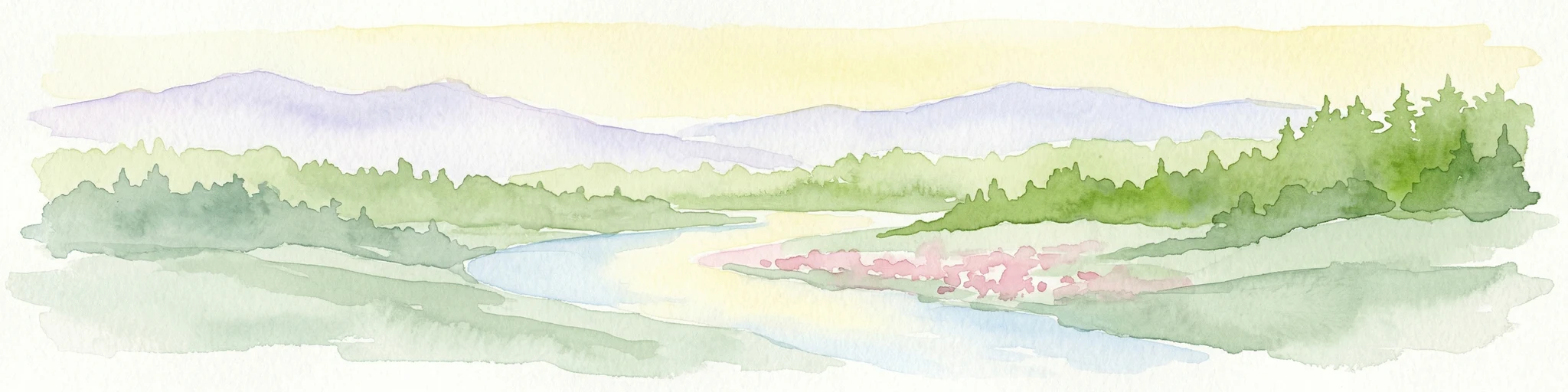
Watercolor painting of a river valley surrounded by forests and mountains
National parkBelarus
About 231 km away#14 closest

Northeast

Prypyatski National Park: Belarus Protected Area and Mapped Landscape Context

National park details for geographic exploration.

Delve into the specifics of Prypyatski National Park, a designated national park in Belarus. This detailed entry focuses on its protected landscape characteristics, mapped geographic boundaries, and its significance within the broader atlas of European protected areas. Understand the terrain and regional context of this important natural conservation zone.

IUCN
II
Protected areaPodkarpackie Voivodeship
About 232 km away#15 closest

West

Uroczyska Roztocza Wschodniego: Protected Area and Forested Ridge Geography

Extensive forest sanctuary in the Podkarpackie Voivodeship

Uroczyska Roztocza Wschodniego comprises vast, compact forest tracts on the Eastern Roztocze, defined by high-value woodland communities including beech and oak-hornbeam forests. The area functions as a critical protected landscape that supports diverse fauna and complex hydrological corridors within a significant regional conservation network.

Area
58.1 km²
Established
2011
Relief
Upland
Climate
Temperate
Nature reserveLublin Voivodeship
About 240 km away#16 closest

Northwest

Żmudź Nature Reserve: A Protected Mosaic of Xerothermic Grassland and Calcareous Terrain

Calcareous habitat protection in the Lublin Voivodeship

Żmudź represents a highly specific protected landscape in southeastern Poland, focused on the conservation of rare xerothermic grassland communities and calcareous soil formations. This site serves as a vital ecological record of the Lublin Upland, featuring a distinct texture of juniper thickets, open rock outcrops, and sun-exposed limestone slopes that support diverse plant populations.

Area
0.441 km²
Established
2011
Relief
Lowland
Scope
Terrestrial
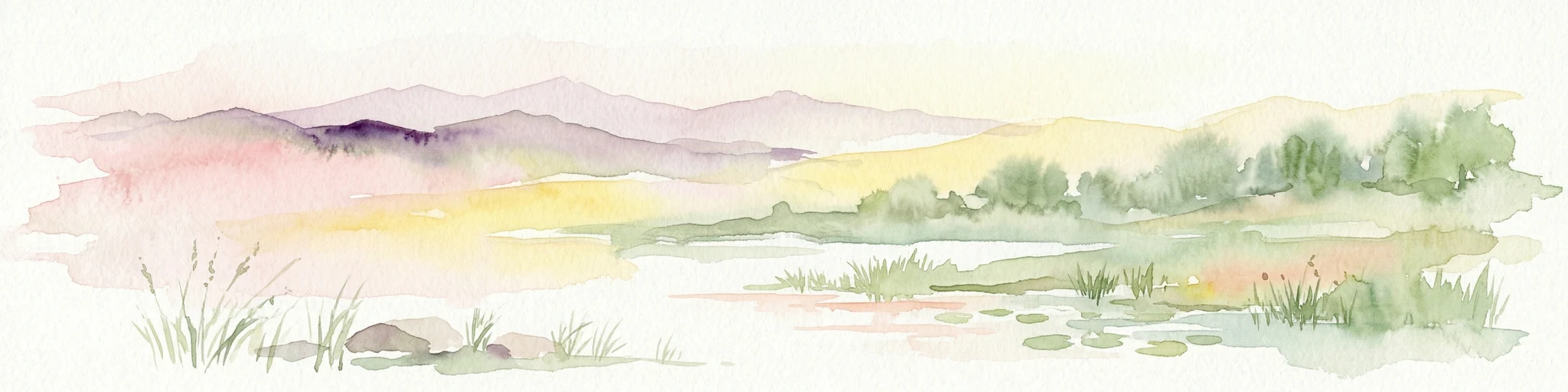
Watercolor illustration of a landscape with mountains, trees, a river, and fields
National parkUkraine
About 245 km away#17 closest

Southwest

Hutsulshchyna National Park: National Park of Ukraine's Carpathian Mountains

Discover mapped protected landscapes and regional geography.

Explore Hutsulshchyna National Park, a designated national park within Ukraine's Carpathian Mountains. This protected area showcases representative Carpathian forest ecosystems and mountain terrain, offering significant insight into the region's natural landscape and geographic context. The park's boundaries protect rolling slopes and river valleys, contributing to the ecological richness of the Eastern Carpathians. MoriAtlas provides structured data for understanding its place within the national and regional atlas.

IUCN
II
Scope
Terrestrial
Nature reservePoland
About 248 km away#18 closest

West

Rezerwat przyrody Minokąt Nature Reserve: Geography, Forest Terrain, and Mapping

Protected Carpathian forest within the Roztocze landscape

Located in the Narol commune, Rezerwat przyrody Minokąt protects a rare, mature Carpathian fir-beech forest ecosystem. The reserve provides a critical study in regional geography, characterized by rolling upland terrain and fertile woodland soils that anchor the broader Roztocze Protected Landscape Area and regional conservation efforts.

Area
0.231 km²
Established
1996
Relief
Upland
Scope
Terrestrial
Nature reservePoland
About 251 km away#19 closest

West

Uroczyska Puszczy Solskiej: Protected Forest and Peatland Landscape in Eastern Poland

Natura 2000 nature reserve encompassing diverse lowland forest mosaics

Uroczyska Puszczy Solskiej spans over 34,000 hectares of eastern Poland, forming a vital protected mosaic of raised bogs, transitional mires, and varied forest communities. This area provides a crucial reference for peatland and wetland ecology, supporting a wide range of forest-dependent species within a landscape shaped by glacial and fluvial processes.

Area
346.715 km²
Established
2009
Relief
Lowland
Climate
Temperate
Watercolor painting showing a mountainous landscape with green hills, vegetation, and a valley
National parkChernivtsi Oblast
About 255 km away#20 closest

Southwest

Vyzhnytsia National Nature Park: Protected National Park Landscape Exploration

Mapped boundaries and regional terrain in Chernivtsi Oblast.

Delve into the specific protected landscape of Vyzhnytsia National Nature Park, a designated national park in Ukraine's Chernivtsi Oblast. This detailed entry provides context on its geographic positioning, mapped natural features, and the surrounding regional terrain, aiding in structured atlas exploration and understanding its significance within the protected areas network.

Area
7,928.4 km²
Established
1995
IUCN
II
Relief
Mountain
Distance methodology

Geographic measurements, not driving distances

How nearby park distances are calculated

Distances use park boundaries whenever the available geometry allows it. When one or both boundaries are missing, the mapped park locations provide a clearly labelled estimate. Every value represents straight-line geographic separation and does not use roads or routing.

Boundary distance

Calculated between the nearest points of both park boundaries.

Location-to-boundary estimate

Estimated from one mapped park location to the nearest boundary of the other park.

Mapped-location estimate

Estimated between the mapped locations of both parks.

MoriAtlas Explorer

Continue Atlas Exploration of Lower Polissia National Nature Park's Geography

Deepen your understanding of Lower Polissia National Nature Park by exploring its specific geographic context within Ukraine. MoriAtlas provides structured data to analyze the park's mapped terrain, wetland ecosystems, and their relation to the broader Polissia region, facilitating detailed landscape discovery.