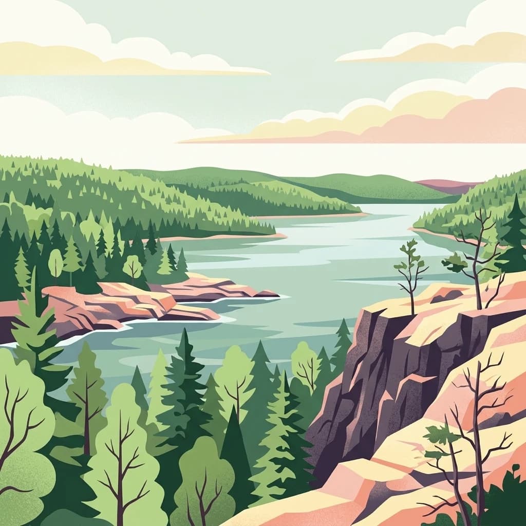
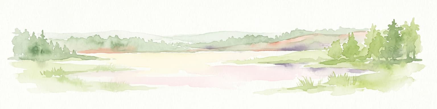
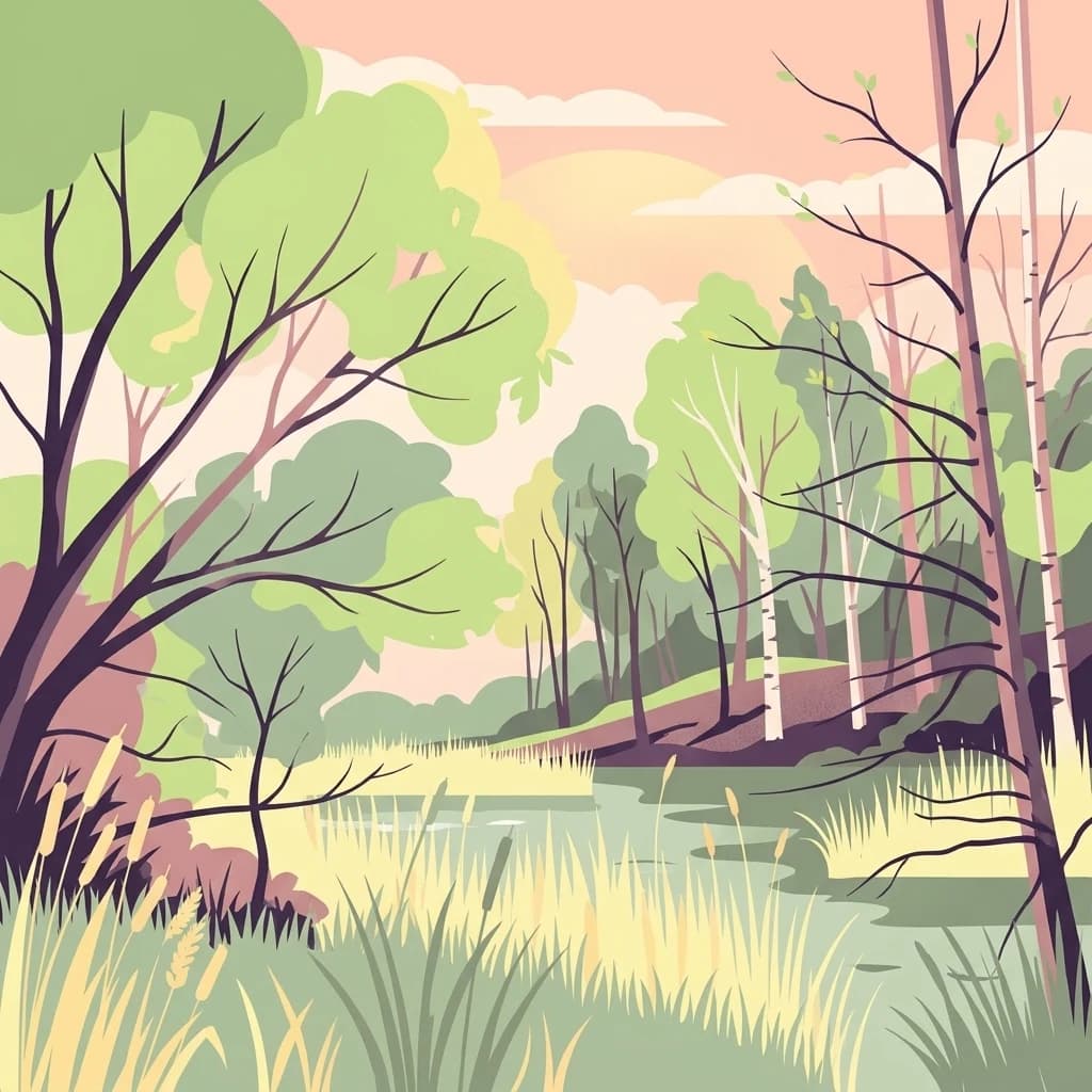
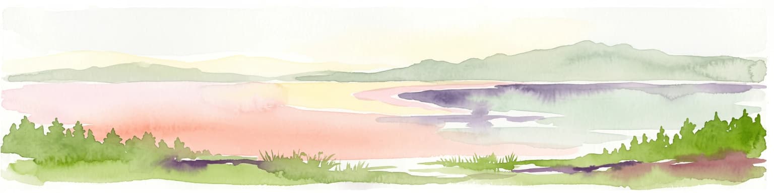
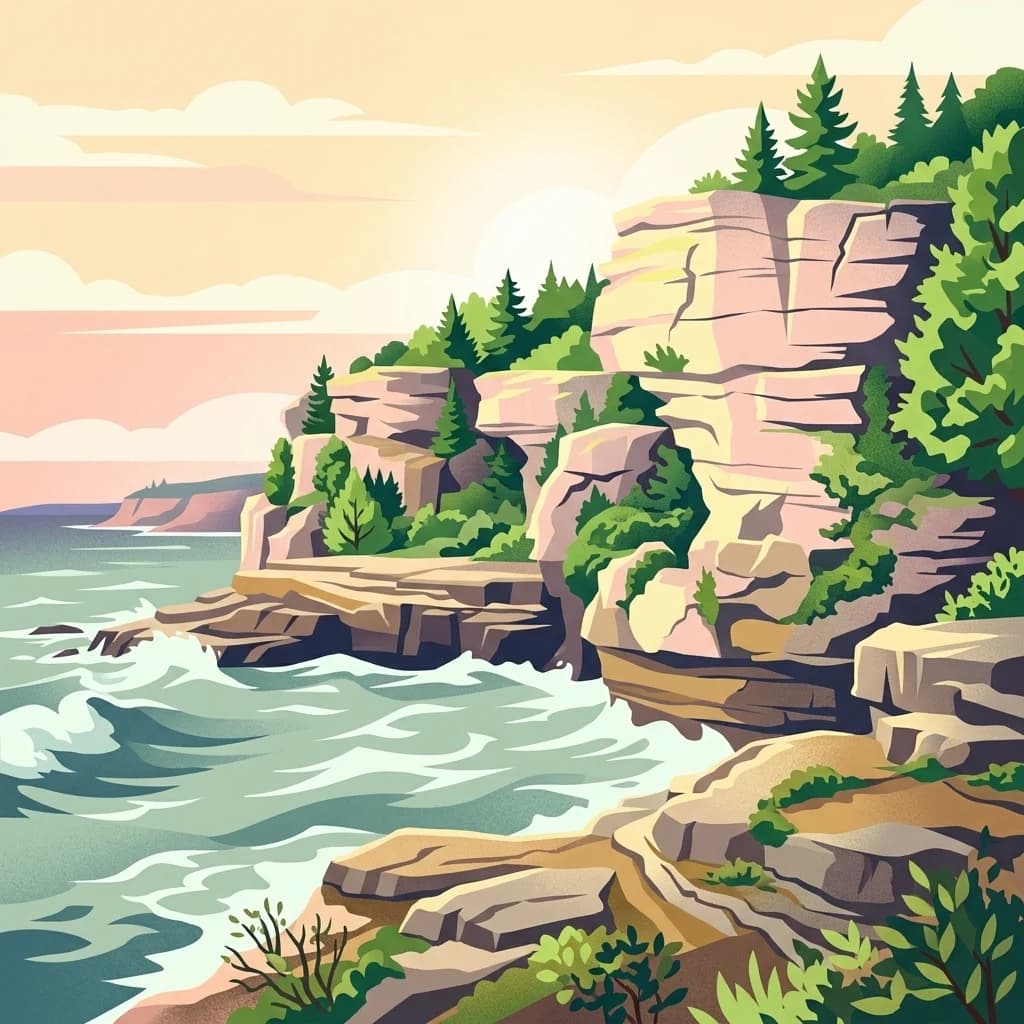
America's first national lakeshore, where colored sandstone cliffs meet the wild shoreline of Lake Superior.
Pictured Rocks National Lakeshore
Pictured Rocks National Lakeshore is a U.S. National Lakeshore on the Upper Peninsula of Michigan, stretching roughly 42 miles along the southern shore of Lake Superior between the communities of Munising and Grand Marais. The park protects an extraordinary meeting of land and water: hilly forests, dune systems, river valleys, and a long chain of sandstone cliffs whose vivid colors give the lakeshore its name.
The defining feature is a 13-mile section of brightly stained sandstone cliffs northeast of Munising, where mineral-rich groundwater has painted the rock face in streaks of red, yellow-brown, pink-green, and black-white. Sculpted by waves and weather into arches, shallow caves, and turret-like formations, these cliffs form one of the most recognizable shoreline landscapes in the Great Lakes region.
Designated by the U.S. Congress in 1966 as the country's first national lakeshore, Pictured Rocks protects a representative slice of a vanishing Great Lakes shoreline along with its waterfalls, dunes, inland lakes, and forested uplands. It remains one of the most visited protected areas in Michigan, drawing hikers, kayakers, boat tour passengers, ice climbers, and snowmobilers across all four seasons.