Mori Atlas logo
Nearby park discovery

Explore regional geographic distribution and adjacent conservation landscapes

Protected Areas and Surrounding Natural Landscapes Near Remutaka Forest Park

Examine the geographic context of Remutaka Forest Park by browsing nearby protected areas and conserved lands across the Wellington Region. This overview highlights the spatial relationship between diverse hill country reserves, river valleys, and forest ecosystems. Use these regional maps to understand the wider distribution of protected terrain and natural landscapes in the lower North Island.

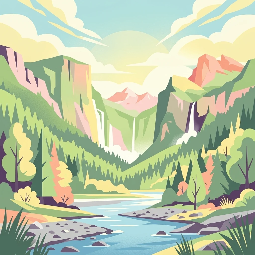
An illustration of a lush mountain valley featuring steep cliffs, cascading waterfalls, a winding river, and coniferous forests under a soft, light-filled sky.

A hill country forest reserve between Wellington and the Wairarapa, threaded by river valleys and a historic rail incline.

Remutaka Forest Park

Remutaka Forest Park is a protected hill country reserve in the southern North Island of New Zealand, established in 1972 and administered by the Department of Conservation. It sits within the Remutaka Range between Lower Hutt and the Wairarapa, covering roughly 22,000 hectares of forested ridgelines, river valleys, and regenerating bush. The park is closely tied to the surrounding regional network of conservation lands, bordering Pakuratahi Forest and the broader Tararua Range to the north. The landscape is shaped by deeply cut valleys such as the Catchpool Valley and the Ōrongorongo Valley, which carry short walking tracks, camping areas, and back country huts. The park is well known for the Remutaka Rail Trail, a converted nineteenth-century railway route used today for walking and mountain biking, and for native wildlife programmes that have rebuilt a population of North Island brown kiwi in the upper catchments. Beyond recreation, Remutaka Forest Park plays an important conservation role, hosting rare fungi species and acting as a refuge for native birdlife in one of the most accessible hill ranges near the Wellington region. Its accessibility, combined with a layered history of forest protection, rail heritage, and ecological restoration, gives the park a strong identity as both a regional recreation hub and a significant natural area for the lower North Island.

Location
New Zealand
Park type
Protected landscape
Established
1972
Area
220 km²
Remutaka Forest Park Landscape Atlas
Regional park map

See the ranked park cluster in its geographic setting

Nearby parks around Remutaka Forest Park

This regional map shows the same 20 nearby parks ranked below around Remutaka Forest Park. Select a ranked marker to highlight that park’s boundary where boundary data is available.
Reference park: Remutaka Forest ParkRanked nearby park20 nearby parks shown
20 nearby parks

Distance ranked regional park geography and surrounding protected landscapes

Parks and Protected Areas Geographically Near Remutaka Forest Park

Examine the ranked collection of protected areas situated geographically near Remutaka Forest Park across the surrounding regional terrain. These spatial relationships and recorded environmental metrics provide structured comparison signals for exploring broader conservation patterns across the country.
Regional parkWellington Region
About 9.1 km away#1 closest

North

Wainuiomata Regional Park: Geography and Protected Area Atlas

River valley terrain in the Wellington Region

Wainuiomata Regional Park is a protected river valley setting featuring significant lowland native forest, historic water infrastructure, and restored wetland habitats. This landscape provides a critical link in the conservation geography of the Wellington Region, connecting to extensive forest remnants and supporting a variety of native ecosystems within the Wainuiomata catchment.

Relief
Mixed relief
Water
Major water bodies
Wildlife reserveWellington Region
About 11 km away#2 closest

North

Wainuiomata Water Collection Area: Protected Forest Terrain and Wellington Catchment Geography

Mapping the native forest canopy and river catchments of New Zealand.

The Wainuiomata Water Collection Area remains a vital conservation landscape, preserving deep river valleys and mature podocarp-broadleaf forest within the Wellington Region. This wildlife reserve functions as a major ecological hub, featuring continuous native bush that supports intensive predator control and species recovery efforts. Its geographic integrity provides a unique perspective on protected catchment management and pristine lowland wilderness in the southern North Island.

Water
Major water bodies
Nature reserveWellington
About 23 km away#3 closest

West

Te Kopahou Reserve: Nature Reserve Geography and Coastal Landscapes in Wellington

A rugged intersection of forested hills, ridgelines, and coastal cliffs.

Situated on the southern edge of Wellington, Te Kopahou Reserve offers a diverse protected landscape ranging from the summit of Hawkins Hill to the iconic red rocks of the Cook Strait shoreline. This nature reserve provides a critical geographic transition, hosting regenerating native bush, exposed ridgeline trails, and vital habitats for local wildlife, making it a prominent example of regional conservation land on the North Island of New Zealand.

Area
6 km²
Relief
Mountain
Climate
Temperate
Access
Easy access
Protected landscapeWellington Region
About 30 km away#4 closest

Northwest

Whitireia Park: Coastal Headland and Protected Landscape in the Wellington Region

Explore mapping of coastal terrain, forests, and harbour boundaries.

Whitireia Park is a prominent coastal reserve in the Wellington Region that balances deep Ngāti Toa cultural significance with a unique geological history shaped by centuries of earthquake uplift. The headland features open grasslands, remnant kohekohe forest, and ongoing wetland restoration that offers a layered view of New Zealand's natural and social history across its accessible harbour-edge geography.

Area
1.8 km²
Established
1976
Relief
Upland
Climate
Temperate
A horizontal watercolor painting showing a calm river winding through green banks with coniferous trees in the background, set against a soft, light-filled sky.
Nature reserveWellington Region
About 41 km away#5 closest

North

Hutt Water Collection Area: Protected Mountain Nature Reserve in the Wellington Region

Forested catchment geography and mountain wilderness

The Hutt Water Collection Area covers 8,900 hectares of steep ridge and valley terrain in the southern Tararua Range. This nature reserve serves as a essential water catchment for the Wellington Region, protecting a diverse environment of native forest, alpine tussock, and sub-alpine bogs. Explore the mapped geography of this critical protected landscape and its role as a sanctuary for rare plant species and native birds.

Area
89 km²
Established
1951
Relief
Mountain
Climate
Temperate
A soft watercolor painting of a rolling green landscape with distant hills and foreground vegetation on a plain white background.
Nature reserveWairarapa
About 59 km away#6 closest

Northeast

Fensham Reserve: Protected Lowland Forest Geography and Conservation Mapping in Wairarapa

An essential lowland sanctuary for ancient podocarp and swamp forest ecosystems

Fensham Reserve preserves 48 hectares of significant native forest in the southern North Island of New Zealand. This nature reserve provides essential landscape context for rare kahikatea and pukatea associations, while serving as a crucial wetland refuge for endangered species like the brown mudfish. The area remains a key reference point for understanding regional forest restoration and the protection of long-standing ecological fragments.

Area
0.48 km²
Established
1957
Relief
Lowland
Climate
Temperate
Marine protected areaMarlborough Region
About 64 km away#7 closest

Northwest

Long Island-Kokomohua Marine Reserve: Mapped Geography and Protected Reef Systems

Explore marine boundaries in the Marlborough Region

Located at the entrance to Queen Charlotte Sound, Long Island-Kokomohua Marine Reserve encompasses significant island and submerged reef features. This protected area serves as an essential site for understanding coastal ecosystem restoration, featuring varied terrain from shallow near-shore reefs to deeper rocky pinnacles that support diverse marine populations.

Area
6.19 km²
Established
1993
Relief
Lowland
Climate
Temperate
Protected landscapeNew Zealand
About 67 km away#8 closest

Northeast

Tararua Forest Park: Protected Landscape Geography and Mapped Natural Terrain

Defining the rugged mountain spine of New Zealand's southern North Island

Covering the core of the Tararua Range, this protected landscape represents a vital ecological corridor in New Zealand. The terrain offers a diverse gradient of native forests, steep river valleys, and windswept alpine ridges. It serves as a primary example of forest conservation and complex mountain geography within the island nation's larger network of protected lands.

Area
1,149.93 km²
Established
1954
Relief
Mountain
Climate
Temperate
A horizontal watercolor illustration depicting rolling green hills, scattered trees, and soft, muted tones against a plain white background.
Nature reserveMarlborough Sounds
About 68 km away#9 closest

Northwest

Motuara Island Nature Reserve: Protected Landscape and Geographic Discovery

Marlborough Sounds Coastal Reserve and Sanctuary

Motuara Island is a significant nature reserve characterized by its regenerating forest, rugged coastline, and elevated summit lookout. Serving as a sanctuary for native birds and a landmark of colonial and Māori history, this 59-hectare island remains a central point of geographic interest within the Marlborough Sounds ria system.

Area
0.59 km²
Established
1976
Relief
Upland
Climate
Temperate
Protected landscapeMarlborough Region
About 87 km away#10 closest

West

Mount Richmond Forest Park: Geography and Protected Landscapes in the Marlborough Region

Expansive native bush and mountain peak terrain

Mount Richmond Forest Park stands as one of the largest protected forest areas on the South Island of New Zealand. Dominated by dense native bush and rugged subalpine ridges, the park offers a complex topography of river valleys and high-altitude peaks, including its namesake Mount Richmond. It serves as a vital conservation landscape and a core segment of the regional geography between Nelson and the Marlborough district.

Area
1,659 km²
Established
1977
Relief
Mountain
Scope
Terrestrial
Nature reserveNew Zealand
About 100 km away#11 closest

West

Maud Island Nature Reserve: Geographic Overview and Protected Coastal Landscape

A pivotal conservation sanctuary in the Marlborough Sounds region

Maud Island represents a critical protected area in the Pelorus Sound of New Zealand. Defined by 320 hectares of forested, hilly terrain and a unique narrow isthmus, the island serves as a foundational refuge for species recovery. Its sheltered maritime setting makes it a key feature of the Marlborough Sounds geography and an essential location for scientific ecological research.

Area
3.2 km²
Established
1971
Relief
Upland
Climate
Temperate
Nature reserveMarlborough Region
About 114 km away#12 closest

Northwest

Stephens Island (New Zealand) Nature Reserve: Geography and Protected Land Overview

Maritime sanctuary and ecological refuge in Marlborough Region

Stephens Island (New Zealand) acts as a rugged, compact island refuge in the Cook Strait, defined by steep terrain rising to 283 metres. As a critical nature reserve managed by Ngāti Koata and the Department of Conservation, this site offers profound insights into isolated island ecosystems, evolutionary endemic species, and the geological processes of the Maitai Group.

Area
1.5 km²
Established
1966
Relief
Upland
Climate
Temperate
Marine protected areaCanterbury
About 164 km away#13 closest

Southwest

Hikurangi Marine Reserve: Protected Marine Geography and Submarine Canyon Systems

Exploring the coastal reefs and deep trench environments of Canterbury

Hikurangi Marine Reserve represents a core protected landscape within the New Zealand marine atlas. Centered on the Kaikoura Canyon, the reserve features a sharp transition from rocky shoreline reefs to deep-sea environments that support a high density of cetaceans and seabirds. This map-focused profile examines the physical boundaries and unique oceanographic conditions that define this essential no-take marine zone.

Area
104.16 km²
Established
2014
IUCN
Ia
Relief
Lowland
National parkTasman District
About 168 km away#14 closest

West

Abel Tasman National Park: Coastal Protected Landscape and Mapped Geography in Tasman District

New Zealand's smallest national park offering iconic coastal hiking and wildlife.

Delve into the mapped boundaries and unique geography of Abel Tasman National Park, New Zealand's smallest national park located in the Tasman District. This protected landscape features renowned golden beaches, forested hills, and vital island ecosystems. Explore its coastal trails, understand its ecological restoration context, and appreciate its historical significance as a site of early European and Māori interaction, making it a key destination for atlas-driven geographic discovery.

Area
237.1 km²
Established
1942
IUCN
II
Relief
Upland
Watercolor painting of mountains, green valleys, and a winding river under a soft sky
National parkWest Coast Region
About 176 km away#15 closest

West

Kahurangi National Park: A National Park of Ancient Geology and Diverse Protected Landscapes in New Zealand

Explore the mapped natural terrain and regional geographic context.

Kahurangi National Park is distinguished by its extraordinary geological diversity, representing New Zealand's finest Paleozoic rock sequence and expansive karst features. Covering a vast area in the West Coast Region, it protects a remarkable array of natural landscapes, from coastal cliffs and nikau palm forests to alpine tussock basins and deep gorges. This national park is crucial for understanding New Zealand's natural heritage, offering a rich tapestry of mapped terrain and protected biodiversity for dedicated geographic exploration.

Area
5,193 km²
Established
1996
IUCN
II
Relief
Mixed relief
National parkNew Zealand
About 179 km away#16 closest

West

Nelson Lakes National Park: Alpine Geography and Glacial Lakes Atlas

Explore New Zealand's protected mountain terrain and natural landscapes.

Nelson Lakes National Park provides a deep dive into a dramatic alpine environment situated at the northern edge of New Zealand's Southern Alps. This national park is characterized by its striking glacial lakes, Rotoiti and Rotoroa, and the extensive mountain ranges that surround them, offering a rich context for understanding protected land distribution. Explore the park's mapped geography, its distinct beech forest ecosystems, and the rugged natural terrain that makes it a significant feature within the broader South Island landscape.

Area
1,018.8 km²
Established
1956
IUCN
II
Relief
Mountain
National parkNew Zealand
About 181 km away#17 closest

North

Whanganui National Park: Protected Wilderness Landscape and Geographic Context

Explore the mapped boundaries and natural terrain of this national park.

Whanganui National Park offers a unique blend of natural wilderness and significant cultural history, centered on the Whanganui River valley. This protected area safeguards one of New Zealand's most extensive lowland forest ecosystems, providing vital habitat and showcasing a landscape deeply intertwined with Māori traditions and historical settlement. Understanding its geographical setting and mapped protected boundaries reveals its importance as a distinct national park.

Area
742 km²
Established
1986
IUCN
II
Relief
Lowland
National parkNew Zealand
About 220 km away#18 closest

North

Tongariro National Park: New Zealand's Premier Volcanic National Park Atlas

Explore mapped terrain, active volcanoes, and unique dual World Heritage values.

Tongariro National Park, situated in New Zealand's North Island, is a globally significant protected area celebrated for its dramatic volcanic landscapes and profound cultural heritage. As the nation's oldest national park, it features three active volcanoes: Mount Ruapehu, Mount Ngauruhoe, and Mount Tongariro, set within a diverse terrain that includes forests, alpine zones, and the Rangipo Desert. Its dual World Heritage status underscores its importance for both natural attributes and its sacred cultural landscape, offering rich opportunities for geographic and atlas exploration.

Area
795.96 km²
Established
1887
IUCN
II
Relief
Mountain
Protected landscapeNew Zealand
About 225 km away#19 closest

West

North-west Nelson Forest Park: Exploring the Tasman Region Protected Landscape Boundaries

A mapped overview of scattered conservation blocks in South Island, New Zealand.

North-west Nelson Forest Park provides an atlas-style perspective on the evolution of public conservation land in the Tasman region. Once a continuous wilderness, the remaining forest park is characterized by a series of excluded parcels that now border the Kahurangi National Park. This site documents the terrain and geographic distribution of these disparate forest blocks, offering insight into the legacy of land management and protected area formation within the northern South Island.

Established
1970
A watercolor painting showing soft, rolling green mountains and forest lines under a bright, light-filled sky.
Protected landscapeHawke's Bay
About 231 km away#20 closest

Northeast

Kaweka Forest Park: Protected Landscape and Mountain Geography in Hawke's Bay

High-altitude alpine terrain and forest reserve mapping

Kaweka Forest Park represents a massive block of protected country in the central North Island, defined by the Kaweka Range and its prominent 1,724-metre summit. The landscape shifts from managed pine plantations to rugged, dissected mountain ridges, offering a unique study in New Zealand's interior geography, native ecological restoration, and geothermal features like the Mangatutu Hot Springs.

Area
594.26 km²
Established
1972
Relief
Mountain
Climate
Temperate
Distance methodology

Geographic measurements, not driving distances

How nearby park distances are calculated

Distances use park boundaries whenever the available geometry allows it. When one or both boundaries are missing, the mapped park locations provide a clearly labelled estimate. Every value represents straight-line geographic separation and does not use roads or routing.

Boundary distance

Calculated between the nearest points of both park boundaries.

Location-to-boundary estimate

Estimated from one mapped park location to the nearest boundary of the other park.

Mapped-location estimate

Estimated between the mapped locations of both parks.

MoriAtlas Explorer

Analyze the Protected Landscape and Geography of Remutaka Forest Park

Continue your geographic exploration by examining the terrain and conservation zones of Remutaka Forest Park. Discover how this reserve fits into the broader network of protected lands across the Wellington Region. MoriAtlas provides detailed context on the ridgelines and valleys that define this significant New Zealand natural area.

Global natural geography