Mori Atlas logo
Nearby park discovery

Explore the regional landscape context and mapped proximity of nearby protected natural lands

Geographic Distribution of Protected Areas Near Shushensky Bor National Park in Siberia

Identify the natural landscapes and protected zones situated in the geographical vicinity of Shushensky Bor National Park. This regional overview highlights the spatial distribution and relative positioning of neighboring conservation areas within the southern Siberian terrain of Krasnoyarsk Krai.

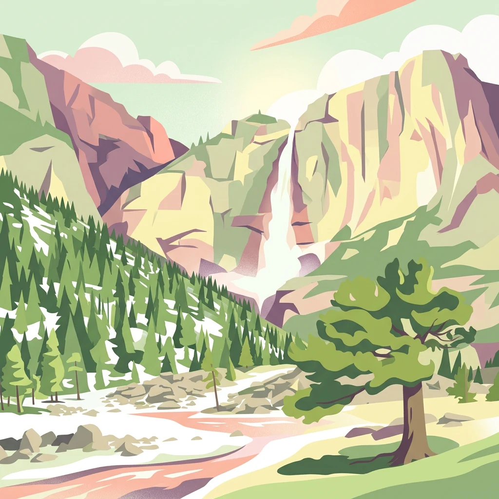
Illustration of a mountainous landscape featuring a waterfall, forested slopes, a river, and a prominent tree in the foreground

Siberian taiga and forest-steppe reserve in the Western Sayan foothills

Shushensky Bor National Park

Shushensky Bor National Park is a protected natural area in the extreme southwest of Siberia, spanning the transition between two distinct ecological zones in the northern foothills of the Western Sayan Mountains. The park encompasses approximately 39,180 hectares of diverse terrain, divided into two representative forest sections that illustrate the ecological gradation from Siberian forest-steppe to mountain taiga. Located in the Shushensky District of Krasnoyarsk Krai, the park serves as both a conservation reservoir for biodiversity and a destination for hikers and ecotourists seeking to experience the remote wilderness of southern Siberia. The park's geography is defined by its position at the ecological boundary between the Minusinsk basin forest-steppe in the north and the mountainous conifer forests of the Western Sayan range in the south. The southern mountain section is particularly notable for its dramatic backdrop—the Sayano-Shushenskoye Reservoir, created by Russia's largest hydroelectric dam, forms the western and southern boundaries of this portion of the park. This reservoir, sometimes called the "Sayan Sea," provides a striking aquatic counterpoint to the forested slopes and alpine peaks within the park boundaries.

Location
Russia
Park type
National park
Established
1995
Area
392 km²
Highest point
2,309 m
Shushensky Bor National Park Protected Landscape
Regional park map

See the ranked park cluster in its geographic setting

Nearby parks around Shushensky Bor National Park

This regional map shows the same 20 nearby parks ranked below around Shushensky Bor National Park. Select a ranked marker to highlight that park’s boundary where boundary data is available.
Reference park: Shushensky Bor National ParkRanked nearby park20 nearby parks shown
20 nearby parks

Ranked regional park geography and surrounding protected landscapes

Parks and protected areas geographically near Shushensky Bor National Park

Browse protected areas positioned geographically near Shushensky Bor National Park through a distance-ranked collection of regional park geography. Examining these surrounding landscapes reveals diverse environmental patterns and border contexts across southern Siberia.
National parkKemerovo Oblast
About 215 km away#1 closest

West

Shorsky National Park: Mapping Mountain Taiga and Protected Forest Landscapes

A comprehensive look at Gornaya Shoria geography

Shorsky National Park protects the rugged wilderness of the Altai-Sayan mountain system. Its territory showcases a dramatic topography shaped by the Mras-Su river and thick forests of Siberian stone pine and fir, offering an essential view into the biodiversity and environmental character of the southern Siberian landscape.

Area
4,138.43 km²
Established
1989
IUCN
II
Relief
Mountain
Watercolor painting of a river flowing through a valley with forested hills and distant mountains
National parkTashtagolsky District
About 215 km away#2 closest

West

Shorsky National Park: Protected Taiga and Karst Landscapes in Tashtagolsky District

Mapping the mountainous wilderness of southern Siberia

Shorsky National Park protects vast swathes of dark taiga forest and dramatic karst features across 4,180 square kilometers of rugged mountain terrain. Explore the geography of this Siberian region, featuring over 60 named caves, deep river valleys, and significant rock formations that define the natural character of the Tashtagolsky District.

Area
4,180 km²
Established
1989
IUCN
II
Relief
Mountain
Watercolor painting showing pinkish rock pillars, green forests, and distant mountains in a landscape
National parkKrasnoyarsk Krai
About 346 km away#3 closest

North

Krasnoyarsk Pillars National Park: Geographic Atlas and Protected Landscape Exploration

Discover mapped terrain and regional park context in Siberia.

This detailed entry for Krasnoyarsk Pillars National Park offers an in-depth look at its identity as a protected landscape within Krasnoyarsk Krai. It provides structured geographic information, focusing on mapped boundaries and the park's position within the vast Siberian terrain. Users can leverage this data for atlas exploration, gaining a clear understanding of the park's physical dimensions and its role in the regional geography of Russia. Explore the unique landscape character and mapped context of this significant national park.

Area
471.54 km²
Established
2019
IUCN
II
Visitors
200K annual
National parkЯмало-Ненецкий автономный округ
About 346 km away#4 closest

North

Красноярские Столбы National Park: Atlas Mapping of Siberian Syenite Rock Formations

Protected Eastern Sayan mountain taiga and unique geologic pillars

Красноярские Столбы National Park encompasses a sprawling mountain landscape where eroded syenite towers pierce through dense fir taiga. This protected territory provides a detailed look at the interface between the Eastern Sayan range and the Central Siberian Plateau, showcasing dramatic rock architecture and complex river-carved valleys that support diverse Siberian flora and fauna.

Area
472.19 km²
Established
1925
IUCN
II
Visitors
700K annual
Watercolor painting showing a river flowing through a forested area with distant hills, using soft green, blue, and yellow tones
National parkAltai Krai
About 353 km away#5 closest

West

Salair National Park: Mapped Protected Landscape and Geographic Features in Altai Krai

Discover the unique dark taiga terrain and relict flora.

Salair National Park is a significant protected area in Altai Krai, Russia, renowned for its exceptionally biodiverse dark taiga forests, often called the "rainforest of Siberia." Established in 2020, the park spans the western slopes of the Salair Ridge, covering about 161,000 hectares of gentle low mountain terrain. Its landscape is characterized by rounded mountains, a network of ravines, and the preservation of pre-glacial relict plant species. This national park offers a vital contrast to the surrounding agricultural areas, highlighting its role in conserving unique Siberian forest ecosystems and their historic flora.

Area
1,612 km²
Established
2020
IUCN
II
Relief
Upland
Watercolor painting showing green mountains, valleys, and a winding river under a light sky
National parkAltai Republic
About 414 km away#6 closest

Southwest

Saylyugemsky National Park: Discover its Protected Landscape and Geographic Significance in Altai Republic

Mapped boundaries and regional landscape context within the Altai Republic.

Delve into Saylyugemsky National Park, a designated national park situated within the vast geographic expanse of Russia's Altai Republic. This canonical page provides detailed insights into its protected landscape, meticulously mapped boundaries, and its contribution to the regional geography. MoriAtlas focuses on structured geographic discovery, enabling a deeper understanding of Saylyugemsky National Park's place within the atlas of protected areas and natural landscapes.

Area
1,183.8 km²
Established
2012
IUCN
II
Relief
Mountain
National parkUvs Province
About 419 km away#7 closest

South

Khyargas Lake National Park: Geography and Protected Area Mapping in Western Mongolia

A comprehensive look at saline and freshwater steppe ecosystems.

Khyargas Lake National Park, situated in Uvs Province, offers a rare glimpse into the saline and freshwater lake systems of the Mongolian steppe. This protected area encompasses an endorheic basin characterized by its wide, open shoreline and unique ecological contrast. Use our atlas to analyze the mapped terrain and the expansive, undisturbed wetlands that define this notable region of western Mongolia.

Area
3,328 km²
Established
2000
Relief
Lowland
Climate
Arid
National parkUvs Province
About 432 km away#8 closest

Southeast

Khan-Khokhi Khyargas Mountain National Park: Mapped Boundaries and Protected Landscape

Uvs Province National Park Geography

Khan-Khokhi Khyargas Mountain National Park is a designated national park offering critical insights into Mongolia's protected natural landscapes. This entry supports structured geographic discovery, detailing the park's mapped boundaries and its environmental context within Uvs Province. Engage with the park's identity as a protected area, uncovering its role in the regional atlas and its unique contribution to the mapped terrain.

Area
3,413 km²
Established
2000
IUCN
II
Relief
Mountain
Protected areaUvs Province
About 446 km away#9 closest

South

Airag Lake Protected Area: Geographic Context and Steppe Wetland Mapping

Hydrological features within the Uvs Province regional landscape

Airag Lake serves as a critical freshwater habitat in the Uvs Province of western Mongolia. This detailed overview covers the lake's shallow basin, its seasonal thermal patterns, and the outflow canal connecting it to the broader Great Lakes Depression system, providing an essential look at this unique steppe wetland environment.

Area
143.3 km²
Established
1999
National parkBayan-Ölgii Province
About 450 km away#10 closest

South

Tsambagarav Uul National Park: Mapped Protected Landscape in Bayan-Ölgii

Explore its geographic context and park boundaries.

Tsambagarav Uul National Park offers a detailed look at a significant protected landscape situated in Mongolia's western Bayan-Ölgii Province. This national park's boundaries are mapped to provide context within the broader Altai Mountains region. Users can explore the park's geographic setting, understanding its contribution to the protected natural areas of western Mongolia and its significance for regional landscape studies.

Area
1,110 km²
Established
2000
IUCN
II
Relief
Mountain
National parkBayan-Ölgii Province
About 452 km away#11 closest

Southwest

Altai Tavan Bogd National Park: Protected Mountainous Landscape in Bayan-Ölgii

Explore mapped geography and protected terrain.

Altai Tavan Bogd National Park, situated in Mongolia's Bayan-Ölgii Province, offers a detailed view of a significant protected natural area. This park is defined by its mountainous geography, forming a key part of the Altai range. Users can explore its mapped boundaries and understand its role as a protected landscape within the western Mongolian atlas.

Area
6,362 km²
Established
1996
IUCN
II
Relief
Mountain
Watercolor painting of a river flowing through forested hills with mountains in the background under a sunset sky
National parkEast Kazakhstan Region
About 461 km away#12 closest

Southwest

Katon-Karagay National Park: Discover Kazakhstan's Largest Protected Mountain Landscape

Explore the geography and park boundaries of East Kazakhstan's premier national park.

Katon-Karagay National Park, the largest national park in Kazakhstan, offers a deep dive into the protected landscapes of the Southern Altai Mountains. This page provides essential geographic context, detailing the park's terrain, its significance as a protected area within East Kazakhstan Region, and its role in mapping the natural contours of this ecologically diverse mountain system. Understand the park's boundaries and its contribution to regional conservation.

Area
6,435 km²
Established
2001
IUCN
II
Relief
Mountain
Watercolor illustration of a lake with mountains in the background, surrounded by trees and grass
National parkMongolia
About 497 km away#13 closest

South

Har Us Nuur National Park: A Mapped Protected Landscape in Mongolia's Vast Geography

Explore the geography and atlas context of this national park.

Har Us Nuur National Park is a designated national park offering a unique protected landscape within Mongolia. This page provides context for exploring its geographic features, mapped boundaries, and its significance within the broader atlas of protected areas in East Asia. Understanding Har Us Nuur National Park contributes to a structured appreciation of Mongolia's natural terrains and regional conservation landscapes.

Area
8,503 km²
Established
1997
Relief
Mixed relief
Climate
Arid
National parkKhovd Province
About 497 km away#14 closest

South

Khar Us Nuur National Park: Geographic and Protected Area Map of Western Mongolia

Wetland habitats and mountain-fed basins in Khovd Province

Khar Us Nuur National Park offers a comprehensive view of the Great Lakes Basin ecology, where freshwater delta inflows meet saline lakes and high mountain catchments. The park is defined by its diverse terrain, ranging from the extensive Agbash island and reed-fringed shorelines to the prominent southern slopes of the Altai Mountains. This protected area is essential for understanding the hydrological and ecological connectivity of the region.

Area
8,503 km²
Established
1997
IUCN
II
Relief
Mixed relief
National parkZavkhan Province
About 563 km away#15 closest

Southeast

Ulaagchinii Khar Nuur National Park: Protected National Park in Zavkhan Province

Mapped landscape context and regional geographic setting.

As a dedicated national park, Ulaagchinii Khar Nuur National Park serves as a key protected area within Zavkhan Province. This detail page provides an atlas-oriented view of its mapped boundaries and its role in the regional geography of western Mongolia. Understand the park's specific protected landscape characteristics and its contribution to the mapped natural terrain of the Khangai Mountain region.

Area
2,594 km²
Established
2010
IUCN
II
Relief
Mixed relief
Nature reserveKazakhstan
About 574 km away#16 closest

Southwest

West Altai State Nature Reserve: Protected Mountain Taiga and Alpine Geography in Kazakhstan

An ecological atlas of the Western Altai mountain system

Spanning the Ivanovsky and Uba ranges, this nature reserve protects a diverse terrain of mountain taiga, glacial cirques, and high-mountain bogs. It remains a key conservation landscape for Central Asian biodiversity, anchoring the headwaters of the Uba River within a striking environment of granite pillars and alpine meadows.

Area
861.22 km²
Established
1992
Relief
Mountain
Climate
Boreal
Nature reserveEast Kazakhstan Region
About 598 km away#17 closest

Southwest

Markakol Nature Reserve: Mapping the Protected Mountain Landscapes of East Kazakhstan

High-altitude glacial lake and alpine tundra ecosystems

Markakol Nature Reserve protects a remote tectonic depression within the Southern Altai. The area features a complex vertical zonation of fir and spruce forests, subalpine meadows, and alpine tundra, centered around the pristine and ecologically significant Lake Markakol. This protected site serves as a vital study of the intersection between Siberian boreal influences and high-mountain steppe biodiversity.

Area
1,029.71 km²
Established
1976
IUCN
Ia
Relief
Mountain
Nature reserveXinjiang
About 628 km away#18 closest

Southwest

Altay Kokesu Wetland National Nature Reserve: Protected Landscape and Regional Map

A diverse wetland corridor in the Xinjiang region

Spanning over 300 square kilometers, the Altay Kokesu Wetland National Nature Reserve represents a key protected entity within the Altai grasslands. This area supports a unique hydrological convergence of the Irtysh and Kran rivers, resulting in a rare ecological mosaic of meadows, marshes, and desert-steppe transition zones. Users can explore the reserve's topography and its critical role in maintaining water-fed habitats for regional bird populations.

Area
306.67 km²
Established
2001
Relief
Lowland
Climate
Arid
National parkBayan-Ölgii Province
About 638 km away#19 closest

South

Munkhkhairkhan National Park: Alpine Glacial Landscape & Protected Area

Explore the mapped geography of western Mongolia's high peaks.

Munkhkhairkhan National Park protects the dramatic alpine environment surrounding Mönkhkhairkhan Mountain, Mongolia's second-highest peak. This national park showcases spectacular glacial valleys and steep, rock-strewn slopes characteristic of the Mongol-Altai Mountains. As a key protected landscape in Bayan-Ölgii Province, it offers a distinct view into Mongolia's high-elevation ecosystems and their unique mapped boundaries for atlas exploration.

Area
5,061 km²
Established
2011
IUCN
II
Relief
Mountain
National parkKhövsgöl Province
About 644 km away#20 closest

East

Lake Khövsgöl National Park: Geography and Protected Area Landscape Analysis

Highland taiga and ancient freshwater basin in Khövsgöl Province

Analyze the complex geography of Lake Khövsgöl National Park, which protects a massive, ultraoligotrophic waterbody surrounded by the rugged Sayan Mountains. The area serves as a vital ecological transition zone, containing diverse alpine, forest, and aquatic terrains that form a central part of Mongolia's natural heritage.

Area
2,760 km²
Relief
Mountain
Climate
Alpine
Access
Remote access
Distance methodology

Geographic measurements, not driving distances

How nearby park distances are calculated

Distances use park boundaries whenever the available geometry allows it. When one or both boundaries are missing, the mapped park locations provide a clearly labelled estimate. Every value represents straight-line geographic separation and does not use roads or routing.

Boundary distance

Calculated between the nearest points of both park boundaries.

Location-to-boundary estimate

Estimated from one mapped park location to the nearest boundary of the other park.

Mapped-location estimate

Estimated between the mapped locations of both parks.

MoriAtlas Explorer

Continue Mapping Shushensky Bor National Park's Protected Landscape Context

Delve deeper into the geography and protected area atlas of Shushensky Bor National Park. Understanding its position within Krasnoyarsk Krai provides critical context for its unique ecological transition, from forest-steppe to mountain taiga. By examining its mapped boundaries and terrain, you can better appreciate the natural landscapes preserved here and their significance in the broader Siberian context. This exploration reinforces MoriAtlas's commitment to structured geographic discovery of protected areas worldwide.