Mori Atlas logo
Nearby park discovery

Geographic discovery of adjacent wilderness areas and regional mountain terrain

Protected Areas and Surrounding Natural Landscapes Near Sierra de Tamaulipas, Mexico

Explore the broader ecological context of the Sierra de Tamaulipas by identifying nearby protected lands and mountain massifs. This overview maps the surrounding geography of the Tamaulipan plains, providing a spatial perspective on regional conservation areas and distinct natural terrain features located within this part of northeastern Mexico.

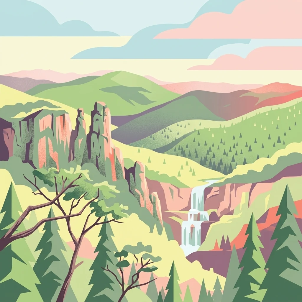
A colorful digital illustration depicting a mountain landscape with green hills, rocky cliffs, pine trees in the foreground, and a waterfall in the distance under a sky with pink and blue clouds.

An isolated semi-tropical sky island of oak and pine in northeastern Mexico.

Sierra de Tamaulipas

Sierra de Tamaulipas is an isolated, semi-tropical mountain range in the Mexican state of Tamaulipas, separated from the Sierra Madre Oriental and rising high enough to act as a sky island of cooler, wetter conditions amid the surrounding semi-arid lowlands. Its elevation ranges roughly from 300 to about 1,260 metres, supporting a striking ecological gradient that descends from pine-oak forests at the highest elevations through montane scrub to tropical deciduous forest and finally into the Tamaulipan thorn scrub of the surrounding plains. The range is geographically and culturally significant as the northern outpost of Mesoamerican agricultural civilization in eastern Mexico. Archaeological evidence points to maize cultivation dating to around 2,500 BCE and to Huastec settlements between roughly 300 and 550 CE, while nomadic, non-agricultural peoples occupied the drier lands to the north. In December 2016, the Mexican government declared the Sierra de Tamaulipas a Protected Natural Area, formalizing conservation attention on its forest ecosystems, its karst landscapes with deep cenotes, and its archaeological heritage. No major highways cross the range and there are no cities within it, leaving the Sierra in a largely rural, lightly populated state. This isolation, combined with its height-driven climate and vegetation patterns, gives the Sierra a biological and cultural profile that is unusually distinct within the otherwise dry northeastern Mexican landscape.

Location
Mexico
Park type
Protected area
Established
2016
Area
3,339 km²
Highest point
1,260 m
Sierra de Tamaulipas Protected Area Atlas
Regional park map

See the ranked park cluster in its geographic setting

Nearby parks around Sierra de Tamaulipas

This regional map shows the same 20 nearby parks ranked below around Sierra de Tamaulipas. Select a ranked marker to highlight that park’s boundary where boundary data is available.
Reference park: Sierra de TamaulipasRanked nearby park20 nearby parks shown
20 nearby parks

Distance-ranked collection and regional landscape comparison for Sierra de Tamaulipas

Parks and Protected Areas Geographically Near Sierra de Tamaulipas

Explore protected areas located near Sierra de Tamaulipas through direct geographic measurements and structured spatial proximity rankings. Review surrounding regional park geography to compare recorded environmental characteristics across neighboring conservation zones.
Biosphere reserveSan Luis Potosí
About 124 km away#1 closest

Southwest

Sierra del Abra-Tanchipa Biosphere Reserve: Geography and Protected Area Map Context

Rugged sierra terrain in the Huasteca Potosina region of Mexico

Sierra del Abra-Tanchipa forms a continuous block of protected natural territory in eastern San Luis Potosí, featuring steep ridges and limestone-influenced karst topography. As an established biosphere reserve, this area serves as a primary example of conservation within the Huasteca Potosina, preserving an important transition zone of tropical vegetation and complex mountain landforms.

Area
214.64 km²
Established
1994
Scope
Terrestrial
Wildlife reserveTamaulipas
About 234 km away#2 closest

North

Laguna Madre Wildlife Reserve: Geography and Protected Coastal Landscapes of Tamaulipas

Mapping the hypersaline lagoons and barrier island chains of Mexico

Laguna Madre represents a singular coastal ecosystem characterized by its extreme salinity, expansive seagrass meadows, and sheltered barrier island configuration. As a vital protected wetland, the area serves as a primary migratory flyway and habitat for diverse shorebirds and sea turtles, revealing a distinct arid coastal landscape along the Tamaulipas shore.

Area
5,728.08 km²
Established
2005
IUCN
VI
Relief
Lowland
National parkSan Luis Potosí
About 249 km away#3 closest

Southwest

El Potosí National Park: Detailed Protected Area Geography and Landscape Context

Explore its mapped boundaries within San Luis Potosí.

Uncover the protected landscape of El Potosí National Park, a designated national park situated in San Luis Potosí, Mexico. This entry offers a detailed perspective on its geographic significance, providing insights into its mapped boundaries and regional natural terrain. Understand how this protected area contributes to the broader atlas of natural landscapes in Mexico, ideal for geographic discovery.

Area
20 km²
Established
1936
IUCN
II
Relief
Mountain
Watercolor painting of a coastal reef landscape with muted green and yellow tones against a white background, showing a distant island or reef structure with a lighthouse or tower silhouette.
Marine protected areaVeracruz
About 267 km away#4 closest

Southeast

Sistema Arrecifal Lobos-Tuxpan: Protected Marine Landscape and Regional Reef Geography

Mapping the northernmost coral reef system of the Mexican Gulf Coast.

The Sistema Arrecifal Lobos-Tuxpan marine protected area spans roughly 30,000 hectares of diverse underwater terrain off the coast of Veracruz. This complex includes the Lobos and Tuxpan polygons, which host extensive reef formations and a rare sandy cay habitat that supports significant nesting activity for marine turtles. The system remains a key focal point for understanding the limits of coral growth in the Gulf of Mexico and the broader ecological structure of the Mexican coastline.

Area
305.71 km²
Established
2009
Relief
Lowland
Climate
Tropical
National parkMexico
About 277 km away#5 closest

South

Los Mármoles National Park: Detailed Protected Landscape within Mexico's National Park Atlas

Explore the mapped boundaries and regional geography of this unique protected area.

Understand Los Mármoles National Park as a distinct protected landscape, integral to Mexico's atlas of natural areas. This park offers a unique geographic context, with its mapped boundaries providing a clear reference for its protected status. Delve into the regional landscape and discover the importance of this national park for conservation and geographic study.

IUCN
II
National parkMexico
About 304 km away#6 closest

Southwest

El Gogorrón National Park: National Park Protected Landscape and Geography

Mapped boundaries and regional atlas context in Mexico

El Gogorrón National Park is a protected natural area designated as a National Park within Mexico. This entry provides essential details for understanding its geographic significance, mapped boundaries, and its role in the country's conservation landscape. Discover the park's contribution to regional geography and its structured representation within the MoriAtlas exploration platform.

Area
250 km²
Established
1936
IUCN
II
Relief
Mountain
National parkMexico
About 310 km away#7 closest

Northwest

Cumbres de Monterrey National Park: National Park Protected Landscape Discovery

Explore Mexico's Mapped Terrain and Regional Geography

Understand Cumbres de Monterrey National Park as a distinct protected landscape within Mexico. This page provides detailed atlas-oriented information focused on its geographic boundaries, mapped terrain, and its role in regional conservation. It serves as a valuable entry point for exploring the park's natural context and understanding its place in the national geography.

Area
1,773.96 km²
Established
1939
IUCN
II
Relief
Mountain
Protected areaCoahuila
About 317 km away#8 closest

Northwest

Cuenca Alimentadora del Distrito Nacional de Riego 026 Bajo Rio San Juan Protected Landscape

Mountain watershed and forest habitat in Coahuila

An expansive protected area encompassing the upper catchments of the San Juan River. The terrain features a significant altitudinal gradient, ranging from semi-arid matorral shrublands to rare high-altitude conifer groves including Mexican Douglas-fir, defining the regional water supply landscape.

Area
1,971.57 km²
Established
1949
IUCN
VI
Relief
Mountain
Watercolor illustration of layered mountain ranges with purple peaks fading into a green and yellow foreground.
Natural monumentNuevo León
About 323 km away#9 closest

Northwest

Cerro de la Silla: Protected Natural Monument Geography and Regional Map Context

A rugged mountain landscape in Nuevo León, Mexico

Cerro de la Silla is defined by its unmistakable saddle-shaped silhouette and its status as a vital protected area within the urban matrix of Monterrey. The mountain features complex folded limestone geology and a diverse habitat mosaic that transition from arid scrubland to forested peaks. Use this atlas resource to understand its topographical boundaries, summit formations, and regional environmental significance within the Sierra Madre Oriental fold belt.

Area
60 km²
Established
1991
Relief
Mountain
Climate
Subtropical
Protected areaNuevo León
About 329 km away#10 closest

North

Sierra de Picachos Protected Area: Geographic Boundaries and Regional Landscapes

Mountain geography in northern Nuevo León

Sierra de Picachos represents a vital conservation zone spanning north of Monterrey. The landscape is defined by its dramatic elevation changes, moving from desert-like plains to cool coniferous slopes. This atlas entry focuses on the physical boundaries, ecological zones, and the rugged, peak-studded terrain that distinguish the range from the surrounding Sierra Madre Oriental.

Area
1,405 km²
Established
2000
Relief
Mountain
Climate
Subtropical
National parkHidalgo
About 340 km away#11 closest

South

El Chico National Park: National Park Boundaries and Regional Geography in Hidalgo

Explore the mapped protected landscape and terrain of this national park.

El Chico National Park is a distinct protected area offering insight into Mexico's regional geography and conservation landscapes. This page details its specific geographic footprint, the character of its natural terrain, and its place within Hidalgo's broader protected areas atlas. Users can examine mapped boundaries and understand the park's unique environmental context.

Area
27.39 km²
Established
1982
IUCN
II
Relief
Mountain
Protected areaPuebla
About 345 km away#12 closest

South

Zona Protectora Forestal Vedada Cuenca Hidrográfica del Río Necaxa: Mountain Watershed Atlas

Protected Sierra Madre Oriental mountain landscapes and reservoirs

This protected area safeguards the complex upper watershed of the Necaxa River, where dense cloud forests meet engineered reservoirs. Spanning the mountainous border region, the area serves as a key case study in forest conservation, river basin management, and wetland habitat protection within the broader geographic framework of the Sierra Madre Oriental.

Area
421.29 km²
Established
1938
IUCN
VI
Relief
Mountain
Watercolor painting of a mountain range featuring gentle slopes and low-lying shrubs against a white background.
Protected areaCoahuila
About 345 km away#13 closest

Northwest

Serranía de Zapalinamé: Protected Mountain Geography and Watershed in Coahuila

Ecological transition zone within the Sierra Madre Oriental

The Serranía de Zapalinamé forms a dramatic mountain corridor rising over Saltillo, Coahuila. This state natural reserve protects a vital watershed and biodiversity hotspot where Chihuahuan Desert scrub meets pine and oak montane forests. Its steep canyons and high ridges offer a significant case study in regional landscape conservation and natural water security.

Area
253.74 km²
Established
1996
Relief
Mountain
Climate
Arid
National parkMexico
About 360 km away#14 closest

Southwest

Cerro de Las Campanas National Park: Detailed Protected Landscape and Geographic Context

Explore mapped boundaries and regional atlas information for this Mexican national park.

Cerro de Las Campanas National Park is a protected national park in Mexico, offering a specific focus for geographic discovery. Users can investigate its mapped boundaries and understand how this protected area fits into the larger atlas of Mexico's natural landscapes. This page serves as an authoritative entry point for appreciating the park's unique geographic identity and its significance as a protected natural entity within the country's conservation framework.

IUCN
II
National parkQuerétaro
About 363 km away#15 closest

Southwest

El Cimatario National Park: National Park Protected Landscape in Querétaro Region

Explore mapped boundaries and regional geography.

Investigate El Cimatario National Park, a protected national park located in Querétaro, Mexico. This entry offers detailed atlas-style insights into the park's protected landscape, its geographic setting within the region, and its clearly mapped boundaries. It serves as a focused point for understanding this specific natural area's place in broader geographic and conservation mapping.

Area
24.48 km²
Established
1982
IUCN
II
Relief
Mountain
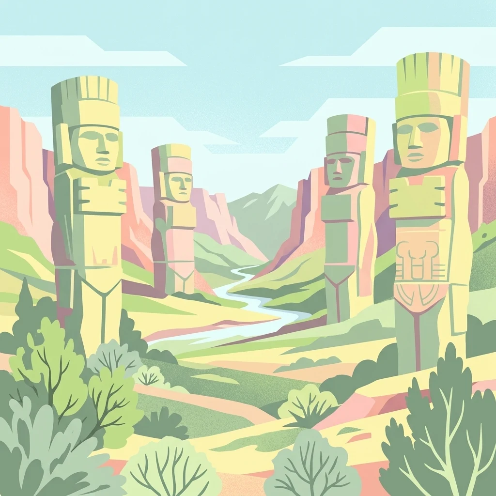
Stylized illustration showing four large stone statues in a valley landscape with a river, hills, and vegetation
Protected areaMexico
About 366 km away#16 closest

South

Tula National Park: Mapped Protected Landscape and Toltec Civilization Atlas

Explore iconic Toltec warrior sculptures and the surrounding geographic terrain.

Tula National Park in Mexico offers a detailed look at the Postclassic Toltec capital, Tollan-Xicocotitlan. As a protected area, its preserved ruins, including the striking Atlantes de Tula warrior columns and the serpent wall, provide crucial insights into Mesoamerican history and architecture. This site's geographic setting in the Tula River Valley, coupled with its architectural parallels to other major sites, makes it a focal point for understanding ancient regional dynamics and landscape utilization.

Area
1 km²
Established
1981
Relief
Upland
Climate
Arid
A soft watercolor painting of layered green and pink hills under a pale yellow sky.
Protected areaGuanajuato
About 394 km away#17 closest

Southwest

Sierra de Lobos Protected Area: Mountain Geography and Watershed Mapping in Guanajuato

An ecological transition zone between the Bajío and the Mexican Plateau

Sierra de Lobos stands as a complex mountain range and sustainable use area in Guanajuato, Mexico. Its unique physiographic location provides a habitat bridge for diverse wildlife and a necessary water source for regional communities. This profile maps its transition from tropical dry forest foothills to pine-oak forests at higher altitudes, highlighting its role as a core protected landscape.

Area
1,270.58 km²
Established
1997
Relief
Mountain
Climate
Subtropical
Protected areaGuanajuato
About 409 km away#18 closest

Southwest

Sierra de los Agustinos: Volcanic Mountain Geography and Protected Landscape in Guanajuato

Exploratory mapping of the Trans-Mexican Volcanic Belt

Sierra de los Agustinos represents a unique geological and ecological transition zone in central Mexico. This protected area features a complex mosaic of oak forests and volcanic ridges that influence regional hydrology. As a key segment of the northern volcanic belt, it provides a crucial environmental buffer for the Lerma River basin and the surrounding agricultural lowlands.

Area
191.65 km²
Established
2002
Relief
Mountain
Scope
Terrestrial
National parkState of Mexico
About 416 km away#19 closest

South

Molino de Flores Nezahualcóyotl National Park: National Park Protected Landscape Exploration

Mapped geographic context within the State of Mexico.

Access structured details about Molino de Flores Nezahualcóyotl National Park, a significant protected area designated as a national park. This entry focuses on its role as a mapped landscape, providing essential geographic context for understanding its boundaries and natural terrain. Discover how this protected area contributes to the broader atlas of conservation lands in the region.

Area
0.49 km²
Established
1937
IUCN
II
Visitors
10K annual
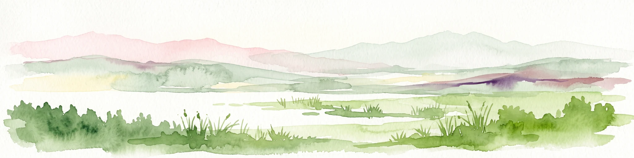
Watercolor painting depicting a flat wetland landscape with green grasses in the foreground and soft purple and green rolling hills in the background under a pale sky.
Protected landscapeEstado de México
About 420 km away#20 closest

South

Parque Ecológico Lago de Texcoco: Mapped Protected Landscape and Regional Geography

A large-scale wetland and ecological restoration project in the Valley of Mexico.

Parque Ecológico Lago de Texcoco stands as a significant protected landscape, transforming a drained lacustrine basin into a vibrant mosaic of saline vegetation and water regulation zones. As an internationally recognized Ramsar wetland and Important Bird Area, the site offers a deep look into the ecological recovery of the Valley of Mexico. The terrain is defined by its flat basin character, ancient archaeological remnants on elevated hill areas, and a expansive network of restored water systems.

Area
140 km²
Established
2024
Relief
Lowland
Climate
Temperate
Distance methodology

Geographic measurements, not driving distances

How nearby park distances are calculated

Distances use park boundaries whenever the available geometry allows it. When one or both boundaries are missing, the mapped park locations provide a clearly labelled estimate. Every value represents straight-line geographic separation and does not use roads or routing.

Boundary distance

Calculated between the nearest points of both park boundaries.

Location-to-boundary estimate

Estimated from one mapped park location to the nearest boundary of the other park.

Mapped-location estimate

Estimated between the mapped locations of both parks.

MoriAtlas Explorer

Explore the Geographic Boundaries and Landscape Profile of the Sierra de Tamaulipas

Trace the elevation-driven vegetation gradients and karst formations of this isolated Mexican mountain range. This MoriAtlas destination provides a structured overview of the terrain, boundaries, and ecological diversity that define the Sierra de Tamaulipas as a significant protected natural area.