Mori Atlas logo
Nearby park discovery

Geographic context and regional proximity for protected natural landscapes

Protected Areas and National Park Landscapes Near Sutjeska National Park in Bosnia

Examine the distribution of national parks and designated protected areas surrounding Sutjeska National Park. This geographic overview identifies neighboring sites to illustrate the regional landscape pattern and mountain terrain connectivity within this part of the Balkans.

Stylized illustration of a mountainous landscape with a waterfall, forest, and sun.

Bosnia's oldest national park protecting primeval forests and the Balkan's highest peaks

Sutjeska National Park

Sutjeska National Park is Bosnia and Herzegovina's oldest national park, established in 1962 and located in the southeastern region of the country near the town of Foča. The park encompasses approximately 16,000 hectares of rugged mountain terrain along the border with Montenegro, protecting some of the most significant natural landscapes in the Balkans. At its heart lies Maglić Mountain, which rises to 2,386 meters and stands as Bosnia and Herzegovina's highest peak, straddling the international boundary. The park is renowned for containing Perućica, one of the last remaining primeval forests in Europe, a strict nature reserve where trees have never been logged and some specimens are estimated to be 300 years old. Beyond its ecological significance, the park holds profound historical importance as the site of the Battle of Sutjeska in 1943, a pivotal World War II engagement where Yugoslav Partisans under Marshal Josip Broz Tito successfully broke out of encirclement by German forces.

Location
Bosnia and Herzegovina
Park type
National park
Established
1962
Area
160.5 km²
Highest point
2,386 m
Sutjeska National Park Protected Landscape
Regional park map

See the ranked park cluster in its geographic setting

Nearby parks around Sutjeska National Park

This regional map shows the same 17 nearby parks ranked below around Sutjeska National Park. Select a ranked marker to highlight that park’s boundary where boundary data is available.
Reference park: Sutjeska National ParkRanked nearby parkSelected boundary: Sutjeska National Park17 nearby parks shown
17 nearby parks

Geographic proximity, regional separation, and surrounding protected-landscape comparisons

Ranked Parks and Protected Areas Geographically Near Sutjeska National Park

Spatial proximity measurements establish a ranked collection of protected areas surrounding Sutjeska National Park to illuminate regional terrain patterns. Boundary-based separation and recorded environmental attributes provide structured comparison signals for adjacent conservation landscapes.
A soft watercolor illustration of a mountain range with foreground meadows and trees, rendered in light green, pink, and muted purple tones against a white background.
National parkŽabljak
About 27 km away#1 closest

Southeast

Durmitor National Park

High-altitude mountain geography and glacial plateau systems

Durmitor National Park, in Žabljak, Montenegro. Landscapes: mountains, plateaus, and canyons.

Area
390 km²
Established
1952
IUCN
II
Relief
Mountain
Watercolor painting depicting a river flowing through a valley with mountains in the background and trees on both sides
National parkSerbia
73 km away#2 closest

Northeast

Tara National Park: Endemic Flora and Dramatic Dinaric Alps Geography

Discover Serbia's iconic protected mountain landscape and its unique botanical heritage.

Tara National Park is a significant protected area in Serbia, celebrated for its exceptional botanical value and dramatic mountainous terrain. It is the last refuge for Pančić's spruce, a living fossil conifer, and hosts a remarkable diversity of Balkan flora. The park's landscape is defined by steep limestone cliffs, deep river valleys like the Drina canyon, and expansive forest ecosystems, offering a unique geographic study of protected lands. Explore its mapped features and discover a vital conservation area within the Dinaric Alps.

Area
249.92 km²
Established
1981
IUCN
II
Relief
Mountain
Watercolor painting showing a river canyon with mountains in the background and green vegetation in the foreground
National parkBosnia and Herzegovina
76 km away#3 closest

Northeast

Drina National Park: Bosnia and Herzegovina's Protected Canyon and Endemic Ecosystem

Explore mapped geography and natural landscapes in this Balkan national park.

Drina National Park is a protected area in eastern Bosnia and Herzegovina, celebrated for its striking Drina River canyon landscape. As a national park, it preserves vital habitats for endemic species such as the Serbian spruce and provides a crucial geographic anchor for regional conservation. Its deep gorges and steep slopes offer a rich context for understanding the natural terrain and mapped boundaries within the broader Balkan geography.

Area
63.15 km²
Established
2017
IUCN
II
Relief
Mountain
A pale, wide watercolor illustration showing rolling green hills and a winding stream, framed by distant, hazy mountain ridges.
Protected landscapeMontenegro
About 77 km away#4 closest

South

Orjen Protected Landscape: Montenegro Mountain Geography and Karst Atlas

High-altitude karst massif and Dinaric coastal mountain.

Orjen rises as a dramatic limestone block above the Adriatic coast of Montenegro, forming a high-altitude sanctuary defined by intensive Pleistocene glaciation and record-breaking annual precipitation. This protected landscape encompasses extensive dolines, roches moutonnées, and specialized cold-air refugia, providing a detailed study of sub-Mediterranean highland vegetation and complex subterranean karst drainage.

Area
400 km²
Established
2017
Relief
Mountain
Climate
Mediterranean
Watercolor painting showing a mountain landscape with green forests, valleys, and distant hills
National parkMontenegro
About 81 km away#5 closest

Southeast

Biogradska Gora National Park

Discover Montenegro's oldest national park with mapped terrain and regional geography.

Biogradska Gora National Park, in Montenegro.

Area
54 km²
Established
1952
IUCN
II
Relief
Mountain
Watercolor illustration showing rolling hills, a river, trees, and distant mountains
Protected landscapeSerbia
About 82 km away#6 closest

Northeast

Zlatibor Protected Landscape: Explore its Mapped Geography and Unique Alpine Meadows

Discover Dinaric Alps protected terrain and landscape context.

Zlatibor Protected Landscape offers a distinct exploration of mountainous terrain and protected natural areas in Serbia. Situated in the Dinaric Alps, its landscape is defined by rolling upland plateaus, dense coniferous forests, and open alpine meadows, creating a visually rich environment. The park's geography includes notable karst features and extensive cave systems, complemented by the natural boundaries of significant rivers. Delve into the mapped protected area to understand its landscape character, from the highest peak at Tornik to the unique geological formations and the rare endemic pine subspecies, providing a concrete geographic perspective for atlas-based discovery.

Area
0.419 km²
Established
2017
IUCN
VI
Relief
Mixed relief
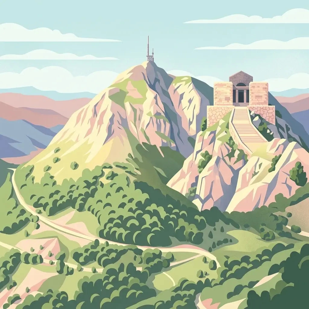
A stylized, flat-design digital illustration of the Njegoš Mausoleum situated on a rocky peak, with a winding path and forested slopes below.
National parkMontenegro
About 96 km away#7 closest

South

Lovćen National Park

Dinaric massif rising above the Adriatic coastal basin.

Lovćen National Park, in Montenegro. Landscapes: mountains, cliffs, and caves.

Area
62.2 km²
Established
1952
IUCN
II
Relief
Mountain
Watercolor painting showing a mountainous landscape with a lake, green hills, and pink flowers
National parkAlbania
104 km away#8 closest

Southeast

Alps of Albania National Park: Explore Albania's Largest Protected Alpine Wilderness

Dramatic karst, glacial valleys, and high-altitude ecosystems await.

The Alps of Albania National Park offers an expansive view into one of the Balkans' most significant mountain protected areas. This national park encompasses a spectacular landscape characterized by towering limestone peaks, deep glacial valleys carved over millennia, and intricate karst formations like Grunas Canyon. Its pristine wilderness protects diverse high-altitude ecosystems and unique geological features, serving as a key destination for understanding regional geography and protected landscapes.

Area
828.447 km²
Established
2022
IUCN
II
Relief
Mountain
Watercolor painting showing two pink-hued lakes surrounded by green vegetation and distant mountains under a light yellow sky
National parkCroatia
108 km away#9 closest

Southwest

Mljet National Park

Explore mapped park boundaries and Mediterranean island geography.

Mljet National Park, in Croatia. Landscapes: islands, lakes, and forests.

Area
53 km²
Established
1960
IUCN
II
Relief
Lowland
A watercolor painting showing a soft, panoramic landscape of low hills, green fields, and water, with a light and ethereal style.
Protected areaMontenegro
About 109 km away#10 closest

South

Cijevna Protected Area: Mapping the River Canyon and Balkan Highlands Geography

An alpine river system spanning the Montenegro and Albania border

The Cijevna represents a striking natural corridor carved into the Prokletije mountains. This protected landscape is defined by its deep V-shaped valleys, high-altitude gorges, and seasonal discharge patterns that sustain important freshwater biodiversity across the Balkan highlands.

Watercolor painting of green mountains, forests, and fields under a light sky
National parkKosovo
118 km away#11 closest

Southeast

Bjeshkët e Nemuna National Park: Kosovo's Largest Alpine Protected Landscape

Explore dramatic mountains, glacial lakes, and diverse ecosystems.

Delve into the protected geography of Bjeshkët e Nemuna National Park, Kosovo's expansive national park located in the Accursed Mountains. This atlas entry details its significant alpine terrain, from dense forests to high-altitude meadows, and highlights the presence of glacial lakes like Liqenat. Understand its role as a vital conservation corridor and a key component of the Balkan's natural heritage.

Area
630.28 km²
Established
2012
IUCN
II
Relief
Mountain
Watercolor illustration of a landscape with green hills, a river, and distant mountains under a light sky
Protected landscapeDalmatia
About 120 km away#12 closest

West

Biokovo Nature Park: Protected Landscape and Karst Terrain in Dalmatia

Explore Dalmatia's premier protected mountain range along the Adriatic.

Biokovo Nature Park is a striking protected landscape situated in the Dalmatia region of Croatia, characterized by its immense limestone massifs that create a formidable barrier between the coast and the continental interior. This protected area is defined by its classic karst topography, featuring a complex network of sinkholes and caves, and offers unparalleled views from peaks like Sveti Jure. MoriAtlas provides detailed geographic context for understanding Biokovo Nature Park's unique terrain, mapped boundaries, and its significant role in the regional landscape.

Area
196 km²
Established
1981
IUCN
V
Relief
Mountain
A watercolor illustration of a soft mountain range landscape with pine trees in the foreground against a white background.
Protected areaAlbania
About 127 km away#13 closest

Southeast

Accursed Mountains: Geographic Analysis of Albania High Alpine Protected Terrain

Rugged karstic relief and glacial mountain landscapes.

Discover the Accursed Mountains, a formidable high-mountain range in northern Albania known for its sheer limestone cliffs and profound glacial sculpting. This protected area provides a critical habitat for relict flora and fauna while maintaining one of the most intense relief profiles in the Balkans. Examine the mapped canyons, alpine cirques, and jagged ridges that shape this landmark range.

Relief
Mountain
Climate
Alpine
Access
Moderate access
Scope
Terrestrial
Watercolor illustration of rolling hills, green vegetation, and distant mountains under a light sky
Protected areaCroatia
130 km away#14 closest

Southwest

Lastovo Nature Park

Mapped karst terrain, ancient architecture, and natural island geography.

Lastovo Nature Park, in Croatia. Landscapes: hills, islands, and caves.

Area
46.87 km²
Established
2006
IUCN
V
Relief
Upland
Watercolor illustration of a river flowing through a valley with mountains, greenery, and pink flowers
Protected landscapeSerbia
About 131 km away#15 closest

Northeast

Ovčar-Kablar Gorge Protected Landscape: Serbia's River Gorge and Monastery Atlas

Explore karst terrain, monastery sites, and mapped river meanders.

Ovčar-Kablar Gorge is a protected landscape in Serbia renowned for its dramatic karst geology and the West Morava river's pronounced meanders. This area offers a unique atlas perspective, highlighting over a dozen historic Serbian Orthodox monasteries nestled within the dramatic canyon setting. The protected landscape reveals a confluence of significant natural features, including karst cliffs and thermal springs, alongside centuries of spiritual heritage, making it a distinct point for geographic discovery and understanding Serbia's mapped natural and cultural resources.

Area
25 km²
Established
2001
IUCN
V
Relief
Mixed relief
Watercolor painting of a lake landscape with green marshes in the foreground, small islands in the middle, and rolling hills in the background.
National parkMontenegro
About 131 km away#16 closest

South

Lake Skadar

Karst Terrain and Transboundary Protected Landscapes

Lake Skadar, in Montenegro. Landscapes: cliffs, lakes, and rivers.

Area
450 km²
Established
1983
Relief
Lowland
Climate
Mediterranean
A soft watercolor illustration of a mountain landscape with coniferous trees, rolling hills, and hazy pink mountains in the distance, set against a plain white background.
Nature reserveKukës County
About 145 km away#17 closest

Southeast

Gashi Valley Nature Reserve: A Geographic Profile of Alpine Albania

Glacial terrain and protected primeval forests in Kukës County

Gashi Valley represents a vital nature reserve and protected alpine landscape in the Albanian Alps. Characterized by its glacial history, the area contains rugged ridges, morainic lakes, and primeval beech forests that serve as a crucial benchmark for European broadleaf ecosystems. This site offers deep insight into the complex geology and ecological significance of the northeastern mountain regions in Albania.

Area
30 km²
IUCN
Ia
Relief
Mountain
Climate
Alpine
Distance methodology

Geographic measurements, not driving distances

How nearby park distances are calculated

Distances use park boundaries whenever the available geometry allows it. When one or both boundaries are missing, the mapped park locations provide a clearly labelled estimate. Every value represents straight-line geographic separation and does not use roads or routing.

Boundary distance

Calculated between the nearest points of both park boundaries.

Location-to-boundary estimate

Estimated from one mapped park location to the nearest boundary of the other park.

Mapped-location estimate

Estimated between the mapped locations of both parks.

MoriAtlas Explorer

Continue Exploring Sutjeska National Park's Geographic and Protected Landscape Features

Delve deeper into the mapped terrain and protected area identity of Sutjeska National Park. Understand its role within the broader regional geography and discover the unique characteristics of this significant Balkan natural landscape. MoriAtlas provides structured insights into its ancient forests, mountain peaks, and glacial lakes for comprehensive geographic discovery.