Mori Atlas logo
Park earthquake history

Explore a geographic catalogue of recorded seismic events and event metadata near the Kopet Dag mountain range.

Historical Earthquake Records and Seismic Activity Near Tandooreh National Park in Iran

This historical catalogue provides a structured overview of recorded earthquake activity located within proximity to Tandooreh National Park. Each entry tracks significant seismic events by epicentre distance, providing technical data including event dates, magnitude ratings, and focal depths derived from established geological sources. The data allows for a clearer understanding of the regional seismic context surrounding the rugged landscapes and juniper woodlands of this high altitude protected area in northeastern Iran.

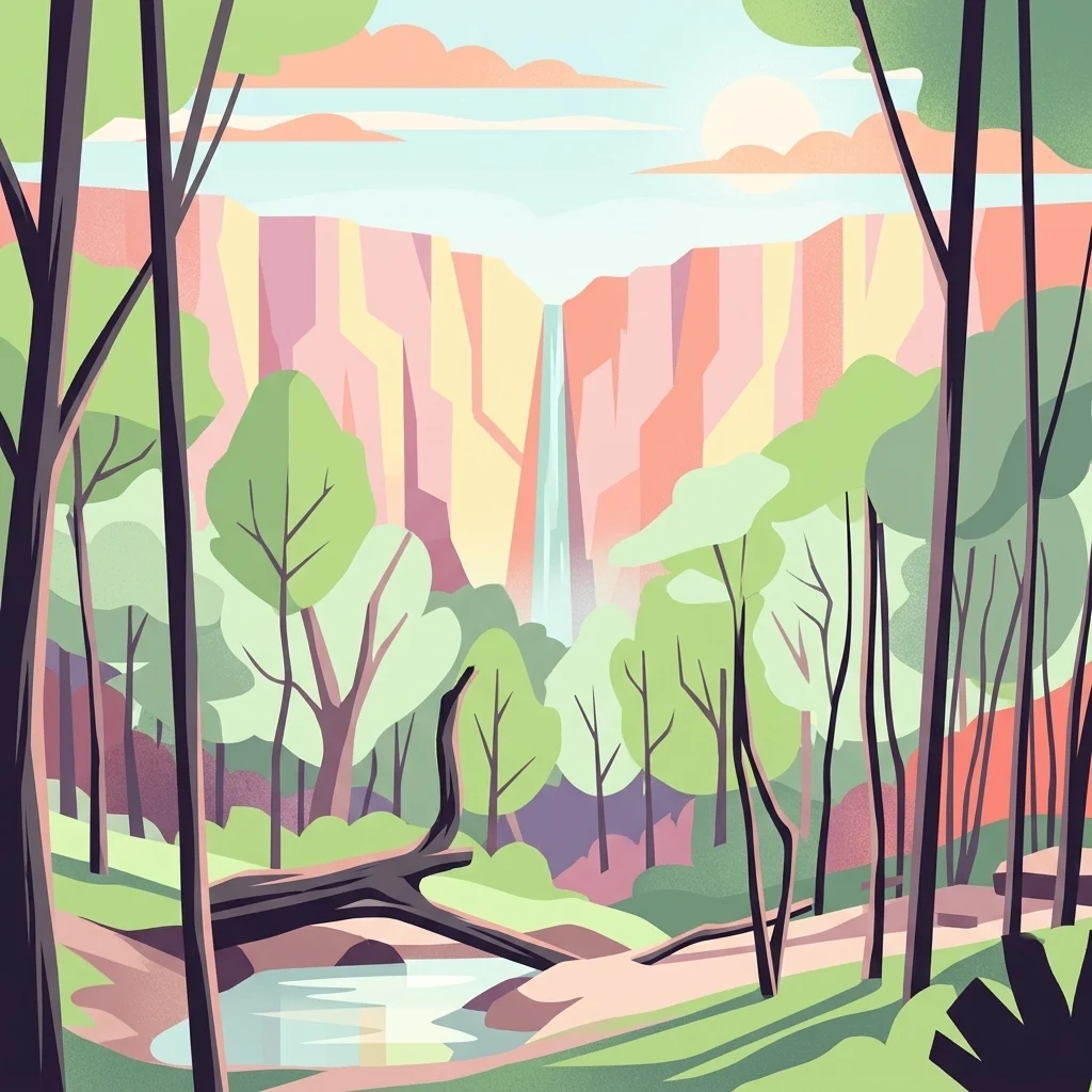
Colorful illustration of a forest scene with tall trees, a small river, and a waterfall in the background.

Juniper-covered mountain landscapes in northeastern Iran near the Turkmen border

Tandooreh National Park

Tandooreh National Park is a protected mountainous area located in northeastern Iran, near the city of Dargaz and the border with Turkmenistan. Established in 1982, the park covers approximately 355 square kilometers of rugged terrain characterized by deep valleys, steep cliffs, and elevation ranges from 980 to 2,600 meters. The park represents a significant ecological zone within Iran's protected area network, safeguarding juniper woodlands that blanket the mountain slopes and thicket vegetation along river corridors. Open areas within the park feature characteristic Artemisia steppe, creating a mosaic of forest and grassland habitats across this high-altitude landscape in the Kopet Dag mountain region.

Location
Iran
Park type
National park
Established
1982
Area
355.4 km²
Tandooreh National Park National Park Atlas

Search Tandooreh National Park records by distance

Examine recorded earthquake data around Tandooreh National Park

Compare reported earthquake epicentres with Tandooreh National Park’s 355.4 km² mountain setting in Iran; search published localities and dates, examine magnitude and depth values, and check the calculated distance from the park before following the source link. These spatial associations neither confirm occurrence inside the boundary nor explain cause, damage or prospective hazard.

Sort by
Magnitude
Location

This page describes catalogued earthquakes associated with the park by epicentre location and distance. It does not establish causation, assess current danger, or predict future earthquakes.

No earthquake records match the current filters

Park atlas

Leave northeastern Iran's juniper mountains for wider discovery

Cross into more protected places after Tandooreh National Park

Tandooreh National Park's earthquake record is situated among mountain and steppe landscapes near Iran's Turkmen border. Destinations introduced afterward have their own conservation stories and should not be interpreted as sharing Tandooreh's terrain, designation, biodiversity, geology, seismic conditions, proximity, hazard, or documentation level.
National parkGolestan province
About 193 km away#1 closest

West

Golestan National Park: Mapped Protected Area in Golestan Province, Iran

Explore its geographic context and landscape identity.

Golestan National Park is a designated national park situated in Iran's Golestan province. This page details its protected landscape, offering insights into its geographic placement and mapped boundaries. Ideal for users seeking to understand the park's role within regional geography and its specific natural terrain features, this entry serves as a primary atlas point for Golestan National Park.

Area
918.95 km²
IUCN
II
Relief
Mountain
Climate
Temperate
National parkSemnan Province
272 km away#2 closest

Southwest

Khar Turan National Park: A Vast Protected Landscape and Critical Cheetah Habitat in Iran

Explore Semnan Province's premier national park, mapped desert terrain, and vital wildlife refuge.

Khar Turan National Park is a significant protected landscape in Iran's Semnan Province, renowned for its expansive arid and semi-desert terrain. As the country's second-largest national park and a UNESCO Biosphere Reserve, it plays a critical role in conserving biodiversity, notably as a last bastion for the critically endangered Asiatic cheetah and Persian onager. Its diverse geography, from mountains to salt pans, offers a compelling atlas of life adapted to harsh desert conditions.

Area
14,000 km²
IUCN
II
Relief
Mixed relief
Climate
Arid
National parkIran
577 km away#3 closest

Southwest

Kavir National Park: A Major Protected Desert Landscape in Iran

Explore its arid terrain, conservation significance, and mapped boundaries.

Kavir National Park stands as a significant protected area within Iran, encompassing a vast 4,000 square kilometer expanse of desert and steppe landscapes on the western flank of the Kavir Desert. Designated as a national park, it plays a crucial role in preserving one of the Middle East's most extensive arid ecosystems and serves as a critical sanctuary for endangered species, including the Asiatic cheetah and Persian leopard. Its stark, open terrain offers a profound example of Iran's natural heritage and provides essential data for understanding regional geography and protected land distribution.

Area
4,000 km²
Established
1982
IUCN
II
Relief
Lowland
National parkMazandaran Province
About 611 km away#4 closest

West

Lar National Park National Park: Mapped Protected Landscape and Alborz Geography

Alpine terrain and regional context within Mazandaran Province.

Lar National Park stands as a critical national park, encompassing approximately 30,000 hectares of alpine and sub-alpine wilderness in Mazandaran Province, Iran. Its protected landscape is characterized by steep mountain valleys and ridgelines, situated at the southern base of Mount Damavand. This atlas-focused view reveals the park's mapped boundaries and its significant geographic position within the Central Alborz mountain range, crucial for understanding Iran's protected natural areas.

Area
300 km²
Established
1976
IUCN
II
Relief
Mountain
National parkTehran Province
650 km away#5 closest

West

Sorkheh Hesar National Park: Protected Mountain Forest Landscape Near Tehran

Explore its mapped terrain and regional protected area context.

Sorkheh Hesar National Park stands as a significant protected forest area within Tehran Province, Iran. Spanning 9,380 hectares, this mountainous national park is characterized by its unique semi-arid climate and crucial role in conserving threatened species, including the Persian fallow deer and Persian leopard. The Jajrood River flows through its landscape, enhancing biodiversity and supporting a rich forest ecosystem. Its proximity to Tehran makes it a notable example of urban-adjacent conservation, offering valuable insights into protected land management and regional geography.

Area
93.8 km²
Established
1980
IUCN
II
Climate
Arid
Watercolor painting of rolling hills, a body of water, and vegetation
National parkBaku
About 777 km away#6 closest

Northwest

Absheron National Park: Coastal Azerbaijan National Park with Caspian Seal Habitats

Explore mapped geography and semi-desert terrain near Baku.

Absheron National Park, located near Baku on the Absheron Peninsula, is a significant national park safeguarding coastal Caspian Sea environments. Its protected landscapes feature semi-arid terrain and are vital for the conservation of Caspian seals and migratory waterbirds. MoriAtlas provides a structured overview of this unique protected area, focusing on its geographic features, ecological importance, and its role as a key national park within Azerbaijan's atlas of natural reserves.

Area
7.83 km²
Established
2005
IUCN
II
Relief
Lowland
National parkAfghanistan
About 801 km away#7 closest

East

Band-e Amir National Park: Afghanistan's National Park for Geographic and Landscape Discovery

Explore the unique terrain and mapped protected boundaries.

Band-e Amir National Park represents a core protected area within Afghanistan, offering a detailed geographic study for atlas exploration. Understand its significance as a national park, focusing on the mapped boundaries and the distinct natural landscapes it encompasses. This entry provides foundational context for appreciating the park's role within the broader regional geography and protected land network.

IUCN
II
Scope
Terrestrial
Nature reserveBamyan Province
About 823 km away#8 closest

Southeast

Ajar Valley Nature Reserve: Protected Area and Alpine Landscape Identity

Rugged terrain and ibex habitat within Bamyan Province geography.

Ajar Valley Nature Reserve is a cornerstone protected area in Bamyan Province, Afghanistan, recognized for its rugged alpine terrain and role as ibex habitat. Established as one of the nation's oldest nature reserves, it offers a profound insight into the geographic context of the Hindu Kush. This page details the reserve's landscape characteristics, protected boundaries, and its vital place in the country's conservation atlas, providing a factual basis for understanding its ecological significance.

IUCN
IV
Relief
Mountain
Access
Highly restricted
Scope
Terrestrial
MoriAtlas Explorer

Continue Exploring Tandooreh National Park's Protected Landscape and Regional Geography

Dive deeper into the atlas representation of Tandooreh National Park. Understanding its specific geography, mapped boundaries, and position within Iran's natural landscape context provides a foundation for broader protected-area discovery. Continue your exploration to uncover the detailed geographic attributes that make this national park a significant feature in the regional atlas.